グロースハルタウでののおすすめグラベルライド
4.5
(37)
244
ライダー
36
ライド
Gravel biking around Großharthau offers diverse landscapes, featuring a mix of mostly paved sections, unpaved segments, and fine gravel paths. The region is characterized by gentle hills and verdant forests, including the extensive Massenei Forest, providing a tranquil environment for exploration. Located on the northern edge of the Lusatian Highlands, the area features varied topography with river valleys like the Wesenitz and forested areas such as the Karswald. Proximity to the Dresdner Heide further expands the network of trails, offering…
最終更新日: 9月 9, 2026
4.3
(15)
134
ライダー
65.7km
05:11
620m
620m
Tackle the difficult Through the gravel paradise to Schwedenstein route, a 40.8-mile gravel biking challenge with 2050 feet of elevation gai
3.0
(1)
15
ライダー
51.4km
02:50
350m
350m
中程度のグラベルライド. ある程度のフィットネスレベルが必要です。 全般的に舗装された状態です。あらゆるスキルレベルに適しています。

4.3
(3)
7
ライダー
19.0km
01:02
140m
140m
初級者向けグラベルライド. あらゆるフィットネスレベルに適しています。 全般的に舗装された状態です。あらゆるスキルレベルに適しています。
5.0
(1)
12
ライダー
49.4km
02:43
350m
350m
難しいグラベルライド. ある程度のフィットネスレベルが必要です。 ツアーの一部で自転車を押して歩く必要があるかもしれません。
11
ライダー
34.6km
01:53
220m
220m
中程度のグラベルライド. ある程度のフィットネスレベルが必要です。 全般的に舗装された状態です。あらゆるスキルレベルに適しています。
さらに多くのルートや他のユーザーのおすすめ情報を確認できます。
すでにアカウントをお持ちですか?
おすすめのツアーは他のkomootユーザーが実際に経験した何千ものアクティビティに基づいています。
無料アカウントで今日から始めよう
次の冒険が待っています。
コミュニティからのヒント


The castle, its park and the surrounding ponds form a wonderful ensemble.
11
2

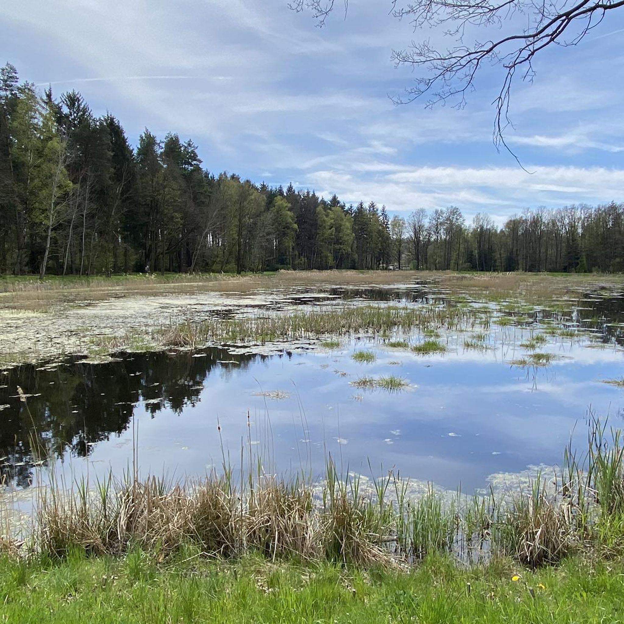
Brettteich lake, right near the castle, offers several seating areas for picnics in the open air. The quaint café "Zur Fichte 15" with its homemade cakes is also highly recommended.
0
0

The **Dresden Heath** is a large forest area in the northeast of Dresden and is one of the most important urban recreational and natural areas in Saxony. With an area of approximately **6,000 hectares**, it is one of the largest contiguous forest areas in Germany directly adjacent to a major city. ### Characteristics of the Dresden Heath: - **Location**: It is located in the northeast of the city of Dresden and extends from the Elbe River near Loschwitz to Radeberg. Neighboring districts include Bühlau, Weißer Hirsch, Klotzsche, and Langebrück. - **Natural area**: The heath is a mixed forest area with pines, beeches, oaks, and spruces, as well as numerous wetlands, streams (such as the Prießnitzbach), and moors. It is a habitat for many protected animal and plant species. - **History**: - The heath was already used as an electoral hunting ground in the Middle Ages. - In the 18th and 19th centuries, it increasingly served forestry purposes. - Today, it is a nature reserve and is part of the "Dresden Heath" nature reserve. - **Leisure and Recreation**: - The heath is a popular destination for hikers, cyclists, and runners. There is a dense network of marked trails, including the famous **Heidebogen**. - Historic rest areas, such as the **Luisenstein** or the **King Albert Obelisk**, as well as romantic sites such as the **Reservoir in the Prießnitzgrund**, make the area attractive. - **Cultural Significance**: - The Dresden Heath is not only a natural area, but also played a role in Saxon art and literature. Romantic poets and artists found inspiration here. In short: The Dresden Heath uniquely combines nature, history, and recreation right on the edge of a big city – a true gem for nature lovers and those seeking peace and quiet.
2
0


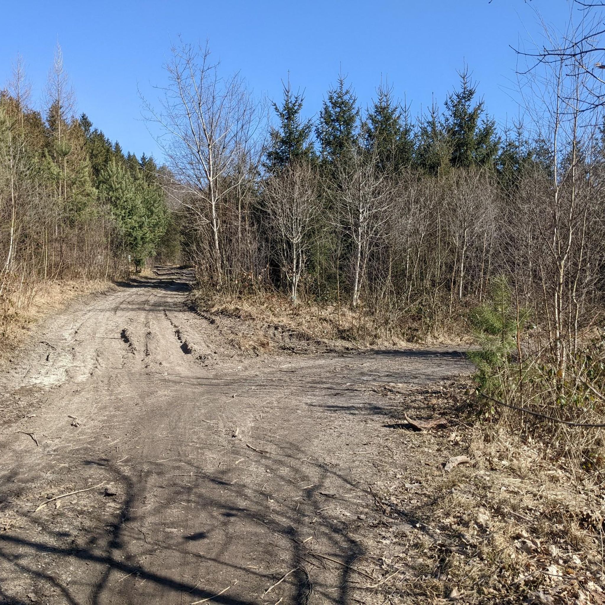
Already rides great with thin tires.
1
0

This replica of the Electorate of Saxony postal milepost stands in front of the Pulsnitz shooting range (the original inscription block and coat of arms from 1731 are in the town hall).
0
1

Just let your gaze wander over the water.
1
0

komootモバイルアプリでインスピレーションを得よう


さらに探索
他の地域の最高のグラベルライドを見てみましょう。
