エッケンタールでののおすすめグラベルライド
4.4
(355)
1,447
ライダー
147
ライド
komootがまとめたエッケンタールでののおすすめグラベルライドを参考にして、グラベルライドの魅力を最大限に楽しみましょう。難易度の高い登り坂や絶景のトレイルなど、あらゆるルートの中から厳選したエッケンタールでののグラベルライドをご覧ください。
最終更新日: 10月 20, 2026
5.0
(2)
10
ライダー
52.1km
03:09
410m
410m
中程度のグラベルライド. ある程度のフィットネスレベルが必要です。 全般的に舗装された状態です。あらゆるスキルレベルに適しています。
4.1
(12)
54
ライダー
25.4km
01:18
110m
110m
初級者向けグラベルライド. あらゆるフィットネスレベルに適しています。 全般的に舗装された状態です。あらゆるスキルレベルに適しています。

4.9
(7)
21
ライダー
32.7km
01:43
200m
200m
中程度のグラベルライド. ある程度のフィットネスレベルが必要です。 全般的に舗装された状態です。あらゆるスキルレベルに適しています。
4.5
(2)
49
ライダー
47.6km
02:31
260m
260m
中程度のグラベルライド. ある程度のフィットネスレベルが必要です。 全般的に舗装された状態です。あらゆるスキルレベルに適しています。
4.5
(6)
23
ライダー
28.3km
01:30
170m
170m
中程度のグラベルライド. ある程度のフィットネスレベルが必要です。 全般的に舗装された状態です。あらゆるスキルレベルに適しています。
さらに多くのルートや他のユーザーのおすすめ情報を確認できます。
すでにアカウントをお持ちですか?
おすすめのツアーは他のkomootユーザーが実際に経験した何千ものアクティビティに基づいています。
無料アカウントで今日から始めよう
次の冒険が待っています。
コミュニティからのヒント


@Engelbertson: ...確かにそうですが、アメリカ人はもうずっと前にいなくなりました :) しかし、フェンス越しにまだ掩体壕を見ることができます。
0
0


Beautiful cycle path uphill to the rock cellar in Kalchreuth, on the right-hand side opposite the sports field.
0
0

View into the Indian Gorge. The Muckenbach "gorge" contains the Upper Burgsandstein geological layer. It is 150 meters long and up to 10 meters deep.
2
0

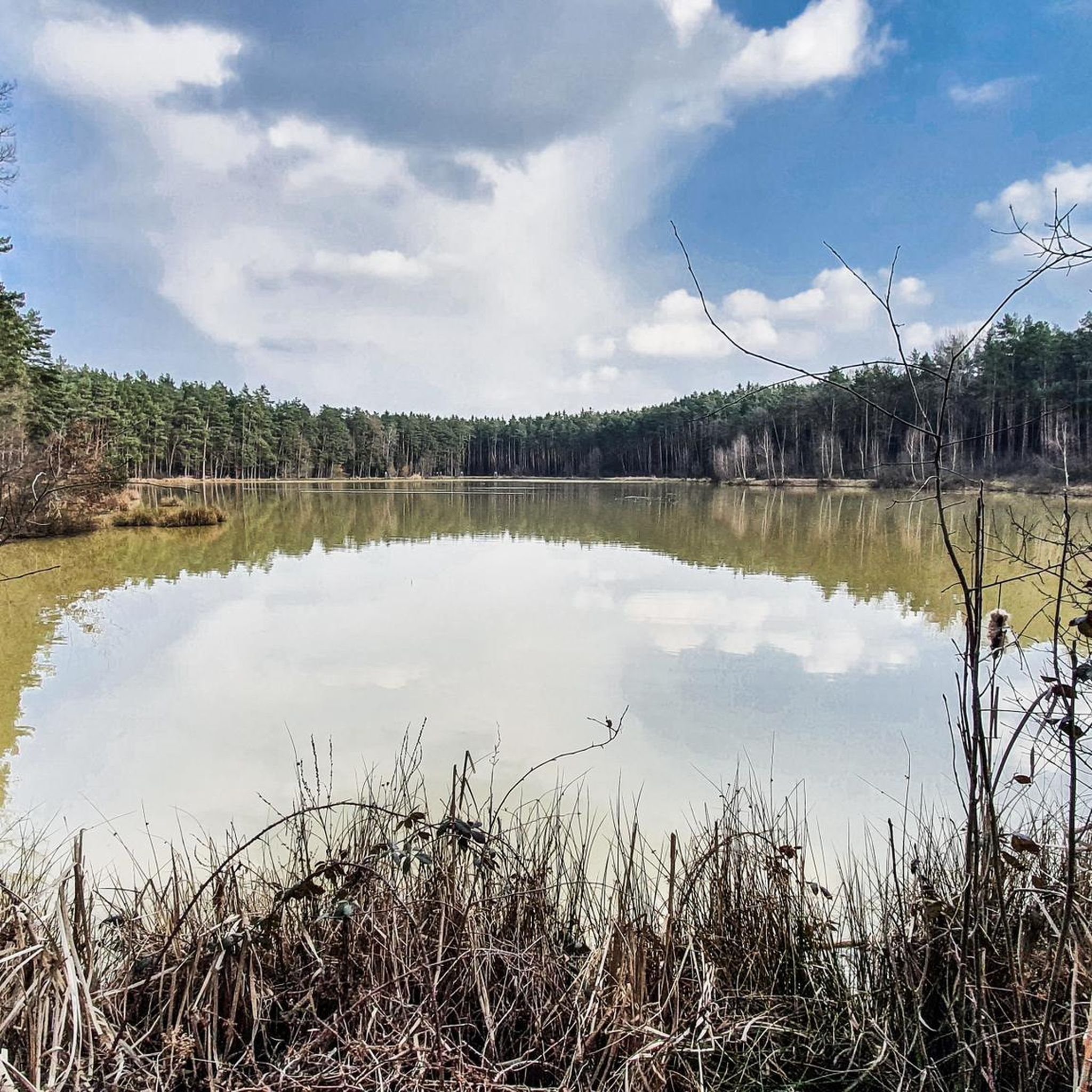
Between sandy areas and pine forests lie rare wetlands such as bogs, alder groves, and marshy depressions. They provide habitat for amphibians, reptiles, and rare plant species. These areas are not directly accessible, but can be easily observed from the hiking trails – please stay on the trails ⚠️.
5
0

Other municipalities should look at such approaches and emulate them.
4
0

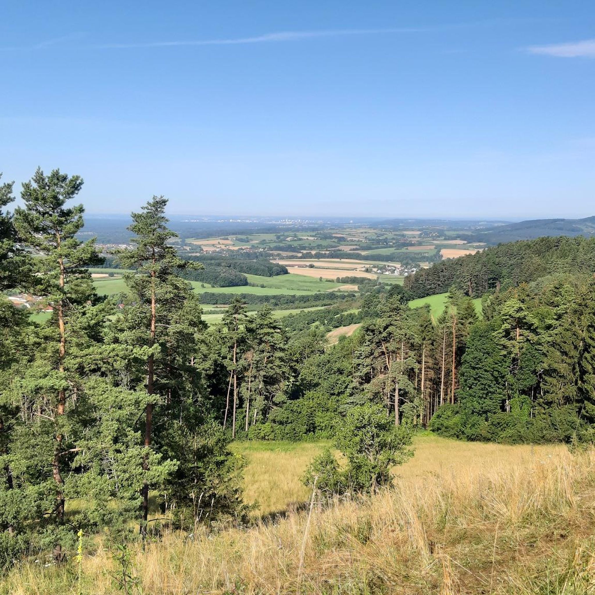
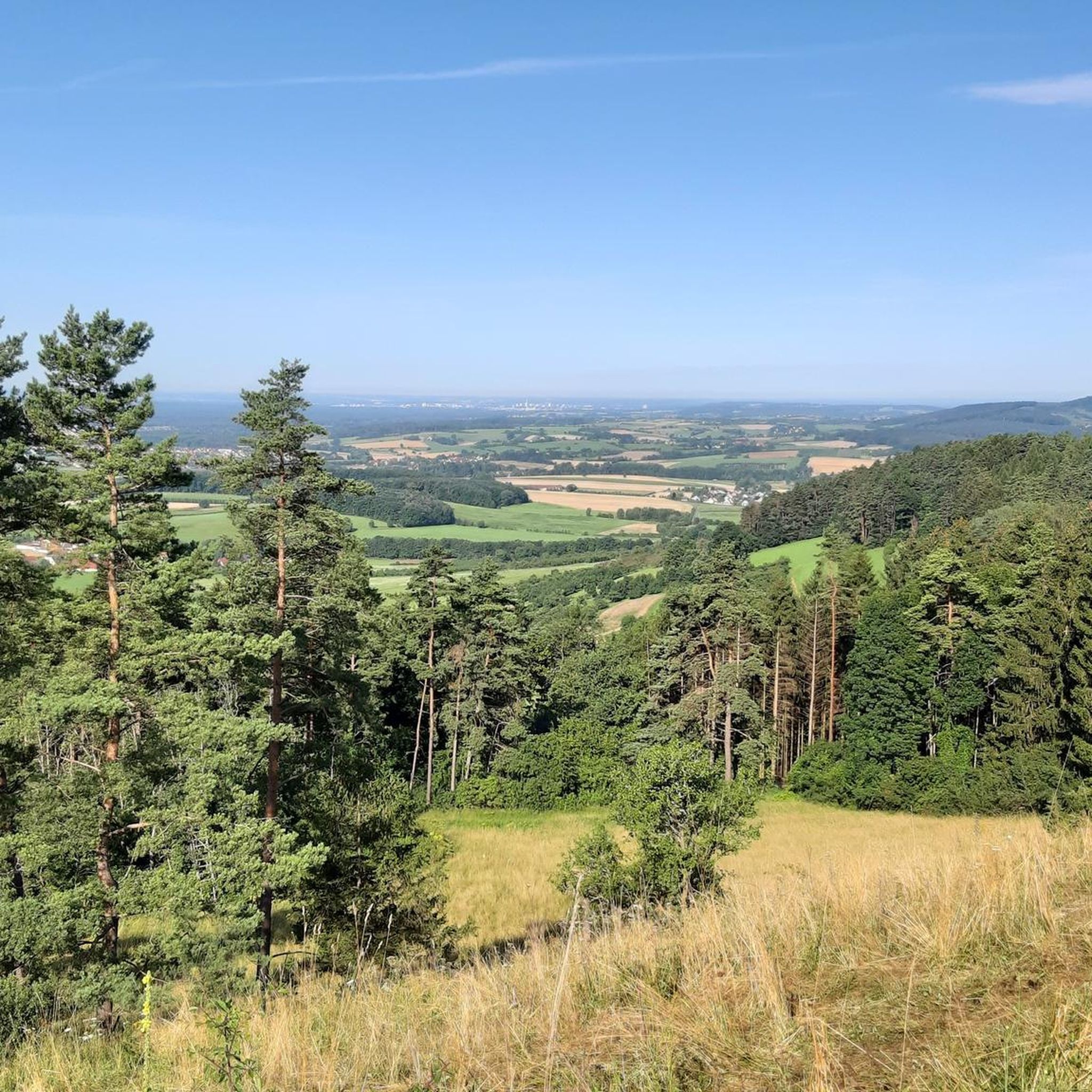
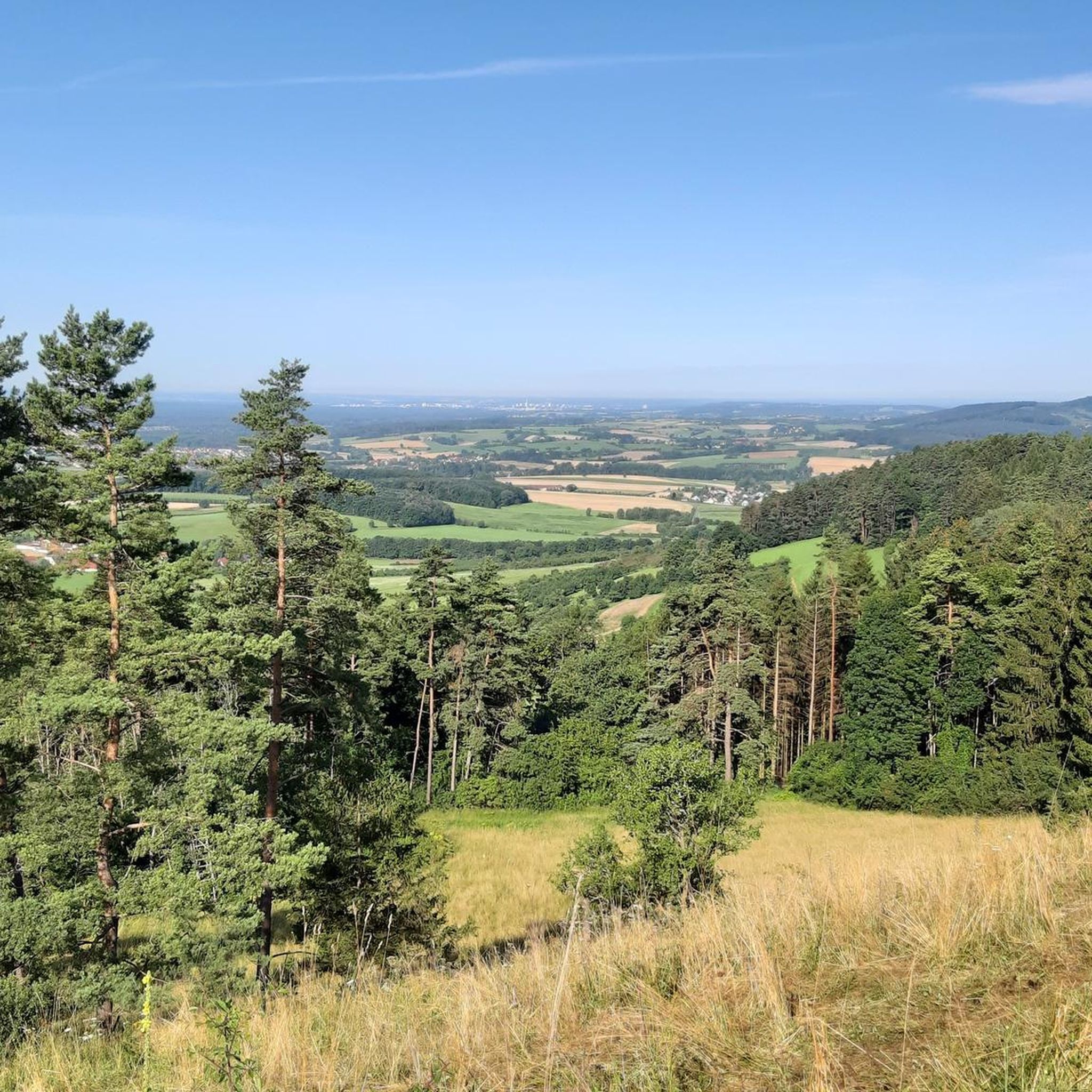
From here, you have a beautiful view of the municipality of Kalchreuth. The town lies at the foothills of the Franconian Alb. If you need a bite to eat, you'll find a small selection of places to stop for refreshments in the village.
1
0

komootモバイルアプリでインスピレーションを得よう


さらに探索
他の地域の最高のグラベルライドを見てみましょう。
