ヴァッカースドルフでののおすすめグラベルライド
4.2
(92)
472
ライダー
55
ライド
komootがまとめたヴァッカースドルフでののおすすめグラベルライドを参考にして、グラベルライドの魅力を最大限に楽しみましょう。難易度の高い登り坂や絶景のトレイルなど、あらゆるルートの中から厳選したヴァッカースドルフでののグラベルライドをご覧ください。
最終更新日: 8月 26, 2026
4.7
(16)
62
ライダー
29.3km
01:41
230m
230m
中程度のグラベルライド. ある程度のフィットネスレベルが必要です。 全般的に舗装された状態です。あらゆるスキルレベルに適しています。
4.7
(16)
76
ライダー
31.1km
01:48
250m
250m
中程度のグラベルライド. ある程度のフィットネスレベルが必要です。 全般的に舗装された状態です。あらゆるスキルレベルに適しています。

無料新規登録
3.5
(2)
13
ライダー
19.7km
01:10
100m
100m
初級者向けグラベルライド. あらゆるフィットネスレベルに適しています。 全般的に舗装された状態です。あらゆるスキルレベルに適しています。
4.2
(6)
23
ライダー
37.0km
02:09
270m
270m
中程度のグラベルライド. ある程度のフィットネスレベルが必要です。 全般的に舗装された状態です。あらゆるスキルレベルに適しています。
5.0
(3)
21
ライダー
6.64km
00:20
30m
30m
初級者向けグラベルライド. あらゆるフィットネスレベルに適しています。 全般的に舗装された状態です。あらゆるスキルレベルに適しています。
さらに多くのルートや他のユーザーのおすすめ情報を確認できます。
無料新規登録
すでにアカウントをお持ちですか?
おすすめのツアーは他のkomootユーザーが実際に経験した何千ものアクティビティに基づいています。
無料アカウントで今日から始めよう
次の冒険が待っています。
ログインまたは登録

コミュニティからのヒント


木製の球体は湖のハイライトです。個人的には入場料13ユーロの価値はないと思いますが(2026年5月現在)
1
0
木製のボールはいくつかの場所から見えます
1
0

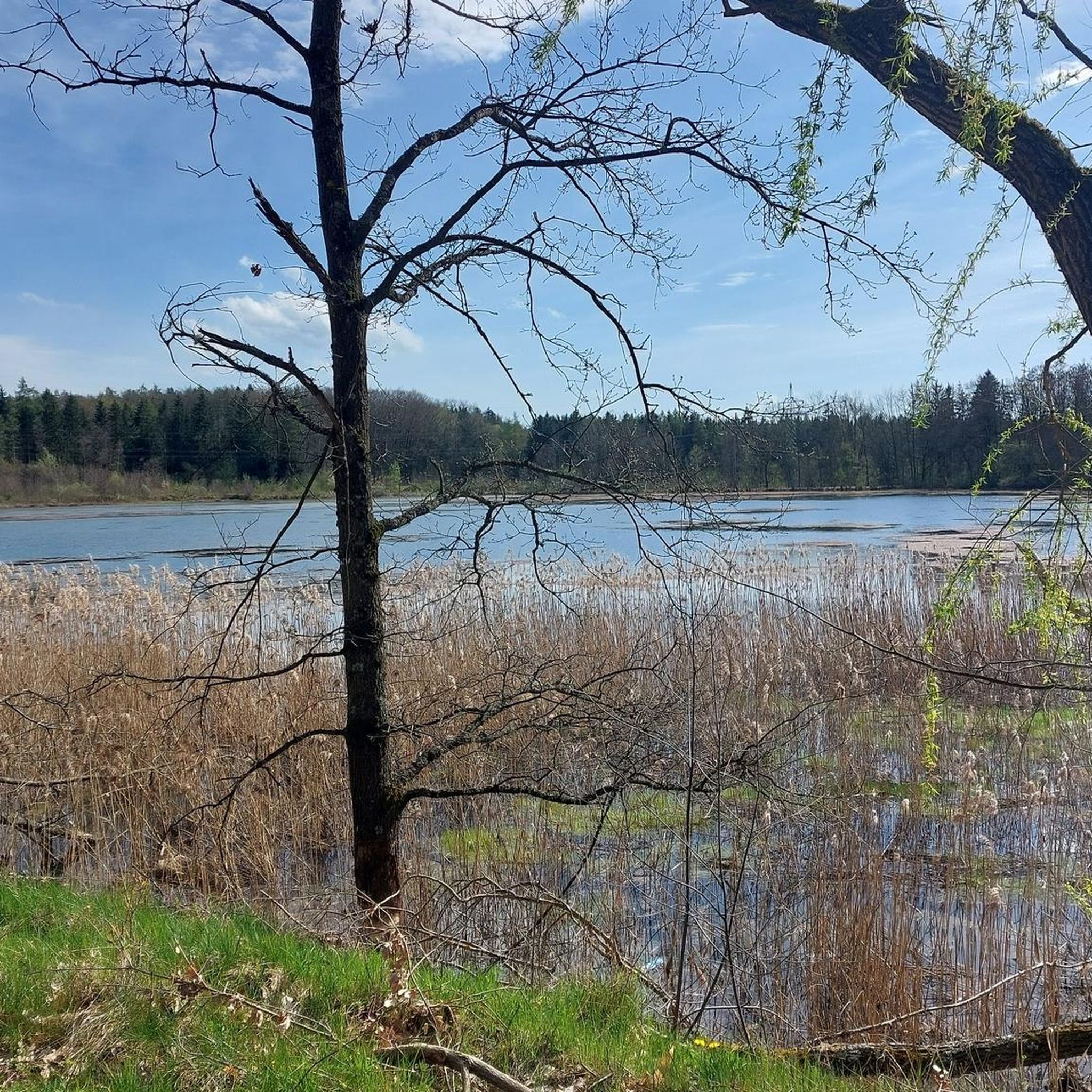
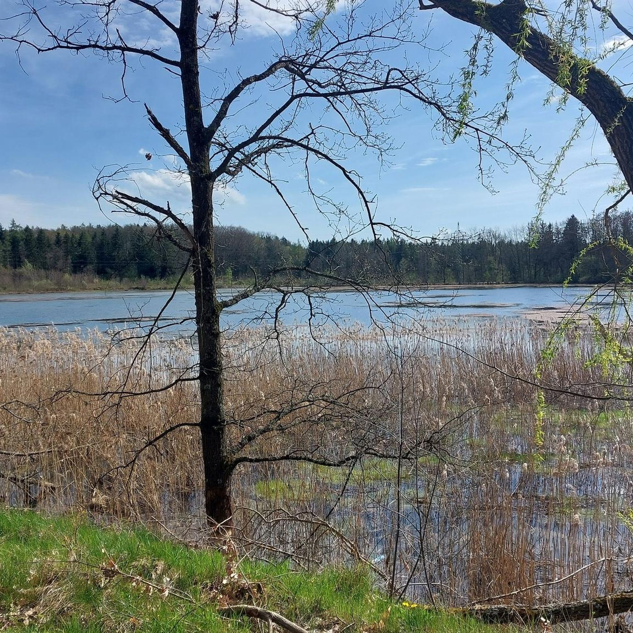
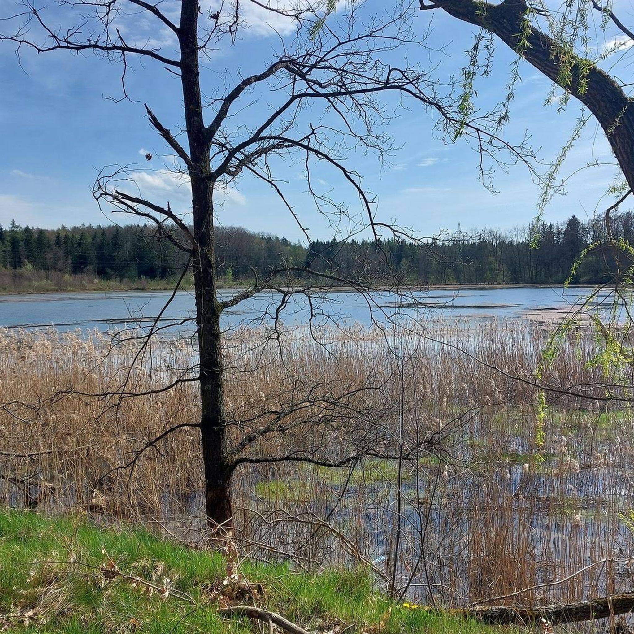
Lake Steinberger Lake Steinberger is part of the Upper Palatinate Lake District and, with an area of 1.84 km², is the largest lake in the Upper Palatinate. It was named after the municipality of Steinberg am See. It is 1.98 km long, 1.4 km wide, and has a maximum depth of 50 meters. The Schreckerbach stream feeds and drains the lake. After the Bavarian lignite industry ceased mining operations in the mid-1980s, the open-cast mine "Steinberger See" was flooded by reducing the water level. Remaining mining equipment was demolished and still lies on the lakebed. Two small, wooded islands also remain, which now divide the lake into a northern and a southern section. In the following decades, tourism developed at Lake Steinberger, bringing a degree of economic growth to the region. In addition to the Steinberger Yacht Club (SYC), founded in 1987, the area now boasts a sailing school, a water ski lift, a boat rental, a leisure park for families and children, a surf club, and most recently, an adventure golf course and a roughly 40-meter-high wooden "adventure sphere" with viewing platforms, an obstacle course, and a giant slide. Numerous restaurants, inns, and cafés complement the leisure offerings. A water rescue station has been established for the safety of visitors. Due to the increasing improvement in water quality and visibility in recent years, Lake Steinberger has become one of the most popular diving areas in the Upper Palatinate. Like all lakes in the Upper Palatinate Lake District, which originated from lignite mines, the water is acidic due to leaching. Because of the ongoing improvement in water quality, fish populations are steadily increasing. Perch and the occasional pike have been observed most frequently. The water is very clean; on windless days, visibility is possible to a depth of at least 10 meters. Occasionally, the tops of dead trees can be seen on the bottom. According to the ordinance issued by the Schwandorf District Office on August 8, 2002, the entire Steinberger See is open for diving. Especially in summer and winter, very good visibility (up to 20 meters) has been possible in recent years. Source: Excerpts from www.wikipedia.de
5
0

The Mariental inn is only open on weekends. The next place to stop for refreshments would be in Ramspau G.H., near the church.
1
0
ヴァッカースドルフでのの人気観光スポット

komootモバイルアプリでインスピレーションを得よう


さらに探索
他の地域の最高のグラベルライドを見てみましょう。
