ニームスでののおすすめグラベルライド
4.5
(105)
487
ライダー
12
ライド
komootがまとめたニームスでののおすすめグラベルライドを参考にして、グラベルライドの魅力を最大限に楽しみましょう。難易度の高い登り坂や絶景のトレイルなど、あらゆるルートの中から厳選したニームスでののグラベルライドをご覧ください。
最終更新日: 11月 2, 2026
4.8
(98)
450
ライダー
48.1km
02:46
240m
240m
中程度のグラベルライド. ある程度のフィットネスレベルが必要です。 ほとんどが舗装路です。
5.0
(4)
18
ライダー
9.09km
00:32
60m
60m
初級者向けグラベルライド. ほとんどが舗装路です。

2
ライダー
18.2km
01:23
110m
110m
初級者向けグラベルライド. ほとんどが舗装路です。
4
ライダー
11.7km
00:50
80m
80m
初級者向けグラベルライド. ほとんどが舗装路です。
3.7
(3)
8
ライダー
32.0km
01:51
180m
180m
中程度のグラベルライド. ある程度のフィットネスレベルが必要です。 ほとんどが舗装路です。
さらに多くのルートや他のユーザーのおすすめ情報を確認できます。
すでにアカウントをお持ちですか?
おすすめのツアーは他のkomootユーザーが実際に経験した何千ものアクティビティに基づいています。
無料アカウントで今日から始めよう
次の冒険が待っています。
コミュニティからのヒント

AhrensburgのNikさんに完全に同意します。本来はハイキングコースとして考えられていますが、散歩をしている人にとっては、e-bikeの大群が通り過ぎて横に避けなければならないのは迷惑です。
0
0


1840年から、プレーン城はデンマーク国王クリスチャン8世の公式な夏の居城となりました。そのため、城は改修され、内装の一部は古典主義様式で改装されました。また、この頃に、グラーフェンシュタインやフレデンスボーのようなデンマークの城を彷彿とさせる白い漆喰が施されました。[9]
4
1
最近ではシュレースヴィヒ=ホルシュタイン州が所有していましたが、州が資金を調達できなかったため、プローン城は必要な改修のために売却されました。2002年1月以降は「フィーエルマン・アカデミー・プローン城」が所有し、大規模な改築を経て、眼光学および聴覚音響業界の研修・資格施設として利用されています。城は長年、寄宿舎として一般公開されていませんでしたが、新しい所有者は限られた範囲で訪問者に公開しました。
4
1
プレーン城は、シュレースヴィヒ=ホルシュタイン州最大の城の1つであり、同州で唯一の高台に現存する城です。同名の郡にあるプレーン市に位置しています。シュレースヴィヒ=ホルシュタイン=ゾンダーブルク=プレーン公の旧居は、17世紀の三十年戦争中に建設されました。波乱万丈の歴史を経験し、城は士官学校や寄宿舎としても使用されました。
5
1
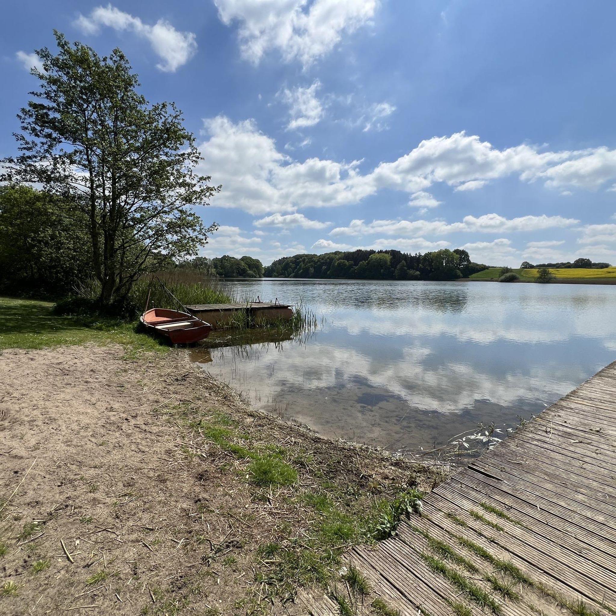
The lake was first mentioned in a document in 1075 in a description of the Limes Saxoniae by Adam of Bremen. The village was first mentioned in 1347, when the knight Nikolaus Splyth pledged his estate, including the village of Stocksee, to Reinfeld Monastery. From 1640 to 1649, Stocksee was owned by the noble Brockdorff family. In 1649, Duke Joachim Ernst (Schleswig-Holstein-Sonderburg-Plön), the first Duke of the Duchy of Schleswig-Holstein-Sonderburg-Plön, acquired Stocksee.[6]
6
0
On October 1, 1937, the municipality of Stocksee was merged with the neighboring village of Damsdorf under the name Stocksee. In 1948, the municipal council decided to separate the municipalities again, and this decision was implemented on March 31, 1951.[8][9] In the 1980s, divers found a roughly 700-year-old dugout canoe in the lake, indicating a longer settlement history in the village.
6
0
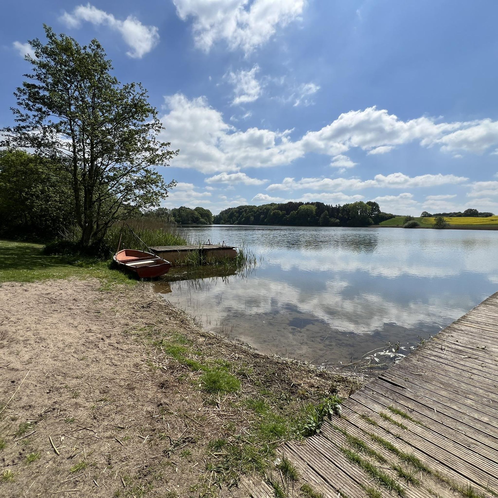
Today's lake fills a deeply incised glacial tongue basin from the Weichselian glaciation. This basin was formed by the advance of various glaciers, which carved out large basins in the soft soil and deposited the material laterally. This formation resulted in the lake's shores being relatively steep, and the reed beds along the shores are relatively narrow. The lake contains three islands (Großrethberg, Kleine Insel, and Lange Insel) and a peninsula, which, like the shoreline, are predominantly covered in alder swamp forests. In higher elevations, these wetland forests transition into extensively managed beech forests.
7
0
ニームスでのの人気観光スポット

komootモバイルアプリでインスピレーションを得よう


さらに探索
他の地域の最高のグラベルライドを見てみましょう。
