オーバーライヒタースバッハでののおすすめグラベルライド
4.9
(21)
89
ライダー
19
ライド
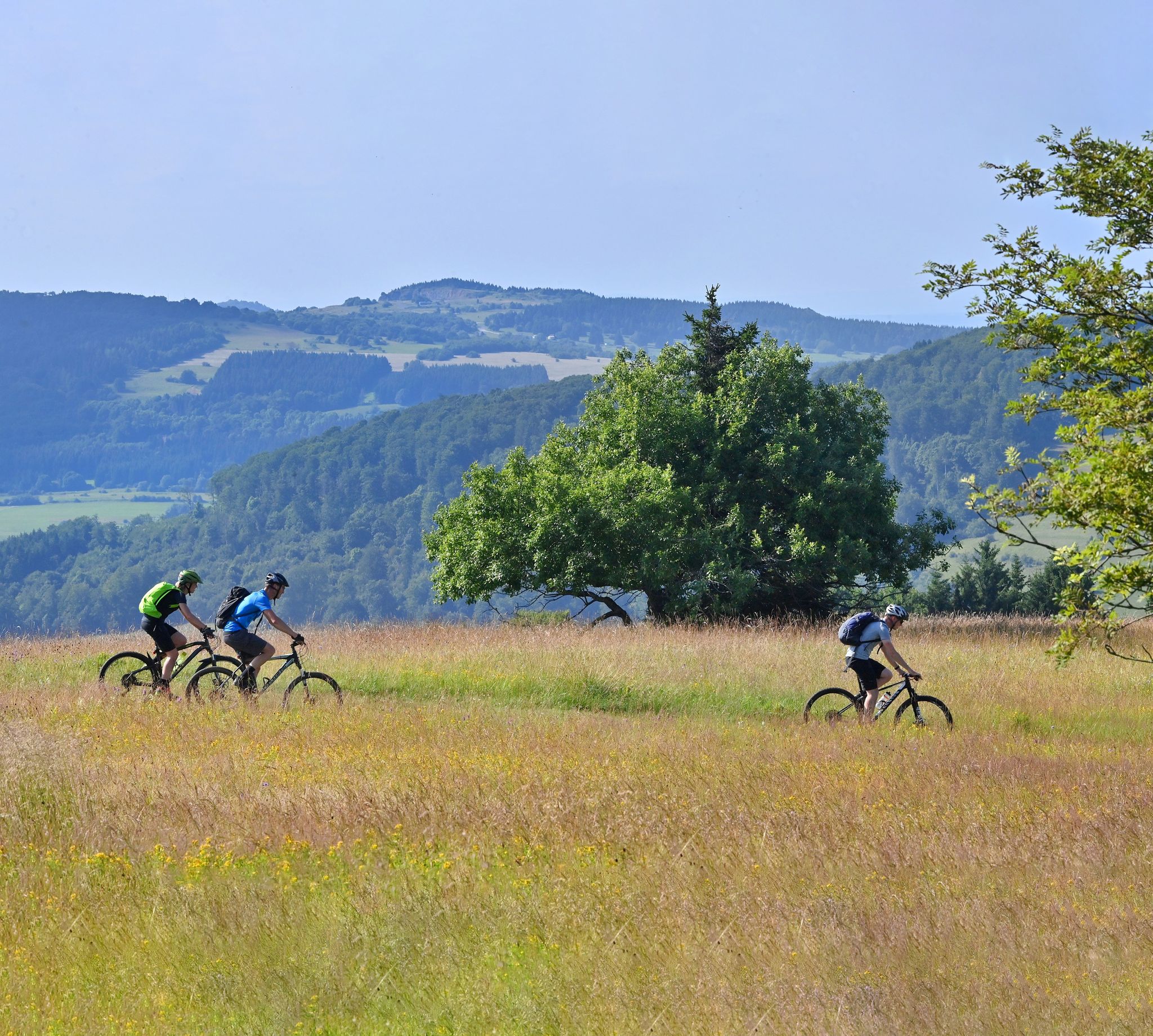
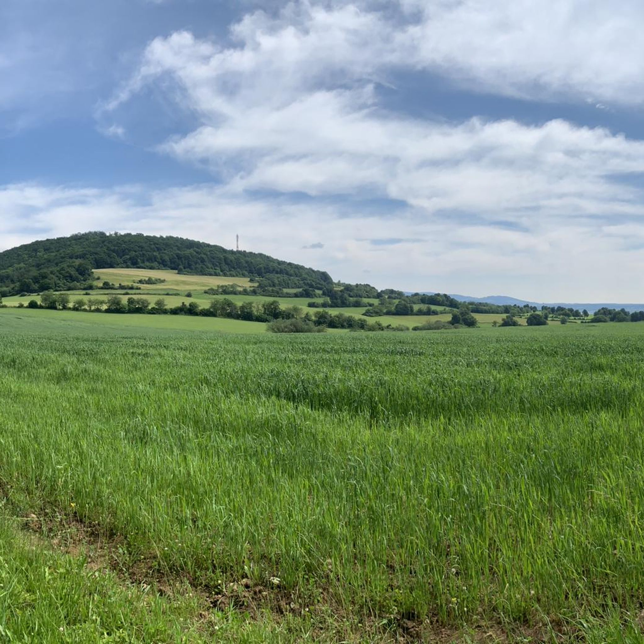
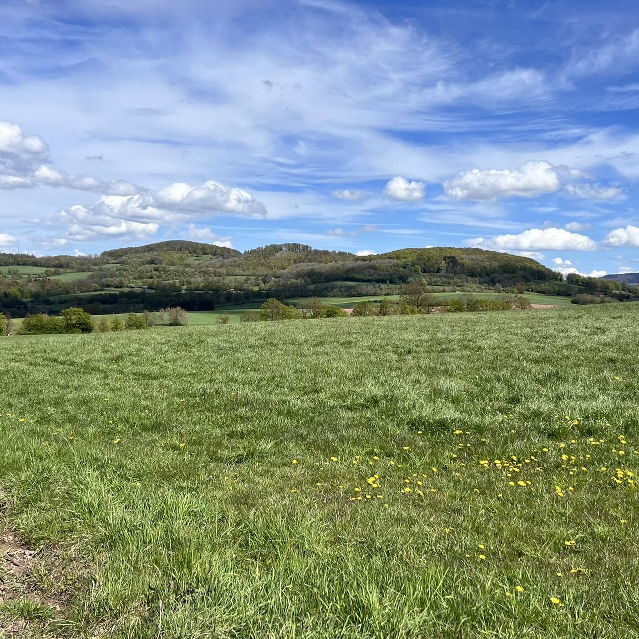
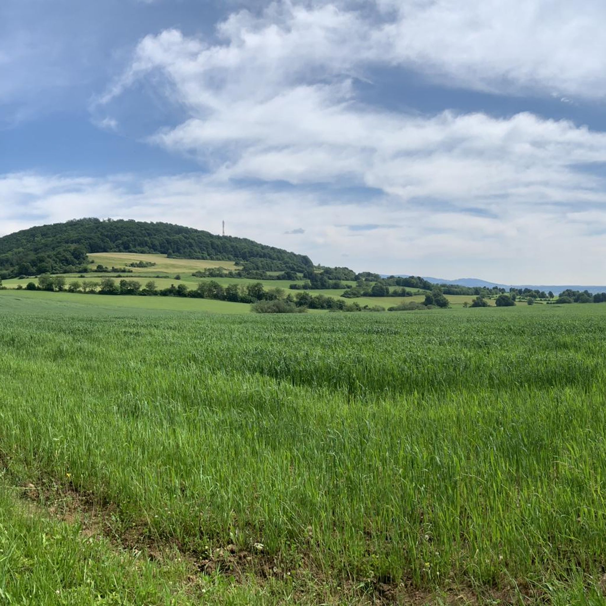
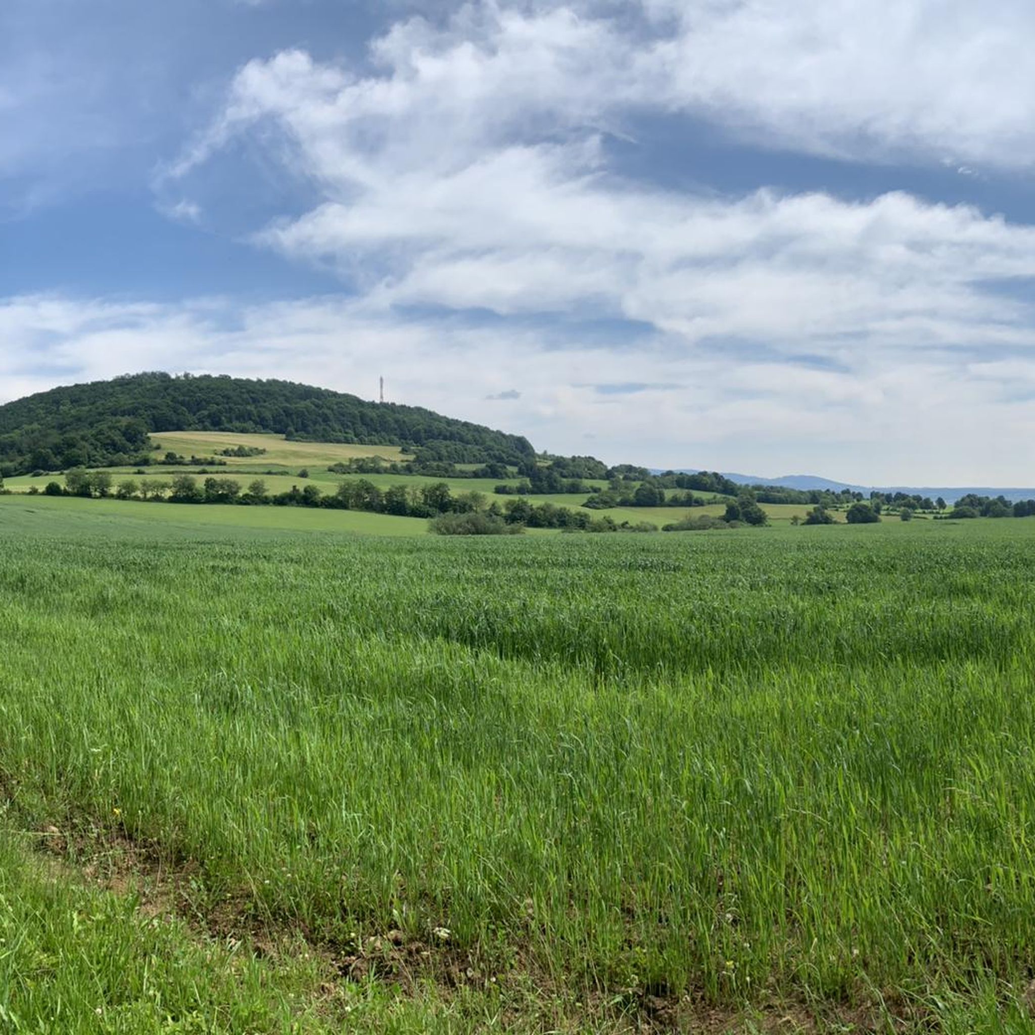
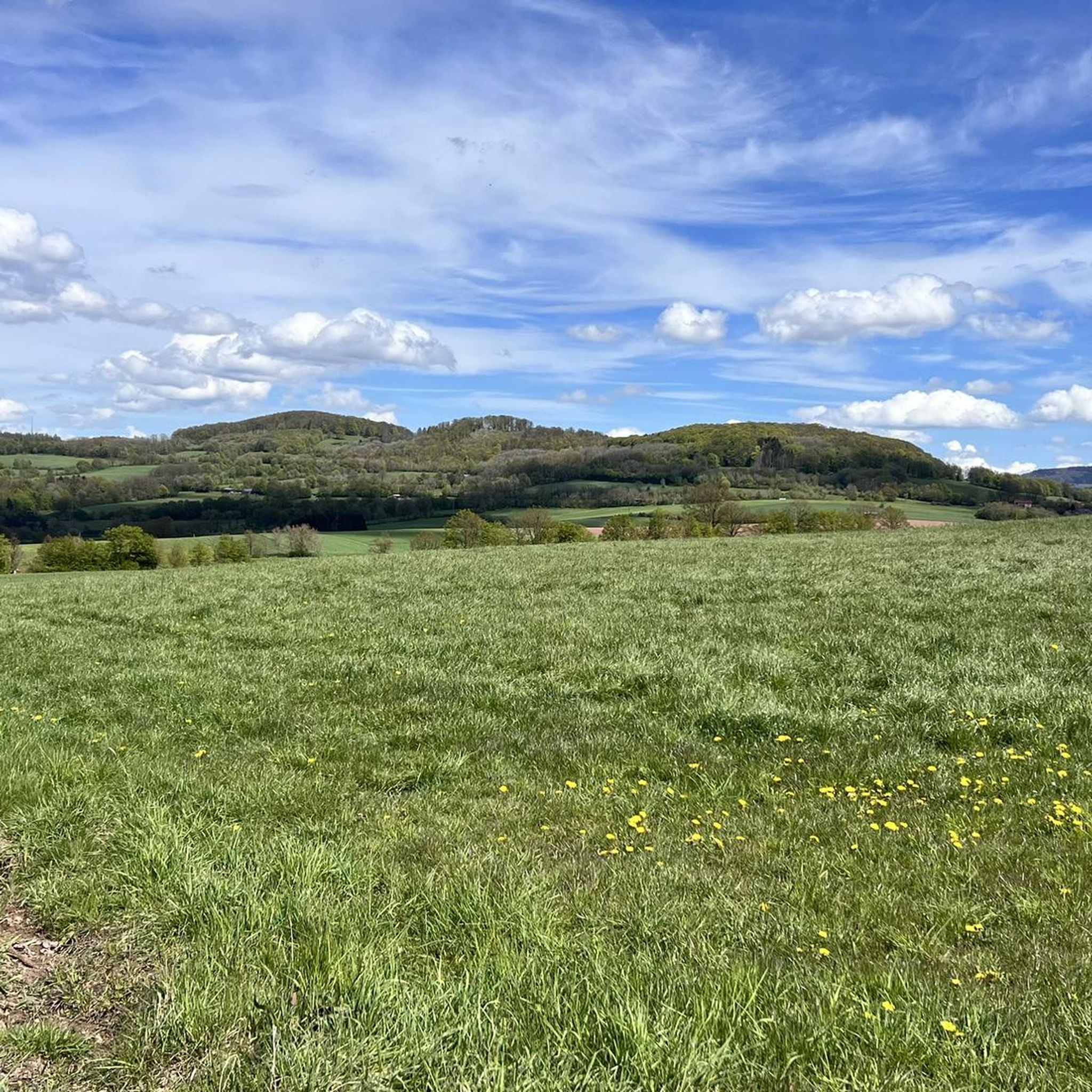
オーバーライヒターシュバッハ周辺のグラベルバイクライディングは、バイエルン・レーン自然公園内で多様な地形を提供します。この地域は、起伏のある丘、深い森、景色の良い川沿いの谷が特徴で、サイクリングに変化に富んだ背景を提供します。火山活動に起源を持つ低山地帯であるレーンに位置し、挑戦的な登りとやりがいのある下りの両方を含みます。舗装路と未舗装路が混在する景観はグラベルバイクに適しており、ジン川が地域を蛇行しています。
オーバーライヒターシュバッハ周辺のベストグラベルバイクコース
- 最も人気のあるグラベルバイクコースは、クロイツベルクの頂上からゲミュンデン・ヒュッテへのループ(リーデンベルク発)からの眺めで、距離は21.5マイル(34.7km)、所要時間は2時間26分です。この難易度の高いルートは、着実な登りが特徴で、クロイツベルクの頂上からの眺めを楽しめます。
- 地元のグラベルバイカーに人気のもう一つのコースは、ザーレ自転車道 – バート・キッシンゲン・ローズガーデンへのループ(ヴァルトフェンステラー・フォレスト発)で、距離は27.4マイル(44.2km)の難易度の高いパスです。このルートは、ザーレ自転車道周辺の多様な景観を探索します。
- 地元のグラベルバイカーに愛されているのは、オーバーエールタール近くの巨大なベンチ – トゥルバ自転車道へのループ(ヴァルトフェンステラー・フォレスト発)で、距離は32.9マイル(52.9km)です。このルートは森を抜け、トゥルバ自転車道に沿って走り、通常約3時間45分で完了します。
- オーバーライヒターシュバッハ周辺のグラベルバイクライディングは、起伏のある丘、深い森、景色の良い川沿いの谷が特徴です。このネットワークは、中程度と高難易度の両方のレベルのオプションを提供します。
- オーバーライヒターシュバッハのルートは、komootコミュニティから6件以上のレビューで平均5.0つ星の高評価を得ています。40人以上のグラベルバイカーがkomootを使用して、オーバーライヒターシュバッハの多様な地形を探索しました。
最終更新日: 11月 2, 2026
4.7
(3)
14
ライダー
34.7km
02:26
740m
750m
難しいグラベルライド. 標準以上のフィットネスレベルが必要です。 ほとんどが舗装路です。
4.7
(3)
16
ライダー
44.4km
02:36
490m
490m
難しいグラベルライド. 標準以上のフィットネスレベルが必要です。 ツアーの一部で自転車を押して歩く必要があるかもしれません。

6
ライダー
52.6km
03:44
760m
770m
難しいグラベルライド. 標準以上のフィットネスレベルが必要です。 ほとんどが舗装路です。
5.0
(1)
7
ライダー
33.0km
02:12
610m
610m
難しいグラベルライド. 標準以上のフィットネスレベルが必要です。 ツアーの一部で自転車を押して歩く必要があるかもしれません。
5.0
(2)
5
ライダー
50.5km
03:24
980m
980m
難しいグラベルライド. 標準以上のフィットネスレベルが必要です。 ツアーの一部で自転車を押して歩く必要があるかもしれません。
さらに多くのルートや他のユーザーのおすすめ情報を確認できます。
すでにアカウントをお持ちですか?
おすすめのツアーは他のkomootユーザーが実際に経験した何千ものアクティビティに基づいています。
無料アカウントで今日から始めよう
次の冒険が待っています。
オーバーライヒタースバッハでのの他の冒険

コミュニティからのヒント

道の興味深い区間です。ここで、私たちが森を心地よい思いで散策できるようにしてくれた人々が自分自身を不滅にしたのだと推測します。彼らに感謝します。
0
0


アールンズベルクは、バイエルン・レーンのクロイツベルクの北西に位置しています。標高842メートルの印象的で遠くまで見える山で、ホーエ・レーンの自然地域に属しています。
1
0

森の中(日陰)で最大20%の急な坂。特に下部と上部が急で、少し不規則です。
0
0

アシャハタールに美しく位置しています。かつては堰がありました。短い休憩に最適です。
0
0
橋を使うか、あるいは勇敢なあなたたちは水の中を走ってください。ここはきれいで楽しいです
0
0


The Kinzig is a river approximately 86 kilometers long. It rises in Sterbfritz, flows southwest through the Main-Kinzig district of Hesse, and flows into the Main from the right in Hanau. The Kinzig is a second-order river in low mountain ranges. It overcomes an elevation of 301 meters and has a bed gradient of 3.5 per thousand. The Kinzig's catchment area covers 1,058 square kilometers, and the calculated mean discharge (MQ) at the mouth of the Kinzig is 10.97 cubic meters per second. The Kinzig was first documented in 796 as "iuxta fluvium Kincihen." In 815, the name was written as "Chinzicha," around 900 as "Kincicha"/"Kinzicham," in 1364 as "Kinzige," in 1584 as "Kintzig," in 1607 as "Bintz," in 1681 as "Kintz," in 1716 as "Kins," in 1769 as "Kinzing," and in 1802 as "Kinzig." In the river's headwaters, there was the now-defunct village of Kinzig, mentioned in 815 as "Chirizichheimero." The village and river were often confused by monastery scribes at that time with "Chizzicha" (now Bad Kissingen), both of which were described as being located in the Saalegau. The name presumably derives from the ancient Celtic *ku̯anti̯o- meaning "flat hill, valley." The name was therefore derived from the mountainous region from which the Kinzig flows. Source: Wikipedia
1
0
オーバーライヒタースバッハでのの人気観光スポット

komootモバイルアプリでインスピレーションを得よう


さらに探索
他の地域の最高のグラベルライドを見てみましょう。
