オッタング・アム・ハウサックでののおすすめグラベルライド
4.7
(9)
56
ライダー
13
ライド
Gravel biking around Ottnang am Hausruck offers a diverse landscape characterized by river valleys, lake views, and rolling hills. The region features routes that traverse along waterways like the Ager River and offer glimpses of larger lakes such as Traunsee and Attersee. Elevation changes are present, with several trails leading to viewpoints like Alpenblick and Lederkopf, providing varied terrain for gravel cyclists. The area combines open sections with forested paths, suitable for different gravel biking experiences.
Best gravel bike trails…
最終更新日: 8月 12, 2026
3
ライダー
45.0km
03:13
790m
790m
難しいグラベルライド. 標準以上のフィットネスレベルが必要です。 全般的に舗装された状態です。あらゆるスキルレベルに適しています。
5
ライダー
34.9km
02:40
580m
580m
難しいグラベルライド. 標準以上のフィットネスレベルが必要です。 ツアーの一部で自転車を押して歩く必要があるかもしれません。

無料新規登録
5.0
(1)
3
ライダー
58.0km
03:55
730m
730m
難しいグラベルライド. 標準以上のフィットネスレベルが必要です。 全般的に舗装された状態です。あらゆるスキルレベルに適しています。
3
ライダー
31.7km
02:16
470m
470m
難しいグラベルライド. 標準以上のフィットネスレベルが必要です。 ツアーの一部で自転車を押して歩く必要があるかもしれません。
5.0
(1)
3
ライダー
25.3km
01:50
470m
470m
難しいグラベルライド. 標準以上のフィットネスレベルが必要です。 全般的に舗装された状態です。あらゆるスキルレベルに適しています。
さらに多くのルートや他のユーザーのおすすめ情報を確認できます。
無料新規登録
すでにアカウントをお持ちですか?
おすすめのツアーは他のkomootユーザーが実際に経験した何千ものアクティビティに基づいています。
無料アカウントで今日から始めよう
次の冒険が待っています。
ログインまたは登録
コミュニティからのヒント


The Haager Lies Cycle Path is an impressive cycling and walking path in Austria that runs along a former railway line. Here are some interesting facts about this cycle path: 1. Route Length: - The cycle path stretches over 22 km and offers a scenic route through the region. 2. Start and End Points: - The route begins in Neukirchen bei Lambach and continues to Haag am Hausruck. 3. Difficulty: - The cycle path is considered difficult because it may contain sections with loose ground that are difficult to navigate. A good level of fitness is required. 4. Elevation Gains: - The tour includes up to 450 meters of elevation gain, making it a challenging but rewarding experience. 5. Nature Experience: - The cycle path leads through a beautiful landscape characterized by forests, meadows, and picturesque views. 6. **Duration**: - The average cycling time is approximately **1 hour and 35 minutes**, depending on individual fitness and breaks. The Hague Lies Cycle Route is therefore an ideal destination for cyclists and nature lovers who want to enjoy the beauty of nature.
0
0
The "Klangstamm" (sound trunk) is a wooden sound box that you can walk inside. It was designed by the artists Josef Bücheler and Markus Leuthe. On the outside are various elements that can be used as musical instruments, including a series of sound bars and violin cases with trumpets.
1
0

The view is currently obscured by trees. Nevertheless, there are beautiful spots along the way to enjoy the panoramic view.
1
0

Schörfling, Seewalchen, Weyregg, and also Vöcklabruck are familiar towns and communities on Lake Attersee. I've been coming here regularly for decades. I'd love to do a circumnavigation of Lake Attersee on an e-bike, but unfortunately, I haven't gotten around to it yet. I think it's probably about 50 kilometers. Greetings from a German. 🙋😉👍👏
0
1

It makes a very good impression. However, it was closed on Tuesday.
0
0

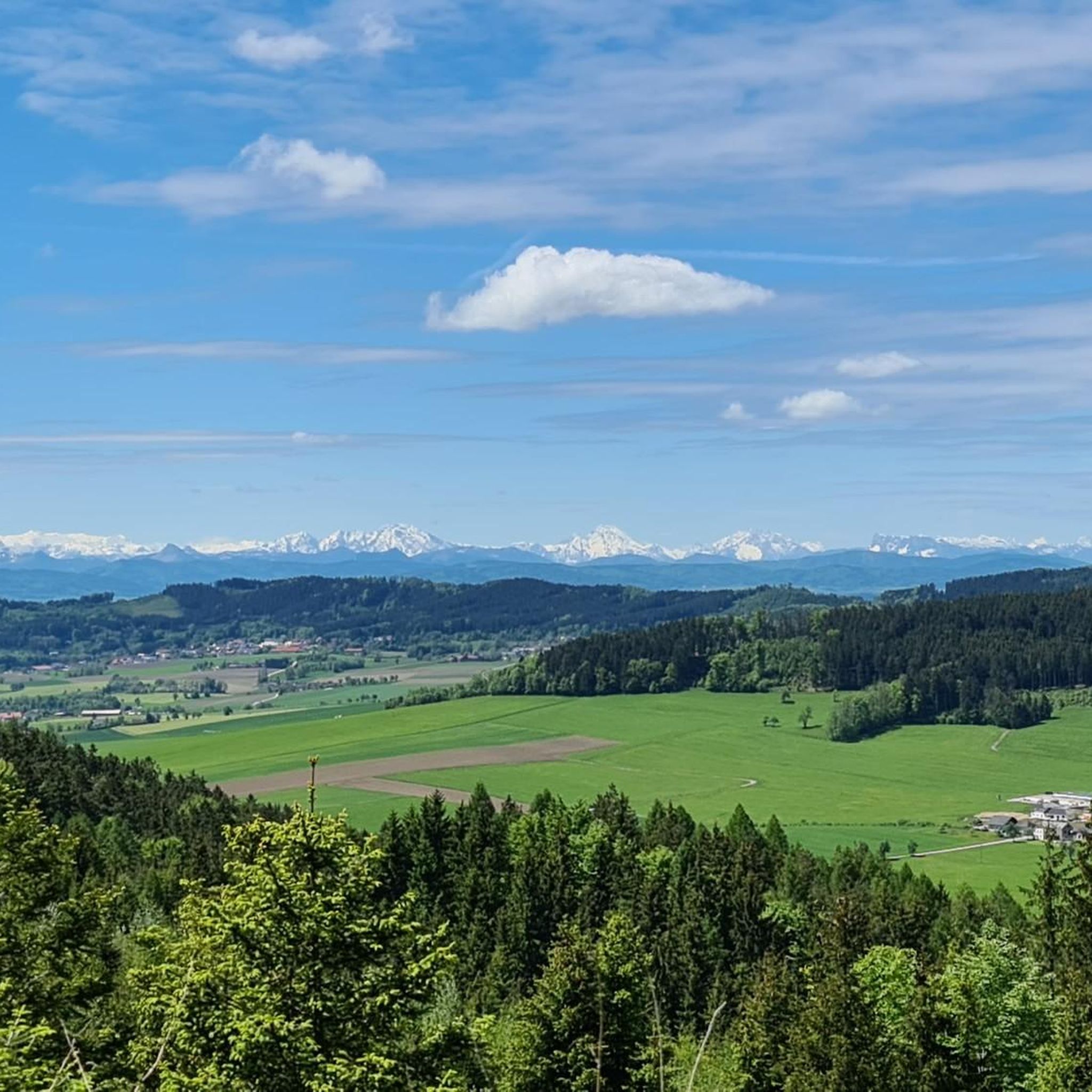
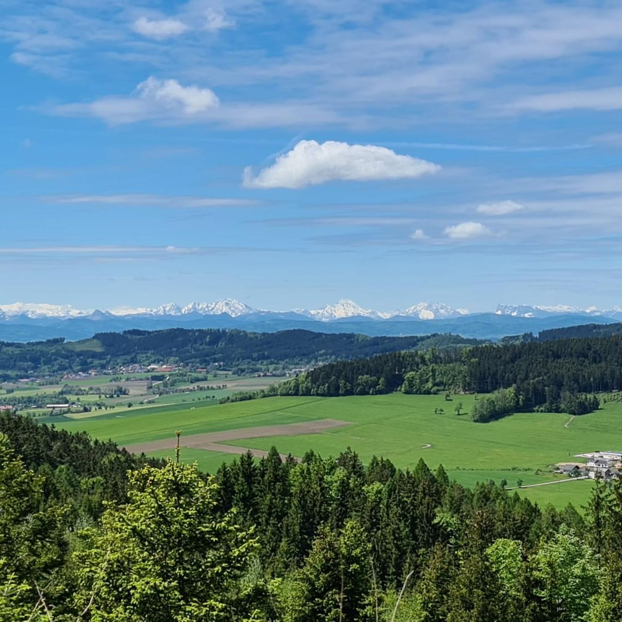
Views to the south include Traunstein and Priel, and to the north, to the Sauwald forest and the Altschwendt wind farm above Zell/Riedau. Just before that, a beautiful overview of the village in the valley and on the slopes.
0
0
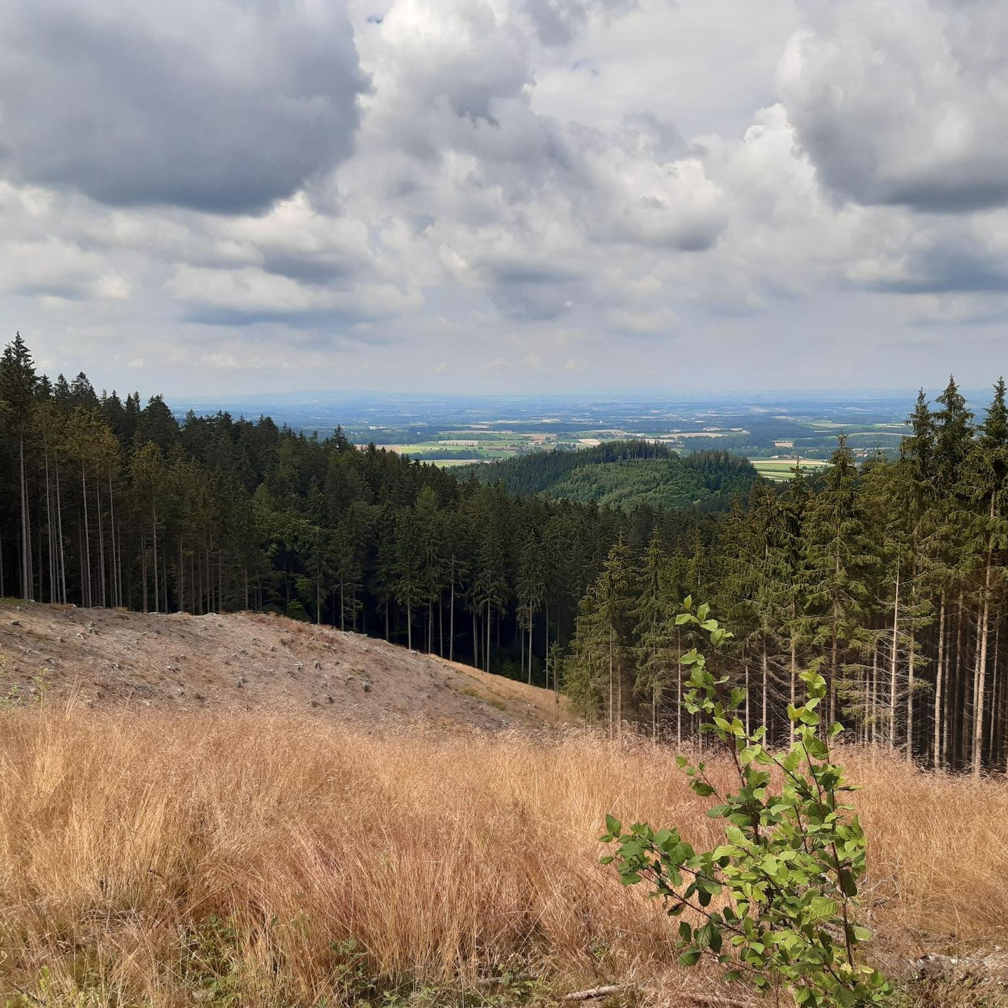
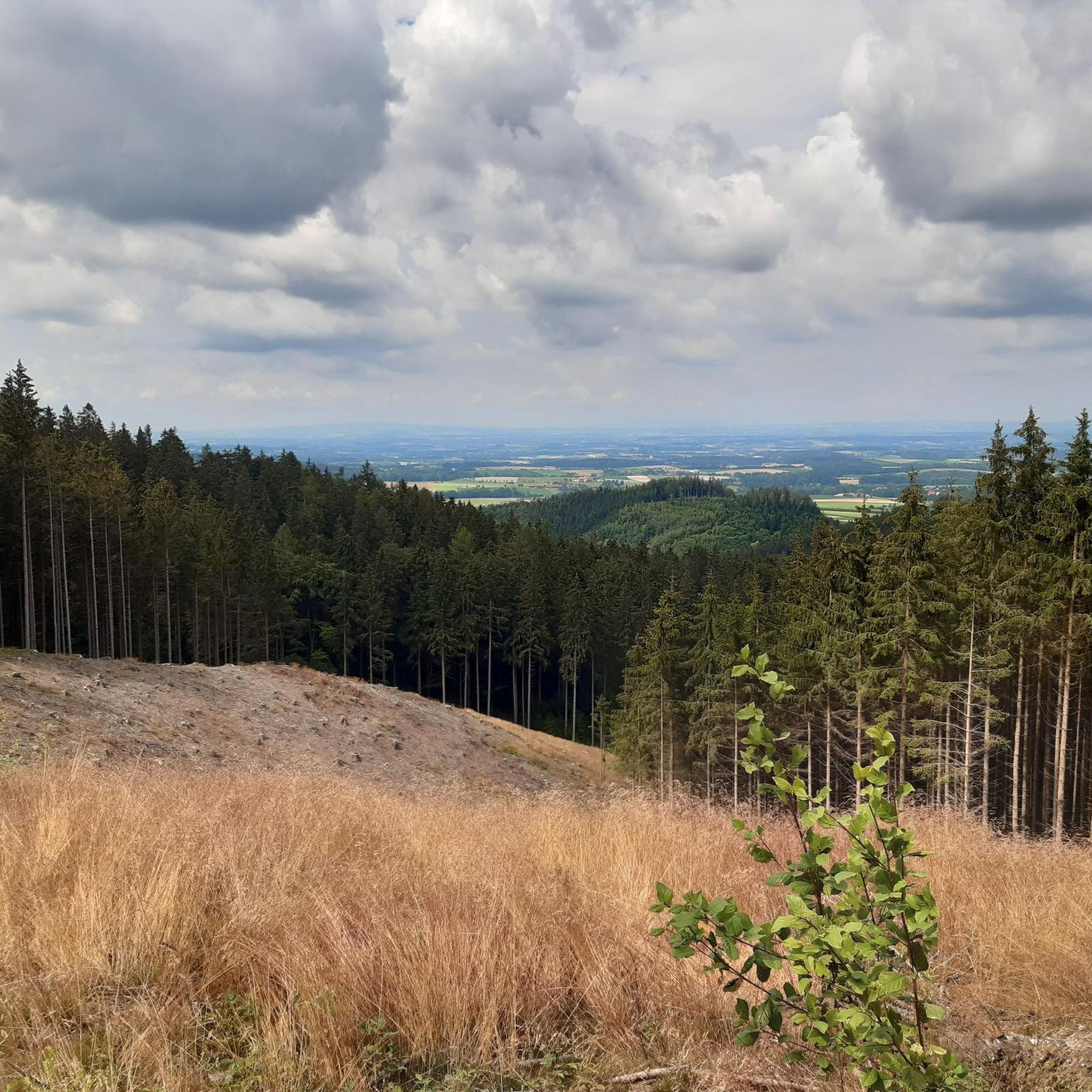
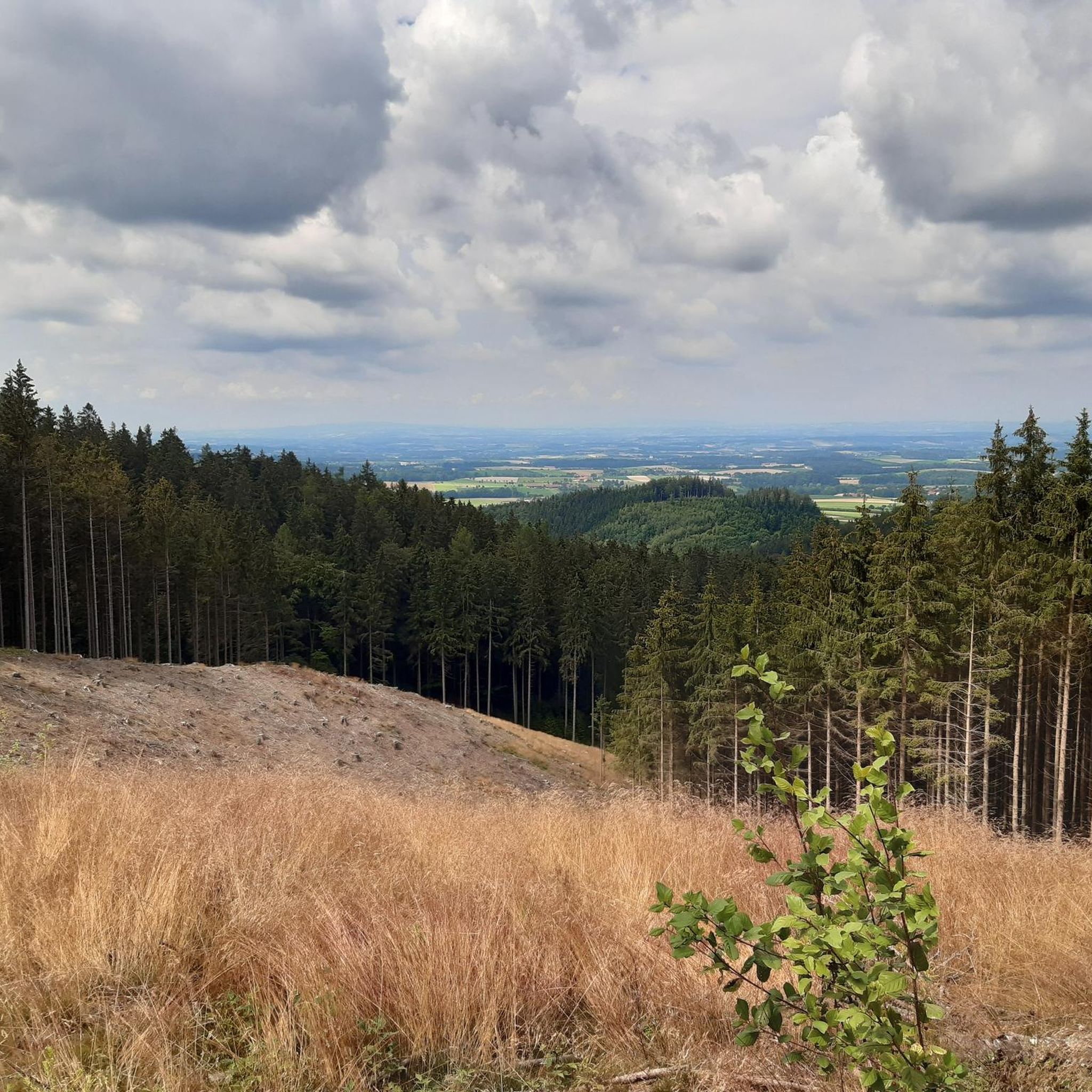
A wonderful view over the "Pramtal" to the Sauwald in the north
0
0
オッタング・アム・ハウサックでのの人気観光スポット

komootモバイルアプリでインスピレーションを得よう


さらに探索
他の地域の最高のグラベルライドを見てみましょう。
