ストロハイムでののおすすめグラベルライド
4.3
(9)
103
ライダー
10
ライド
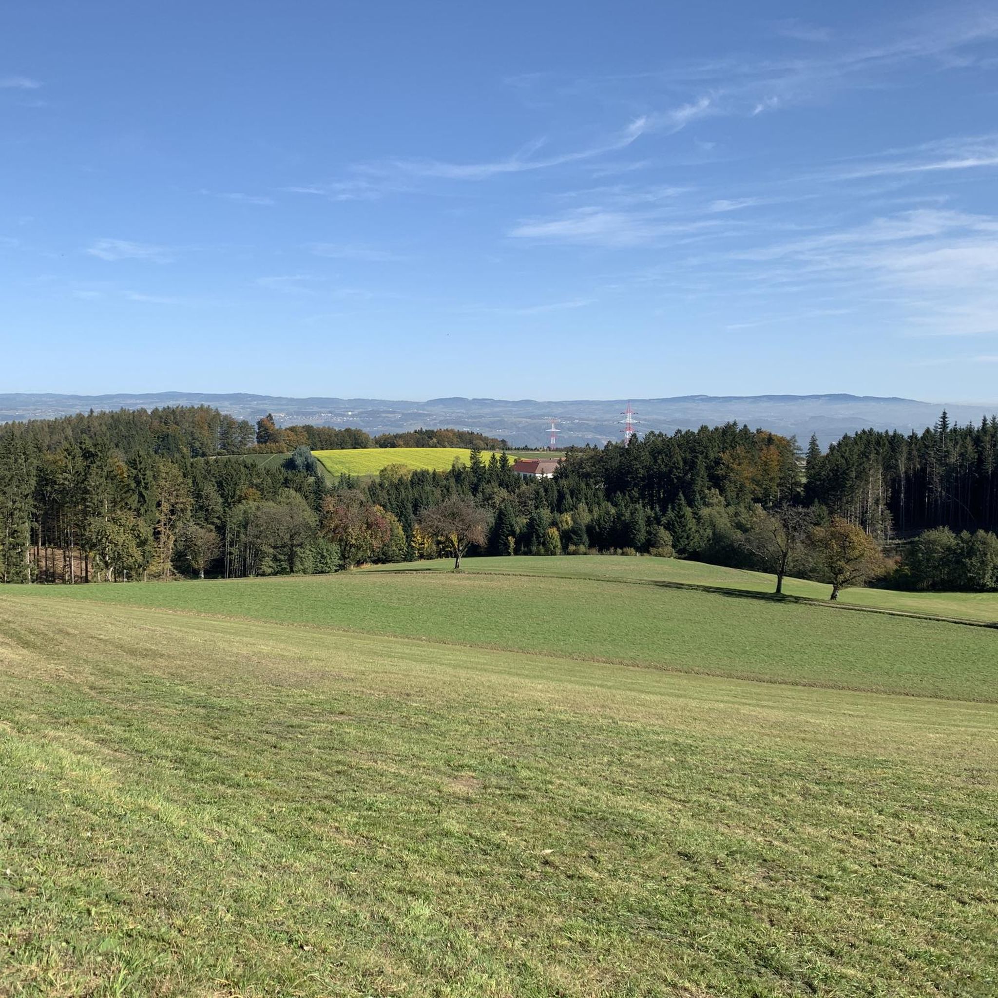
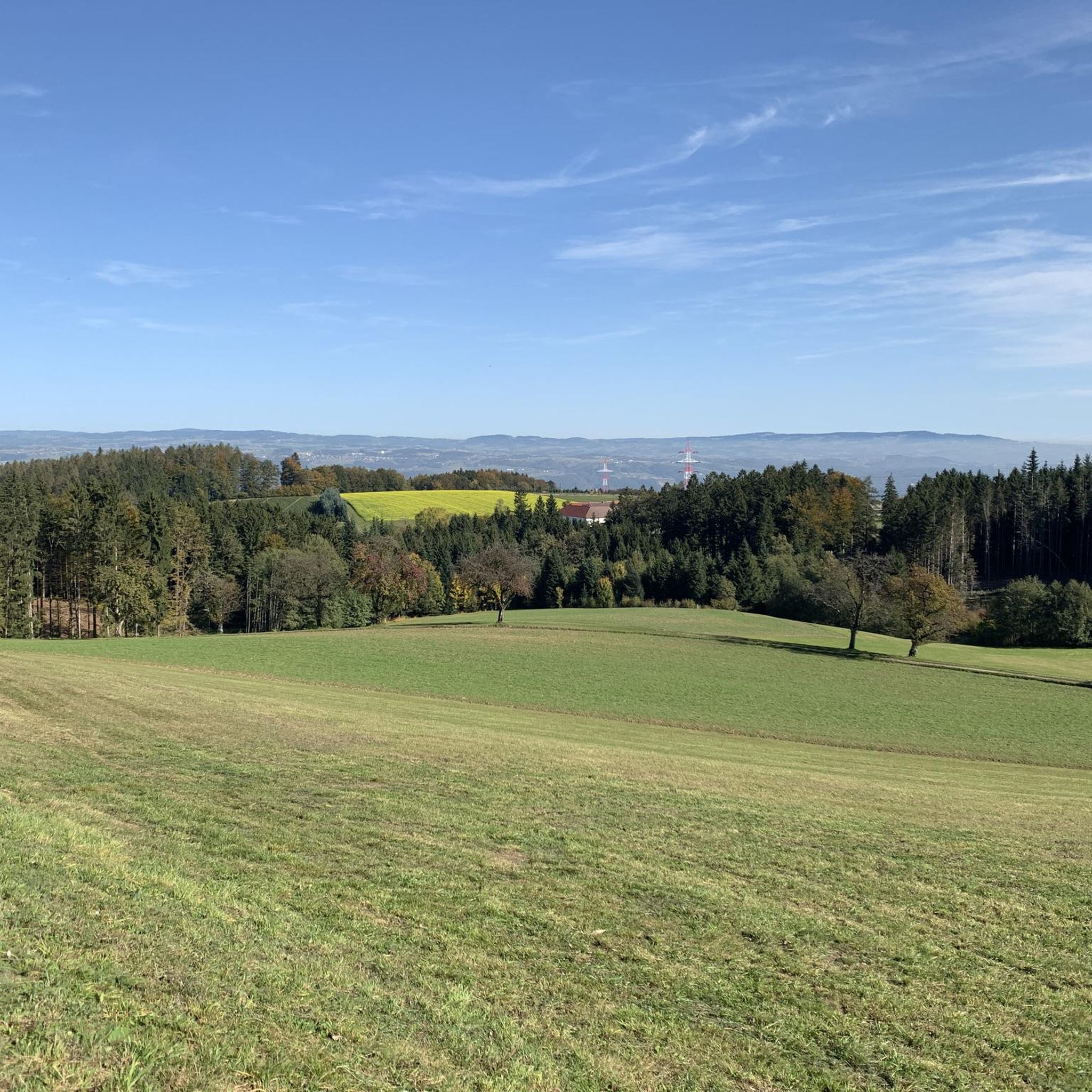
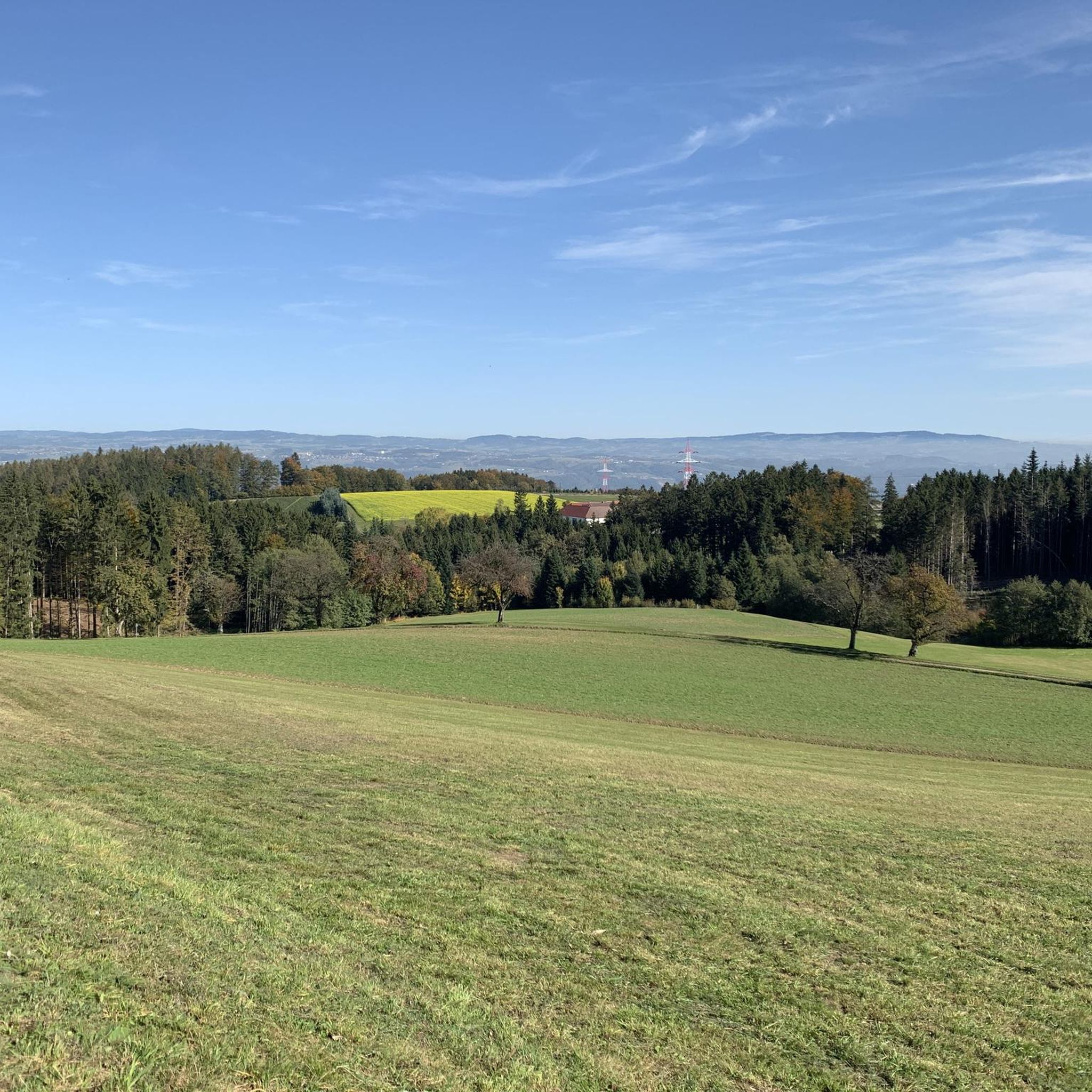
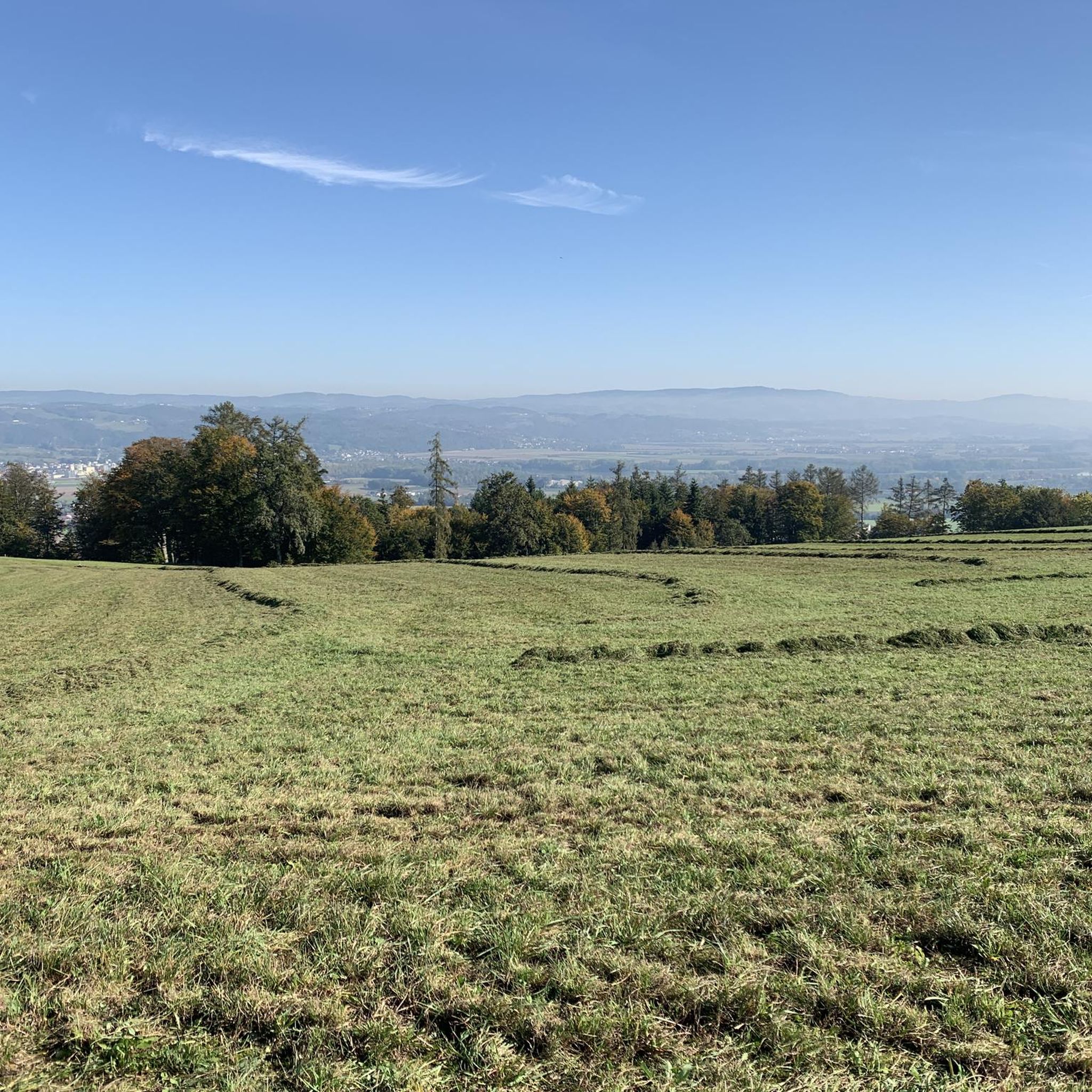
Gravel biking around Stroheim features routes that traverse the Danube riverbanks and explore the surrounding rolling terrain. The region is characterized by a mix of open landscapes, forested sections, and paths near local lakes within the Eferding Basin. Elevation gains on some routes indicate varied topography, offering both flatter sections and more challenging climbs. Approximately 29% of the municipality is forested, and 63% is agricultural land, contributing to diverse scenery.
Best gravel bike trails around Stroheim
- The most popular gravel…
最終更新日: 8月 26, 2026
4.5
(8)
82
ライダー
43.1km
02:19
100m
100m
難しいグラベルライド. ある程度のフィットネスレベルが必要です。 ツアーの一部で自転車を押して歩く必要があるかもしれません。
3
ライダー
30.3km
02:07
510m
510m
難しいグラベルライド. 標準以上のフィットネスレベルが必要です。 ツアーの一部で自転車を押して歩く必要があるかもしれません。

無料新規登録
4.0
(1)
5
ライダー
27.9km
01:59
440m
440m
難しいグラベルライド. ある程度のフィットネスレベルが必要です。 ツアーの一部で自転車を押して歩く必要があるかもしれません。
6
ライダー
38.0km
02:32
450m
450m
中程度のグラベルライド. ある程度のフィットネスレベルが必要です。 全般的に舗装された状態です。あらゆるスキルレベルに適しています。
1
ライダー
11.3km
00:48
190m
190m
中程度のグラベルライド. ある程度のフィットネスレベルが必要です。 全般的に舗装された状態です。あらゆるスキルレベルに適しています。
さらに多くのルートや他のユーザーのおすすめ情報を確認できます。
無料新規登録
すでにアカウントをお持ちですか?
おすすめのツアーは他のkomootユーザーが実際に経験した何千ものアクティビティに基づいています。
無料アカウントで今日から始めよう
次の冒険が待っています。
ログインまたは登録
コミュニティからのヒント

ツヴェルゲンヴァルトにて。とても丁寧に作られた道です。
0
0

Pupping is a municipality with 1792 inhabitants in Upper Austria in the district of Eferding in the Hausruckviertel region.
0
0

Ottensheim-Wilhering Power Plant and Lock! This impressive facility on the Danube plays an important role in energy generation and shipping. Here are some interesting aspects: ### General Information - **Location**: The power plant and lock are located in the municipality of **Wilhering** in **Upper Austria**. - **Year of Construction**: The power plant was built from **1970 to 1975** and is a run-of-river power plant. ### Technical Features 1. **Lock**: - The lock has **two lock chambers** measuring **230 × 24 m**. - It allows ships to pass through and overcomes the height difference in the river. 2. **Power Plant**: - The power plant has an **capacity** of approximately **30 MW** and uses the current of the Danube to generate electricity. - It is part of a project with **72 million euros** being invested to ensure the lifespan and efficiency of the power plant for another **50 years**. 3. **Water level**: - The river dam length is **16 km**, and the dam target is at an altitude of approximately **250 m**. ### Significance - **Energy generation**: The power plant contributes significantly to the region's electricity supply and is an important component of renewable energy sources in Austria. - **Shipping**: The lock is a central point for inland navigation on the Danube, enabling the transport of goods and passengers. ### Summary The **Ottensheim-Wilhering power plant and lock** are not only technical masterpieces, but also crucial elements for the energy supply and shipping in the region. A visit to this facility offers exciting insights into the world of hydropower and engineering! ✨
2
0

Fastest connection between Danube north of Ottensheim - Feldkirchen and Danube south of Wilhering - Alkoven
0
0

The trail along the Donauleiten is quite nice, not particularly difficult to ride but with a precipice
3
0

CAUTION! Currently (June 2025) there is very deep gravel under the bridge near the castle on the descent from the castle to the Danube. Danger of falling!
0
0

The Mayrhofberg is adorned with a tower and a summit cross with some benches.
2
0

komootモバイルアプリでインスピレーションを得よう


さらに探索
他の地域の最高のグラベルライドを見てみましょう。
