シェーネックでののおすすめグラベルライド
4.4
(69)
429
ライダー
80
ライド
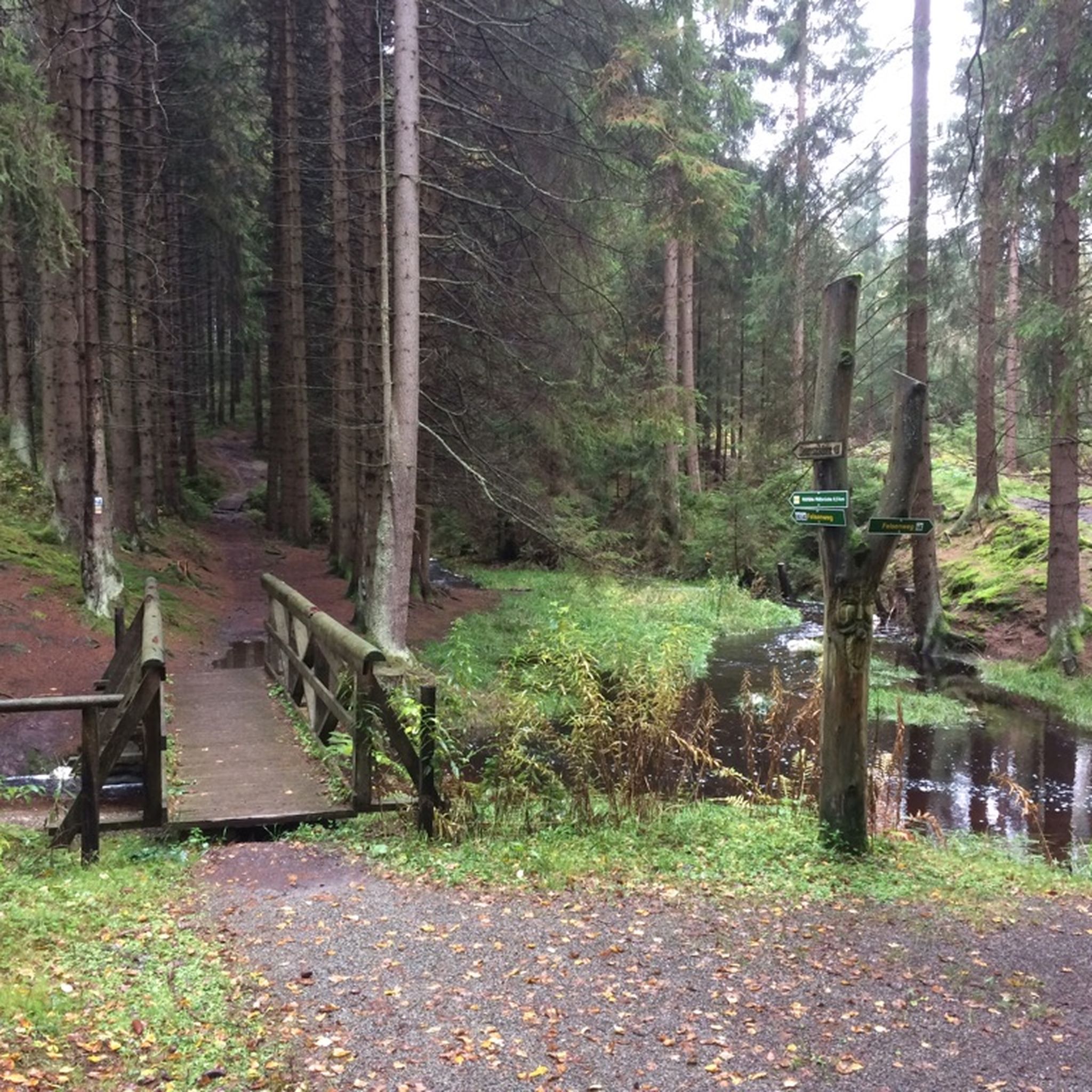
グラベルバイクでのシェーネック周辺のサイクリングは、エルツゲビルゲ/フォクトランド自然公園内で多様な地形を提供します。この地域は、森林に覆われた丘、広大な森、そして自然の川の景観を持つ低山地帯が特徴です。ルートはしばしばアスファルト、砂利道、自然の小道を組み合わせており、変化に富んだ路面とかなりの高低差を提供します。このエリアは、バイエルン州とテューリンゲン州にまたがるパノラマビューで知られており、アウトドア愛好家にとって魅力的なデスティネーションとなっています。
シェーネック周辺の最高のグラベルバイクトレイル
- 最も人気のあるグラベルバイクトレイルは、Nidda Cycle Path – Singletrack with wooden sculptures loop from Groß Karbenで、距離は40.4 km(25.1マイル)、所要時間は2時間18分です。このルートは、変化に富んだシングルトラックセクションとユニークな木製彫刻が特徴です。
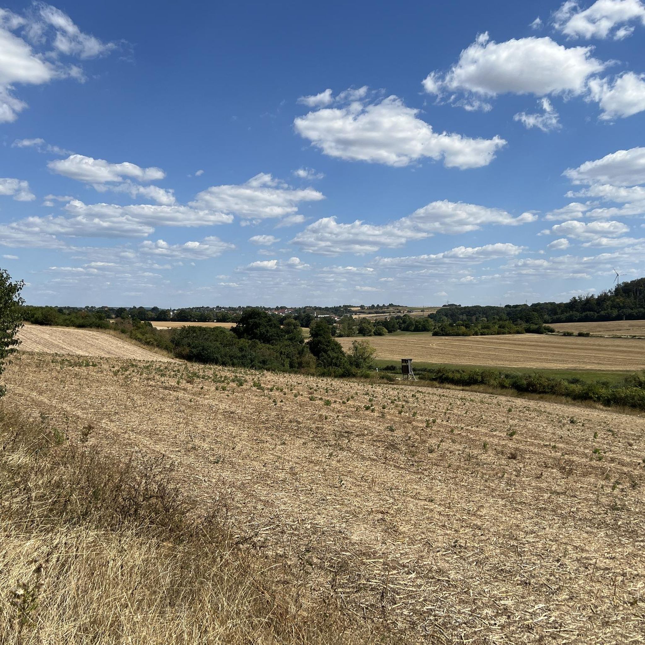
- 地元のグラベルバイカーに人気のもう一つのコースは、Sky Swing – Large bench Windecken loop from Nidderau-Windeckenで、距離は25.5 km(15.9マイル)の中級コースです。このルートは、起伏のある丘と広大な野原が特徴で、景色の良い眺めを提供します。
- 地元のグラベルバイカーに愛されているのは、Barbarossa Spring – Trail Along the Kinzig loop from Maintal Ostで、距離は63.1 km(39.2マイル)で、自然の川の景観を通り抜け、所要時間は約3時間46分です。
- シェーネック周辺のグラベルバイクは、森林に覆われた丘、自然の川の景観、そしてアスファルト、砂利道、自然の小道を組み合わせた変化に富んだルートによって特徴づけられます。広範なネットワークは、中級から上級まで、さまざまなレベルのライダーに対応するオプションを提供します。
- シェーネックのルートは、komootコミュニティから高く評価されており、55件以上のレビューで平均4.4つ星を獲得しています。400人以上のグラベルバイカーがkomootを利用して、シェーネックの多様な地形を探検しています。
最終更新日: 8月 27, 2026
4.3
(4)
18
ライダー
51.6km
02:53
160m
160m
難しいグラベルライド. ある程度のフィットネスレベルが必要です。 ツアーの一部で自転車を押して歩く必要があるかもしれません。
5.0
(2)
11
ライダー
60.3km
03:36
340m
340m
難しいグラベルライド. ある程度のフィットネスレベルが必要です。 ツアーの一部で自転車を押して歩く必要があるかもしれません。

無料新規登録
5.0
(1)
11
ライダー
40.5km
02:19
430m
430m
難しいグラベルライド. ある程度のフィットネスレベルが必要です。 ツアーの一部で自転車を押して歩く必要があるかもしれません。
5.0
(2)
12
ライダー
25.5km
01:20
220m
220m
中程度のグラベルライド. ある程度のフィットネスレベルが必要です。 全般的に舗装された状態です。あらゆるスキルレベルに適しています。
3.0
(2)
9
ライダー
63.1km
03:47
410m
410m
難しいグラベルライド. ある程度のフィットネスレベルが必要です。 ツアーの一部で自転車を押して歩く必要があるかもしれません。
さらに多くのルートや他のユーザーのおすすめ情報を確認できます。
無料新規登録
すでにアカウントをお持ちですか?
おすすめのツアーは他のkomootユーザーが実際に経験した何千ものアクティビティに基づいています。
無料アカウントで今日から始めよう
次の冒険が待っています。
ログインまたは登録
コミュニティからのヒント


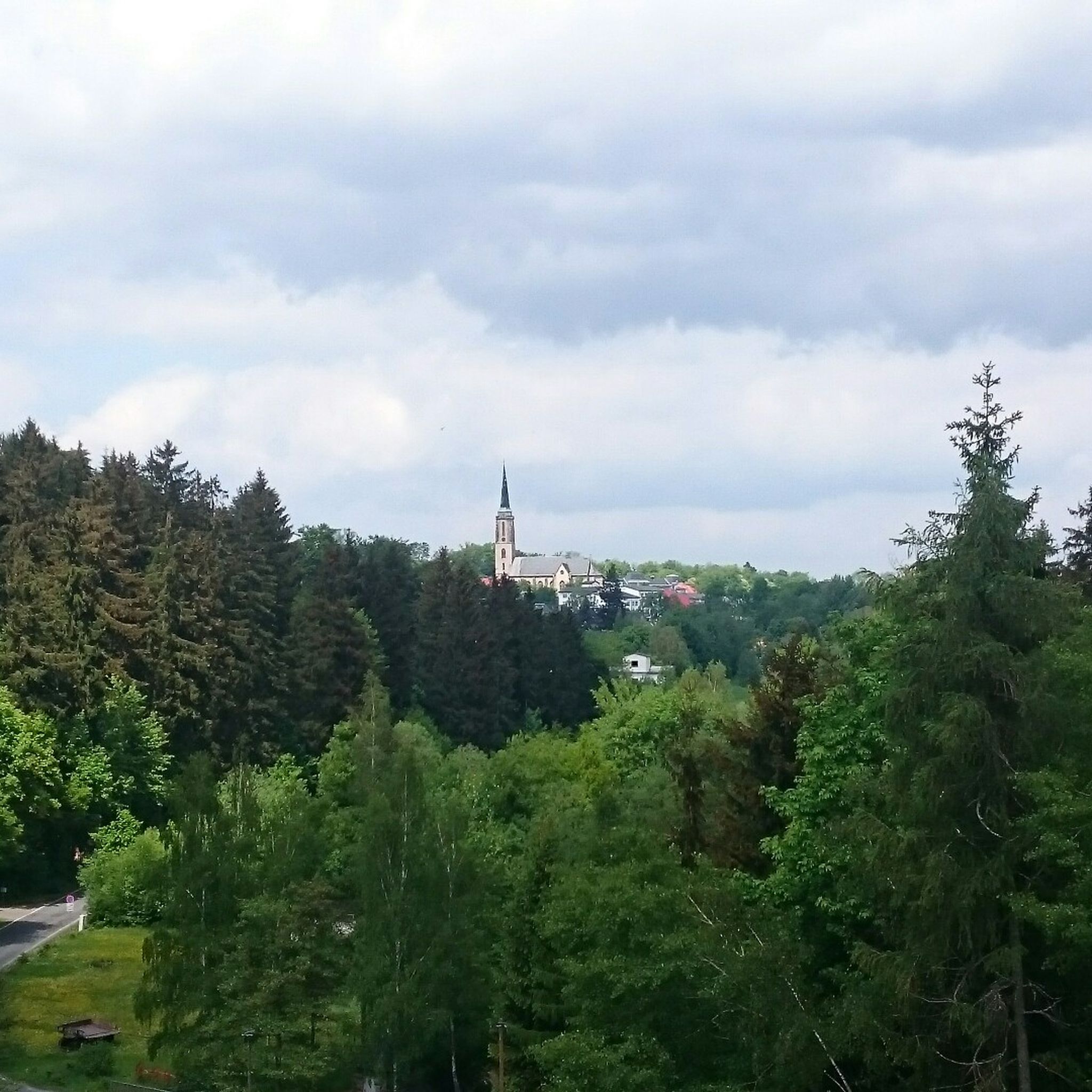
以前は、この建物に何の意味があるのか疑問に思っていました。
1
0

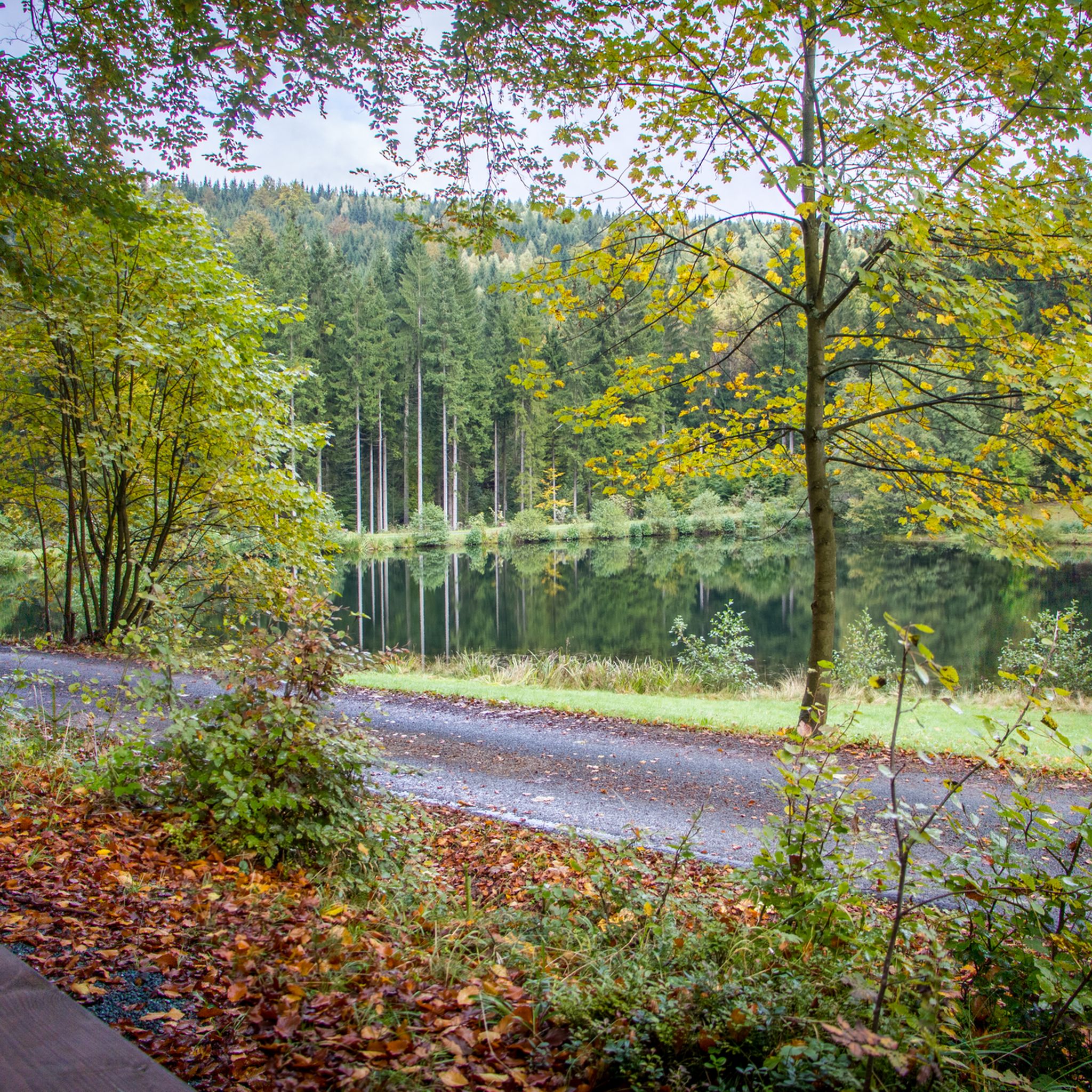
Beautiful path along the Kinzig river.
0
0

It's always lovely to cycle along the Kahl river.
0
0

From here on, the riverside path on the right bank of the Kinzig is wildly romantic and beautiful.
0
0


The Kinzig is a river approximately 86 kilometers long. It rises in Sterbfritz, flows southwest through the Main-Kinzig district of Hesse, and flows into the Main from the right in Hanau. The Kinzig is a second-order river in low mountain ranges. It overcomes an elevation of 301 meters and has a bed gradient of 3.5 per thousand. The Kinzig's catchment area covers 1,058 square kilometers, and the calculated mean discharge (MQ) at the mouth of the Kinzig is 10.97 cubic meters per second. The Kinzig was first documented in 796 as "iuxta fluvium Kincihen." In 815, the name was written as "Chinzicha," around 900 as "Kincicha"/"Kinzicham," in 1364 as "Kinzige," in 1584 as "Kintzig," in 1607 as "Bintz," in 1681 as "Kintz," in 1716 as "Kins," in 1769 as "Kinzing," and in 1802 as "Kinzig." In the river's headwaters, there was the now-defunct village of Kinzig, mentioned in 815 as "Chirizichheimero." The village and river were often confused by monastery scribes at that time with "Chizzicha" (now Bad Kissingen), both of which were described as being located in the Saalegau. The name presumably derives from the ancient Celtic *ku̯anti̯o- meaning "flat hill, valley." The name was therefore derived from the mountainous region from which the Kinzig flows. Source: Wikipedia
1
1
The Kinzig is a river approximately 86 kilometers long. It rises in Sterbfritz, flows southwest through the Main-Kinzig district of Hesse, and flows into the Main from the right in Hanau. The Kinzig is a second-order river in low mountain ranges. It overcomes an elevation of 301 meters and has a bed gradient of 3.5 per thousand. The Kinzig's catchment area covers 1,058 square kilometers, and the calculated mean discharge (MQ) at the mouth of the Kinzig is 10.97 cubic meters per second. The Kinzig was first documented in 796 as "iuxta fluvium Kincihen." In 815, the name was written as "Chinzicha," around 900 as "Kincicha"/"Kinzicham," in 1364 as "Kinzige," in 1584 as "Kintzig," in 1607 as "Bintz," in 1681 as "Kintz," in 1716 as "Kins," in 1769 as "Kinzing," and in 1802 as "Kinzig." In the river's headwaters, there was the now-defunct village of Kinzig, mentioned in 815 as "Chirizichheimero." The village and river were often confused by monastery scribes at that time with "Chizzicha" (now Bad Kissingen), both of which were described as being located in the Saalegau. The name presumably derives from the ancient Celtic *ku̯anti̯o- meaning "flat hill, valley." The name was therefore derived from the mountainous region from which the Kinzig flows. Source: Wikipedia
1
0
シェーネックでのの人気観光スポット

komootモバイルアプリでインスピレーションを得よう


さらに探索
他の地域の最高のグラベルライドを見てみましょう。
