ルート

プランナー

機能

アップデート

App

ログインまたはサインアップ

アプリを入手

ログインまたはサインアップ

ルート
グラベルライド
ドイツ
ザクセンアンハルト
ハルツ山地

ヴェルニゲローデ

ヴェルニゲローデでののおすすめグラベルライド

4.6

(93)

519

ライダー

65

ライド

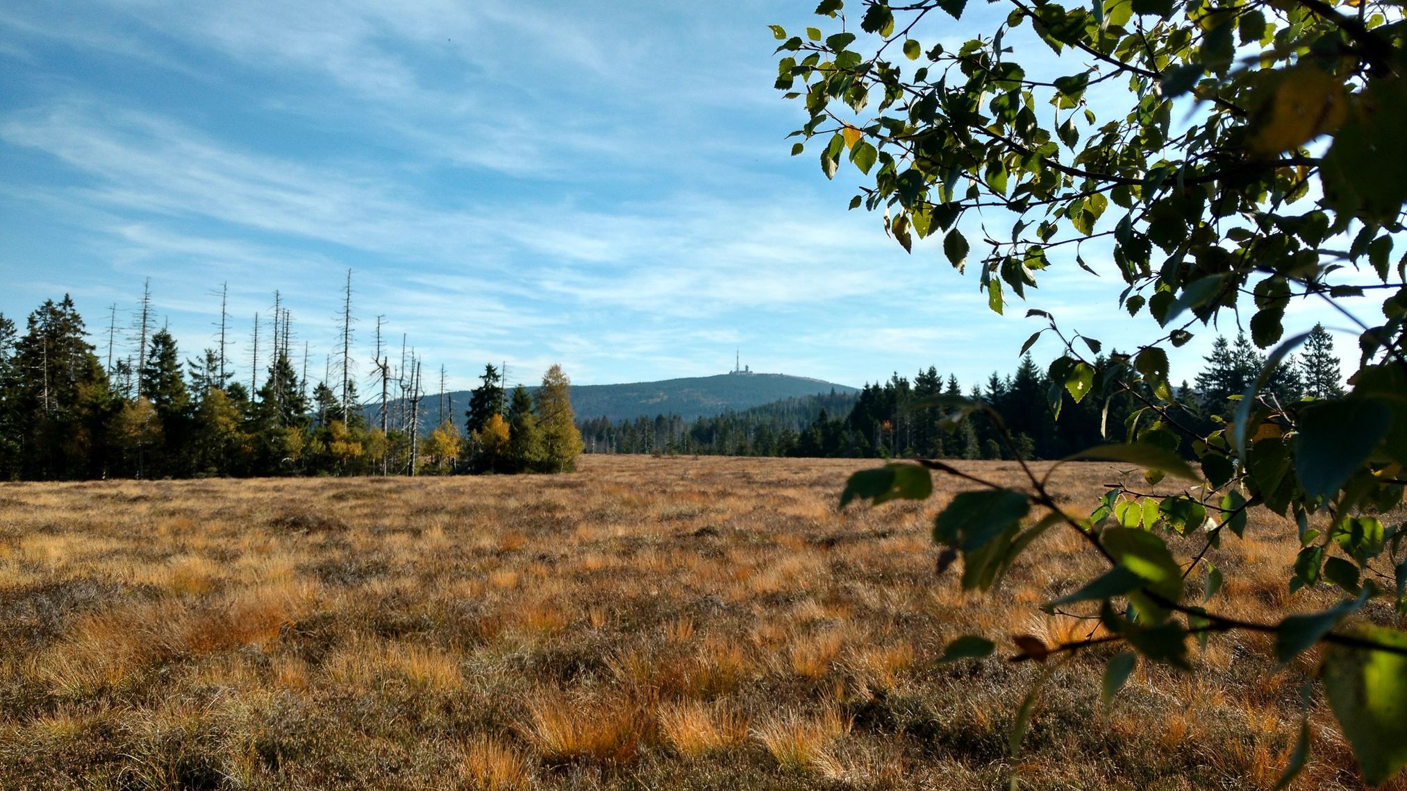
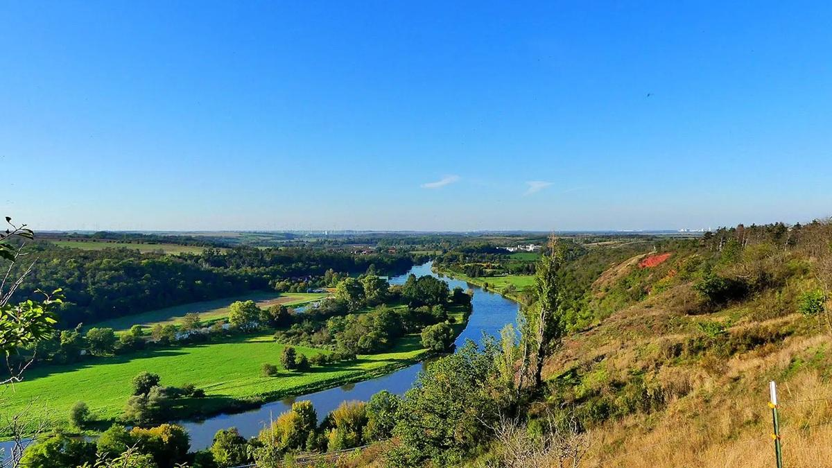
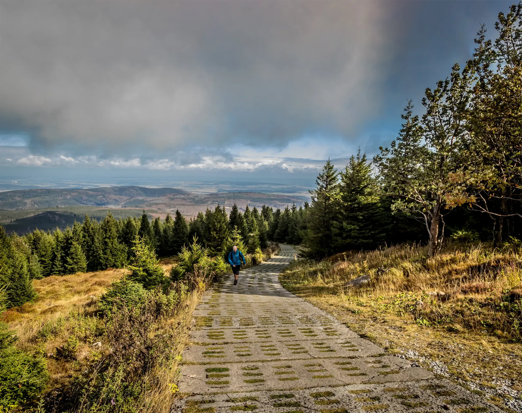
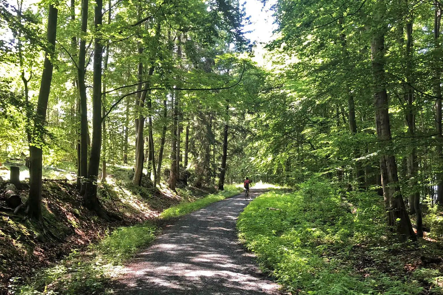
Gravel biking around Wernigerode features a landscape characterized by the Harz Mountains, offering varied terrain from dense forests to open valleys. The region includes significant water bodies such as the Zillierbach Dam and Rappbode Forebay, providing routes with both waterside views and forest paths. Elevation changes are common, with trails leading towards hills and mountain summits like the Brocken. This area provides a mix of challenging climbs and more moderate paths suitable for gravel cycling.

Best gravel bike trails around…

最終更新日: 7月 2, 2026

3.8

(13)

58

ライダー

#1.

Brockenbahnから出発する ツィリーアーバッハダム – ブロッケンの眺め ループコース

23.4km

01:34

370m

370m

中程度のグラベルライド. ある程度のフィットネスレベルが必要です。 全般的に舗装された状態です。あらゆるスキルレベルに適しています。

デバイスでナビ

スマートフォンに送信

保存

中程度

難しいグラベルライド. 標準以上のフィットネスレベルが必要です。 ツアーの一部で自転車を押して歩く必要があるかもしれません。

難しい
guide_signup
私たちがkomootモバイルアプリで道を示します
無料の komoot アカウントがあれば、無限のアウトドアコースを簡単に見つけてカスタマイズし、ナビで案内できます。

無料新規登録

難しいグラベルライド. 標準以上のフィットネスレベルが必要です。 全般的に舗装された状態です。あらゆるスキルレベルに適しています。

難しい

難しいグラベルライド. 標準以上のフィットネスレベルが必要です。 ツアーの一部で自転車を押して歩く必要があるかもしれません。

難しい

難しいグラベルライド. 標準以上のフィットネスレベルが必要です。 全般的に舗装された状態です。あらゆるスキルレベルに適しています。

難しい
無料新規登録すると、ヴェルニゲローデでのでのライドをさらに61件ご覧いただけます。

さらに多くのルートや他のユーザーのおすすめ情報を確認できます。

無料新規登録

すでにアカウントをお持ちですか?

おすすめのツアーは他のkomootユーザーが実際に経験した何千ものアクティビティに基づいています。
無料アカウントで今日から始めよう

次の冒険が待っています。

ログインまたは登録

ヴェルニゲローデ周辺で人気

ハルツ・ルンドヴェグ - ハルツフォーランドの中山地帯を1周

ハーツのマジックな旅

ザクセン=アンハルトの自然景観

ニーダーザクセンのナショナルパーク

再統合された山脈 - ハルツの国境道

ファミリー向けマウンテンバイクツアー国立公園ハルツ

マウンテンバイクルート 国立公園ハルツ

ブルットリストのブルットランドがないません - ディフォルトアルドルのディフォルトアルドル

ハャール影少の関海

ハルツ国立公園の国立公園設備

ヴェルニゲローデでのの他の冒険

ハルツ・ルンドヴェグ - ハルツフォーランドの中山地帯を1周

サイクリングのコレクション によって

Johanna

コミュニティからのヒント

Caro "Bandit"
9月 18, 2025, Rappbode Vorsperre

From the Rappbode Dam, you have breathtaking views over dense forests, rolling hills, and the shimmering water. The surrounding nature invites you to linger, hike, and breathe deeply.

Google翻訳による翻訳

3

0

Very nice there…!!!

Google翻訳による翻訳

1

0

Stamping point easily accessible from several routes.

Google翻訳による翻訳

1

0

Great for biking 🚵‍♀️

Google翻訳による翻訳

2

0

Data The gravity dam was built from 1934 to 1936.[1] It is approximately 38 m[1] above the valley floor and 45 m[1] above the foundation level. The crest of the dam is located at 473.8 m above sea level, is 186.5 m[1] long and 3.50 m[1] wide. The volume of the dam contains approximately 54,400 m³ of concrete.[1] History Planning, Construction Phase, and World War II The plan to build a dam on the Zillierbach stream originated in 1931. When construction began in 1934, cult objects from the turn of the century were excavated. Initially, an arch dam was planned; however, the plan was changed during construction. The building materials were delivered via a feeder railway from Drei Annen Hohne. The aggregates could be mined locally. A dedicated sawmill was built at the dam inlet for the formwork. The cost estimate was 3.31 million Reichsmarks. The main work was completed in June 1936. During excavation work for the dam in 1935, workers unearthed a votive offering[5] from the Bronze Age around 1000 BC below the Peterstein, which is on display in the Harz Museum in Wernigerode. In the final days of World War II (1939–1945), the SS planned to destroy the dam, but the Allies were able to prevent this after a tip-off from the dam master.[1] Source: https://de.wikipedia.org/wiki/Talsperre_Zillierbach

Google翻訳による翻訳

3

0

The Zillierbach Dam is located in the Harz/Saxony-Anhalt Nature Park. It stretches between Drei Annen Hohne in the southwest and Nöschenrode in the north-northeast, both of which lie on the Zillierbach stream and belong to the town of Wernigerode, and Elbingerode in the southeast, which, away from the reservoir and stream, belongs to the town of Oberharz am Brocken. Source: https://de.wikipedia.org/wiki/Talsperre_Zillierbach

Google翻訳による翻訳

3

0

The Zillierbach Dam, or Zillierbach Reservoir, is a reservoir consisting of a dam, waterworks, and reservoir, built between 1934 and 1936 in the eastern part of the Harz Mountains in Saxony-Anhalt, between the Upper Harz Mountains on the Brocken and Wernigerode in the Harz district. Its approximately 45 m[1] high dam impounds the Zillierbach stream to form the approximately 24 ha[1] large Zillierbach Reservoir. The dam serves to protect the villages located below its dam, including those along the Zillierbach, from flooding, and, with its waterworks, to supply drinking water to many nearby villages, which is why it, along with the surrounding forests, lies within a large drinking water protection area. Source: https://de.wikipedia.org/wiki/Talsperre_Zillierbach

Google翻訳による翻訳

3

0

The fourth stage of the Harz Witches' Trail also runs along this path. All information about the long-distance hiking trail can be found at the following link: https://www.harzinfo.de/erlebnisse/wandern/harzer-hexen-stieg (as of June 30, 2025).

Google翻訳による翻訳

0

0

ヴェルニゲローデでのの人気ルート

ヴェルニゲローデのファミリーハイキング

ヴェルニゲローデでのの人気観光スポット

Places to see

Store rating

komootモバイルアプリでインスピレーションを得よう

無料のkomootアカウントがあれば、無限のアウトドアコースを簡単に見つけてカスタマイズし、ナビで案内できます。

または

今すぐkomootに参加しよう

Store rating

さらに探索

他の地域の最高のグラベルライドを見てみましょう。

KramershaiEisenpfähleHarzerBachtälerSchierkeオーバーハルツアムブロッケンTeufelsmauer Und Bode Nordöstlich ThaleダムウェンデフルトクヴェトリンブルクダムKönigshütteBodetalSteinköpfeハルバーシュタットOberes SelketalMandelholztalsperreハルツゲローデバレンシュテットアレクシスバートタレハッセルフェルトファルケンシュタイン/ハルツSchauener HolzディットフルトSelketalRappbodetalsperreHassel-VorsperreBurgesroth-Bruchholzノルドハルツシュタットイルセンブルクイルセンブルク(ハルツ)オスターヴィークHarslebener Berge Und Steinholzヴェーゲレーベンハルスレーベンシュヴァーネベックグローセル・ファルシュタイン悪魔の池ユイゼルケアウエユイグロース・クヴェンステットヘーダースレーベン

近くのアドベンチャーガイド

Mandelholztalsperreでやるべきこと

background

新しいピークを征服する準備をしよう

無料でサインアップ

探検する
ルートルートプランナー機能ハイキングMTBトレイルロードバイクルートバイクパッキングサイトマップ
アプリをダウンロード
SNSでフォローする

© komoot GmbH

プライバシーポリシー