ルート

プランナー

機能

アップデート

App

ログインまたはサインアップ

アプリを入手

ログインまたはサインアップ

ルート
Places to see
Mountain Peaks
ドイツ
テューリンゲン
ノルトハウゼン

ヘルマンスアッカー

ヘルマンスアッカーの絶景の山頂・トップ9


絶景を目指して登るのであれ、達成感のために登るのであれ、山頂を訪れることで、ヘルマンスアッカーの美しい自然をもっと満喫することができます。9
もの選択肢の中から、制覇する山頂を決めるのは簡単ではありません。スムーズに次の冒険で目指す山頂を選べるように、ヘルマンスアッカーの素晴らしい山頂をこのガイドにまとめました。

最終更新日: 8月 31, 2026

グローサー・アウアーベルクのヨーゼフスクロイツ

ハイライト • 記念碑

The Joseph Cross is a must in the south-eastern Harz. It stands on Josephshöhe and is, so to speak, a piece of Paris in the Harz Mountains. The Joseph Cross …

翻訳者 Google •

役立つ情報

によるものです

ここでのハイキングを見る

スマートフォンに送信

保存

There are many steps to climb, but it's worth it. High up you have a magnificent view over the Harz National Park. Also stamp office of the HWN.

翻訳者 Google •

役立つ情報

によるものです

保存

今すぐサインアップして、こんな場所を発見しよう

最高のシングルトラック、ピーク、その他のエキサイティングなアウトドアスポットのおすすめを受け取ろう。

無料新規登録

Ilfelder Wetterfahne (HWN 095)

ハイライト • 展望台

The weathervane Ilfeld lies high above the village itself. Benches and a refuge complete the course. Here is the stamp 95 of the Harzer hiking nobility. The view stretches south …

翻訳者 Google •

役立つ情報

によるものです

保存

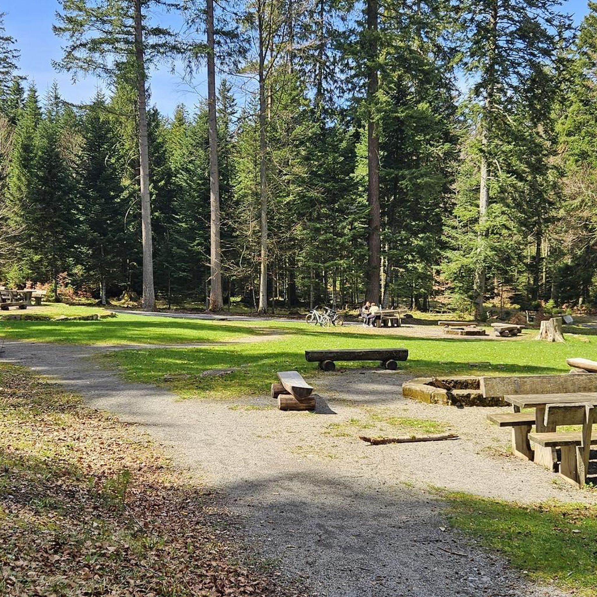
Great waters it is picturesque. A good rest area and for all stamp knights, here there is the 172 hwn.😉

翻訳者 Google •

役立つ情報

によるものです

保存

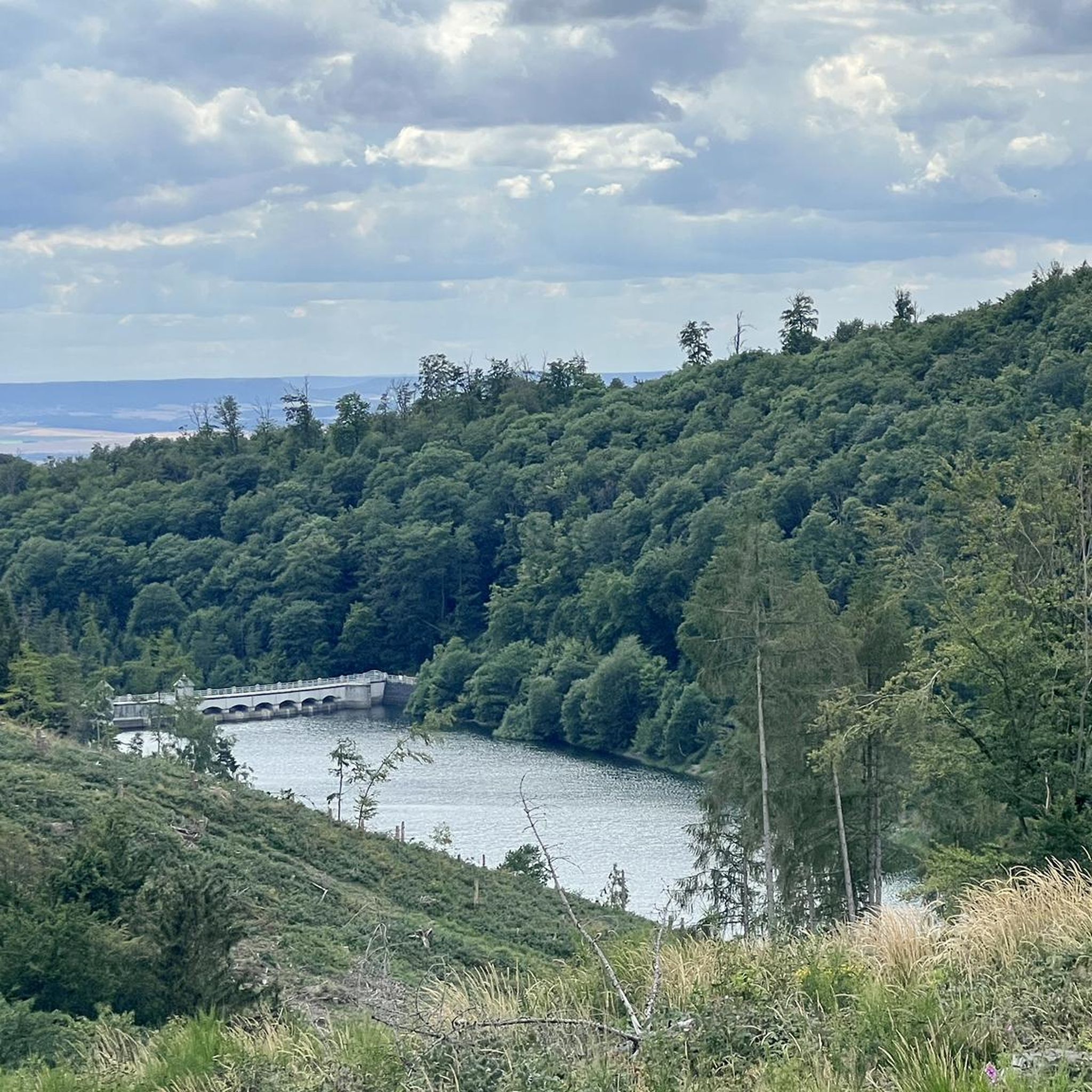
マリニウス池

ハイライト • 湖

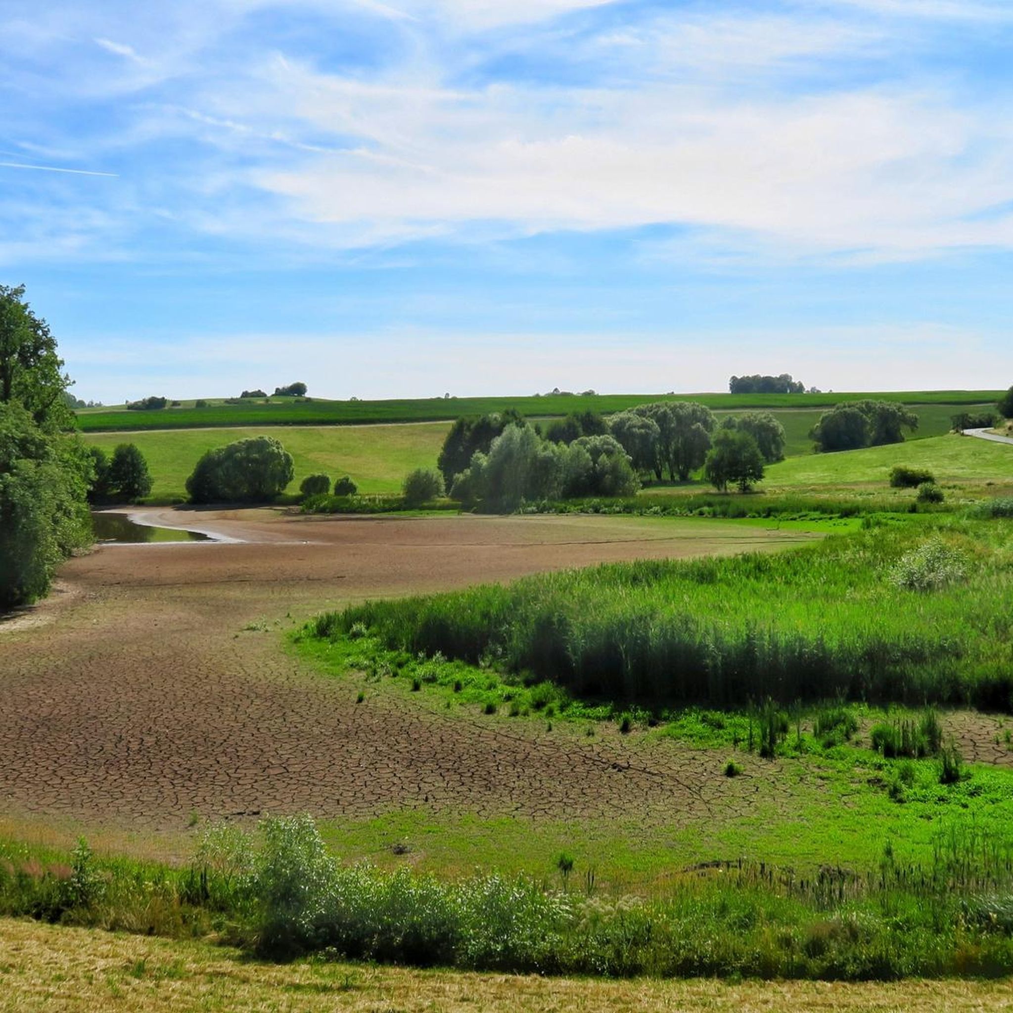
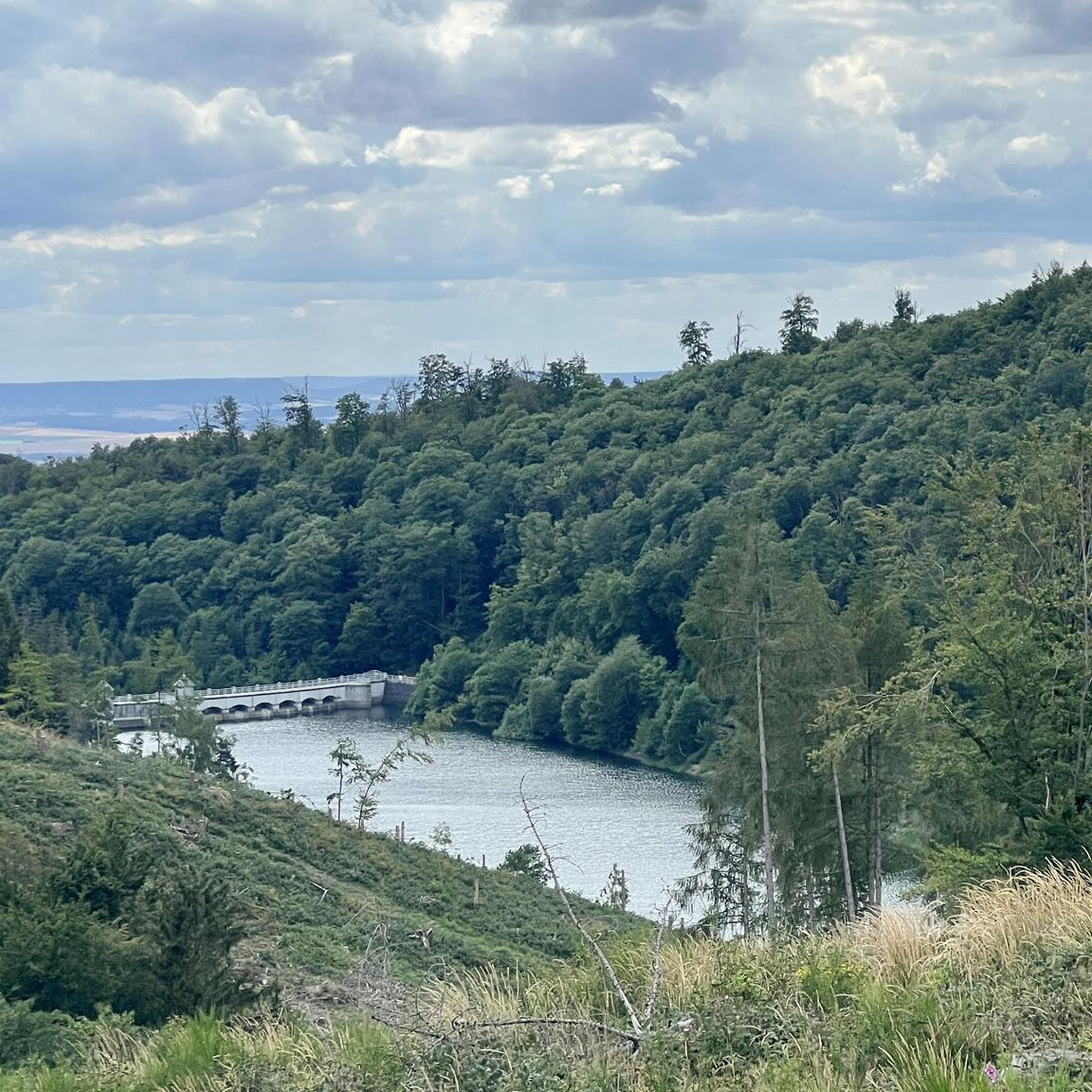
The Maliniusteich is an old mining pond and is used for drinking water supply. The Rödelbach is dammed. The reservoir is part of the Lower Harz pond and ditch system.

翻訳者 Google •

役立つ情報

によるものです

保存

無料でサインアップして、さらに多くの山を発見しましょう ヘルマンスアッカーでの。

無料新規登録

すでにアカウントをお持ちですか?

無料アカウントで今日から始めよう

次の冒険が待っています。

ログインまたは登録

ヘルマンスアッカー周辺で人気

Harztor Familienwanderungen – Naturpark Südharz

ヘルマンスアッカーでのハイキング

ヘルマンスアッカーのMTBトレイル

ヘルマンスアッカーのロードバイクルート

ヘルマンスアッカーでのサイクリング

ヘルマンスアッカーでののグラベルライド

ヘルマンスアッカーのランニングコース

ヘルマンスアッカーでの登山&山歩き

ヘルマンスアッカーでのの他の冒険

Harztor Familienwanderungen – Naturpark Südharz

ハイキングのコレクション によって

Gemeinde Harztor

コミュニティからのヒント

Alwin
10月 31, 2023, Der Maliniusteich

Picturesque in every season, most colorful in autumn🏞🍂🤗🍁

Google翻訳による翻訳

25

0

Since 1894, the wooded Poppenberg has had a 33.5 m high observation tower in steel framework construction built by the Nordhausen branch of the Harz Club, which was named after Prince Otto zu Stolberg-Wernigerode. On the occasion of the dedication of the tower on July 12, 1894, the mountain peak was christened Fürst-Otto-Höhe in honor of the forest owner. The tower was renovated in 1994.[2] When visibility is good, it offers a comprehensive view of the southern Harz, the Lower Harz with the Joseph Cross on the Großer Auerberg, the Goldene Aue and the Kyffhäuser. (Source: Wikipedia)

Google翻訳による翻訳

16

1

An idyllic place. Nice and quiet location in the forest. The pond is part of the ditch system of the Lower Harz, which was created during the mining period. Here you should take some time and take a longer break

Google翻訳による翻訳

7

0

I've been here so many times now, in every season. The first time was an absolute challenge for me with my fear of heights. But now it gets better with every climb. And the view is sensational anyway.

Google翻訳による翻訳

12

0

An idyllic place.

Google翻訳による翻訳

9

2

beautiful pond with a great rest area, a rest here is worthwhile

Google翻訳による翻訳

13

0

The weather vane on the Herzberg is considered a symbol of Ilfeld and can be seen several times from the village.

Google翻訳による翻訳

19

1

The tower was built by the Harz Club in 1897 and is stamped 92 of the Harz Hiking Needle.

Google翻訳による翻訳

38

1

ヘルマンスアッカーでのの人気ルート

ヘルマンスアッカーでのハイキング

ヘルマンスアッカーでのの人気観光スポット

Places to see

Store rating

komootモバイルアプリでインスピレーションを得よう

無料のkomootアカウントがあれば、無限のアウトドアコースを簡単に見つけてカスタマイズし、ナビで案内できます。

または

今すぐkomootに参加しよう

Store rating

さらに探索

これらのガイドでさらに素晴らしい頂上を見てみましょうヘルマンスアッカーでの:

エルリッヒハルツトールノイシュタット/ハルツハルツンゲンNaturpark Südharzリプレヒターオーデクラインボドゥンゲンヘリンゲン/ヘルムクラヤ

近くのアドベンチャーガイド

Großer Ronneberg-Bielsteinでやるべきこと

background

新しいピークを征服する準備をしよう

無料でサインアップ

探検する
ルートルートプランナー機能バウチャーを利用ハイキングMTBトレイルロードバイクルートバイクパッキングサイトマップ
アプリをダウンロード
SNSでフォローする

© komoot GmbH

プライバシーポリシー