宿のおすすめライド
4.5
(4873)
129,941
ライダー
1,909
ライド
このガイドでご紹介するのは、komootが宿でのロードバイクルートのコレクション全体を評価して選び抜いた、このエリアの人気バイクライドです。あなたに合ったものを見つけるには、以下のルートをクリックして標高データや舗装状態の分析などの細かな情報を把握し、さらにkomootコミュニティのメンバーが投稿した役立つ情報や写真も閲覧しましょう。
最終更新日: 10月 14, 2026
4.8
(86)
3,946
ライダー
121km
06:41
2,500m
2,500m
難しいロードライド. 標準以上のフィットネスレベルが必要です。 全般的に舗装状態が良好で走行しやすい道です。
4.7
(39)
1,133
ライダー
96.2km
04:25
820m
820m
中程度のロードライド. ある程度のフィットネスレベルが必要です。 全般的に舗装状態が良好で走行しやすい道です。

4.6
(38)
1,002
ライダー
78.2km
04:28
1,640m
1,630m
難しいロードライド. 標準以上のフィットネスレベルが必要です。 ツアーの一部に、未舗装のため走行が難しい箇所があるかもしれません。
4.8
(21)
607
ライダー
83.7km
04:46
1,730m
1,720m
難しいロードライド. 標準以上のフィットネスレベルが必要です。 ツアーの一部に、未舗装のため走行が難しい箇所があるかもしれません。
4.7
(39)
4,054
ライダー
132km
06:29
1,980m
1,980m
難しいロードライド. 標準以上のフィットネスレベルが必要です。 全般的に舗装状態が良好で走行しやすい道です。
4.6
(66)
2,646
ライダー
83.7km
04:33
1,630m
1,630m
難しいロードライド. 標準以上のフィットネスレベルが必要です。 全般的に舗装状態が良好で走行しやすい道です。
4.5
(13)
368
ライダー
44.5km
02:27
850m
860m
中程度のロードライド. ある程度のフィットネスレベルが必要です。 全般的に舗装状態が良好で走行しやすい道です。
4.6
(40)
1,492
ライダー
133km
06:59
2,420m
2,420m
難しいロードライド. 標準以上のフィットネスレベルが必要です。 全般的に舗装状態が良好で走行しやすい道です。
4.7
(97)
1,914
ライダー
42.3km
02:32
1,040m
1,040m
難しいロードライド. 標準以上のフィットネスレベルが必要です。 全般的に舗装状態が良好で走行しやすい道です。
4.6
(82)
2,462
ライダー
53.7km
02:46
910m
910m
難しいロードライド. 標準以上のフィットネスレベルが必要です。 全般的に舗装状態が良好で走行しやすい道です。
さらに多くのルートや他のユーザーのおすすめ情報を確認できます。
すでにアカウントをお持ちですか?
おすすめのツアーは他のkomootユーザーが実際に経験した何千ものアクティビティに基づいています。
無料アカウントで今日から始めよう
次の冒険が待っています。
宿周辺で人気
レース・アクロス・ザ・アルプス
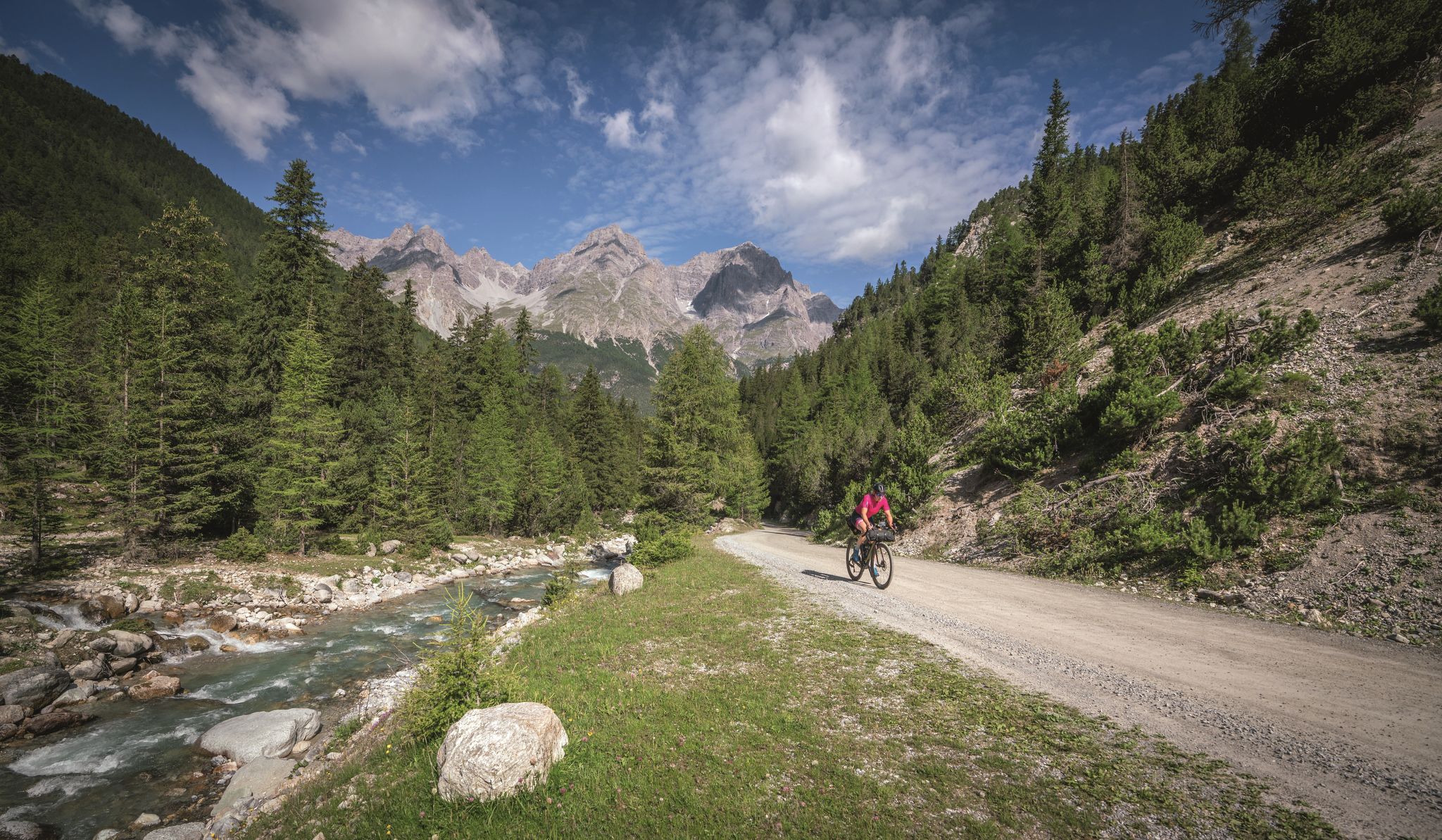
レシェンからガルダ湖まで6日間 - グラベル・トランスアルプとツアー
3国のトャー - イティールのロードはイタリアルティーとアーストャーの長
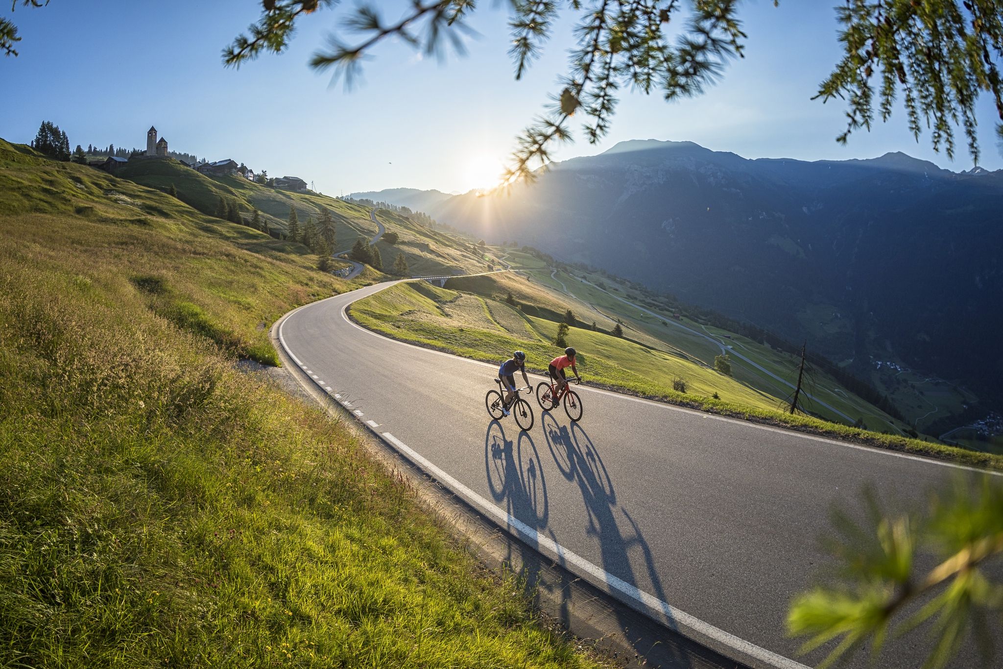
A cyclists’ menu – road cycling in Switzerland’s Grisons
歴史を書きながら-トランスコンチネンタルレース #TCRN06
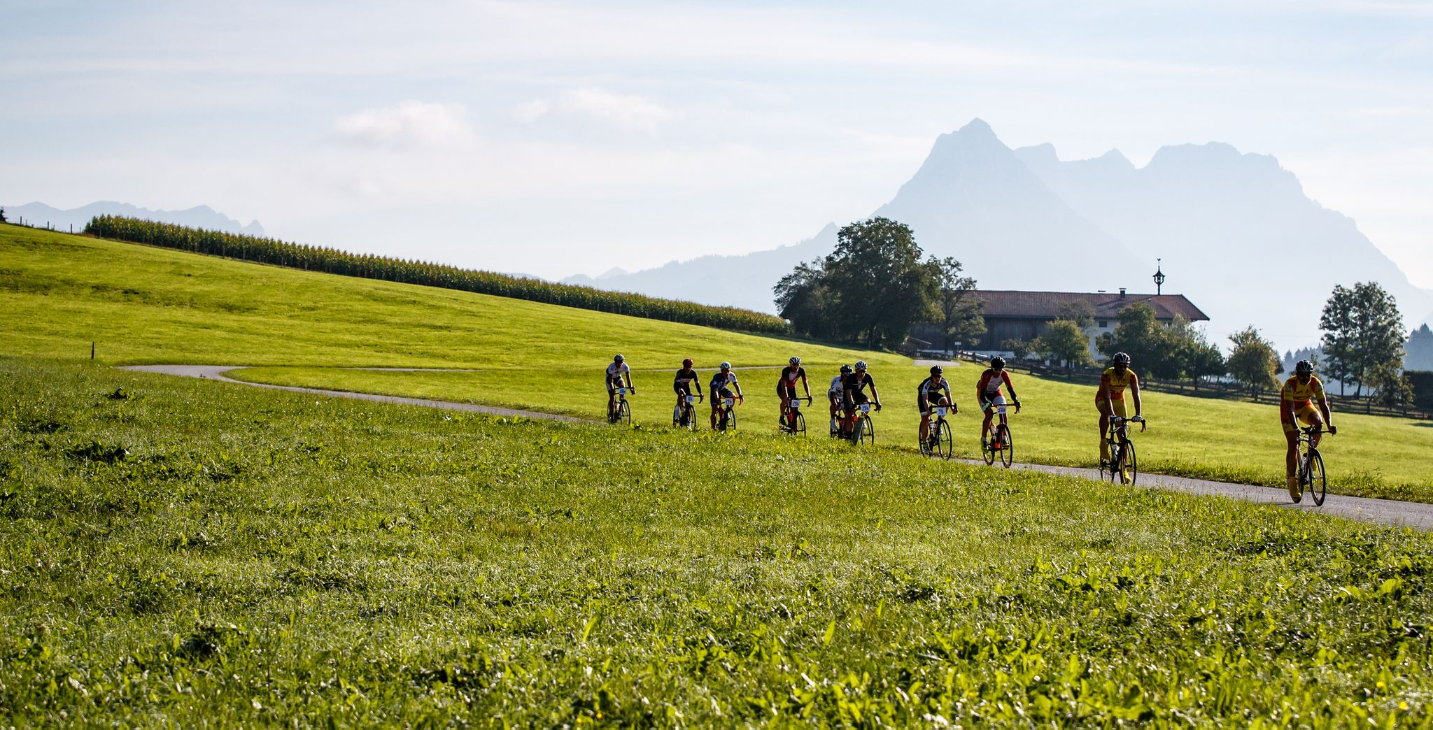
Racy on the road - With the Roadbike through the Kufsteinerland
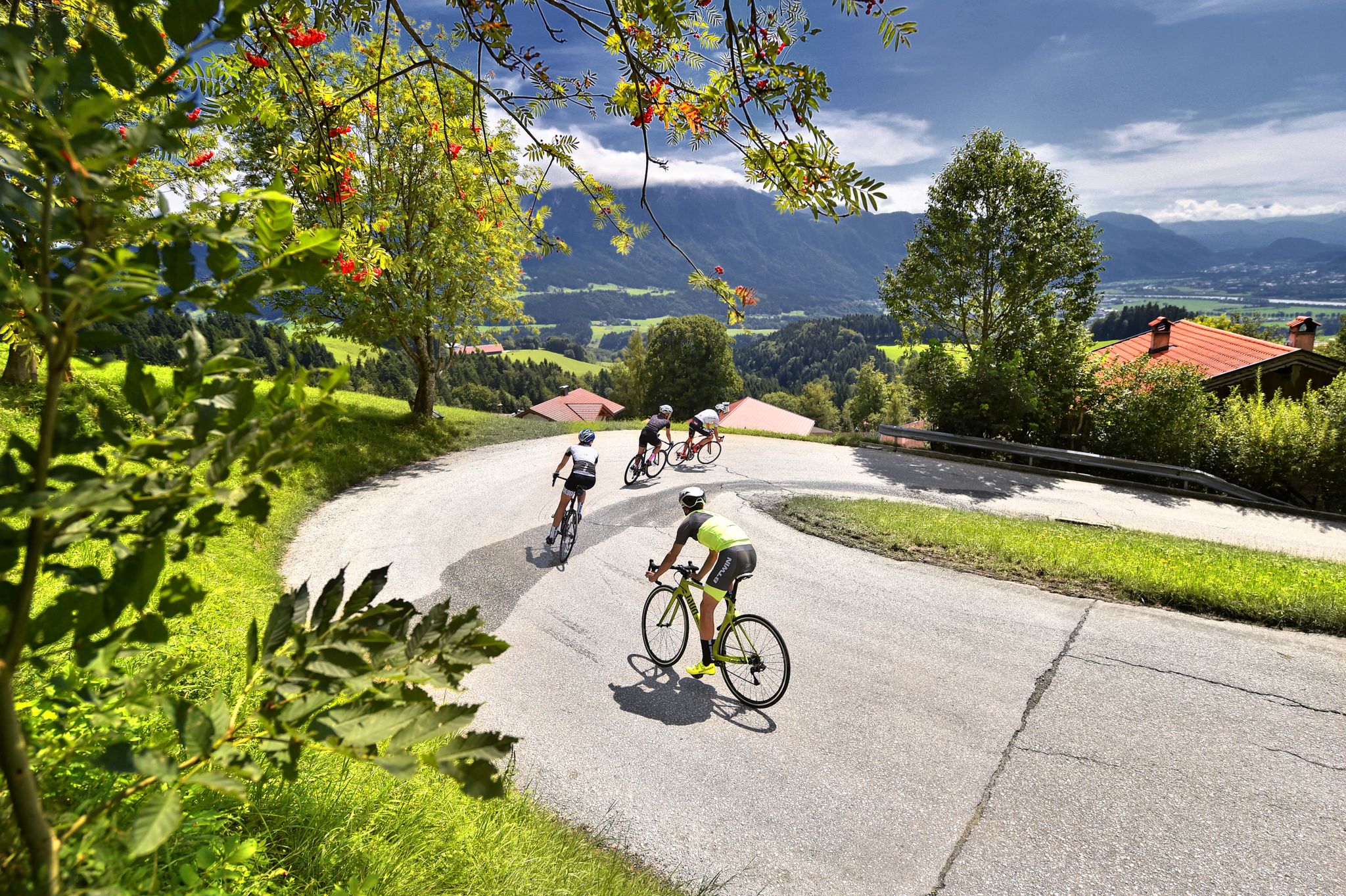
Demanding passes and rapid descents — Road cycling in Kufsteinerland
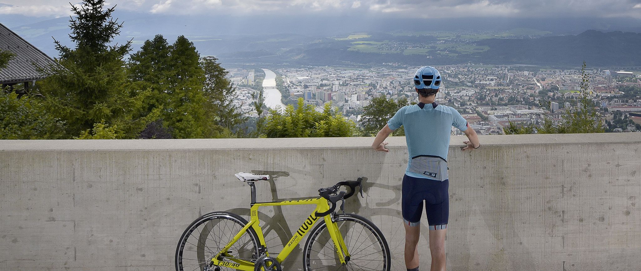
Innsbruck: The host city of the 2018 Road World Championships
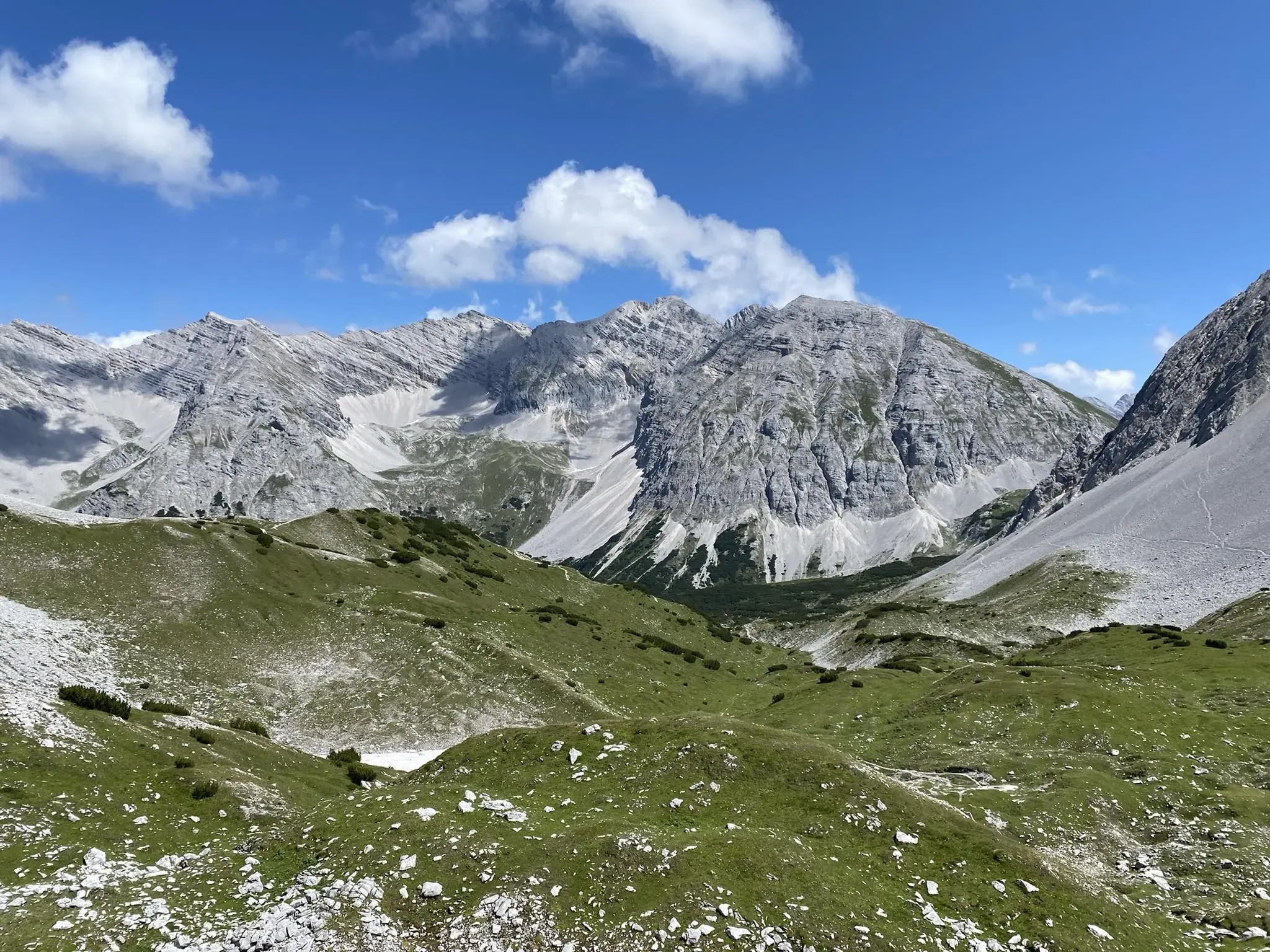
カルヴェンデル交差点 - インスブルックからシルベンシュタインシュパイヘルまで
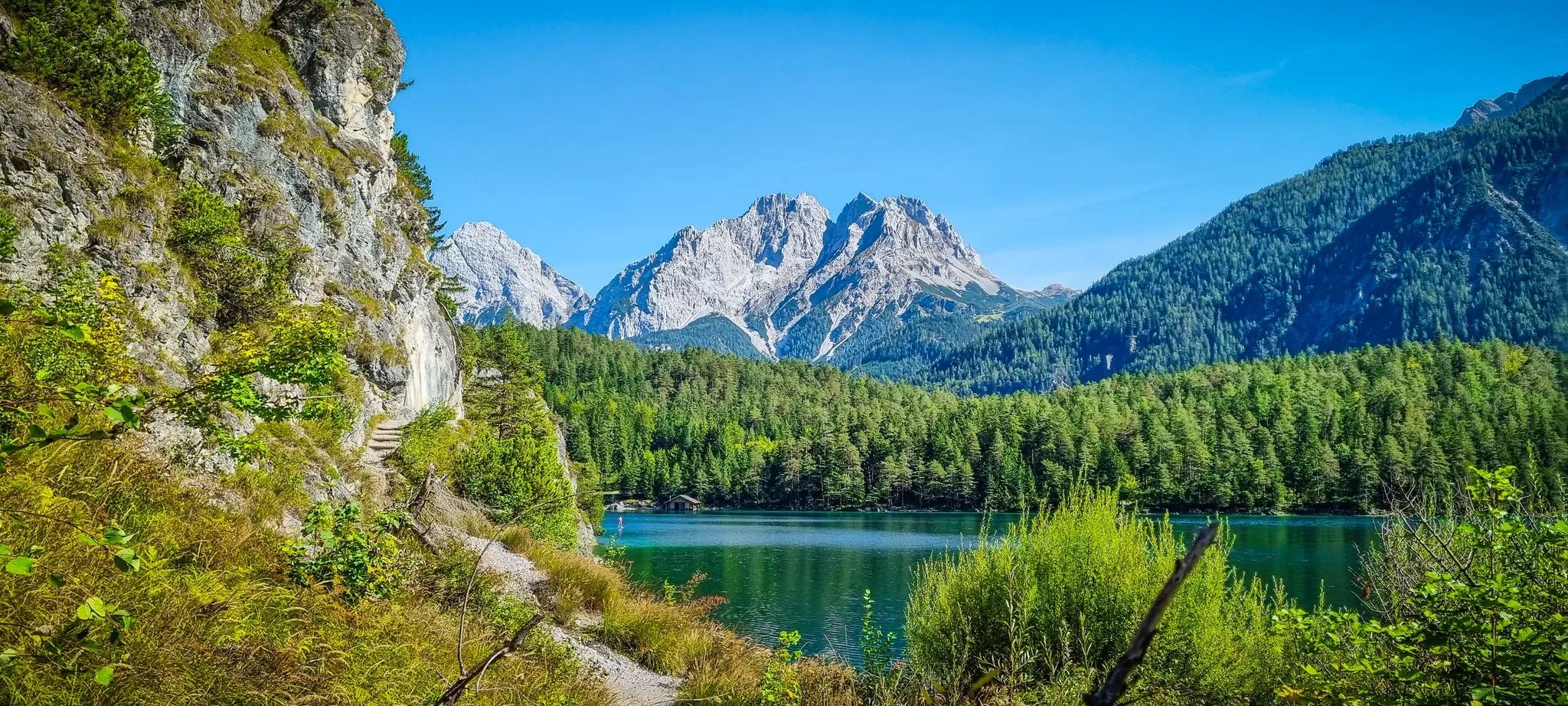
湖と峡谷と貴族のパス - Starkenberg Panorama Trail


コミュニティからのヒント

モルテラッチ氷河は、1857年(小氷期13/14世紀~19世紀)にその最大の広がりを見せ、RhBの停留所まで100mに達しましたが、それ以降は絶えず後退しています。しかし、2018年の樹木発見(C4 + 年輪年代学)によると、10400年前のカラマツの木は、最後の氷河期(更新世20000~14000年前)の後、完新世の初め(約10000年前)には、氷河は現在よりもさらに後退していたことを示しています。最小は7000年頃でした。その後、氷河は再び成長し、1857年に最大となりました。測定は1915年から始まり、それ以降は継続的に後退しています。(約20000年前にはベルニナ氷河やイン川氷河と繋がっており、約14000年前にはポントレジーナまで、1857年にはほぼRhbモルテラッチ停留所まで達していました。
0
0

モルテラッチ谷からもモンテベッロからも、氷河とベルニナ山塊の壮大な景色を楽しむことができます。
0
0

Morteratsch Glacier Trail 16 information points provide insights into the glacier's retreat and the mysterious life in its foreland. Where else can you admire, touch, and even walk on eternal ice after such a short hike? Just under 50 minutes from Morteratsch train station, you'll reach your destination: the milky glacial lake and the gigantic ice tongue. A literary treat awaits you on the LiteraTOUR. The captivating audio texts can be accessed individually via QR code at the 16 information points along the Morteratsch Glacier Trail. The stories include anecdotes, poems, and tour reports from various eras. Text / Source: Engadin Tourism AG, Via Maistra 1, 7500 St. Moritz https://www.engadin.ch/de/aktivitaeten/gletscherweg-morteratsch/
14
0
Morteratsch Glacier The Morteratsch Glacier is a historically significant glacier that has been systematically monitored since 1878. Over the last 150 years, the glacier has retreated by almost three kilometers, and its ice volume has decreased by two-thirds. The Bernina Railway, which began operating in 1908, was then located just a stone's throw from the glacier's terminus. Since then, the glacier has retreated considerably, and the movement of its surroundings is no longer visible. Text / Source: wikipedia.org https://de.wikipedia.org/wiki/Morteratschgletscher
14
0


Especially on the climb up to Ladis, you have a fantastic view of the restored Laudeck (or Laudegg) castle ruins. First documented in 1232, the castle is now privately owned. However, it can still be visited as part of a guided tour; you can find information about these tours on the Serfaus-Fiss-Ladis website: https://www.serfaus-fiss-ladis.at/de/region-and-travel-information/restaurants-shops/laudeck-castle_infra_34677.
0
0


komootモバイルアプリでインスピレーションを得よう


さらに探索
他の地域の最高のロードサイクリングルートを見てみましょう。
