イルエビレーヌのおすすめライド
4.4
(517)
14,268
ライダー
170
ライド
このガイドでご紹介するのは、komootがイルエビレーヌでのロードバイクルートのコレクション全体を評価して選び抜いた、このエリアの人気バイクライドです。あなたに合ったものを見つけるには、以下のルートをクリックして標高データや舗装状態の分析などの細かな情報を把握し、さらにkomootコミュニティのメンバーが投稿した役立つ情報や写真も閲覧しましょう。
最終更新日: 10月 11, 2026
4.2
(11)
118
ライダー
52.3km
02:22
460m
460m
中程度のロードライド. ある程度のフィットネスレベルが必要です。 全般的に舗装状態が良好で走行しやすい道です。
3.9
(17)
884
ライダー
62.6km
02:53
530m
530m
中程度のロードライド. ある程度のフィットネスレベルが必要です。 全般的に舗装状態が良好で走行しやすい道です。

4.5
(11)
352
ライダー
47.4km
02:05
410m
410m
中程度のロードライド. ある程度のフィットネスレベルが必要です。 ツアーの一部に、未舗装のため走行が難しい箇所があるかもしれません。
4.3
(9)
279
ライダー
84.6km
03:46
730m
730m
中程度のロードライド. ある程度のフィットネスレベルが必要です。 ツアーの一部に、未舗装のため走行が難しい箇所があるかもしれません。
4.2
(14)
354
ライダー
26.9km
01:15
240m
230m
初級者向けロードバイクライド. あらゆるフィットネスレベルに適しています。 全般的に舗装状態が良好で走行しやすい道です。
4.3
(3)
78
ライダー
61.0km
03:04
560m
560m
中程度のロードライド. ある程度のフィットネスレベルが必要です。 ツアーの一部に、未舗装のため走行が難しい箇所があるかもしれません。
5.0
(2)
85
ライダー
37.4km
01:48
310m
310m
中程度のロードライド. ある程度のフィットネスレベルが必要です。 ツアーの一部に、未舗装のため走行が難しい箇所があるかもしれません。
3.7
(3)
63
ライダー
65.3km
02:56
440m
440m
中程度のロードライド. ある程度のフィットネスレベルが必要です。 ツアーの一部に、未舗装のため走行が難しい箇所があるかもしれません。
3.8
(4)
57
ライダー
30.7km
01:20
240m
240m
初級者向けロードバイクライド. あらゆるフィットネスレベルに適しています。 全般的に舗装状態が良好で走行しやすい道です。
53
ライダー
55.4km
02:24
440m
440m
中程度のロードライド. ある程度のフィットネスレベルが必要です。 全般的に舗装状態が良好で走行しやすい道です。
さらに多くのルートや他のユーザーのおすすめ情報を確認できます。
すでにアカウントをお持ちですか?
おすすめのツアーは他のkomootユーザーが実際に経験した何千ものアクティビティに基づいています。
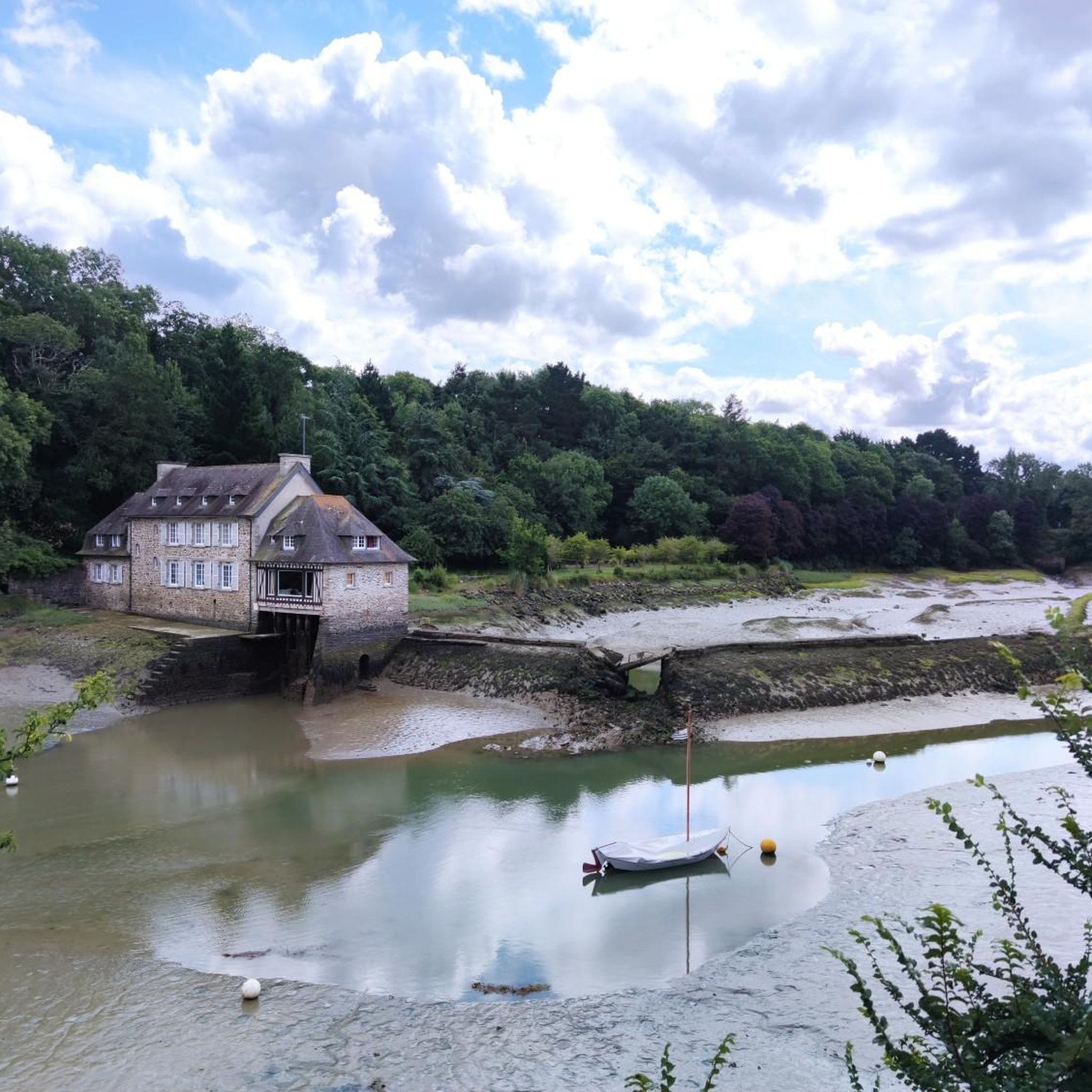
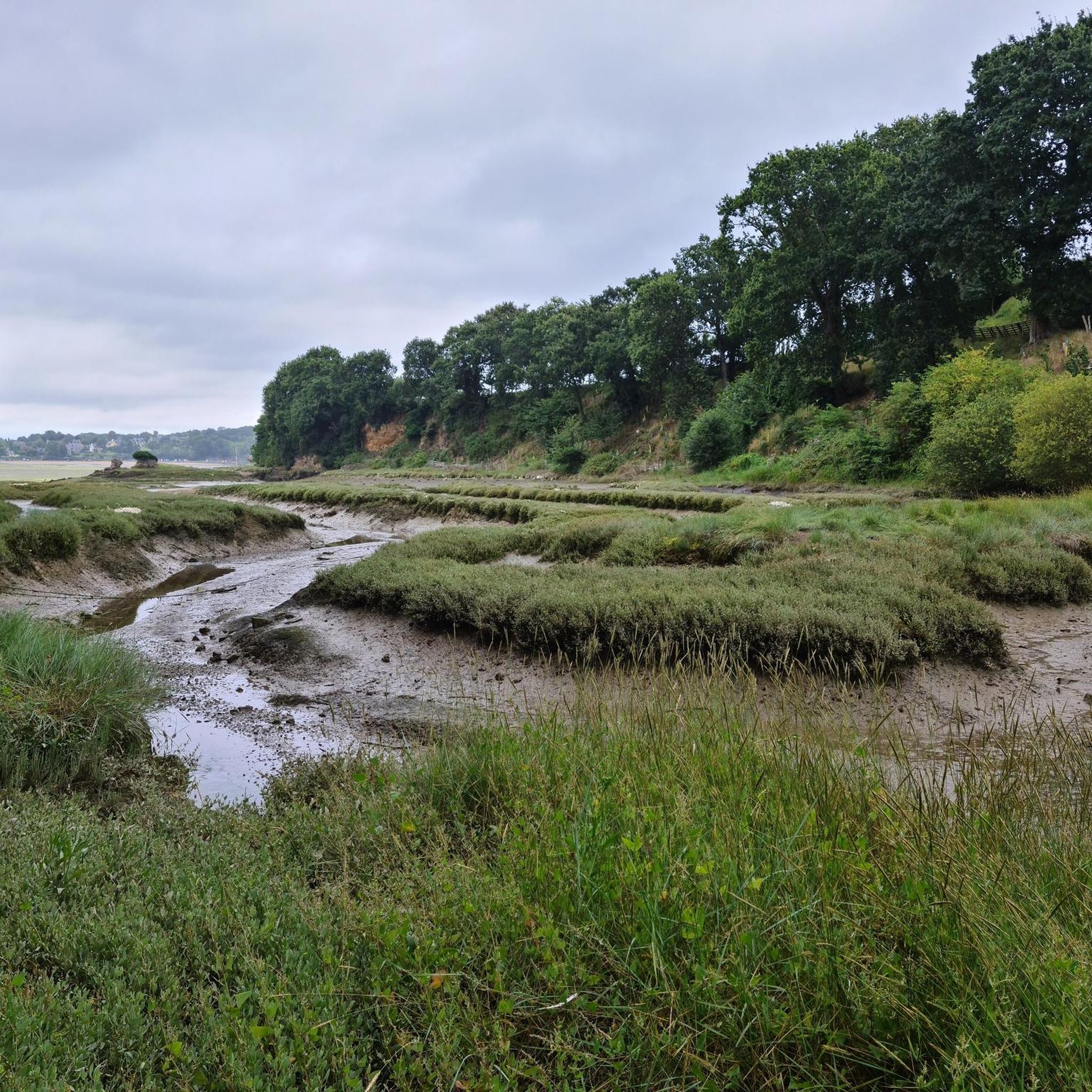
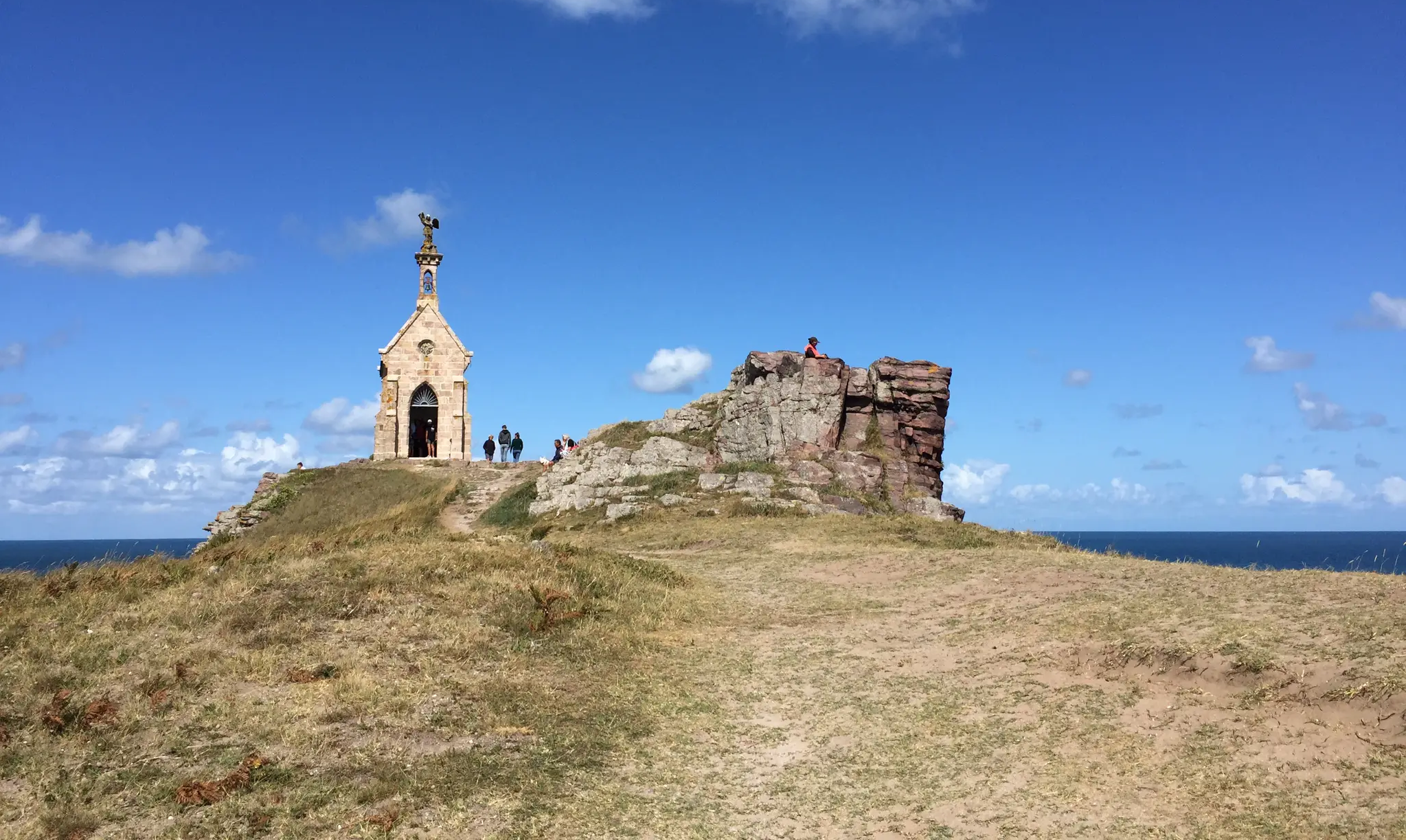
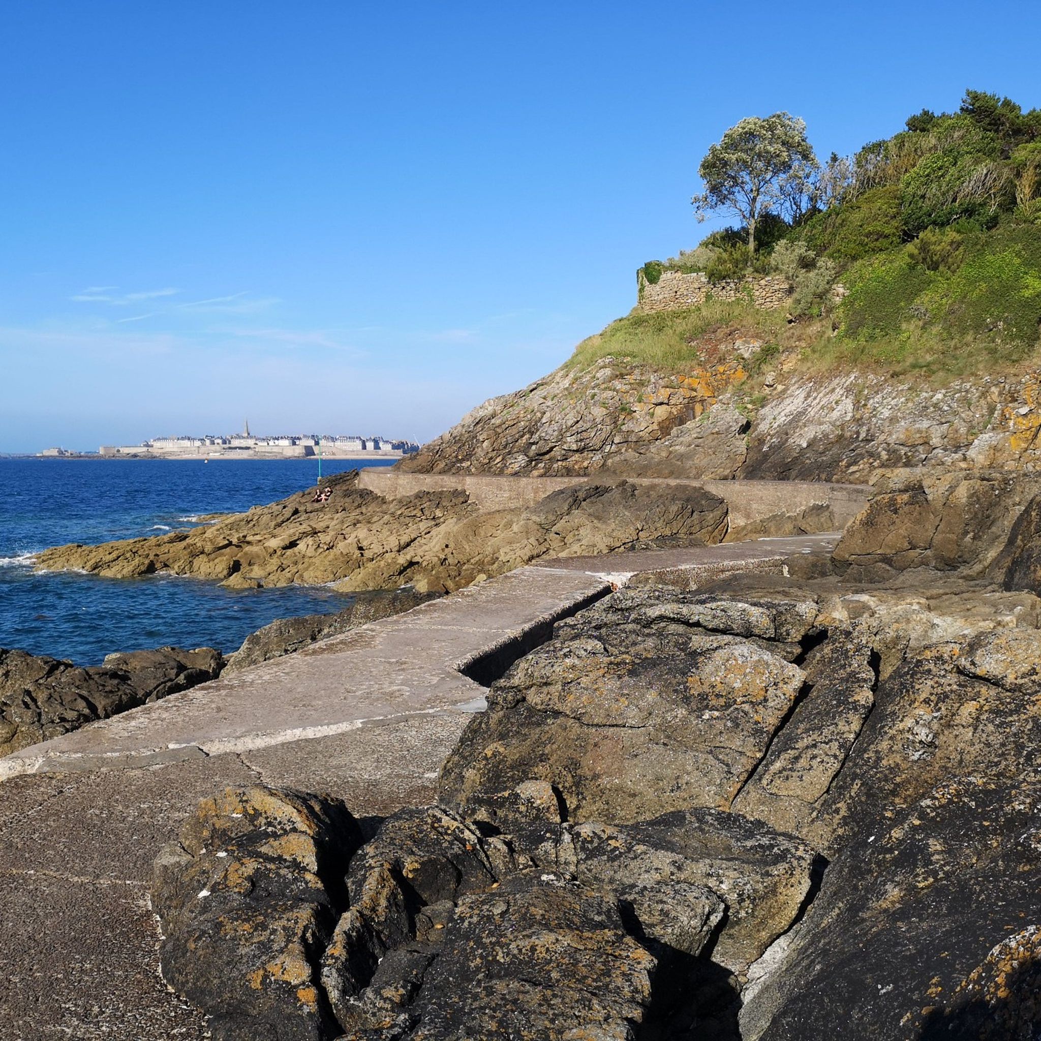

コミュニティからのヒント

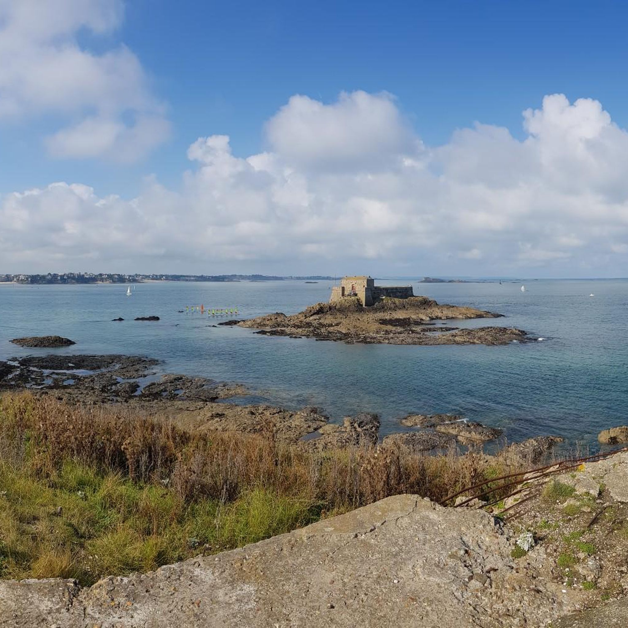
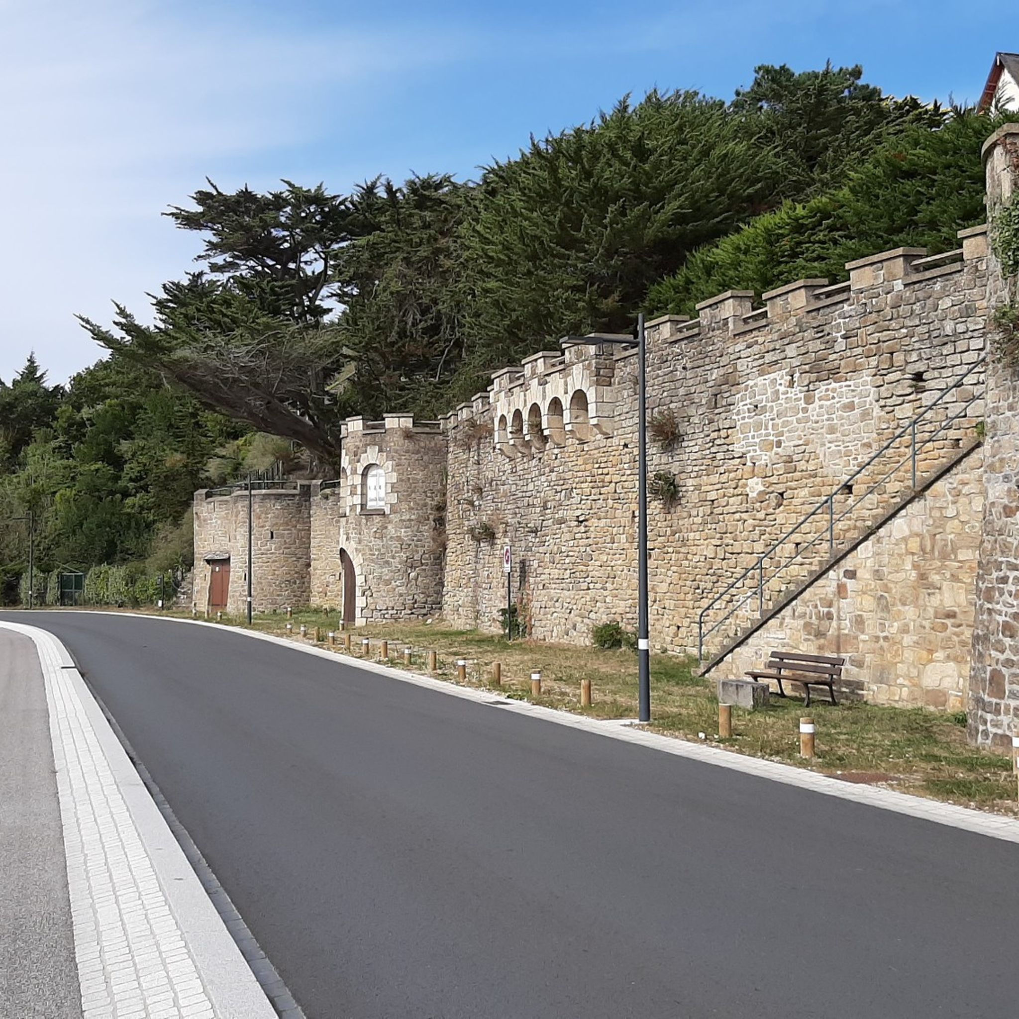
サン・マロ旧市街のアン・トラ・ムールの狭い路地には、ビストロ、クレープリー、各国料理のレストラン、ブティック、お土産物屋が軒を連ねています。サン・ヴァンサン大聖堂には、芸術的なステンドグラスがあります。一方、歩ける城壁からは海の景色を眺めたり、プラージュ・デュ・モールやプラージュ・ド・ボン・セクールといったビーチへアクセスしたりできます。干潮時には、海上の岩の上に1689年に建てられたフォール・ナシオナルや、グラン・ベ島、プティ・ベ島まで歩いて行くことができます。
1
0


The bridge is closed to car traffic until 2028, but passage is still possible on foot or by bicycle.
2
0

灯台(32.85 m)は、エメラルド海岸の最大70メートルの断崖の上に印象的にそびえ立ち、ブルターニュで最も有名なランドマークの1つです。現在の塔は1946年から1950年にかけて建設され、今日まで航海の目印としての重要な役割を果たしています。展望台からは、海の広大さ、険しい断崖、そして沖合の島々の息をのむようなパノラマビューが楽しめます。 灯台への登塔は14:00から可能です。大人料金は1名あたり3ユーロです。
29
0
The Esplanade Saint-Vincent is the central square at the main entrance to the Old Town. It is located directly in front of the historic Porte Saint-Vincent and connects the city walls to the Plage du Sillon beach. The square serves as an important meeting point for visitors and locals and is the starting point for many city tours. It houses the Tourist Information Office, a large parking garage (Q-Park Saint-Vincent), public restrooms, charging stations for electric cars, bus stops, and a taxi stand. The esplanade is barrier-free and therefore easily accessible for people with limited mobility. It is also frequently used for markets, concerts, and cultural events.
21
0

At 3 km long, this is the largest sandy beach in Saint-Malo. Walking along this beach, you can reach Intra-Muros in Paramé. Sillon Beach includes Grande Plage, Hoguette Beach, and Rochebonne Beach. La Digue was built from 1883 to 1913 on an old sandbar (the Sillon) that once connected Paramé to the walled city and provided the only dry-land access at low tide. Originally, a strip of sand was covered with dunes that grew higher and higher as one moved toward Rochebonne, with only a succession of windmills remaining. The first causeway was built in 1509, rebuilt and widened several times... Le Digue, 1,671 meters long, runs along Grande Plage and offers a pleasant stroll, lined with numerous villas built towards the end of the 19th century. Along the Sillon, a line of breakwaters protects the seawall from the force of the waves. Built in the early 19th century based on an idea by the civil engineer Robinault de St-Servan, the oak breakwaters have a depth at least equal to, or even greater than, their visible height.
2
0
イルエビレーヌでのの人気観光スポット

komootモバイルアプリでインスピレーションを得よう


探していたものは見つかりませんでしたか?
イルエビレーヌの下にある他のロードサイクリングルートをチェックして、目的地で完璧なルートを見つけましょう。
さらに探索
他の地域の最高のロードサイクリングルートを見てみましょう。
