ラーテノー周辺のアトラクション&必見スポット - トップ20
ラーテノーには必見のスポットがたくさんあります。ハイキング愛好家やサイクリング愛好家の方は、ぜひラーテノーを探索してこのエリアにある20
の隠れたスポットを訪れてみてください。このエリアの必見スポットを確認し、次の冒険に出かける計画を立てましょう。
最終更新日: 10月 9, 2026
シュテホウとラーテノウ間のハーフェルラント自転車道
ハイライト (セグメント) • サイクリングロード
翻訳者 Google •
役立つ情報 は

橋から見るホーヘンナウエナー湖の眺め
ハイライト • 展望台
翻訳者 Google •
役立つ情報 は

今すぐサインアップして、こんな場所を発見しよう
最高のシングルトラック、ピーク、その他のエキサイティングなアウトドアスポットのおすすめを受け取ろう。
レディ・アグネス – インターフルーク イリューシン Il-62(シュテルン飛行場)
ハイライト • 記念碑
翻訳者 Google •
役立つ情報 は

ハーフェルラートヴェーク(ハーフェルサイクリングロード)・イン・ハーフェルラント
ハイライト (セグメント) • サイクリングロード
翻訳者 Google •
役立つ情報 は


無料アカウントで今日から始めよう
次の冒険が待っています。
ラーテノー周辺で人気
ベルリンを18エタプでサイクリングツアー – ブランデンブルクをめぐる
ハベルサイクリングコース - 源から顔までの6ステージ
Altmark ラウンドトリップ in Saxony-Anhalt
Altmark short breaks – between Hamburg, Berlin & Hanover by bike
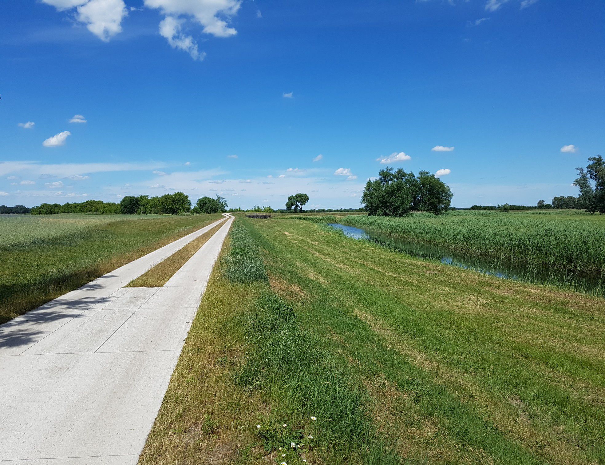
広大な草原を通じて-ドイツのハーベルランド自転車コース
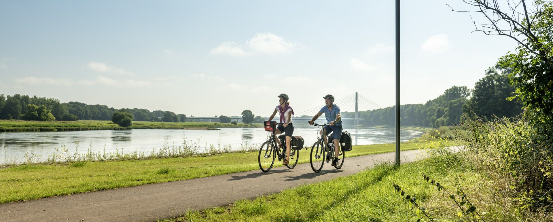
Cycling in Saxony-Anhalt – Where nature and culture combine
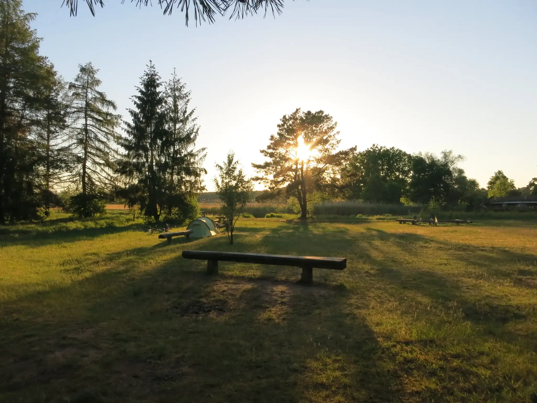
バルリストランド親の名下のストリス
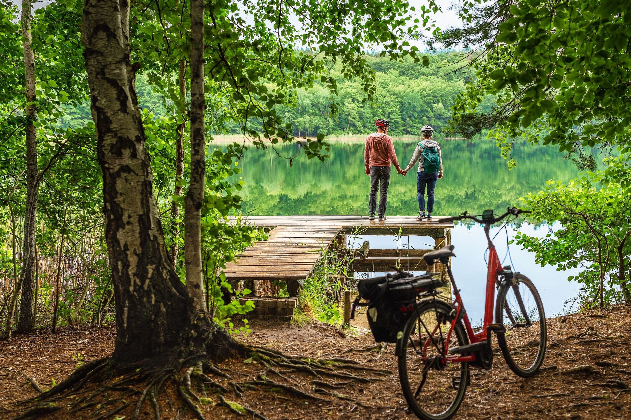
Havel-Radweg: Entdecke die Natur, erlebe Freiraum!
ラーテノーでのサイクリング
ラーテノーでのハイキング
ラーテノーでのの他の冒険


コミュニティからのヒント

橋と湖の眺めが調和しています。
0
0

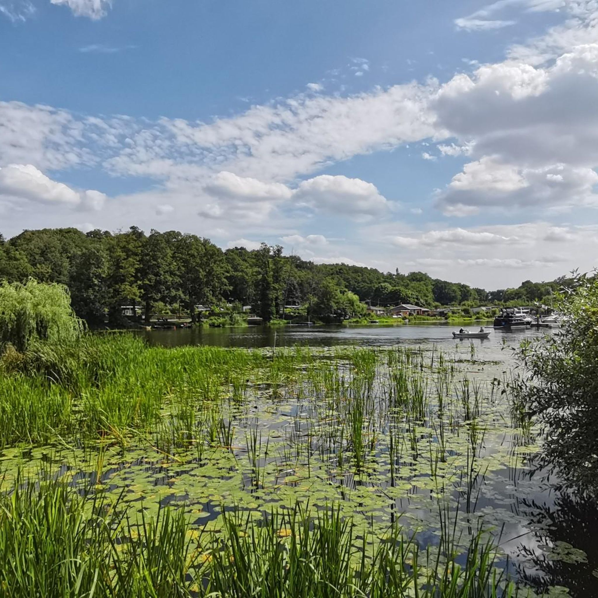
Anyone approaching Lake Hohennauen on two wheels will be rewarded halfway – with a bridge that is more than just a crossing. The view from here is far-reaching: Lake Ferchesar shimmers to the left, Lake Hohennauen stretches out to the right, and in the middle, Lake Semliner stretches long and blue through the landscape. The bridge itself is comfortable: structurally separate paths for cyclists and pedestrians – that's almost a luxury in Brandenburg. Below, water lilies lap against old pilings, above, boats glide by like mobile viewing platforms. If you pause here for a moment, you'll see what defines the region: expanse, water, wind – and a soothing silence that doesn't have to be loud to make an impression.
1
0

A really great building. Unfortunately, the route there isn't signposted at all. Coming from the train station, I would never have found the beginning without Komoot, and from the other side it's not really obvious that you can drive past the edge of the optics park to the bridge.
1
0

On the Gollenberg, a large sculpture, the wind harp on the top of the mountain, and a memorial stone at the crash site commemorate the aviation pioneer. At the foot of the mountain, you can visit the Lady Agnes, an Ilyushin Il-62 long-range aircraft named after Lilienthal's wife. It serves as an exhibition space and registry office and has become a magnet for visitors since its spectacular landing on the runway of the Stölln gliding airfield in 1989.
5
0

They are concrete slabs, but everything is smooth, no bumps or edges.
0
0


The landing on the field in 1989 was spectacular.
5
0

For an entrance fee of 6 euros, the exhibition aircraft can also be viewed from the inside. There is also a small film about the aviation pioneer Lilienthal and the impressive landing of the Ilyushin 62
11
0
ラーテノーでのの人気観光スポット

komootモバイルアプリでインスピレーションを得よう


さらに探索
まだ探しているハイライトが見つかりませんか?他の地域のトップアトラクションのガイドを見てみましょう:
