オットヴァイラーの絶景の山頂・トップ8
絶景を目指して登るのであれ、達成感のために登るのであれ、山頂を訪れることで、オットヴァイラーの美しい自然をもっと満喫することができます。8
もの選択肢の中から、制覇する山頂を決めるのは簡単ではありません。スムーズに次の冒険で目指す山頂を選べるように、オットヴァイラーの素晴らしい山頂をこのガイドにまとめました。
最終更新日: 8月 31, 2026
シャウムベルク高原とシャウムベルク展望塔
ハイライト • 展望台
翻訳者 Google •
役立つ情報 は

ヘッヒベルク塔
ハイライト • 記念碑
翻訳者 Google •
役立つ情報 は

今すぐサインアップして、こんな場所を発見しよう
最高のシングルトラック、ピーク、その他のエキサイティングなアウトドアスポットのおすすめを受け取ろう。
無料新規登録
ヴァインハウスケプヒェンの丘
ハイライト • 展望台
翻訳者 Google •
役立つ情報 は

ゴットルボルンのズリ山から望む「Weiher」発電所の眺め
ハイライト • 展望台
翻訳者 Google •
役立つ情報 は

旧ライン通り(ローマ街道)の休憩所から眺めるシャウムベルク
ハイライト • 展望台
翻訳者 Google •
役立つ情報 は

無料でサインアップして、さらに多くの山を発見しましょう オットヴァイラーでの。
無料新規登録
すでにアカウントをお持ちですか?




コミュニティからのヒント

The "Schaumbergblick" is a popular viewing point and tourist highlight in Saarland, which is especially known for its breathtaking views of the surrounding landscape.
2
0

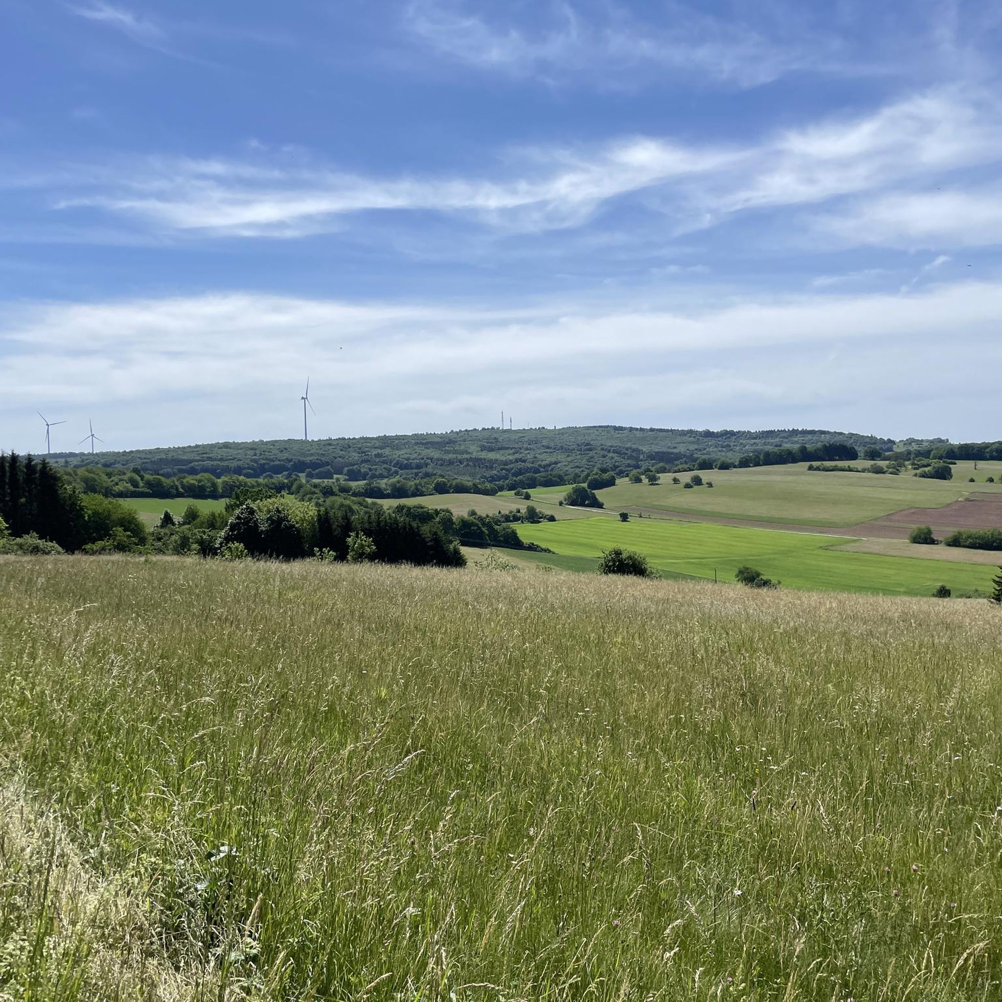
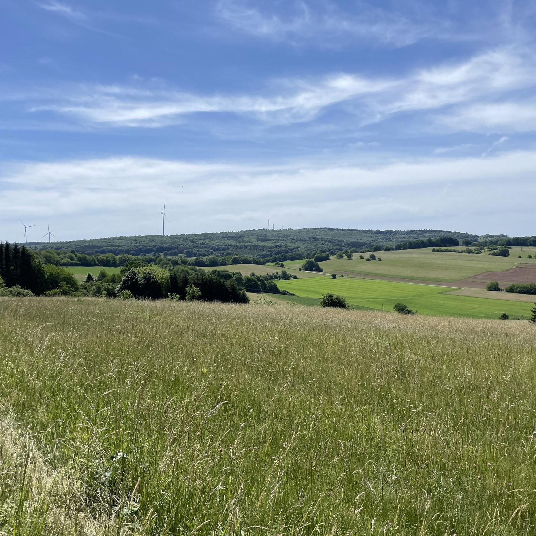
From this point between Winterbach and Alsweiler you have wonderful views in all directions. Not far away you can see the summit of the Schaumberg - not the highest peak in Saarland, but certainly the most famous.
2
1

There are really plenty of beautiful views
2
1

The highlight of the rascal tour, because rascals are always thirsty 🍺 and after Corona they are allowed to go up the tower again!
8
0

Several great views can be enjoyed on the tour.
3
1
Great view of the Schaumberg.
2
0

𝑮𝒆𝒔𝒄𝒉𝒊𝒄𝒉𝒕𝒆 𝑺𝒄𝒉𝒂𝒖𝒎𝒃𝒆𝒓𝒈𝒕𝒖𝒓𝒎 𝒖𝒏𝒅 𝒅𝒆𝒎 𝑲𝒓𝒆𝒖𝒛 𝒃𝒆𝒊 𝑺𝒐𝒕𝒛𝒘𝒆𝒊𝒍𝒆𝒓 In 1914 a tower in honor of Kaiser Wilhelm II was to be built on the mountain plateau. However, the execution of this plan was interrupted by the First World War. Only a 5 m high ruin remained, on which a tower with an integrated war memorial chapel was built from 1927. The larger-than-life crucifix set in the central arch of the tower was striking. This tower had to be demolished in 1972 because it was in disrepair. The undamaged crucifix should be blown up. The construction workers, all from the Catholic villages in the vicinity or of Italian origin, refused to blow up the symbol of faith. The crucifix was removed undamaged, kept for a short time in a shed on the edge of the mountain plateau and later set up not far from the motorway junction near Sotzweiler. Source: Text Wikipedia
10
0
𝑹ö𝒎𝒊𝒔𝒄𝒉𝒆 𝑯ö𝒉𝒆𝒏𝒇𝒆𝒔𝒕𝒖𝒏𝒈 The extensive excavations that were carried out during the redesign of the Schaumberg plateau showed for the first time that the area was already being used intensively in Roman times. An extensive building with mighty walls in particular deserves attention. It proves that the square was already built on in the 3rd century AD. The foundation stone of the building took place in the 1st / 2nd Century AD. The oldest part is a wall at least 19m long and 1.1m thick made of hand blocks, which belonged to a 12m wide building, against which several vaulted cellars were placed shortly afterwards. A coin find shows that these cellars were demolished towards the end of the 3rd century AD and the building was reinforced by a row of arched walls. Very unusual and almost unknown from archaeological excavations, these arches do not open inwards but outwards. The building is interpreted as a high altitude sanctuary, which later became a fortification structure. Source: Text information board
8
0

komootモバイルアプリでインスピレーションを得よう


さらに探索
これらのガイドでさらに素晴らしい頂上を見てみましょうオットヴァイラーでの:
