バートネンドルフの絶景の山頂・トップ3
絶景を目指して登るのであれ、達成感のために登るのであれ、山頂を訪れることで、バートネンドルフの美しい自然をもっと満喫することができます。3
もの選択肢の中から、制覇する山頂を決めるのは簡単ではありません。スムーズに次の冒険で目指す山頂を選べるように、バートネンドルフの素晴らしい山頂をこのガイドにまとめました。
最終更新日: 8月 24, 2026
アンナトゥルムと森のレストラン「アンナトゥルム」
ハイライト • 展望台
翻訳者 Google •
役立つ情報 は

ノルトマンシュトゥルムと森のレストラン
ハイライト • 展望台
翻訳者 Google •
役立つ情報 は

今すぐサインアップして、こんな場所を発見しよう
最高のシングルトラック、ピーク、その他のエキサイティングなアウトドアスポットのおすすめを受け取ろう。
無料新規登録
フェルンメルデトゥルム・バージングハウゼン
ハイライト • 記念碑
翻訳者 Google •
役立つ情報 は

ヴィルヘルム塔(バート・レーフブルク)
ハイライト • 記念碑
翻訳者 Google •
役立つ情報 は

ローデンベルガー・ヘーエからの眺め
ハイライト • 展望台
翻訳者 Google •
役立つ情報 は

無料でサインアップして、さらに多くの山を発見しましょう バートネンドルフでの。
無料新規登録
すでにアカウントをお持ちですか?
無料アカウントで今日から始めよう
次の冒険が待っています。
ログインまたは登録



コミュニティからのヒント


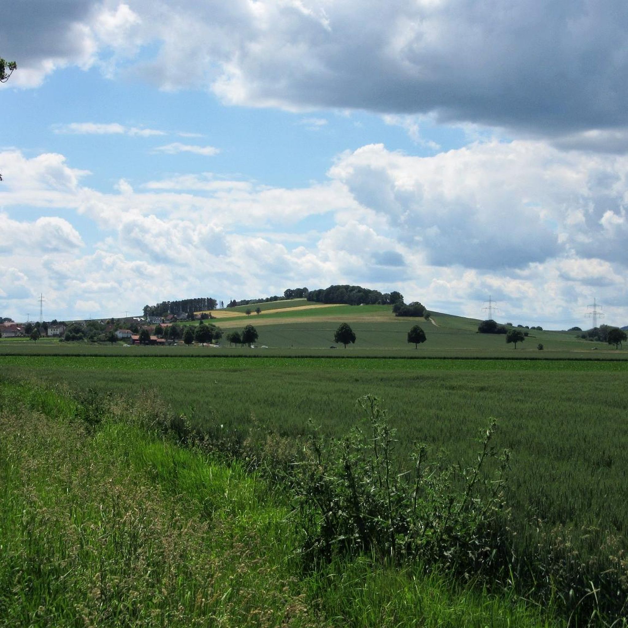
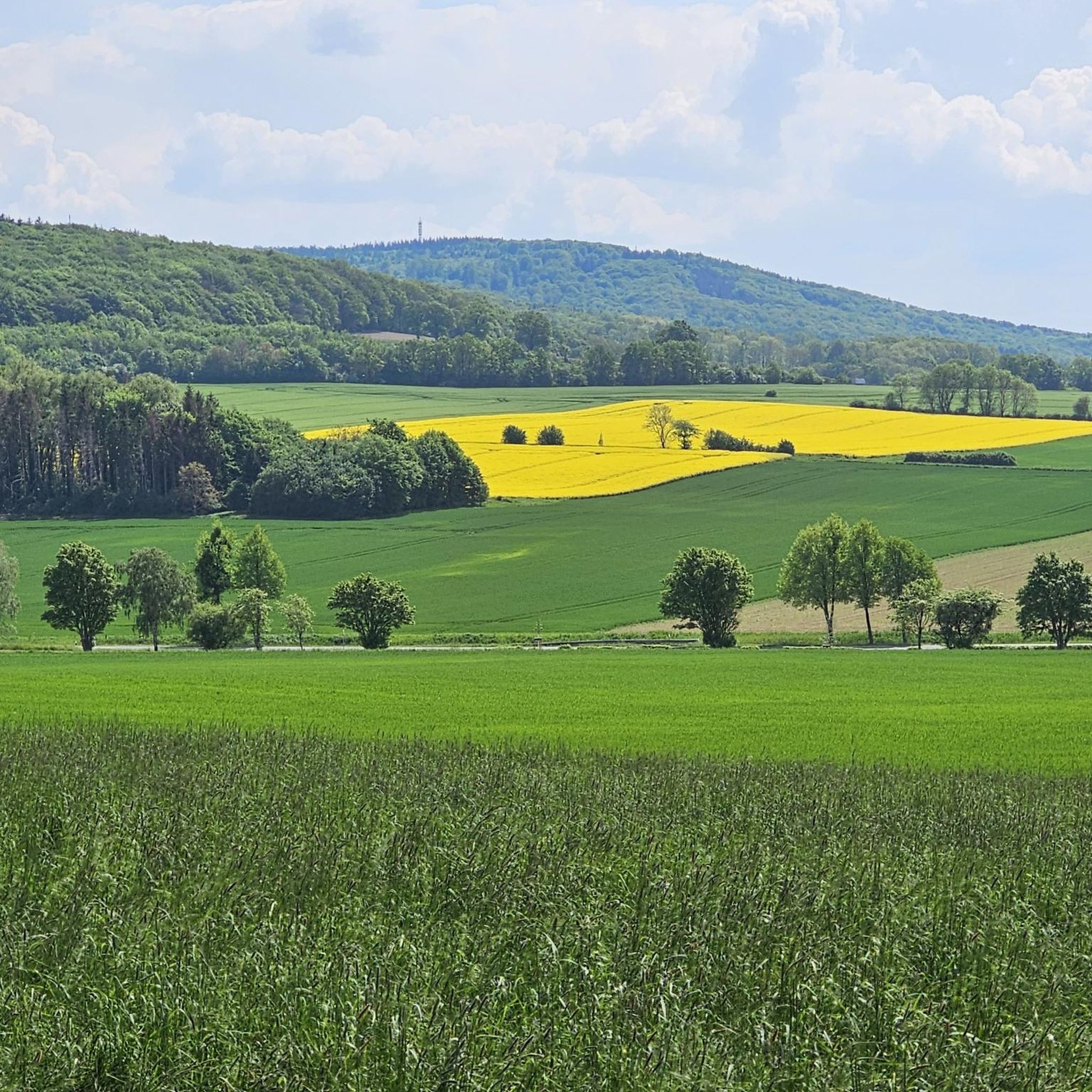
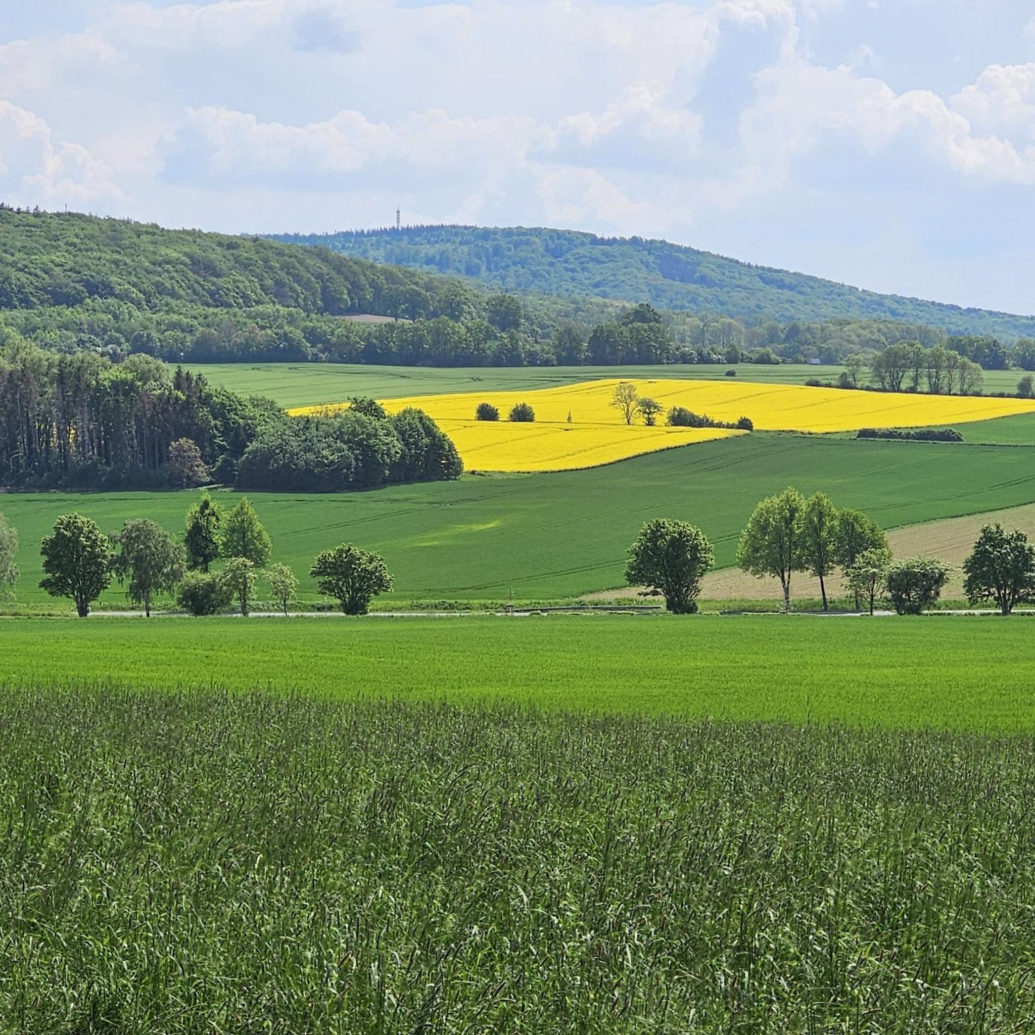
The Rodenberger Höhe rises west of Heisterburg Castle at 322 m above sea level. It is a trigonometric point for the national survey and the site of a tower with telecommunications equipment. About 600 meters northwest of this spot – still in the parcel of land of the same name – is the Rodenberger Hütte, which is why many Deister hikers also call it the "Rodenberger Höhe." As early as the reign of Kaiser Wilhelm II, the Hanover Tourist Association built a shelter here from rubble stone with a flat roof serving as an observation platform, offering a magnificent view of Lake Steinhude, the Süntel Valley, the Süntel, and the Bückeberge Mountains. Today, the view is limited by the fast-growing trees below the hut and will surely soon become overgrown unless the responsible Saupark (Springe) Forestry Office takes countermeasures. Source: https://guentherklapproth.hier-im-netz.de/nachtrag_5_rodenberger_hoehe.html
1
0
The Rodenberger Höhe rises to the west of the Heisterburg at 322 m above sea level. It is a trigonometric point for the national survey and the location for a tower with telecommunications equipment. About 600 meters northwest of this point you will find the Rodenberger Hütte - still in the parcel of land of the same name - which is why many Deister hikers also call it the "Rodenberger Höhe". As early as the reign of Kaiser Wilhelm II, the Hanover Tourist Association had built a shelter here out of quarry stone with a flat roof that served as a viewing platform, from which a wonderful view of the Steinhuder Meer, Sünteltal, Süntel and Bückeberge was possible. Source: https://guentherklapproth.hier-im-netz.de/nachtrag_5_rodenberger_hoehe.html
2
0

Although Rapunzel has no historical connection to the Wilhelmsturm, on which this elaborately worked carving stands, it is definitely appropriate for this fairy tale. A nice rest area with an information board about the Wilhelmsturm, but also about the fairy tale Rapunzel, which is also enhanced with food and drinks from the kiosk on Sundays.
2
0
The Wilhelmsturm was built in 1846 by Prince Georg of Schaumburg-Lippe for the purpose of surveying the land. However, it is also reported that the tower was merely a job creation measure. Today, the 25 m high tower is an observation tower, but it is only open on Sundays and public holidays. But then you get a worthwhile view, not in all directions, but towards Petershagen and the Wiehen Mountains, as well as the Weser Mountains. There is also a kiosk at the tower with small items such as drinks and bratwurst.
3
0
The Rodenbergerhöhe rises to the west of the Heisterburg at 322 m above sea level. It is a trigonometric point for national surveying and a location for a tower with telecommunications facilities. About 600 meters north-west of this point you will find - still in the field of the same name - the Rodenberger Hütte, which is why many Deister hikers also call it "Rodenbergerhöhe". Source: http://www.guentherklapproth.privat.t-online.de/nachtrag_5_rodenberger_hoehe.html
2
0
The communications tower Barsinghausen (internal: radio transmission point Barsinghausen 2) is a 150 meter high communications tower of Deutsche Funkturm. It is located on the 361 meter high Great Neck within the Deister and was put into operation in 1969. Structurally, it is an FMT 2 type tower. Radio programs are broadcast from here in addition to non-public directional radio. Source: https://de.wikipedia.org/wiki/Fernmeldeturm_Barsinghausen
5
0
The Rodenbergerhöhe rises to the west of the Heisterburg at 322 m above sea level. It is a trigonometric point for national surveying and a location for a tower with telecommunications facilities. About 600 meters northwest of this point you will find the Rodenberger Hütte - still in the parcel of the same name - which is why many Deister hikers also refer to it as "Rodenbergerhöhe". Already during the reign of Kaiser Wilhelm II, the Hanover Tourist Association had built a shelter here from rubble stones with a flat roof serving as a viewing platform, from which a magnificent view of the Steinhuder Meer, Sünteltal, Süntel and Bückeberge was possible. Source: http://guentherklapproth.homepage.t-online.de/nachtrag_5_rodenberger_hoehe.html
3
0

komootモバイルアプリでインスピレーションを得よう


さらに探索
これらのガイドでさらに素晴らしい頂上を見てみましょうバートネンドルフでの:
