ゼクサウの絶景の山頂・トップ20
絶景を目指して登るのであれ、達成感のために登るのであれ、山頂を訪れることで、ゼクサウの美しい自然をもっと満喫することができます。20
もの選択肢の中から、制覇する山頂を決めるのは簡単ではありません。スムーズに次の冒険で目指す山頂を選べるように、ゼクサウの素晴らしい山頂をこのガイドにまとめました。
最終更新日: 8月 30, 2026
カンデル山頂と展望台
ハイライト • 山頂
翻訳を表示中
役立つ情報 は

ロスコプフ展望塔
ハイライト • 展望台
翻訳者 Google •
役立つ情報 は

今すぐサインアップして、こんな場所を発見しよう
最高のシングルトラック、ピーク、その他のエキサイティングなアウトドアスポットのおすすめを受け取ろう。
無料新規登録
ヒューネルゼーデル展望塔とグリルエリア
ハイライト • 展望台
翻訳者 Google •
役立つ情報 は

大カンデル岩
ハイライト • 登山
Access via the "Kandelour" and the ladies 'path from below or via the ladies' path from above.
翻訳者 Google •
役立つ情報 は


無料アカウントで今日から始めよう
次の冒険が待っています。
ログインまたは登録
コミュニティからのヒント

The Hünersedel is a mountain in the central Black Forest with a height of 744.3 m above sea level. Its name means "giant's seat". In a document from the year 926, the mountain is called "Stoufinberc". It lies in the border area of the two municipalities of Schuttertal and Freiamt. The summit of the mountain is at the northern end of the municipality of Freiamt. The river Schutter rises at the Hünersedel. The Hünersedel was the highest mountain in the old district of Lahr. From the tower you have a gigantic view.
4
0

It is a popular area for climbers and has numerous routes of most difficulty levels. The rock quality is excellent. The routes are mostly well secured. The return to the entrances is done by abseiling 2 x 20 m or 1 x 30 m. Please abseil considerately in "oncoming traffic". The large Kandel rock can be reached via the Kandel summit. There are sufficient parking spaces. There is also a bus from St. Peter to the Kandel. From the summit it is about a 20-minute walk, please wear good shoes, via the Damenweg (blue diamond) to the climbing area.
7
0

a very nice lookout tower. Very suitable for taking a break, with a barbecue area.
5
0

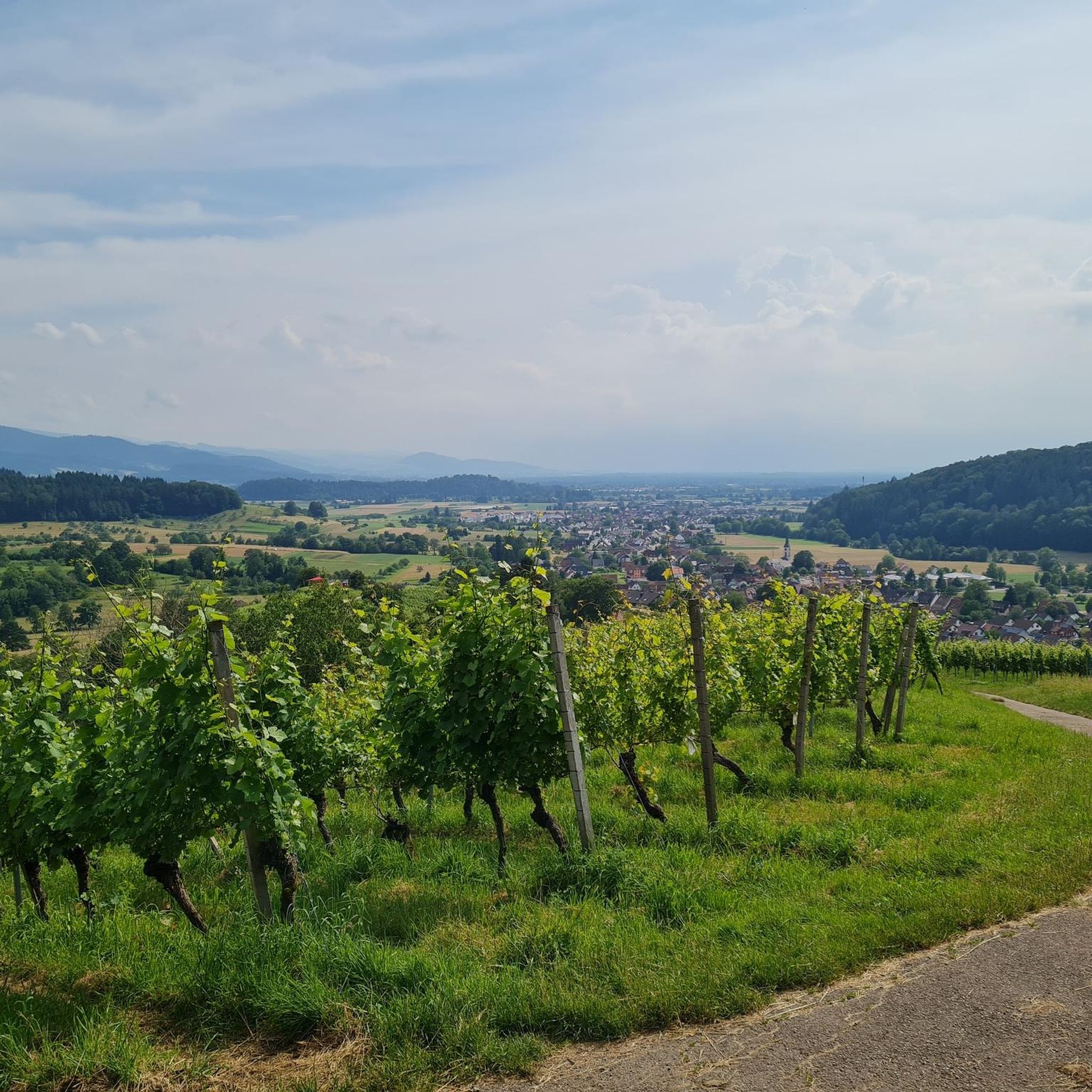
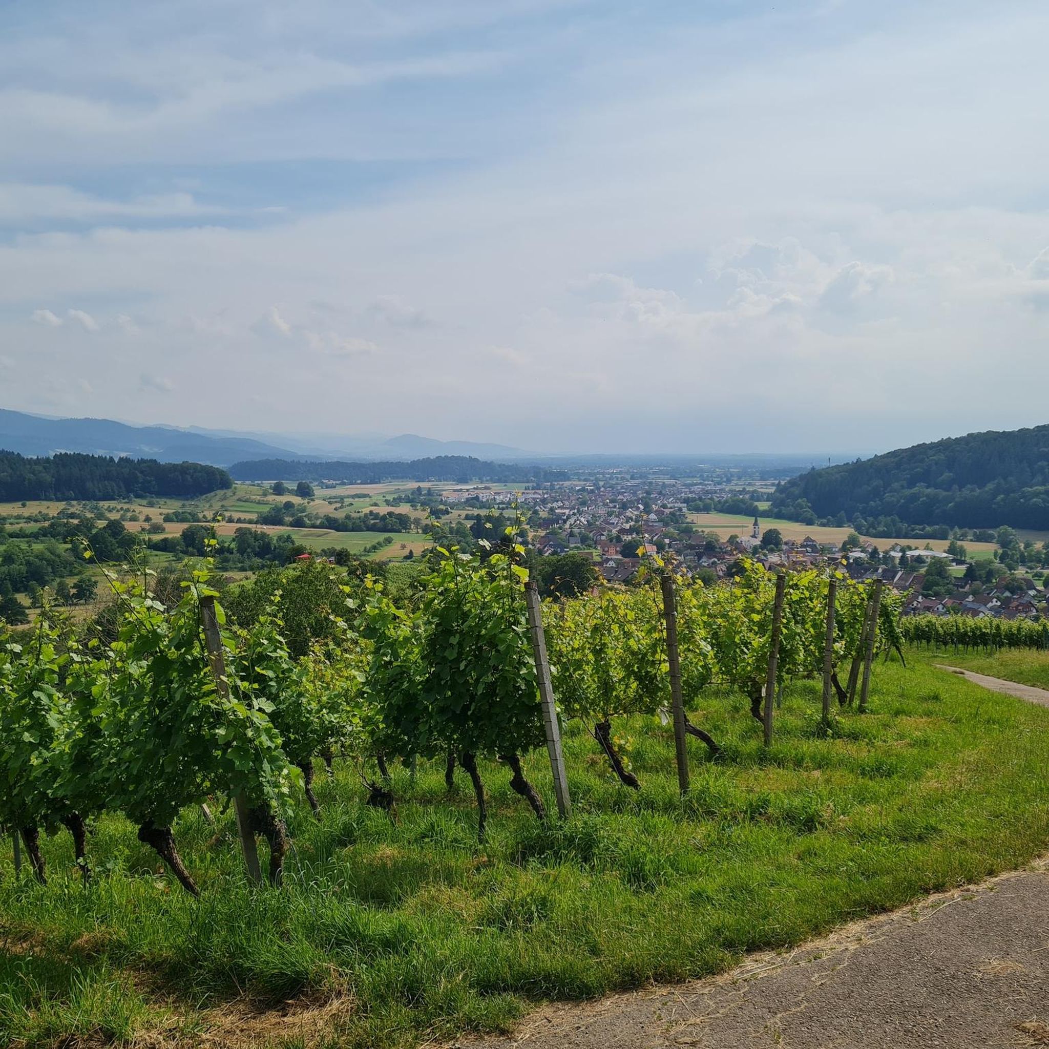
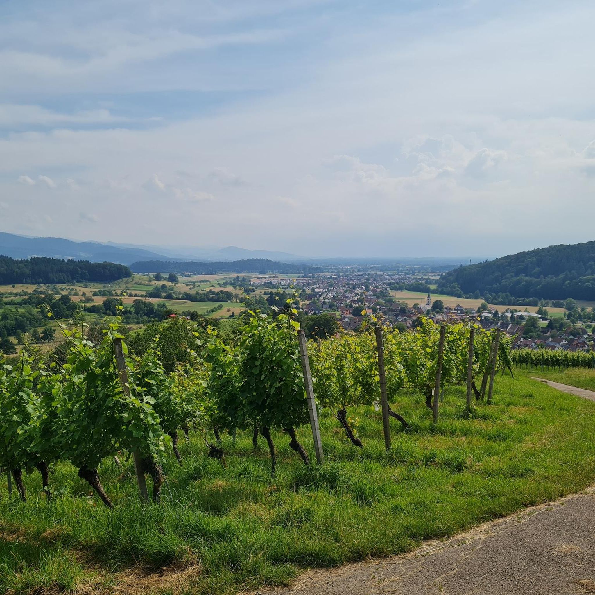
If the weather plays along, you have a great view of the Rhine Valley and the Vosges, and you can also see the Alps from the Kandel (but not quite as well as from the Belchen).
6
1

It stretches upwards between the surrounding valleys, rising like a pyramid from the Rhine plain: The Kandel, at 1,241 meters, is the local mountain of the ZweiTälerLand region and one of the most imposing peaks in the southern Black Forest – a true mountain of strength. It's no wonder, then, that numerous myths and legends surround this summit. It is also popularly known as the Blocksberg of the Black Forest. Unique panoramic views of the Black Forest, as far as the Vosges Mountains and the Alps, along with countless outdoor sports opportunities and welcoming restaurants, make this mountain one of the Black Forest's top destinations. Source: https://www.schwarzwald-tourismus.info/attraktionen/kandel-65189a0447
6
1

An unexpected alpine highlight that should not be missed on the way to or from the Kandel. For experienced climbers, the crags can be climbed without equipment, the climber takes the steep wall on the valley side.
5
0


You should still walk the few meters to the summit from here.
6
0

komootモバイルアプリでインスピレーションを得よう


さらに探索
これらのガイドでさらに素晴らしい頂上を見てみましょうゼクサウでの:
