ハンミンケルンのおすすめライド
4.4
(121)
1,537
ライダー
159
ライド
ハンミンケルン周辺でのロードバイクライドをお考えですか?komootはハンミンケルン周辺のあらゆるロードバイクライドを評価し、人気ルートを厳選しました。ハンミンケルン周辺の各ロードバイクルートの詳細をご覧になり、自分に合ったルートを見つけてください。
最終更新日: 9月 16, 2026
4.2
(20)
79
ライダー
35.0km
01:27
80m
80m
初級者向けロードバイクライド. あらゆるフィットネスレベルに適しています。 全般的に舗装状態が良好で走行しやすい道です。
5.0
(1)
46
ライダー
51.6km
02:04
70m
70m
中程度のロードライド. ある程度のフィットネスレベルが必要です。 全般的に舗装状態が良好で走行しやすい道です。

4.8
(4)
29
ライダー
54.3km
02:51
130m
130m
中程度のロードライド. ある程度のフィットネスレベルが必要です。 ツアーの一部に、未舗装のため走行が難しい箇所があるかもしれません。
4.1
(7)
46
ライダー
36.3km
01:27
60m
60m
初級者向けロードバイクライド. あらゆるフィットネスレベルに適しています。 全般的に舗装状態が良好で走行しやすい道です。
4.9
(10)
88
ライダー
37.7km
01:32
60m
60m
初級者向けロードバイクライド. あらゆるフィットネスレベルに適しています。 全般的に舗装状態が良好で走行しやすい道です。
さらに多くのルートや他のユーザーのおすすめ情報を確認できます。
すでにアカウントをお持ちですか?
おすすめのツアーは他のkomootユーザーが実際に経験した何千ものアクティビティに基づいています。
無料アカウントで今日から始めよう
次の冒険が待っています。
ハンミンケルン周辺で人気
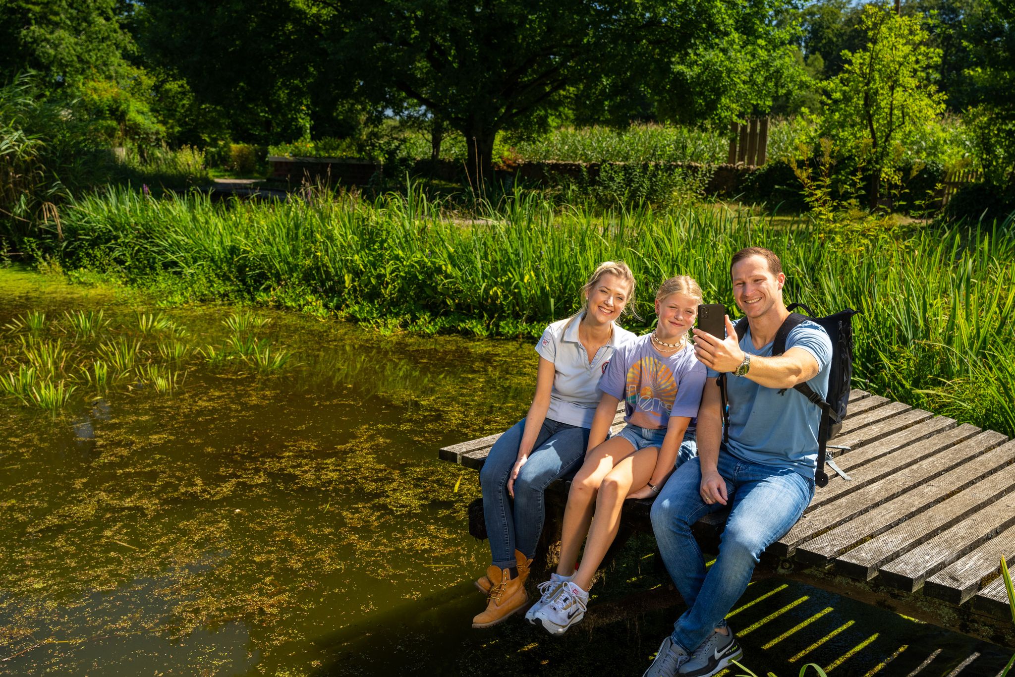
Hiking and discoveries – family walks in the Hohe Mark Nature Park
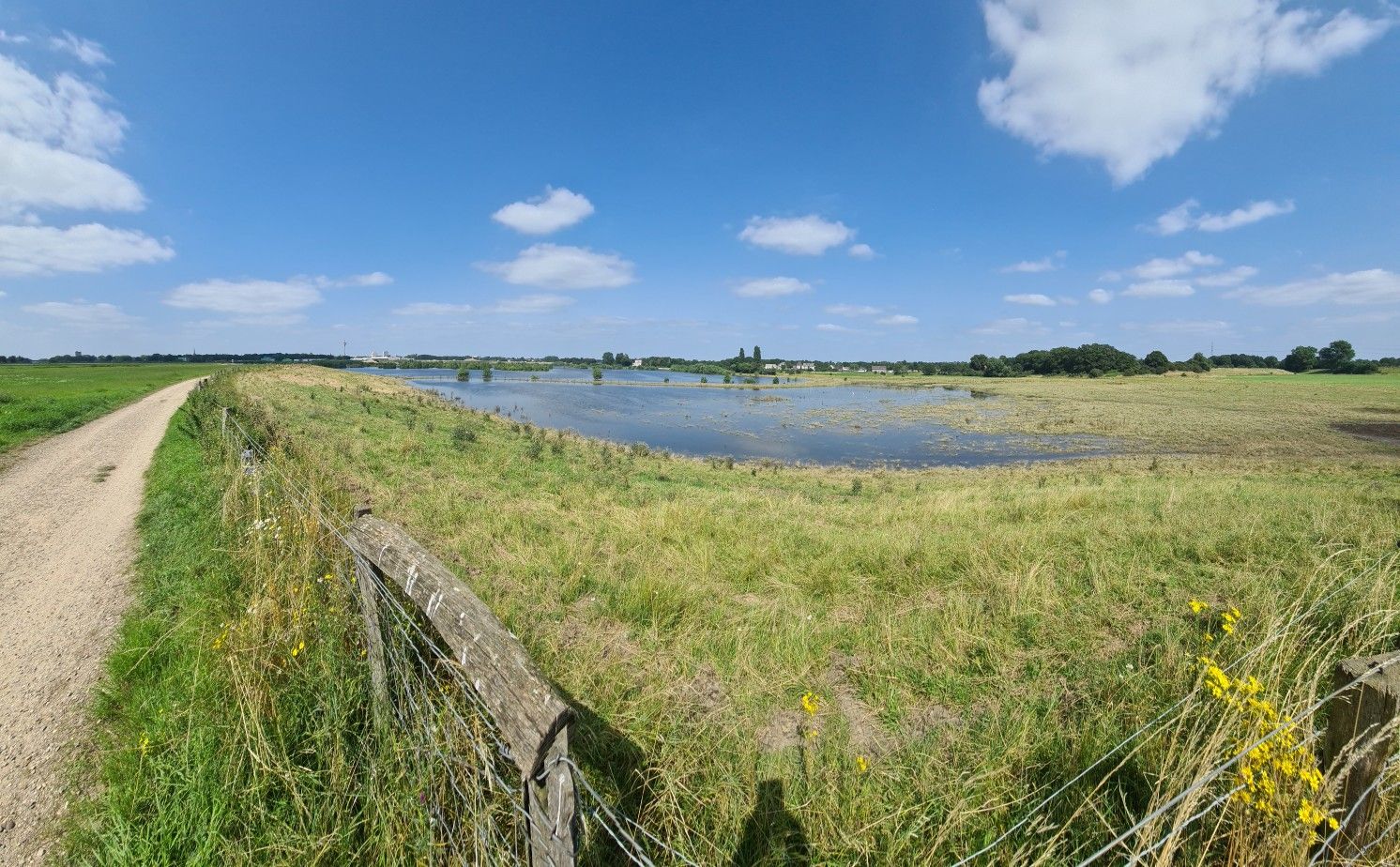
道は目的です - 下リーンルート
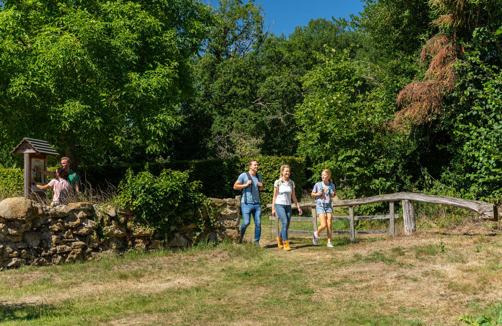
LandStreifer – circular hiking trails to Germany’s Hohe Mark Steig
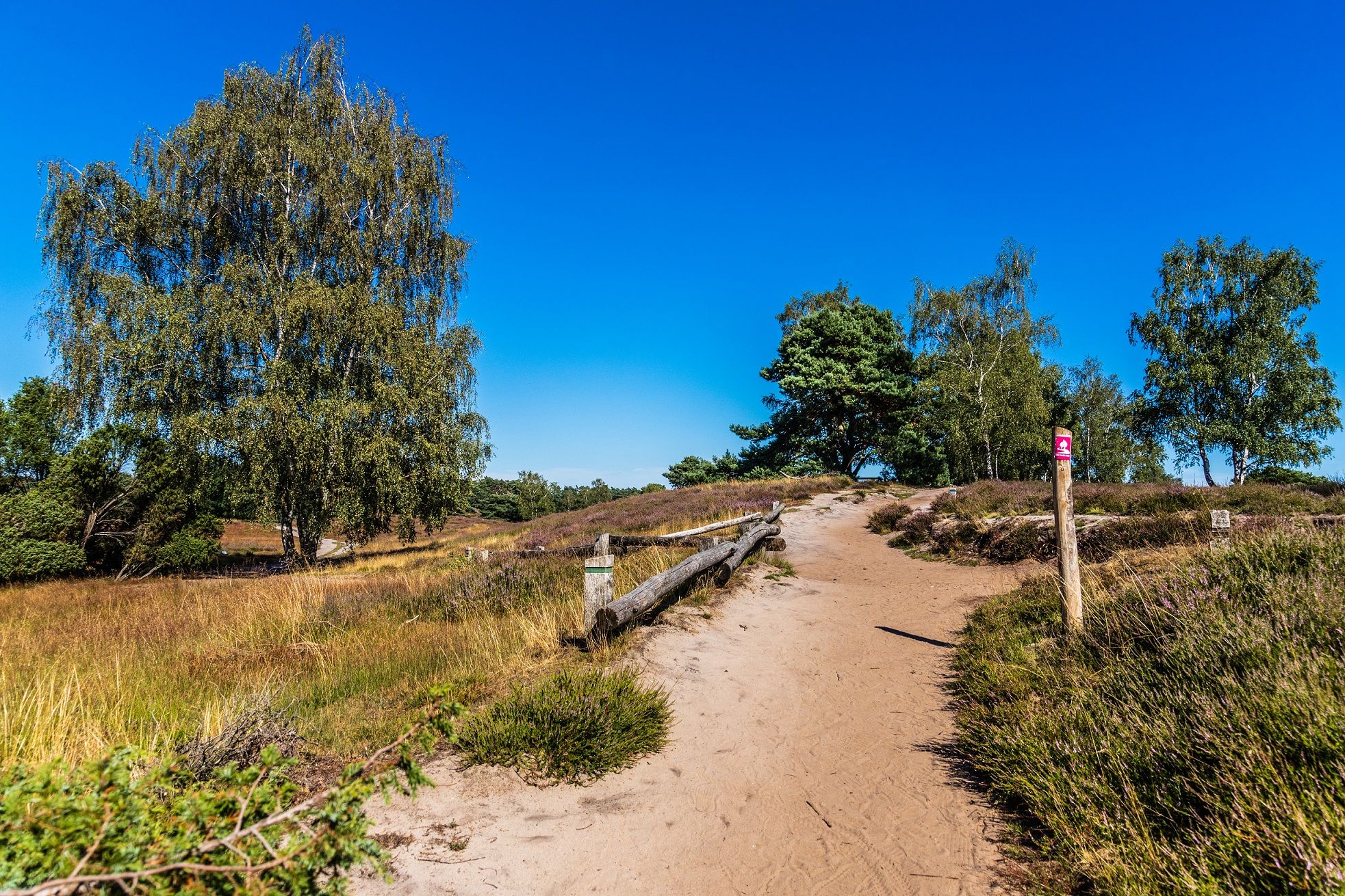
あなたの自然とのきずな — ドイツのHohe Mark Steig
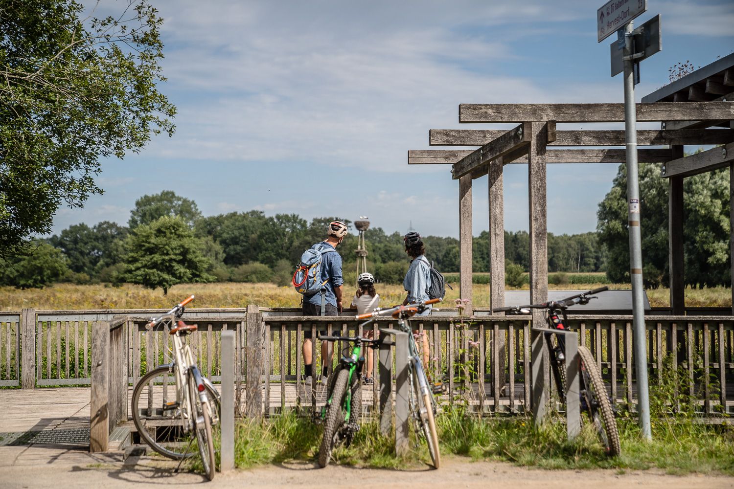
Day Tours on the Hohe Mark cycle route
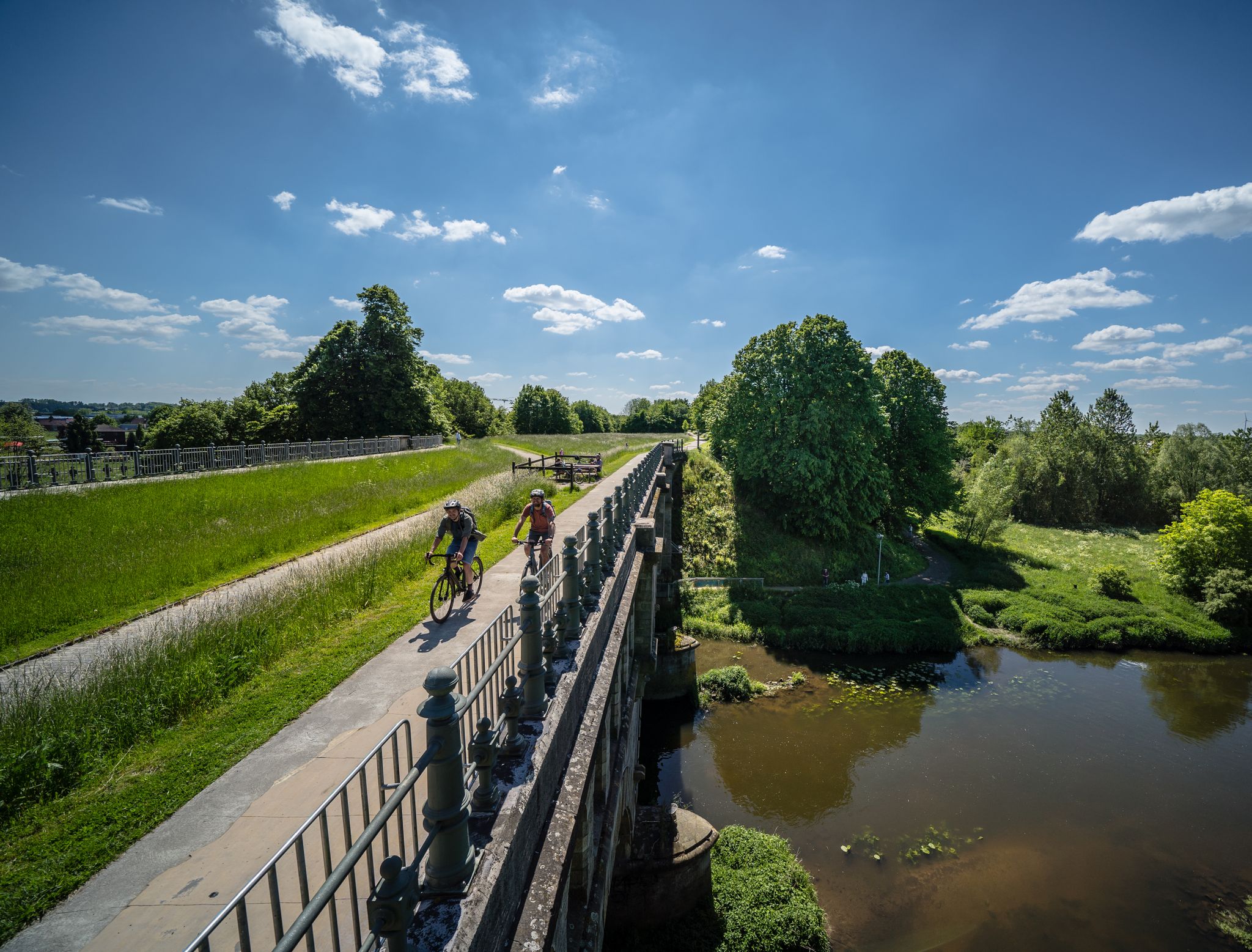
Hohe Mark RadRoute – あなたのエクストラスパー Natur
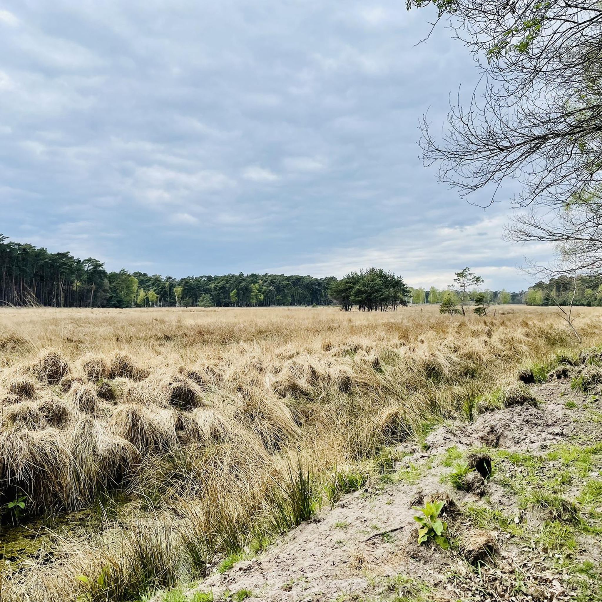
ハンミンケルンでのハイキング
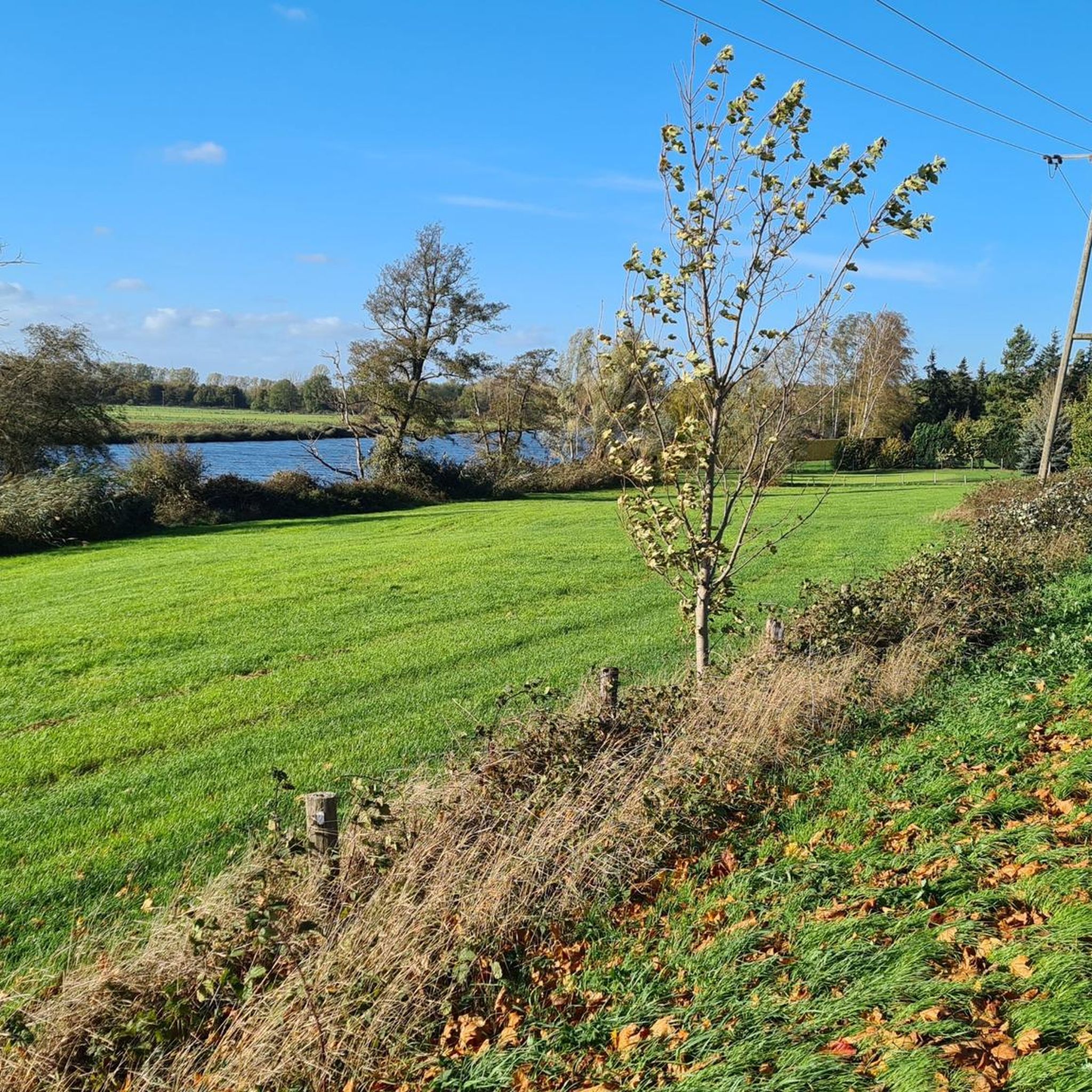
ハンミンケルンでのサイクリング
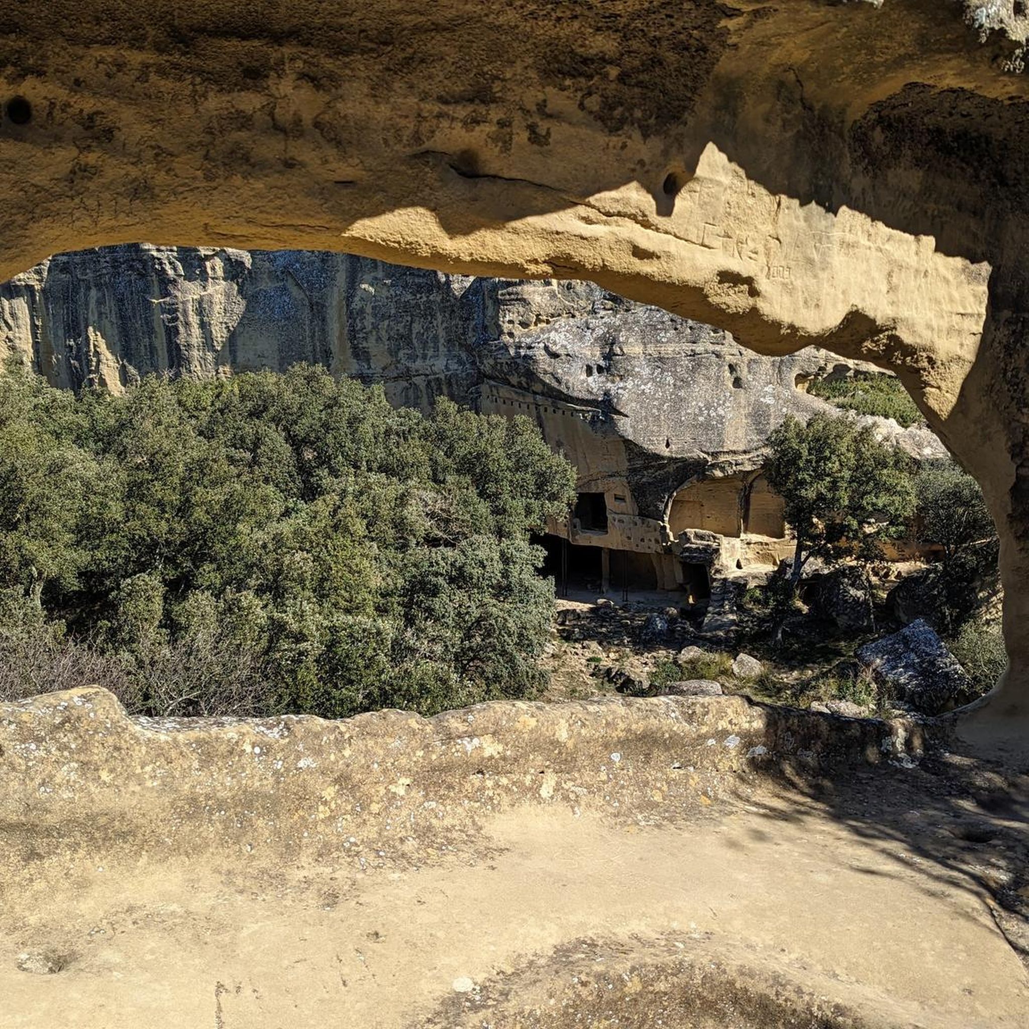
ハンミンケルンでののグラベルライド
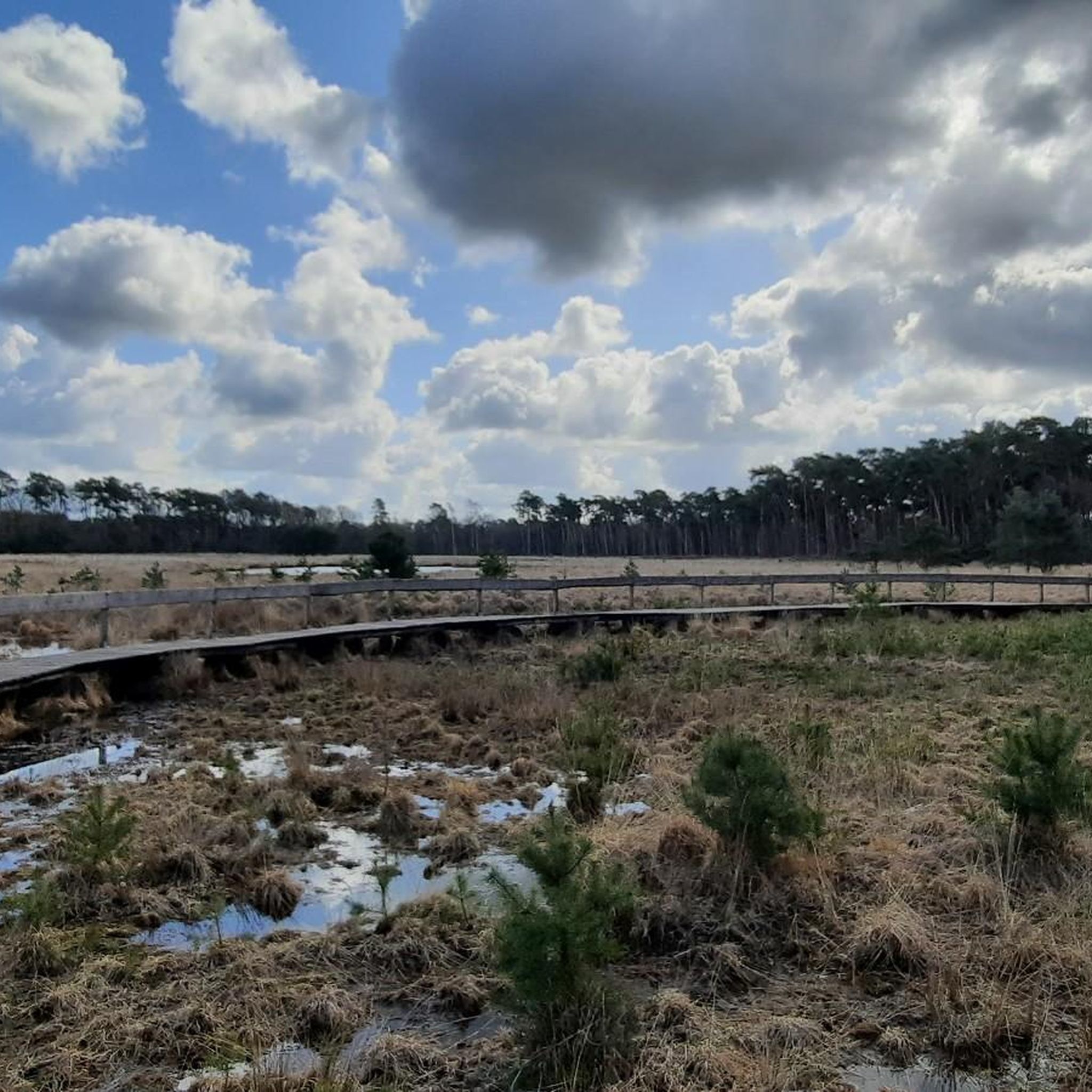
ハンミンケルンのランニングコース
ハンミンケルンでのの他の冒険


コミュニティからのヒント

少し目立たず、道路からはよく見えません。しかし、少し立ち寄る価値はあります。
0
0


Rough asphalt, a bit uneven, but only 1 km long. Shouldn't be a problem.
1
0
there you can still have something to eat and drink
1
0
Best bike path in the area
1
0

This "bauKULTURstelle" (building culture center) in the Westphalian village of Dingden originates from a civil society initiative. The renovation of the two old buildings has created a vibrant town center with a vibrant program: https://baukulturstelle.de
2
0

This stretch brings you very close to the Rhine. It's not in the best condition (2025), but it's still rideable on a racing bike if you hold your teeth tight 😅
1
0

In 2001, for the 25th anniversary of the Dingden local history association, this draw well was donated to the NRW Foundation and the Nabu. At the inauguration, Wendelin Haverkamp named the draw well "Anton". Anton van Stegen was on the board of the Dingden local history association for many years and built this well. He still feels responsible for the draw well and regularly visits the well to check that everything is in order. The wood of the swinging tree (previously always made of oak) also has to be replaced every 5 years or so. Although Mr van Stegen would have liked to try it out with an acacia to see if it might be more durable. (Source: Bocholter Borkener Volksblatt, BBV)
5
0
ハンミンケルンでのの人気観光スポット

komootモバイルアプリでインスピレーションを得よう


さらに探索
他の地域の最高のロードサイクリングルートを見てみましょう。
