ハレ(ヴェスト)のおすすめMTBライド
4.3
(153)
534
ライダー
63
ライド
MTB-Fahren rund um Halle (Westf.) bietet abwechslungsreiches Gelände im Teutoburger Wald, das sich durch unterschiedliche Höhenlagen und eine Mischung aus Mergel, Kalkstein und Sandstein auszeichnet. Die südlichen Hänge der Region bieten anspruchsvolle Routen, während die tiefer gelegenen Gebiete eine sanftere grüne Landschaft bieten. Von erhöhten Punkten aus können Radfahrer Panoramablicke auf die Ravensberger Region und die Münsterländer Tiefebene genießen. Das Gebiet verfügt über ein gut ausgebautes Wegenetz, das für verschiedene Schwierigkeitsgrade geeignet ist.
Die besten Mountainbike-Trails rund um Halle (Westf.)
…最終更新日: 7月 18, 2026
4.1
(7)
22
ライダー
34.1km
02:46
580m
580m
中程度のマウンテンバイクライド. ある程度のフィットネスレベルが必要です。 あらゆるスキルレベルに適しています。
4.6
(22)
100
ライダー
32.5km
03:00
680m
680m
中程度のマウンテンバイクライド. ある程度のフィットネスレベルが必要です。 高度なライディングスキルが必要です。

無料新規登録
4.6
(7)
46
ライダー
50.8km
04:11
770m
770m
中程度のマウンテンバイクライド. ある程度のフィットネスレベルが必要です。 高度なライディングスキルが必要です。
4.5
(4)
20
ライダー
24.7km
02:23
590m
590m
中程度のマウンテンバイクライド. ある程度のフィットネスレベルが必要です。 高度なライディングスキルが必要です。
4.5
(15)
23
ライダー
30.2km
02:38
640m
640m
中程度のマウンテンバイクライド. ある程度のフィットネスレベルが必要です。 高度なライディングスキルが必要です。
さらに多くのルートや他のユーザーのおすすめ情報を確認できます。
無料新規登録
すでにアカウントをお持ちですか?
おすすめのツアーは他のkomootユーザーが実際に経験した何千ものアクティビティに基づいています。
無料アカウントで今日から始めよう
次の冒険が待っています。
ログインまたは登録
ハレ(ヴェスト)周辺で人気
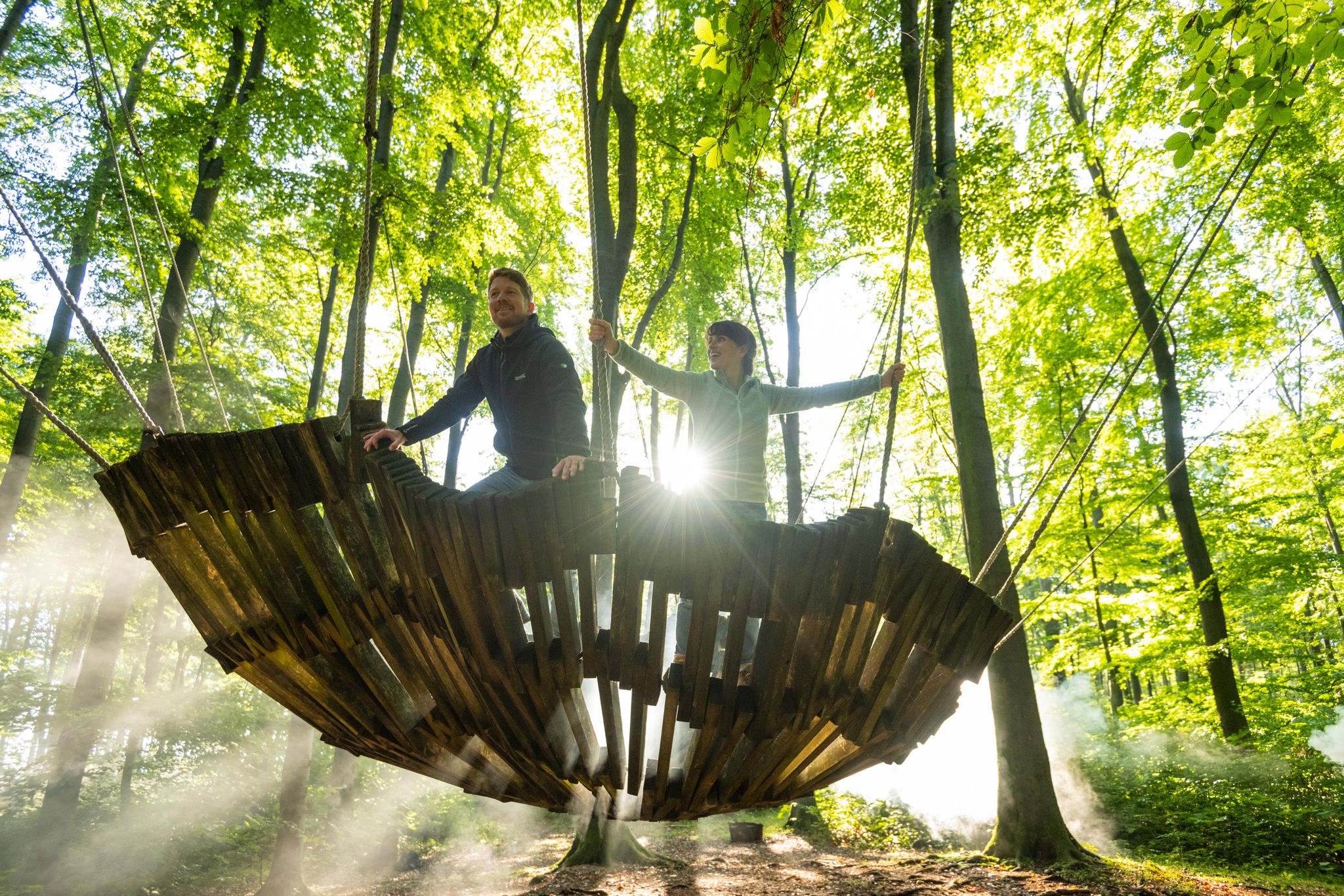
Experience art and history – Germany’s Teutoburg Forest trails
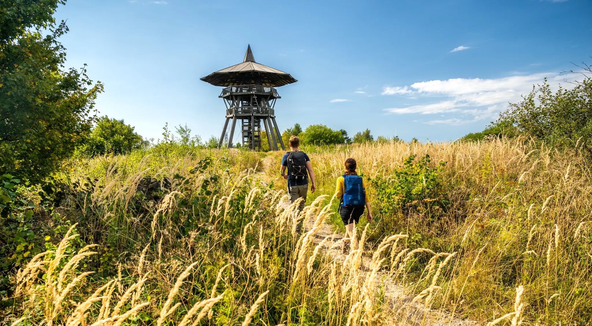
RheineからMarsburgまでの文化と自然– Hermann Heights Trail
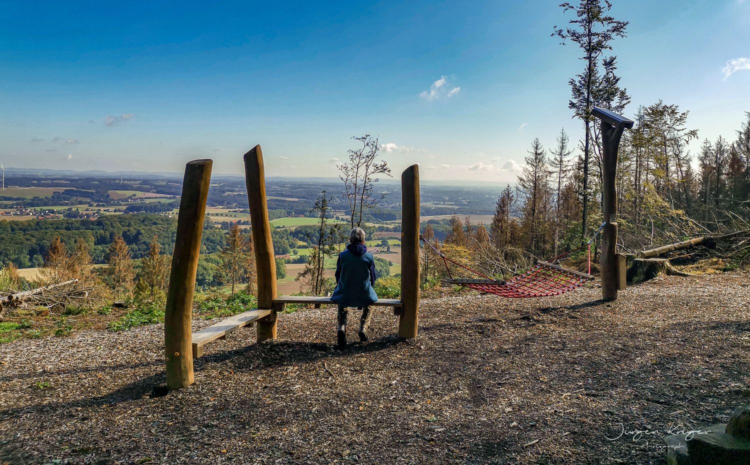
Close to the Hermann Heights Trail – 18 circulars in the Teutoburg Forest
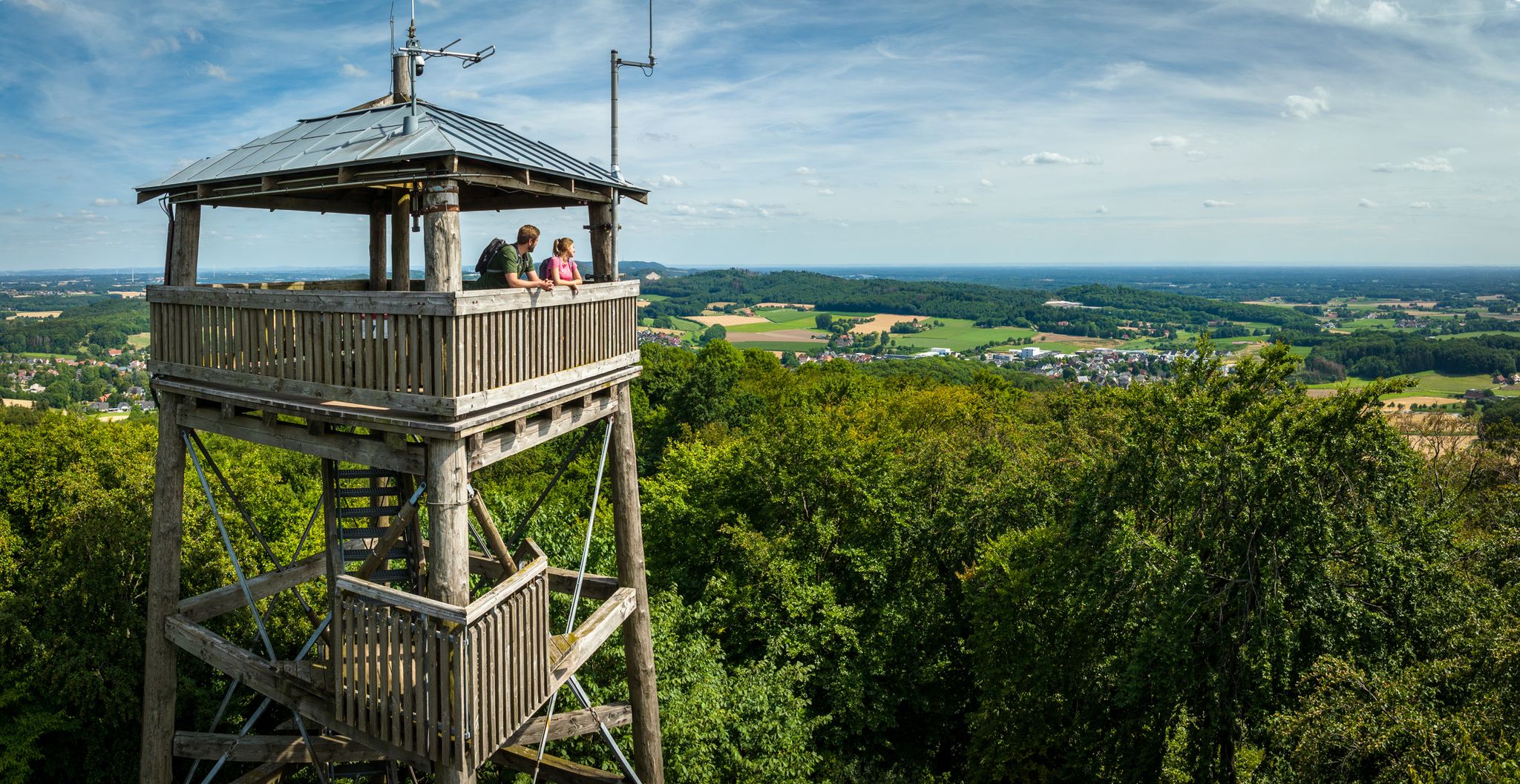
Grüne Wege statt Rote Ampeln – Aktive Auszeit im Teutoburger Wald
Qualität trifft auf Erlebnis – 5-Sterne-Wandern im Teutoburger Wald
ハレ(ヴェスト)でのハイキング
ハレ(ヴェスト)でのサイクリング
ハレ(ヴェスト)のロードバイクルート
ハレ(ヴェスト)のランニングコース

ハレ(ヴェスト)でののグラベルライド
ハレ(ヴェスト)でのの他の冒険

コミュニティからのヒント


Outward journey over field and forest paths, return route X25, which is a super trail over tree roots to Werther, mostly downhill
0
0


Trail is good to ride
0
1

If it's freezing rain and you're still sweating, you're probably standing on the Große Egge.
0
0

Short route overview: The approx. 163 km long Hermannsweg runs over the ridge of the Teutoburg Forest and 85 percent through the two nature parks “TERRA.vita” and “Teutoburg Forest/Eggegebirge”. With its mountain ridge interrupted by numerous valleys, the path offers a varied elevation with great relief Views of the Münsterland park landscape, the Westphalian Bay or towards the Weserbergland. It begins in the Münsterland park landscape in Rheine and leads over heights of 100 to 441 m to Horn-Bad Meinberg. Shortly before its end in Leopoldstal you reach 441 m The high rock group of the Lippe Velmerstot is the highest point of the tour, from where you have a wonderful view of the surrounding area. The route leads through beautiful places such as Tecklenburg, Bad Iburg, the metropolis of Bielefeld and Oerlinghausen. In addition, many historical sights and attractions line the route Route.
2
0

komootモバイルアプリでインスピレーションを得よう


さらに探索
他の地域の最高のMTBトレイルを見てみましょう。
