ツェンティング周辺のアトラクション&必見スポット - トップ20
ツェンティングには必見のスポットがたくさんあります。ハイキング愛好家やサイクリング愛好家の方は、ぜひツェンティングを探索してこのエリアにある20
の隠れたスポットを訪れてみてください。このエリアの必見スポットを確認し、次の冒険に出かける計画を立てましょう。
最終更新日: 10月 9, 2026
Brotjacklriegel(展望台は現在閉鎖中)
ハイライト • 山頂
翻訳者 Google •
役立つ情報 は

Großer Büchelsteinの山頂十字架とパノラマの眺望
ハイライト • 山頂
翻訳者 Google •
役立つ情報 は

今すぐサインアップして、こんな場所を発見しよう
最高のシングルトラック、ピーク、その他のエキサイティングなアウトドアスポットのおすすめを受け取ろう。
ワッケルシュタイン(揺れる石)
ハイライト • 自然記念物
翻訳者 Google •
役立つ情報 は

森を抜けるオエタール自転車道
ハイライト • サイクリングロード
There are beautiful bike path combinations with many (intermediate) destinations in the near and far.
翻訳者 Google •
役立つ情報 は

石造りの小さな礼拝堂
ハイライト • 自然記念物
翻訳者 Google •
役立つ情報 は

無料でサインアップして、さらに多くの観光スポットを発見しましょう ツェンティングでの。
すでにアカウントをお持ちですか?
無料アカウントで今日から始めよう
次の冒険が待っています。

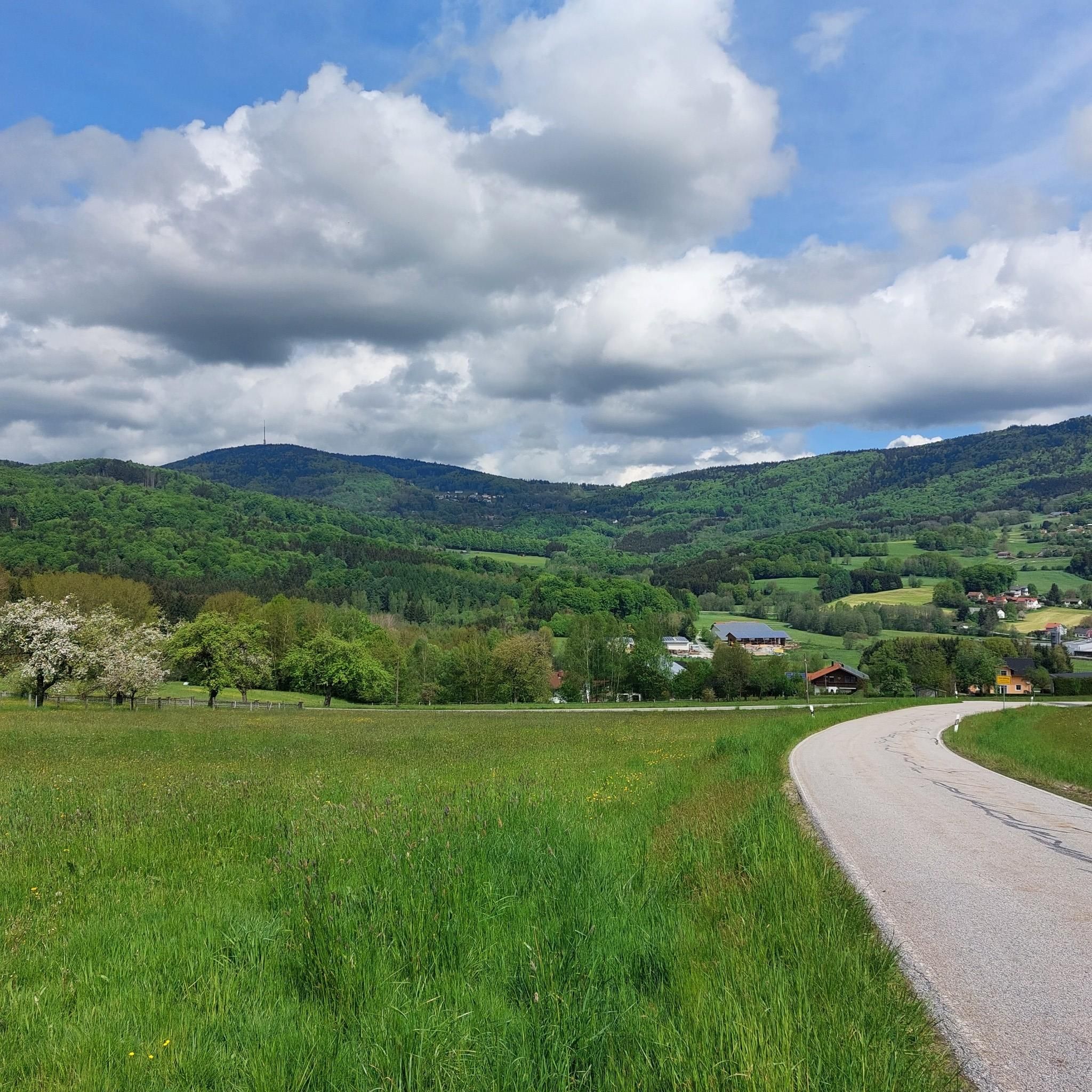
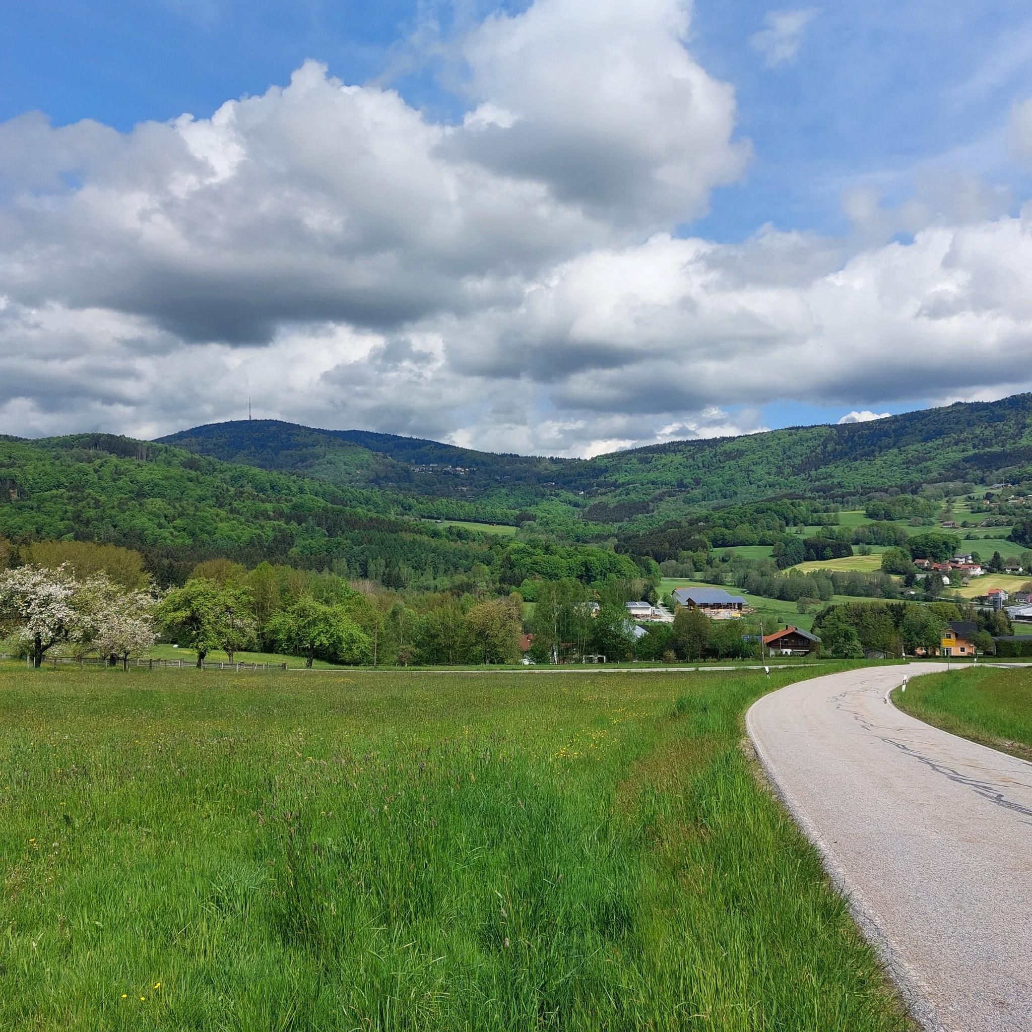
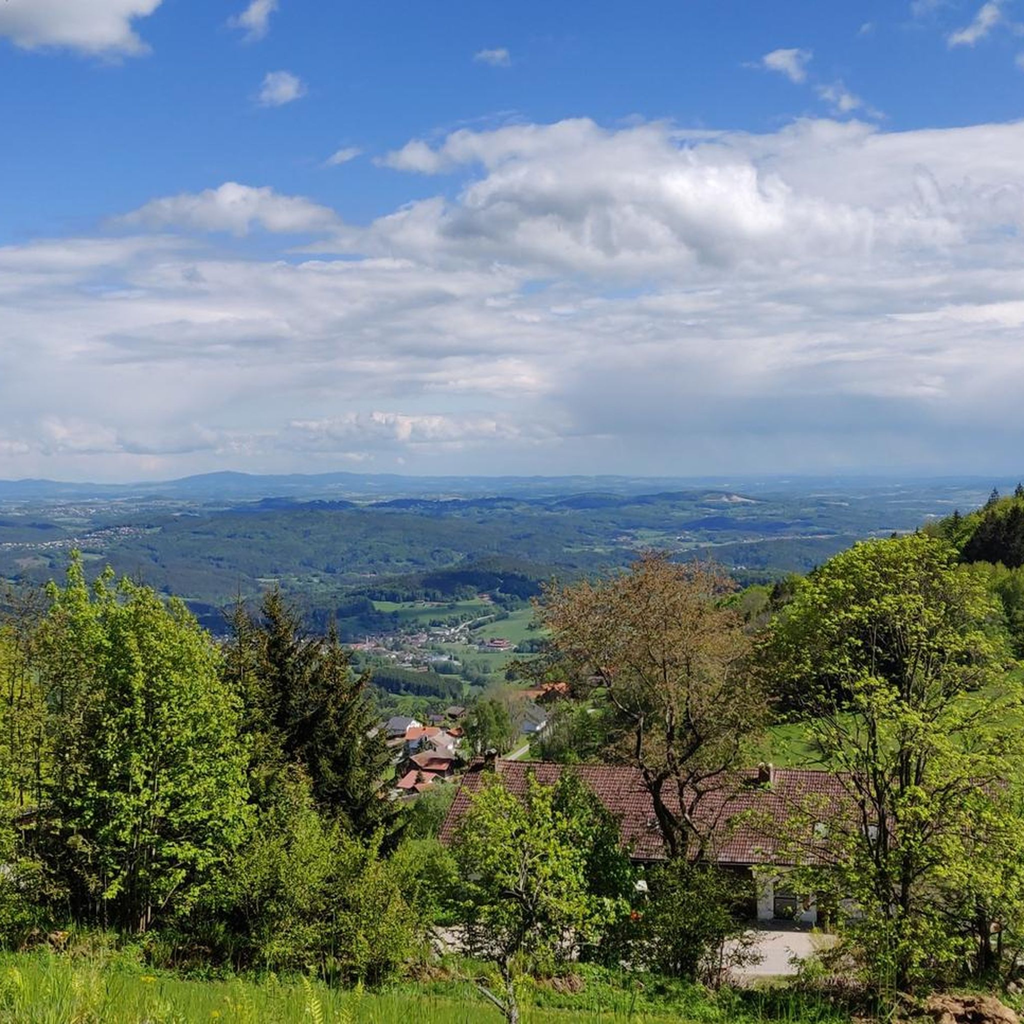
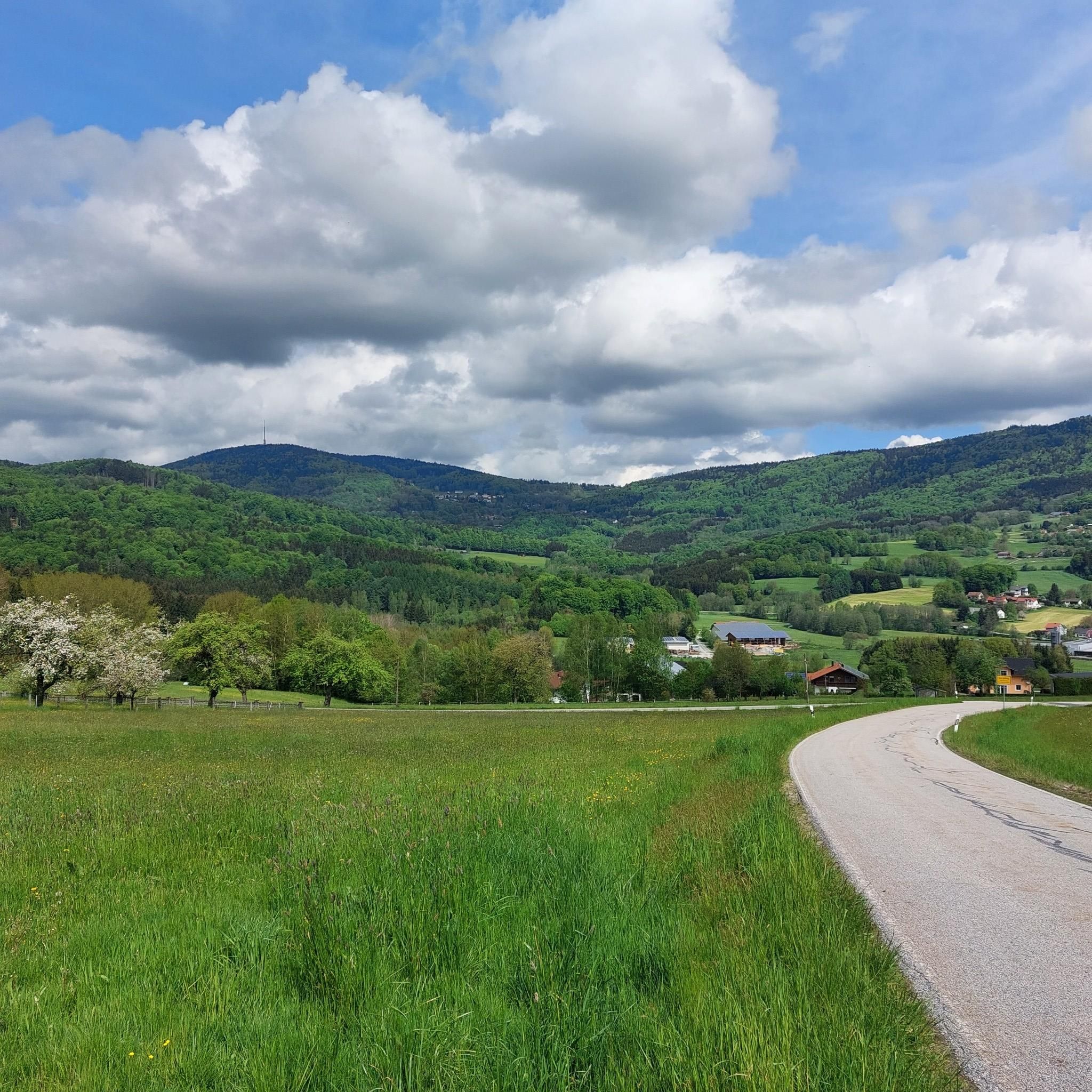

コミュニティからのヒント

地質学的考察 周辺全体に、強い球状風化作用を示す岩石の露頭が数多く見られます。第三紀には、岩石は深く風化しました。より緻密な花崗岩のドーム状の部分でのみ、風化はそれほど速く進行しませんでした。第四紀には、風化層が除去されました。無傷の花崗岩の領域だけが残りました。「シュタイネルネス・キルヒライン」付近の丸みを帯びた花崗岩のブロックからなる岩石群は、小さな空洞、ニッチ、岩の通路を形成しています。バイエルン州環境庁(LfU)。 https://www.umweltatlas.bayern.de/standortauskunft/rest/reporting/sb_geotope/generate?additionallayerfieldvalue=272R028
0
0


The starting point of the four-kilometer hike with 150 meters of elevation gain is the hiking car park in Entschenreuth (Zum Wackelstein, 94163 Saldenburg-Entschenreuth). There is also a bus stop in the village. We follow the well-signposted circular hiking trail 84 for the entire tour. From the car park, we begin the hike on a forest path toward the edge of the forest. Right at the beginning, we pass a meadow with numerous knapweeds, which bloom well into autumn. If you look closely, you can see that the bright pink blossoms are surrounded by brown, scaly bracts, which together look a bit like a pineapple. After a few hundred meters, the path branches off to the left into the forest. From here, it's a steady climb, with some very steep sections awaiting us on the way to the Wackelstein. At the edge of the forest, you can hear a veritable concert of birds, and the call and song of a coal tit mingles with the great tits. At first, the forest is particularly idyllic, with numerous pines mingling with the beeches and spruces. A closer look at the forest floor is also worthwhile, as the heather is currently in bloom here. Gradually, the path becomes steeper and steeper, and after a while, the pines give way to a beech forest with large, moss-covered stones. Once at the top, it's worth taking a detour to the right to the wobbling stone. Can you make the stone, which weighs an estimated 50 tons, wobble? It's worth trying! The information board there tells you all about the origins of such natural phenomena. After this detour, we head back west, continuing along the Red 84 trail. Now the path descends steeply and gently. After a quarter of an hour, we pass an impressive rock formation, the Stone Church. Once at the bottom, we rejoin the same forest path at the edge of the forest, which we follow back to the parking lot. https://www.bayerischer-wald.de/aktivitaeten/wandern/wandertipps/zum-wackelstein-bei-entschenreuth
3
0

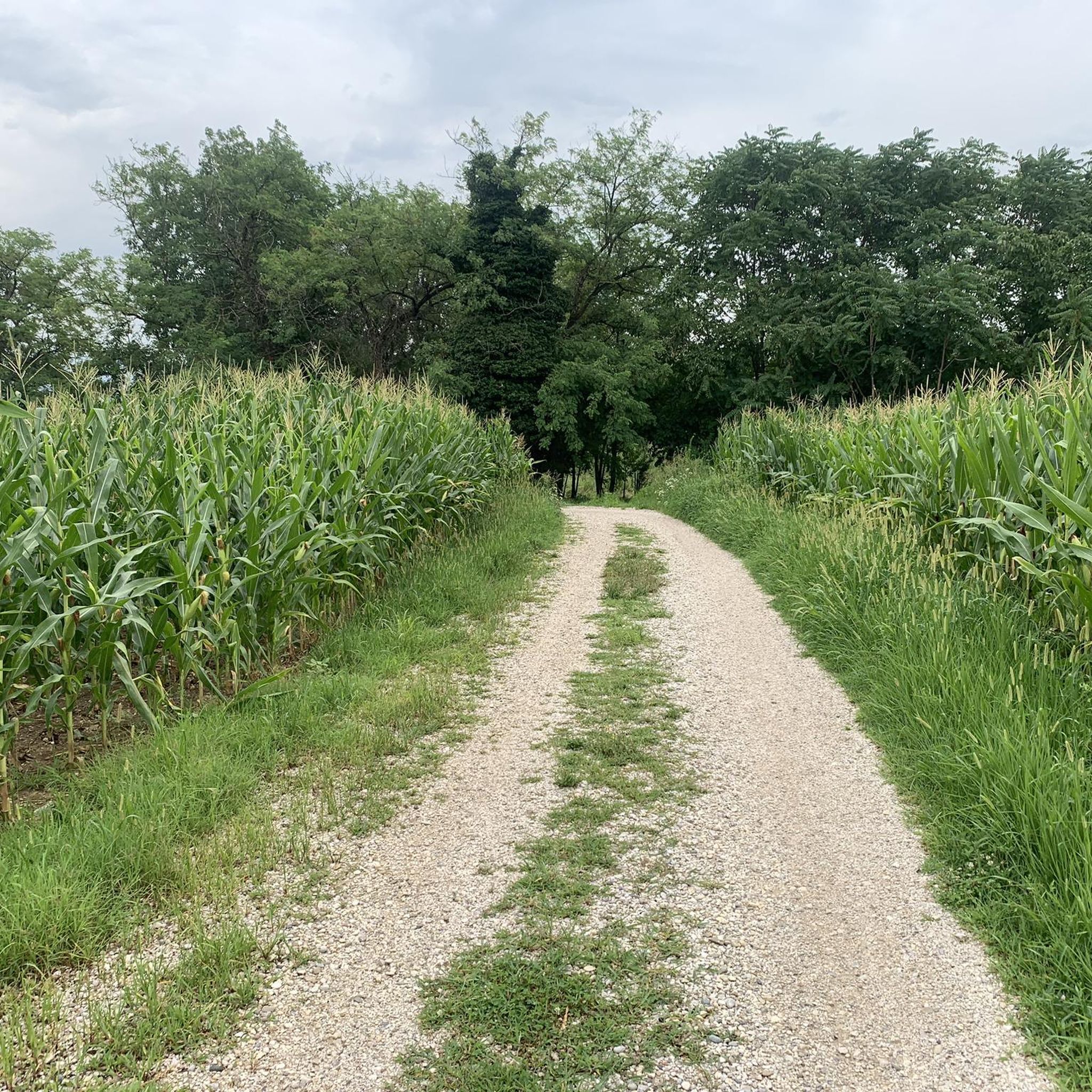
A very idyllic cycle path. If you have time and are in the area, you shouldn't miss this cycle path.
0
0
Always worth a detour for bikers or hikers
0
0

The Großer Büchelstein in the municipality of Grattersdorf rises majestically above the Sonnenwald region. With a height of 832 meters, it offers a panoramic view that extends as far as the Alps in clear weather. The summit is a popular starting point for hang gliders and paragliders, who enjoy the thermals and the spectacular views. Hikers can follow well-marked trails through dense forests and over rolling hills that unfold their own charm in every season. Source: https://region-sonnenwald.de/berge/buechelstein?task=ggvz
5
0

The Stone Church is a rock formation. The weathered rocks form towers, crevices and caves. An iron cross is attached to one such cave. Hence the name Stone Church.
1
0

The Ohetal cycle path is recommended at any time of year
2
0
ツェンティングでのの人気観光スポット

komootモバイルアプリでインスピレーションを得よう


さらに探索
まだ探しているハイライトが見つかりませんか?他の地域のトップアトラクションのガイドを見てみましょう:
