ブルッゲンの絶景の山頂・トップ7
絶景を目指して登るのであれ、達成感のために登るのであれ、山頂を訪れることで、ブルッゲンの美しい自然をもっと満喫することができます。7
もの選択肢の中から、制覇する山頂を決めるのは簡単ではありません。スムーズに次の冒険で目指す山頂を選べるように、ブルッゲンの素晴らしい山頂をこのガイドにまとめました。
最終更新日: 10月 24, 2026
アウアーベルクの聖ゲオルク教会と展望台
ハイライト • 宗教的な場所
翻訳者 Google •
役立つ情報 は

アウアーベルクと聖ゲオルク教会
ハイライト • 山頂
翻訳者 Google •
役立つ情報 は

今すぐサインアップして、こんな場所を発見しよう
最高のシングルトラック、ピーク、その他のエキサイティングなアウトドアスポットのおすすめを受け取ろう。
アウアーベルク・パノラマガストホフ
ハイライト • レストラン
翻訳を表示中
役立つ情報 は

シュナルツ山頂
ハイライト • 山頂
翻訳者 Google •
役立つ情報 は

シュナルツギプフェルへの階段道
ハイライト • トレイル
翻訳者 Google •
役立つ情報 は

無料でサインアップして、さらに多くの山を発見しましょう ブルッゲンでの。
すでにアカウントをお持ちですか?
無料アカウントで今日から始めよう
次の冒険が待っています。
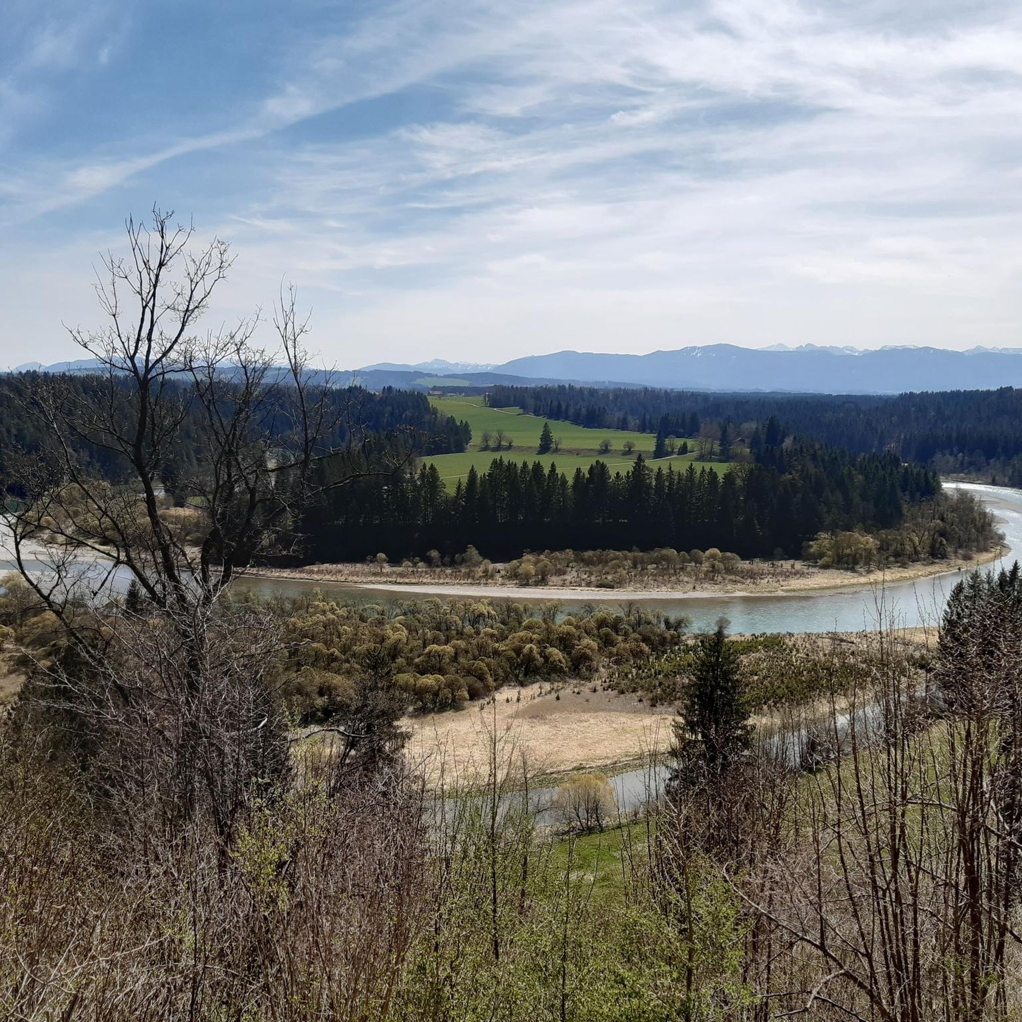
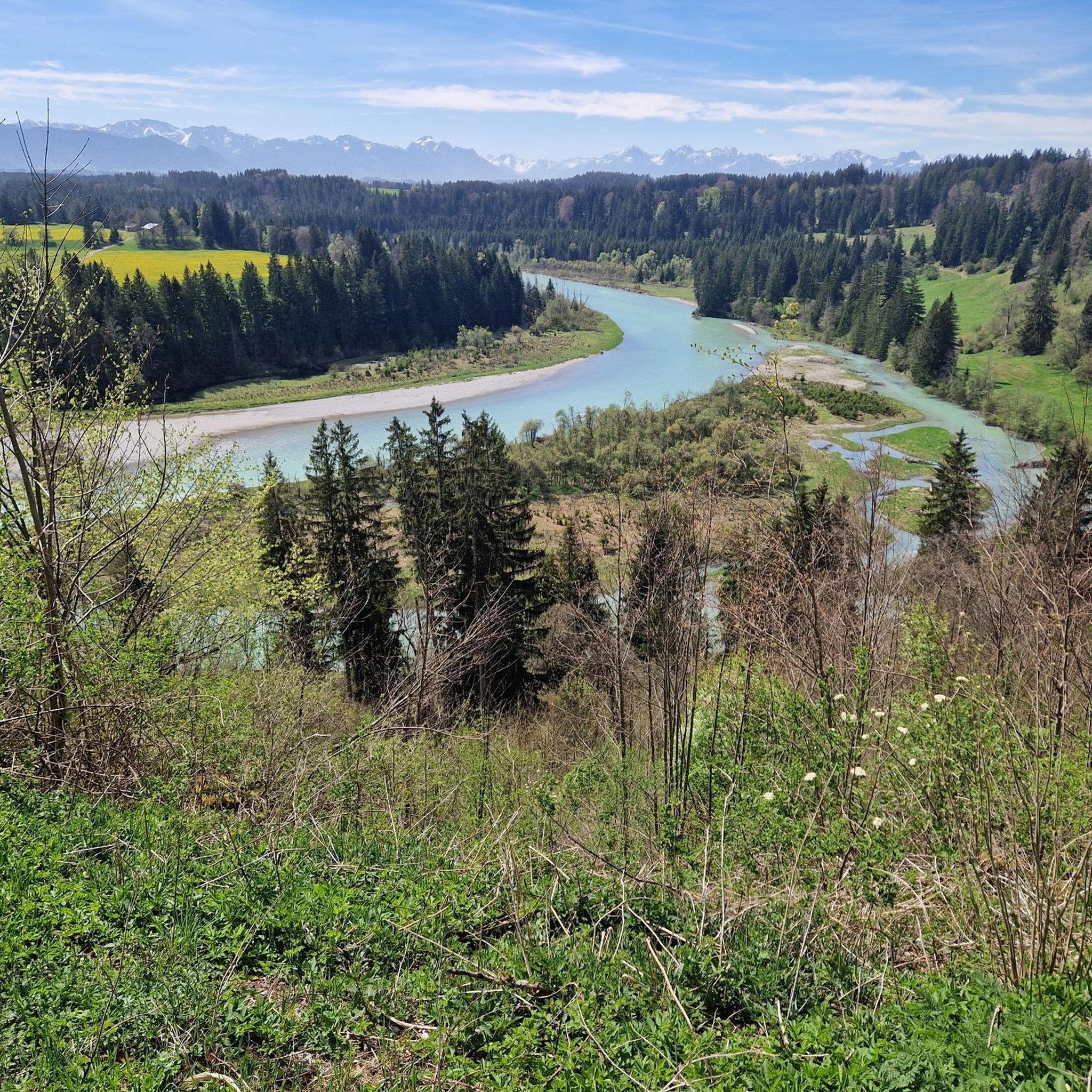

コミュニティからのヒント

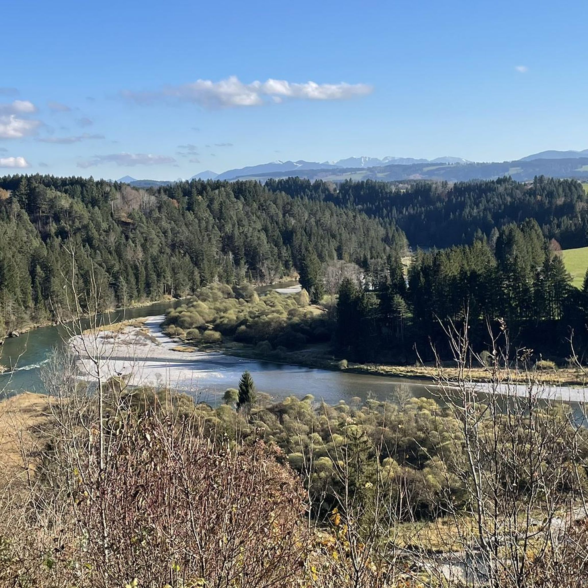
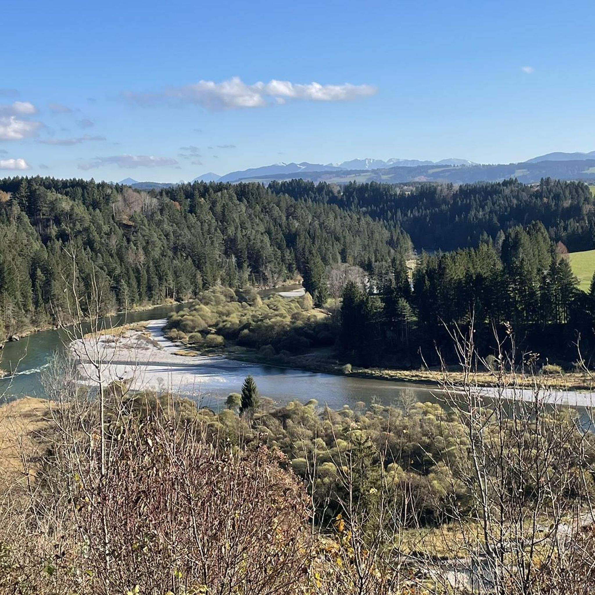
The 1055 m high Auerberg is arguably the most beautiful vantage point in the Pfaffenwinkel region. Especially on clear days with a foehn wind, it, with its medieval St. George's Church and cozy panoramic inn, is a destination for many drivers and hikers. From the church tower's viewing platform, you have a sweeping view of the entire German Alps. Source: https://www.bernbeuren.de/tourismus/kultur-/-sehenswertes/auerberg
2
0

Schnalz 901m above sea level Alpine panorama
1
0
パノラマ・ガストホフは、アウアーベルクの標高1,000メートル以上に位置しています。アルゴイ、タンハイマー、アマーガウアルプスの素晴らしい景色を望む展望台としての特性により、アウアーベルクは非常に人気のある観光地となっています。パノラマ・ガストホフは、アウアーベルクの山頂エリア、聖ゲオルク教会の真下にあります。
2
0

The Auerberg, also called the Swabian Rigi, is a 1055 m above sea level mountain in the Allgäu region, which is part of the Bavarian Alpine foothills. It is located in the municipal areas of Bernbeuren in the Weilheim-Schongau district and Stötten am Auerberg in the Ostallgäu district.
3
0

The crystal in the summit cross of Schnalz near Böbing has a complex meaning that encompasses both cultural and spiritual aspects. It symbolizes purity and clarity and is often associated with healing properties that provide comfort and protection to visitors. In addition, the crystal represents a deep connection to nature as it is a natural mineral that comes from the earth. Its use in the cross can also symbolize the energy and power of the people who climb the mountains. Overall, the crystal embodies a deeper connection to spirituality, nature and the values associated with the summit cross, thus contributing to the significance of this place as a spiritual retreat and cultural heritage.
0
0
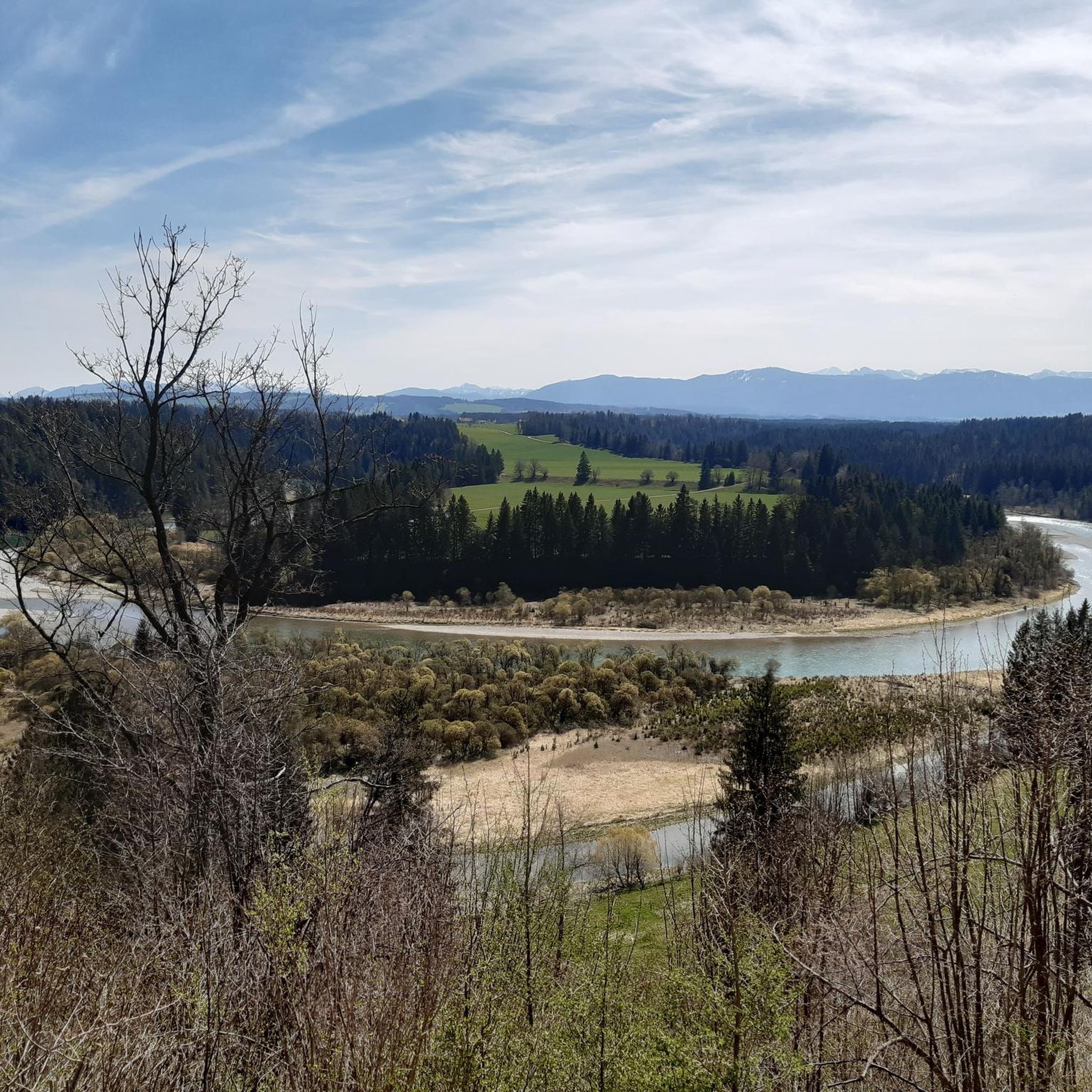
The summit cross on the Schnalz near Böbing was erected in 1950 and symbolizes the Christian faith and the village community's connection with its homeland. After a renovation in 1982, it is now a popular hiking destination and meeting point for mountain services. It offers a place of reflection and a beautiful view over the Ammer Valley and the Alpine foothills.
0
0
Once you reach the top, there is nothing better than enjoying a leisurely snack and the wonderful view of the Bavarian Alps
0
0
If you want to do the short tour to the Schnalz summit and avoid the many steps, it is best to start from Böbing. Here you go on mostly tarred access and forest paths towards the Schnalz summit. Only the last section leads through natural sections, i.e. through the forest and the meadow part, and a short section across the cow pasture. Then you reach the summit cross, and the way back to Böbing is similar - mostly tarred.
0
0

komootモバイルアプリでインスピレーションを得よう


さらに探索
これらのガイドでさらに素晴らしい頂上を見てみましょうブルッゲンでの:
