バートベルカのおすすめツーリングルート
4.5
(347)
1,572
ライダー
63
ライド
バートベルカでおすすめのサイクリングルートをお探しですか?行きたいルートを簡単に決められるように、このページではバートベルカ周辺の人気バイクライドをご紹介します。 ぜひ、お気に入りのルートを見つけてください。
最終更新日: 10月 13, 2026
5.0
(1)
24
ライダー
13.2km
00:52
110m
110m
初級者向けバイクライド. あらゆるフィットネスレベルに適しています。 全般的に舗装された状態です。あらゆるスキルレベルに適しています。
4.5
(29)
140
ライダー
12.3km
00:48
120m
120m
初級者向けバイクライド. あらゆるフィットネスレベルに適しています。 全般的に舗装された状態です。あらゆるスキルレベルに適しています。

4.7
(19)
89
ライダー
18.9km
01:10
170m
170m
中程度の自転車ライド. ある程度のフィットネスレベルが必要です。 全般的に舗装された状態です。あらゆるスキルレベルに適しています。
4.7
(72)
307
ライダー
51.7km
03:09
340m
340m
中程度の自転車ライド. ある程度のフィットネスレベルが必要です。 全般的に舗装された状態です。あらゆるスキルレベルに適しています。
5.0
(10)
100
ライダー
13.4km
00:50
150m
150m
初級者向けバイクライド. あらゆるフィットネスレベルに適しています。 全般的に舗装された状態です。あらゆるスキルレベルに適しています。
さらに多くのルートや他のユーザーのおすすめ情報を確認できます。
すでにアカウントをお持ちですか?
おすすめのツアーは他のkomootユーザーが実際に経験した何千ものアクティビティに基づいています。
無料アカウントで今日から始めよう
次の冒険が待っています。

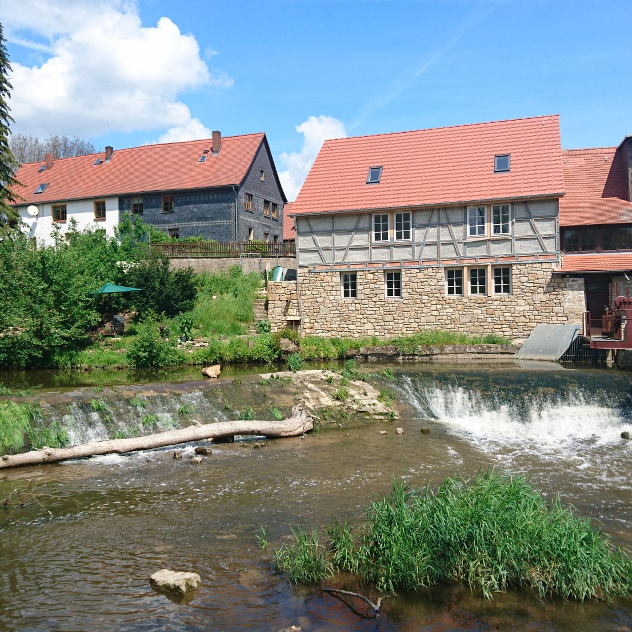
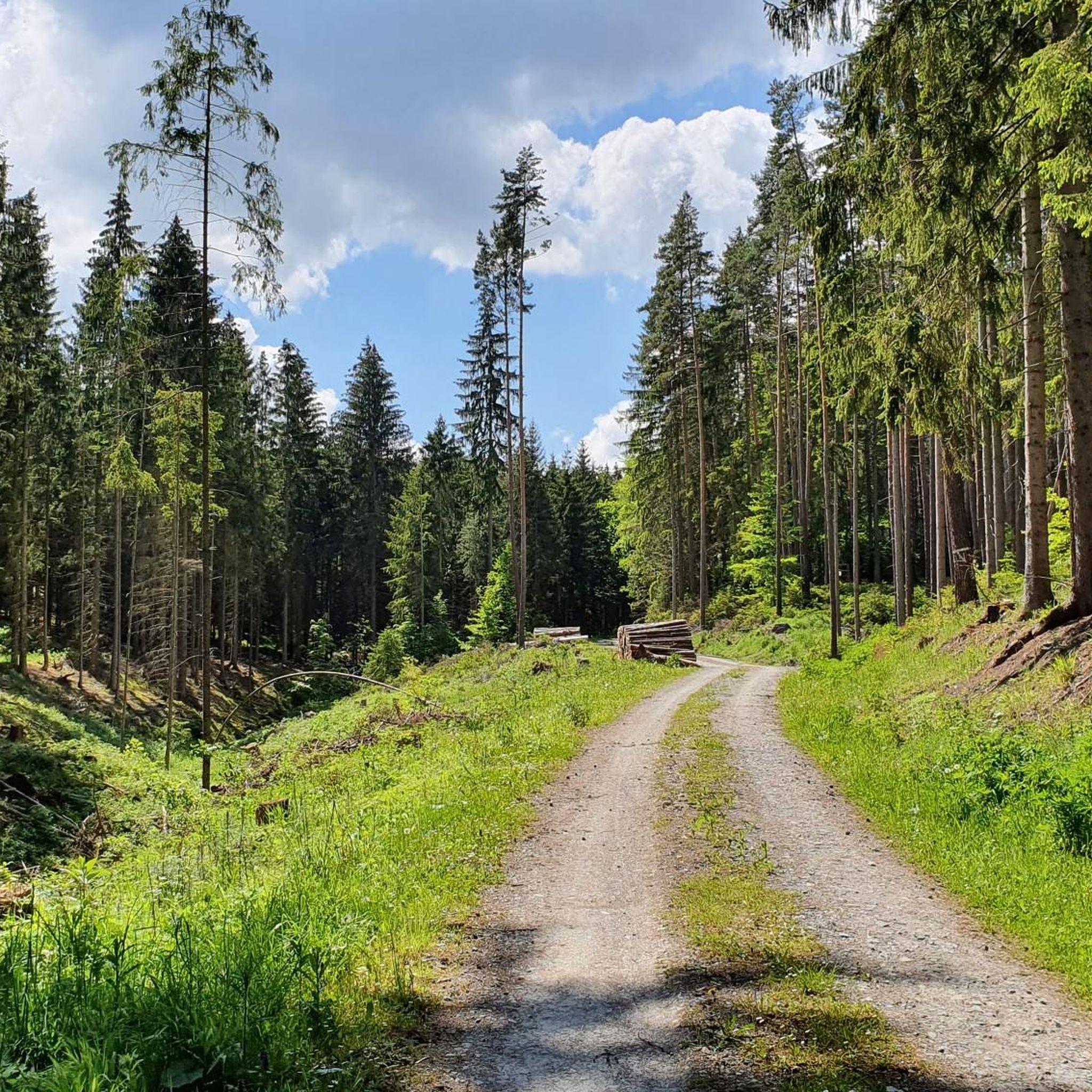
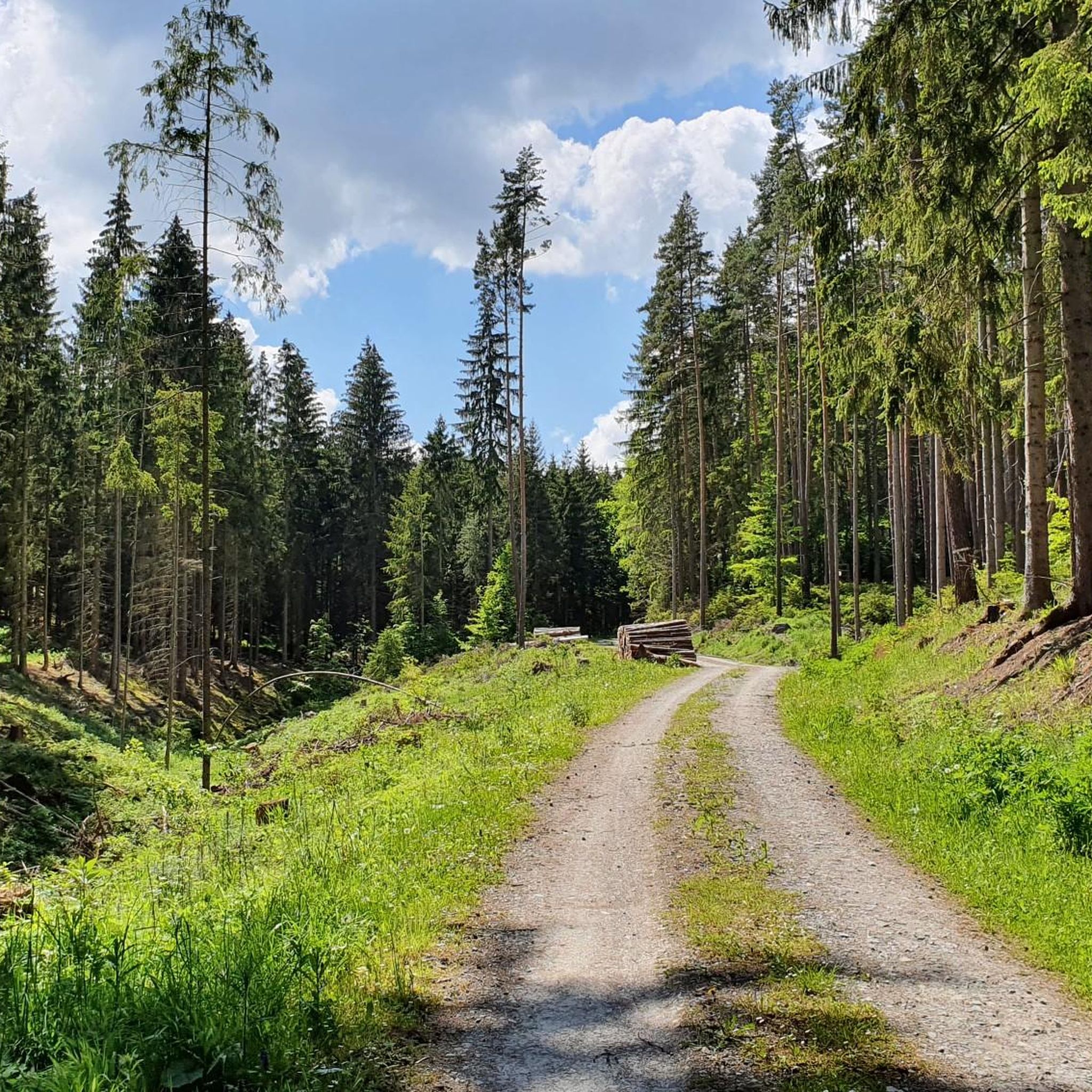
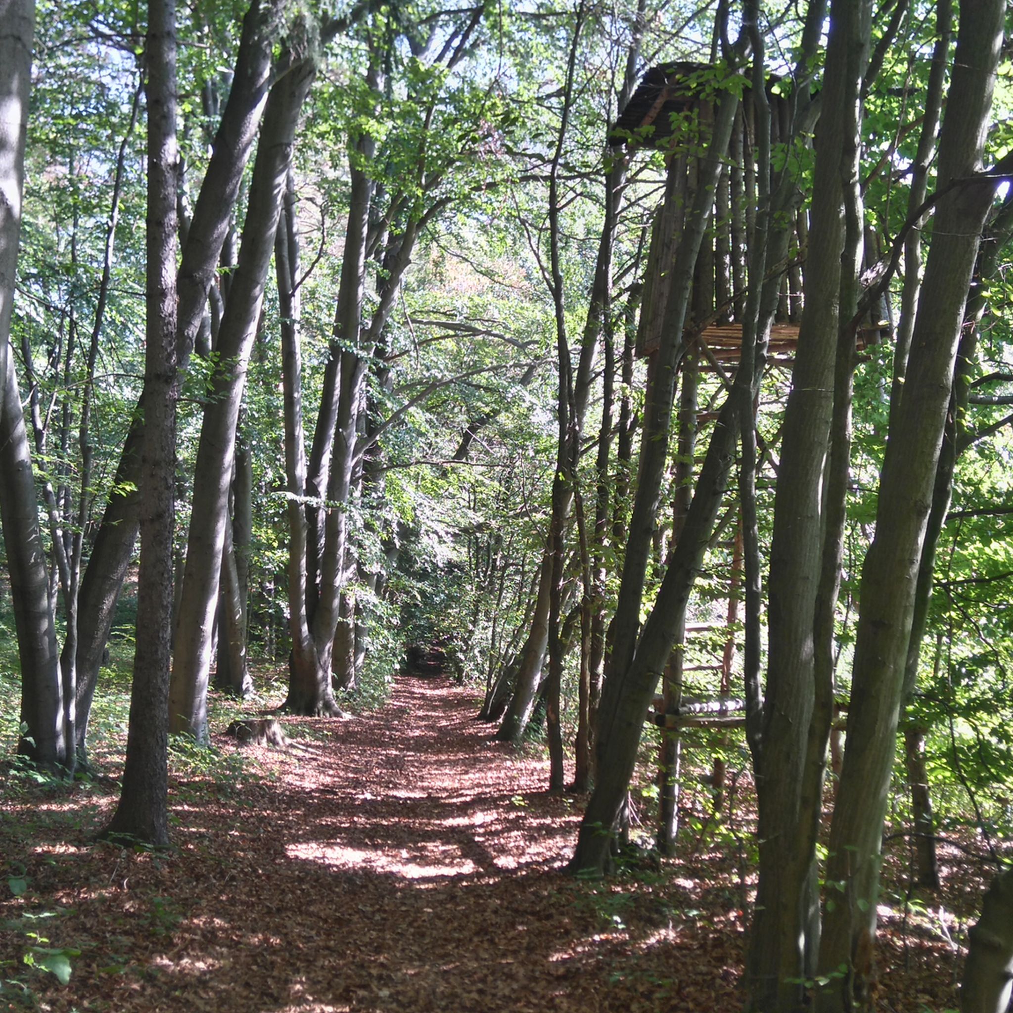
バートベルカでのの他の冒険


コミュニティからのヒント

Günniはすぐにひどくなる必要はありません、正しい、それはTiefengrubenで私の写真です、私はMildaを指定したことはありません、この間違った場所の名前がどのようにそこに行ったのかわかりません
0
0

このサイクリングツアーで唯一のとても美しいサイクリングロードでした。
1
0

It's quite an unusual bridge. Neither side is favored (red arrow), so look carefully before driving onto it.
0
0

🏛️ Historical Overview - Built around 1750 as a classic watermill. - 1886: The mill burned down but was soon rebuilt. - 1905: Mill operations ceased, and the buildings were given new functions. --- 🏭 Industrial Use - Around 1900, Paul Oschatz took over the mill and founded the "Marmor- und Metallwerk Hetschburg," which initially produced artificial marble and later even explosives. - From 1915 onwards, the mill became the metal goods factory "Possin & Döpping GmbH," which produced silver-plated murals and luxury items. - Production continued until 1988, despite environmental concerns—including a 1921 study that investigated a link between the factory and an eye disease in brown trout.
1
0

Great wooden bridge 🤩. But be careful, it's still busy in places.
16
0
llmのムシェルカルクの断崖に位置するブーフファルター・フェルゼンブルクは、中部ドイツ地域では唯一のこのタイプの城であり、特別な文化史的重要性を持っています。これはオルラムンデ伯爵の城塞です。12世紀頃、llmから約110メートルの長さと40メートルの高さの断崖に、大きさの異なる12の部屋が切り込まれました。これらの部屋はロマネスク様式の壁で結ばれていました。いくつかの壁の遺構と円弧状のドアが今日でも見られます。フェルゼンブルクは中世後期には軍事的な重要性を持っていませんでした。しかし、多くの伯爵、公爵、選帝侯にとって、それは完全に整備された攻略不可能な避難城として機能しました。
19
0

Sorry, but that's the circular village of Tiefengruben! What idiot created this highlight? Milda is 21 kilometers away, located between Meckfeld and Zimmritz, not far from the A4 Bucha exit! The only thing that's correct here are the four photos!
1
0
A very nice bike path through beautiful nature. It's a very pleasant ride here. It's not so good in Blankenhain, though.
0
0

komootモバイルアプリでインスピレーションを得よう


さらに探索
他の地域の最高のサイクリングルートを見てみましょう。
