グレーフェンドルフのおすすめMTBライド
4.5
(93)
331
ライダー
35
ライド
グレーフェンドルフ周辺でのマウンテンバイクは、その地形を最大限に楽しむのに最適なスポーツですが、ライドのスタート地点を探すのが難しいこともあります。グレーフェンドルフ周辺でおすすめのルートが見つかるように、人気マウンテンバイクルートをご紹介します。
最終更新日: 9月 7, 2026
4.2
(13)
42
ライダー
40.7km
03:23
660m
660m
中程度のマウンテンバイクライド. ある程度のフィットネスレベルが必要です。 高度なライディングスキルが必要です。
4.7
(14)
46
ライダー
36.3km
02:14
340m
340m
中程度のマウンテンバイクライド. ある程度のフィットネスレベルが必要です。 あらゆるスキルレベルに適しています。

4.6
(8)
42
ライダー
51.3km
03:26
630m
630m
中程度のマウンテンバイクライド. ある程度のフィットネスレベルが必要です。 高度なライディングスキルが必要です。
4.0
(2)
9
ライダー
45.5km
04:15
850m
850m
中程度のマウンテンバイクライド. ある程度のフィットネスレベルが必要です。 高度なライディングスキルが必要です。
4.6
(5)
14
ライダー
34.4km
02:48
610m
610m
難しいマウンテンバイクライド. ある程度のフィットネスレベルが必要です。 高度なライディングスキルが必要です。ツアーの一部で自転車を押して歩く必要があるかもしれません。
さらに多くのルートや他のユーザーのおすすめ情報を確認できます。
すでにアカウントをお持ちですか?
おすすめのツアーは他のkomootユーザーが実際に経験した何千ものアクティビティに基づいています。
無料アカウントで今日から始めよう
次の冒険が待っています。


コミュニティからのヒント

2026年7月末 - 遊歩道は安定しており、良好な状態でした。写真によっては手すりが写っていますが、橋(むしろ遊歩道)にはありませんでした。ここに小さな段差があります - 遊歩道は乾いていました(雨天時は滑りやすい可能性があります)
0
0

The structure shown in the picture is an unfinished bridge pier of the so-called Route 46, a planned motorway built during the Nazi era but never completed. Route 46 was intended to connect Bad Hersfeld with Würzburg. Background: Construction of Route 46 began in the 1930s. However, the project was halted with the outbreak of World War II in 1939 and never resumed.
1
0

Open shelter with signposts and trash cans. Nice. The road I then continued south from there was a real pain. It was littered with tire tracks, holes, deep undulations, and during the rainy season, mud and mud holes. You don't need to have them. But when it's dry, you can get through without a nervous breakdown.
0
0

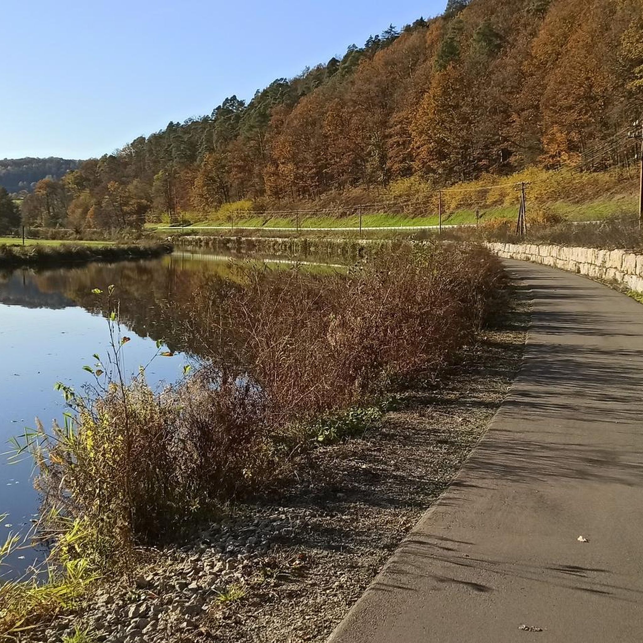
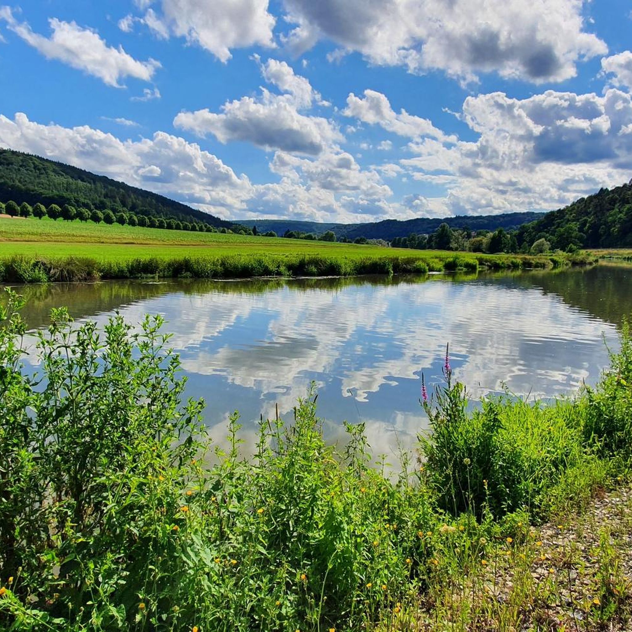
A shady trail through the forest above the Franconian Saale River. A beautiful section.
0
0

A cozy and inviting little village. You can enjoy the Saale River from the bridge.
0
0
The descent is a bit rough, so inexperienced riders should definitely be careful. The uphill section is not recommended.
0
0
A fast, beautiful descent with a view of the Franconian Saale River. It's a bit of a change from the usual bike path 👍🏼
0
0
It's wonderful to drive here. I recommend it to everyone 💯
0
0

komootモバイルアプリでインスピレーションを得よう


さらに探索
他の地域の最高のMTBトレイルを見てみましょう。
