Forstwaldのおすすめツーリングルート
4.6
(528)
4,743
ライダー
141
ライド
Forstwald周辺には魅力的なサイクリングルートがいくつもあります。この森の魅力をすぐに体験していただけるように、komootおすすめのルートをまとめました。
最終更新日: 10月 26, 2026
4.0
(3)
27
ライダー
36.3km
02:51
980m
980m
難しい自転車ライド. 標準以上のフィットネスレベルが必要です。 ほとんどが舗装路です。
6
ライダー
12.7km
01:18
370m
370m
中程度の自転車ライド. ある程度のフィットネスレベルが必要です。 ほとんどが舗装路です。

5.0
(1)
11
ライダー
45.5km
03:32
1,220m
1,220m
難しい自転車ライド. 標準以上のフィットネスレベルが必要です。 ほとんどが舗装路です。
5.0
(4)
73
ライダー
40.6km
03:16
1,080m
1,080m
難しい自転車ライド. 標準以上のフィットネスレベルが必要です。 ほとんどが舗装路です。
4.4
(9)
38
ライダー
15.3km
00:59
150m
150m
中程度の自転車ライド. ある程度のフィットネスレベルが必要です。 ほとんどが舗装路です。
さらに多くのルートや他のユーザーのおすすめ情報を確認できます。
すでにアカウントをお持ちですか?
おすすめのツアーは他のkomootユーザーが実際に経験した何千ものアクティビティに基づいています。
無料アカウントで今日から始めよう
次の冒険が待っています。
Forstwald周辺で人気
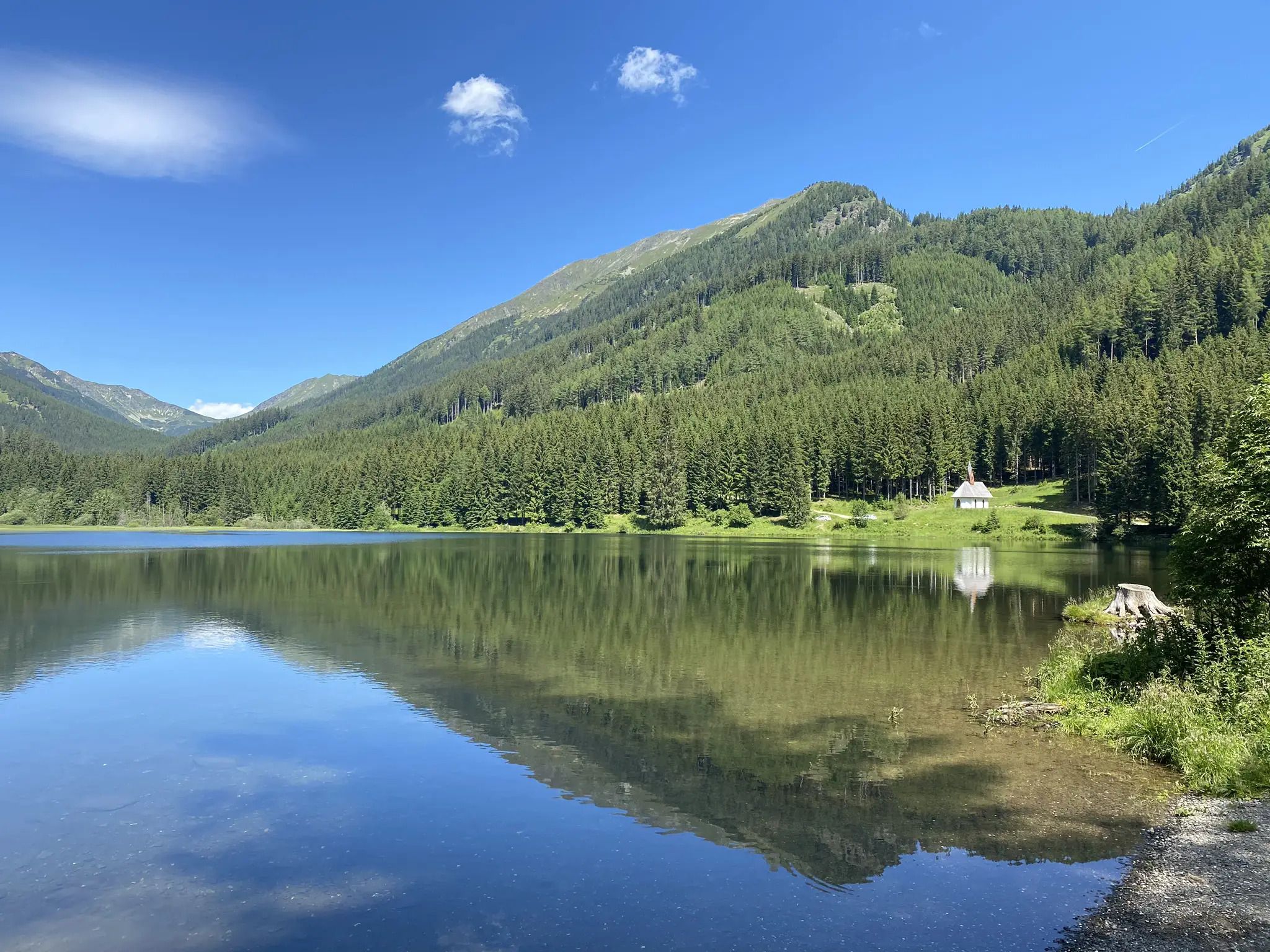
北から南へのオーストリアハイキング - アイゼンブルツェントレイル
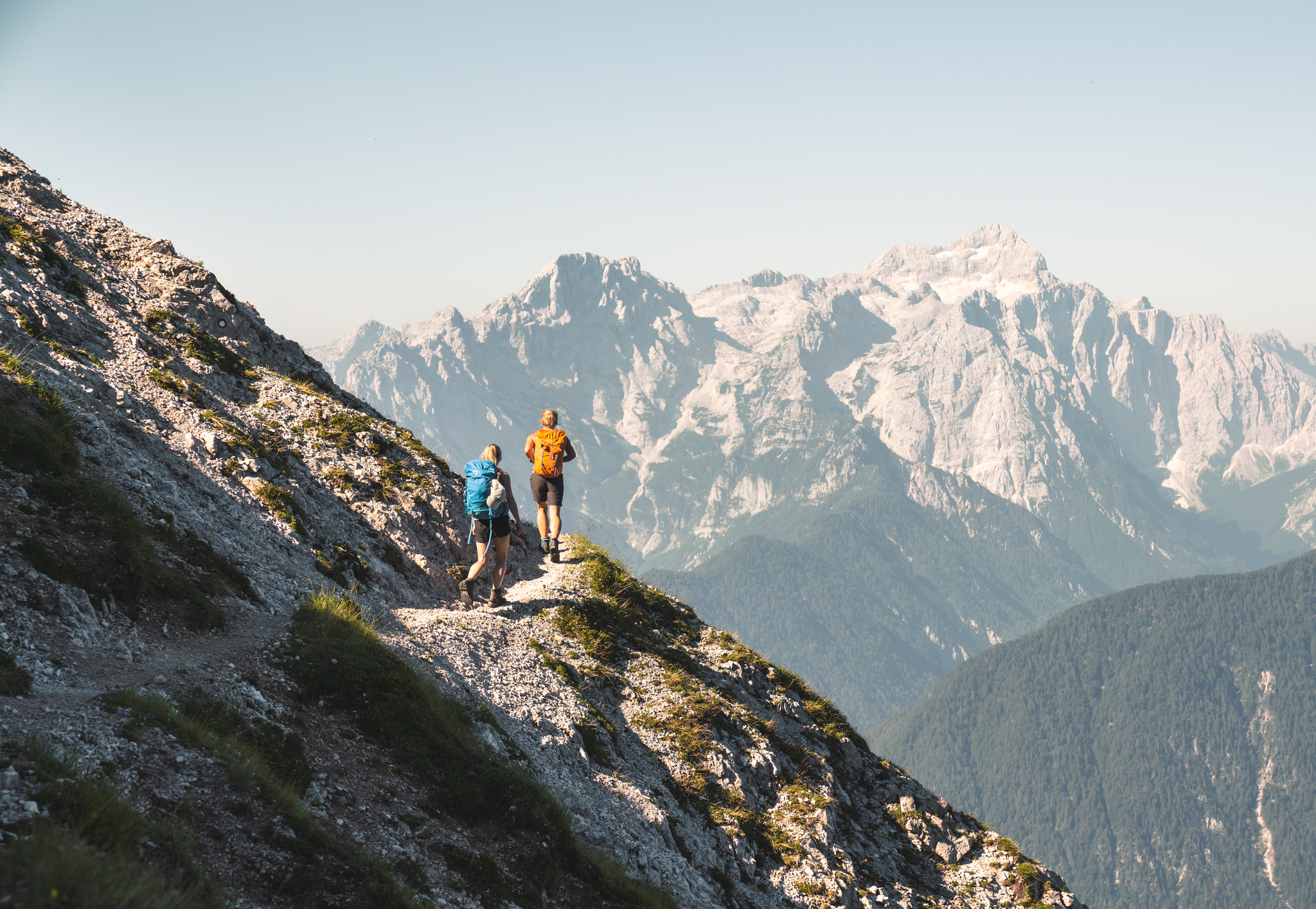
Sunny adventures on the Southern Alps Panorama Trail
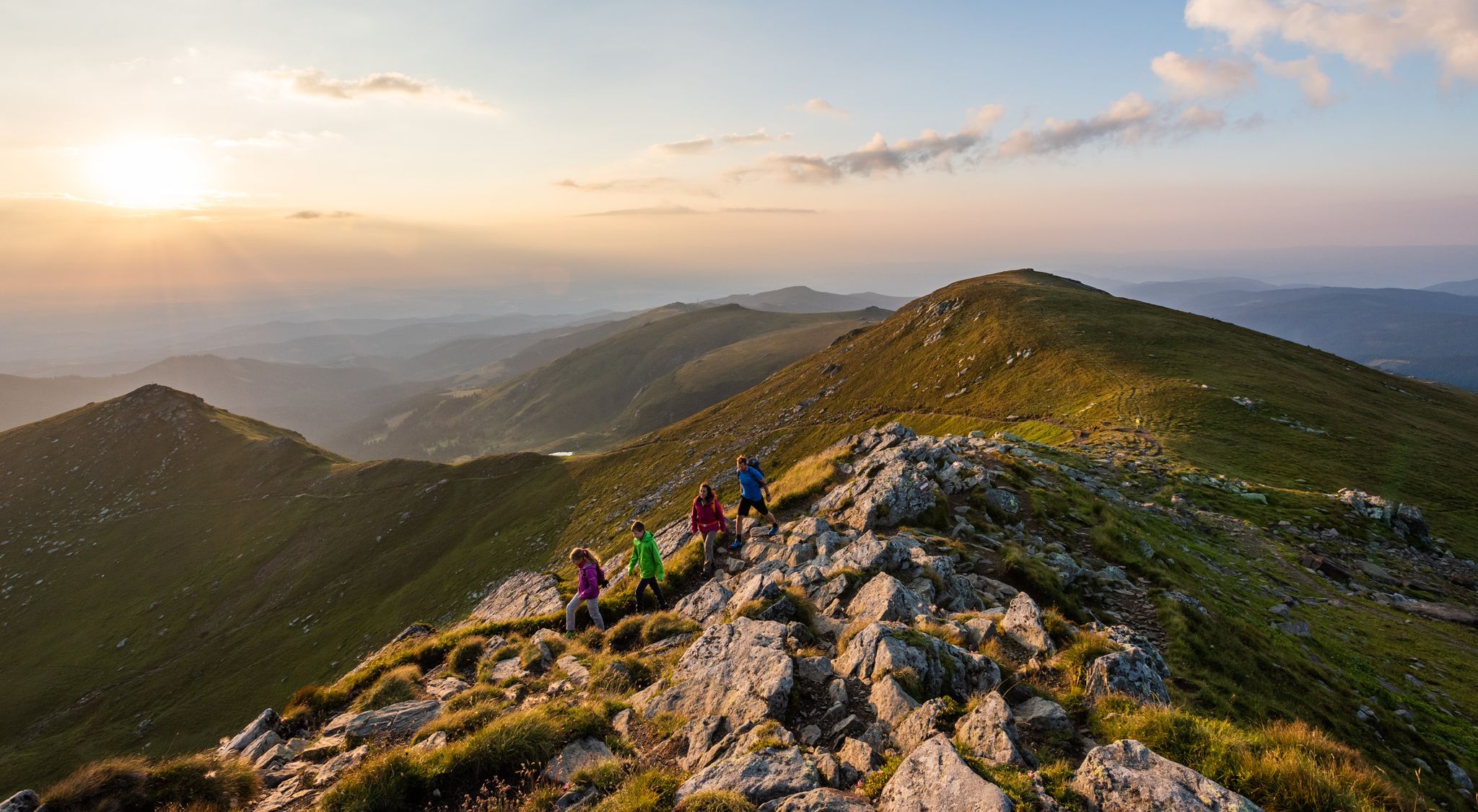
オーストリアでの9日間のリラクゼーションと驚き – ラヴァント・バレー・トレイル
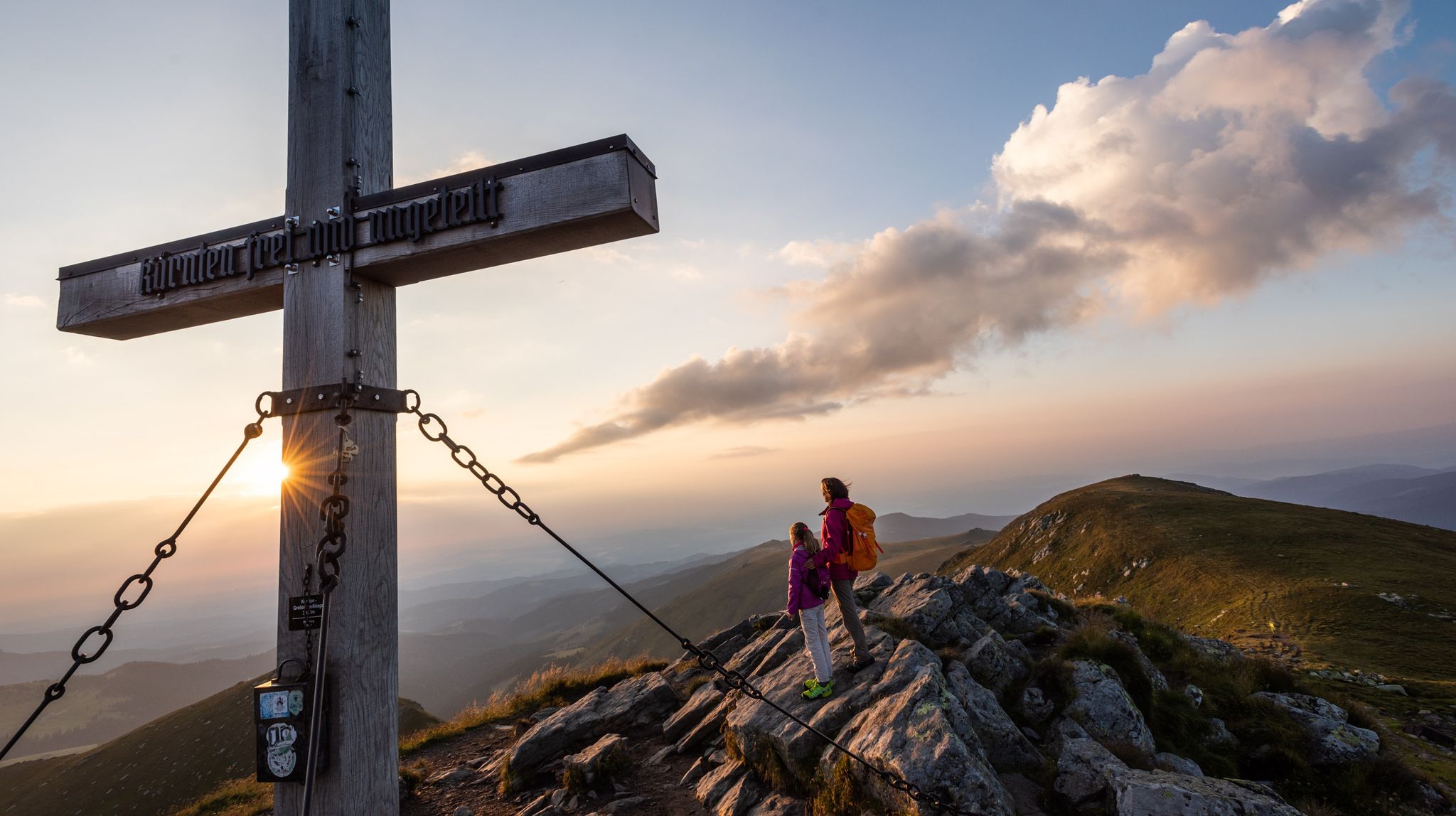
Gentle peaks with a guaranteed view —Welcome to the Lavanttal
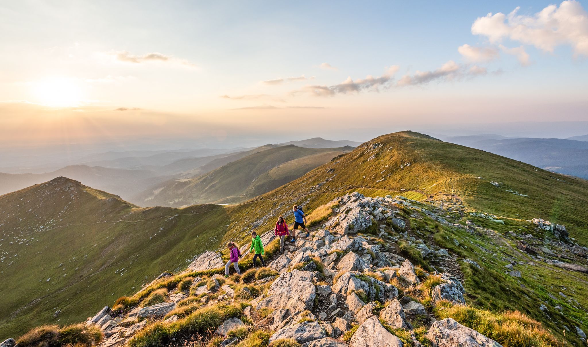
The Lavanttal — hiking on the sunny side of Carinthia

Forstwaldでのハイキング

ForstwaldのMTBトレイル

Forstwaldのロードバイクルート

Forstwaldのランニングコース

Forstwaldでの登山&山歩き
Forstwaldの他の冒険


コミュニティからのヒント

土曜日の12.9.26に良い天気の中を通り過ぎました。残念ながら、店主は15時に小屋を閉めました。後のゲストは信じられず、座っていました😂🤔👎
0
0

This is a good attempt to experience the Tibetan feeling in Austria. The grating path is certainly not Tibetan. However, it is still challenging for many because of the deep views. The rock paintings in Tibet are much more vibrant and detailed. The skull is a constant reminder of transience. The Chain Bridge, which still exists in some parts of Tibet and Bhutan, is unfortunately a fake. The chains hang from the ropes merely as decoration. Only the metal box in front of the spiral staircase remains completely unexplained to me. The explanation of the path is available in the museum! (Film) Overall, still highly recommended (at least for those unfamiliar with Tibet and Buddhists).
0
0

From here, you can enjoy a beautiful view of the route you are now taking: Seetal Alps, Zirbitzkogel, Wildsee, Schmelz, Judenburg.
0
0

Benches invite you to linger. Unfortunately, the water is not drinkable.
1
0

The Klippitztörl is a pass that connects the Carinthian Lavanttal with the region around Althofen.
11
0
The parking lot is located at 1690 meters above sea level and is free of charge 💡
11
0
Klippitztörl 4 9462 Bad St. Leonhard 🧭 The address does not lead directly to the car park. From Bad Sankt Leonhard, please just continue to the hairpin bend.
10
0
Parking lot for tours to the Geierkogel 🌄or to the Zirbitzkogel ⛰️ as a long-distance hike👣 Hiking trail to the Geierkogel ➡️ directly from the parking lot Hiking trail to the Zirbitzkogel ➡️ cross the road
12
0
Forstwaldの人気観光スポット

komootモバイルアプリでインスピレーションを得よう


さらに探索
他の地域の最高のサイクリングルートを見てみましょう。
