プラネックの絶景の山頂・トップ6
ミュンヘンの西に位置するバイエルン州の自治体、プラネッグ周辺の最高の山頂は、より広大なバイエルンアルプス内でアクセス可能です。プラネッグ自体は比較的平坦ですが、より顕著な山頂を探検するための便利な出発点となります。この地域は、山の体験を求める人々にとって、数多くの注目すべき山頂と広範なハイキングの機会を提供します。これらのエリアは、さまざまなレベルのハイカーに多様な選択肢を提供します。
プラネッグ周辺の最高の山頂
- 最も人気のある山頂は、ペルラッハの森を抜けた後の山々の景色を提供する展望台であるペルラッハ・ムーグルからのアルプスの眺めです。この場所はミュンヘンの基準としては良い眺めを提供し、晴れた日には山々を見ることができます。
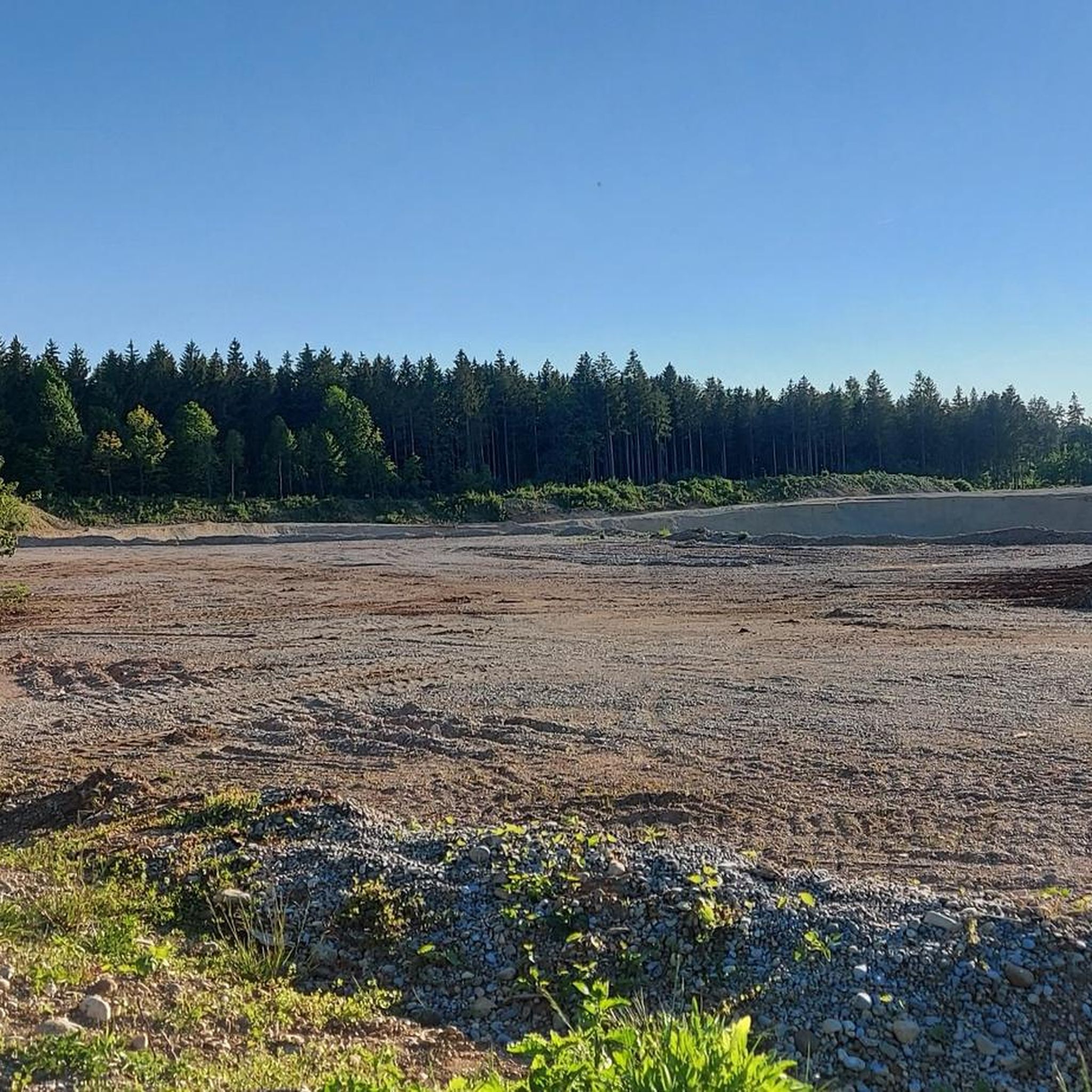
- もう一つの必見スポットは、山頂であるバルデヘーエ – ミュンヘンで最も高い地理的地点です。この小高い丘は、標高580.5メートルで、ミュンヘンで最も高い地理的地点とされています。
- 訪問者はオリンピック山という展望台も気に入っています。この約60メートルの高さの丘からは、ミュンヘンとオリンピック公園のパノラマビューが楽しめます。
- プラネッグは、山頂、展望台、自然記念物で知られています。この地域は、小高い丘からトレイルのある小さな山まで、さまざまな山頂を提供しています。
- プラネッグ周辺の山頂は、komootコミュニティによって高く評価されており、1300以上の「いいね」と訪問者によって共有された900以上の写真があります。
最終更新日: 10月 11, 2026
オリンピック・マウンテン
ハイライト • 展望台
翻訳を表示中
役立つ情報 は

ペルラッハー・ムグルからのアルプスの眺め
ハイライト • 展望台
翻訳者 Google •
役立つ情報 は

今すぐサインアップして、こんな場所を発見しよう
最高のシングルトラック、ピーク、その他のエキサイティングなアウトドアスポットのおすすめを受け取ろう。
バルデホーエ - ミュンヘンの最高地点
ハイライト • 山頂
翻訳者 Google •
役立つ情報 は

Baldehöhe
ハイライト • 山頂
翻訳者 Google •
役立つ情報 は

無料アカウントで今日から始めよう
次の冒険が待っています。
コミュニティからのヒント

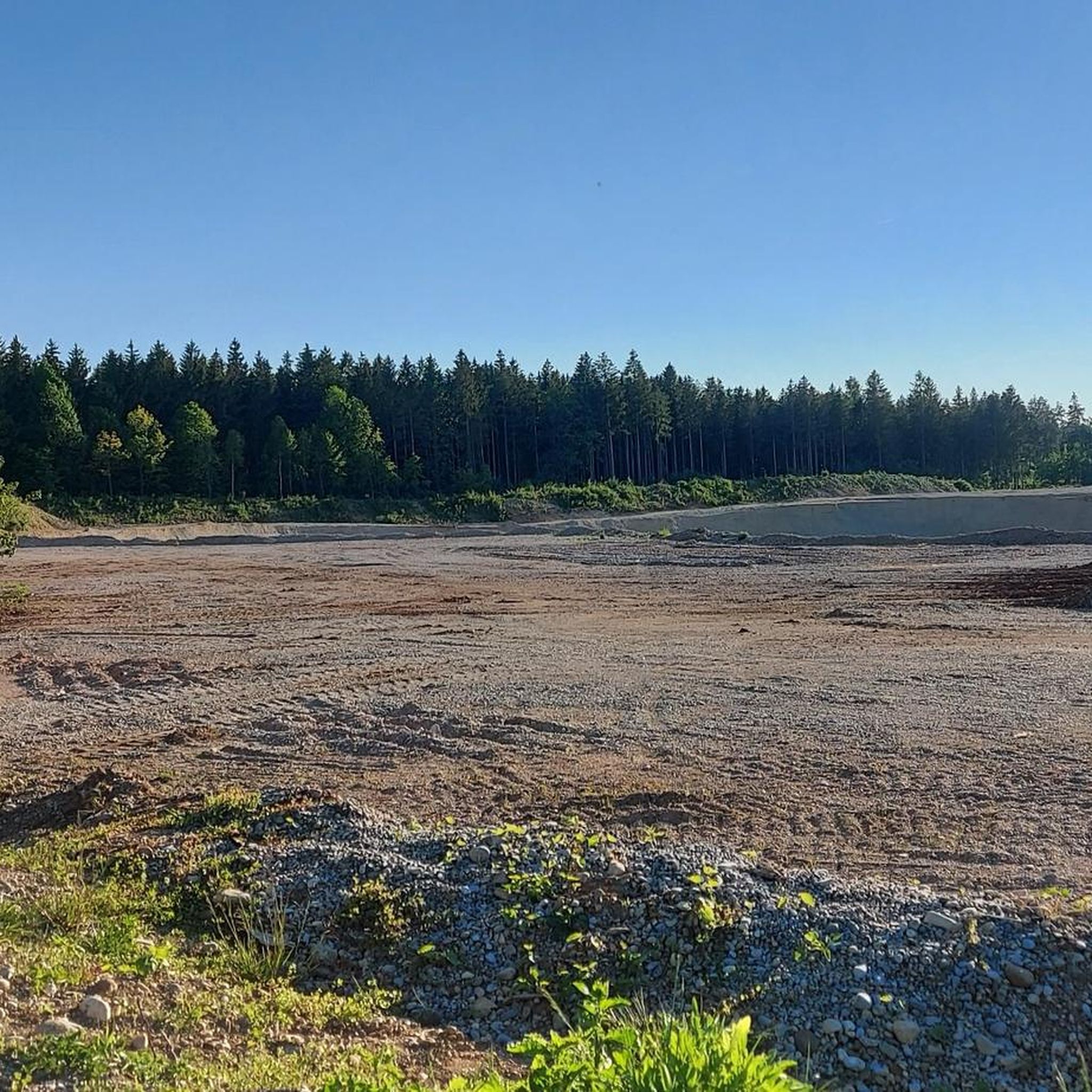
Apart from fields, the small Warnberg pond and views of the Warnberg estate, there is actually nothing to see here. The geographically highest natural point in Munich's urban area is on the estate's private property and is not accessible. On the path around the farm you can at least walk around the grounds.
5
0

A spilled mountain is the highest point in Munich
1
1

A fantastic view of the Olympic area. People meet for a sundowner, to listen to concerts, to end the evening... simply to relax
11
1

Wikipedia (Olympiapark (München), 2022-10-27): https://de.m.wikipedia.org/wiki/Olympiapark_(München)#Olympiaberg FACEBOOK (Olympiapark München, 2022-10-27): https://www.facebook.com/Olympiapark/ Landesamt für Digitalisierung, Breitband und Vermessung (2025-04-06): https://ldbv.bayern.de/produkte/weitere/standorte/grp_muenchen.html „Geodätischer Referenzpunkt München auf der höchsten Erhebung des Olympiaparks“ https://ldbv.bayern.de/produkte/weitere/standorte.html Liste und Übersicht der Geodätischen Referenzpunkte in Bayern
16
3
Apart from fields, the small Warnberg pond and views of the Warnberg estate, there is actually nothing to see here. The geographically highest natural point of the Munich city area is on the private property of the estate and is not accessible. On the way around the farm you can walk around the site at least once.
2
0

when you have left Solln, you have a beautiful view over the fields and the Forstenrieder Park
1
0

Baldehöhe in Gut Warnberg in Solln Munich's highest point at 580.5 m above sea level, in the Munich city area. A monastery and a private secondary school are housed on Gut Warnberg. Jakob Balde, German Jesuit (1604 - 1668). In the Middle Ages, the Warnberg, the highest elevation, was used as a sentry post.
1
0

This raised hill is considered the highest geographical point in Munich (580.5 meters). The "Höhe" is named after the Jesuit Jacob Balde.
1
0
プラネックでのの人気観光スポット

komootモバイルアプリでインスピレーションを得よう


さらに探索
これらのガイドでさらに素晴らしい頂上を見てみましょうプラネックでの:
