ゲーダーンのおすすめツーリングルート
4.3
(499)
2,067
ライダー
98
ライド
サイクリングツアーは、フォーゲルスベルク山脈の火山活動によって形成された多様な景観をゲデルン周辺で楽しめます。この地域は、ゲデルン湖やニッダ貯水池を含む、起伏のある丘陵地帯、鬱蒼とした森林、絵のように美しい湖の景観が特徴です。かつての鉄道跡を利用した、整備されたサイクリングインフラは、緩やかな勾配でアクセスしやすい道を提供します。この地形は、様々なレベルのサイクリストに合わせた多様なルートを提供します。
ゲデルン周辺の最高のサイクリングツアー
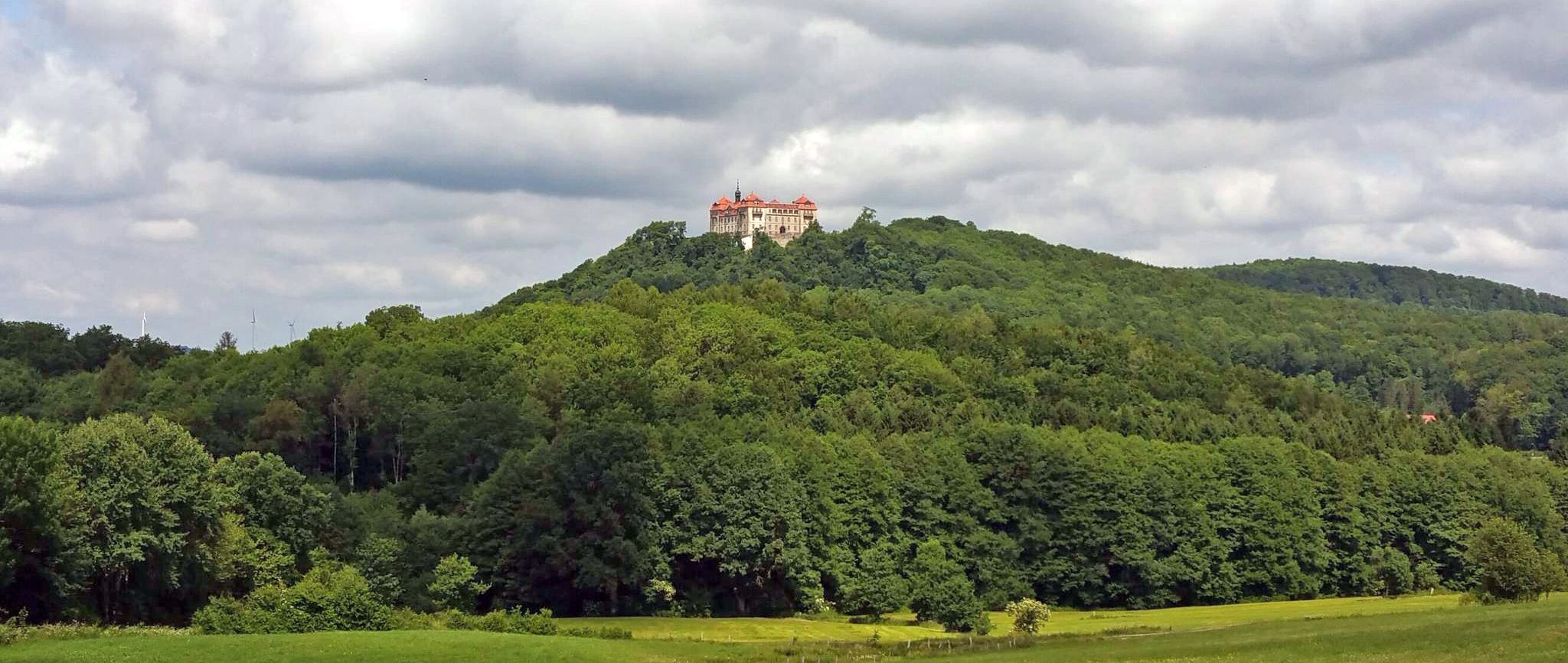
- 最も人気のあるサイクリングツアーは、ゲデルン城 – 森の中の橋ループ(ゲデルン発)で、距離は34.3マイル(55.3 km)、所要時間は3時間24分です。この難易度の高いルートは、森林地帯を抜ける大幅な標高差が特徴です。
- 地元のサイクリストに人気のもう一つのルートは、森の中の橋 – いかだ職人の家ループ(ゲデルン発)で、距離は24.5マイル(39.5 km)の難易度の高いコースです。このルートは、森林地帯や開けた景観を含む、変化に富んだ地形を横断します。
- 地元のサイクリストに愛されているのは、森の中の橋 – フォーゲルスベルク南鉄道サイクリングパスループ(ゲデルン発)で、距離は68.8マイル(110.8 km)です。このルートはフォーゲルスベルクの火山地帯を通り抜け、所要時間は約6時間39分です。
- ゲデルン周辺のサイクリングは、起伏のある丘陵地帯、鬱蒼とした森林、そしてサイクリングパスに転用されたかつての鉄道跡が特徴です。このネットワークは、穏やかな散策からより挑戦的なライドまで、様々なレベルのオプションを提供します。
- ゲデルンのルートは、komootコミュニティから高く評価されており、400件以上のレビューから平均4.3つ星を獲得しています。1700人以上のサイクリストがkomootを利用して、ゲデルンの変化に富んだ地形を探索しています。
最終更新日: 8月 24, 2026
4.7
(3)
19
ライダー
中程度の自転車ライド. ある程度のフィットネスレベルが必要です。 全般的に舗装された状態です。あらゆるスキルレベルに適しています。
4.6
(33)
154
ライダー
41.3km
02:31
390m
390m
中程度の自転車ライド. ある程度のフィットネスレベルが必要です。 全般的に舗装された状態です。あらゆるスキルレベルに適しています。

無料新規登録
4.6
(36)
136
ライダー
39.4km
02:40
580m
580m
難しい自転車ライド. 標準以上のフィットネスレベルが必要です。 全般的に舗装された状態です。あらゆるスキルレベルに適しています。
4.6
(29)
87
ライダー
111km
06:38
820m
810m
難しい自転車ライド. 標準以上のフィットネスレベルが必要です。 全般的に舗装された状態です。あらゆるスキルレベルに適しています。
4.7
(67)
183
ライダー
46.1km
02:57
500m
500m
難しい自転車ライド. 標準以上のフィットネスレベルが必要です。 全般的に舗装された状態です。あらゆるスキルレベルに適しています。
さらに多くのルートや他のユーザーのおすすめ情報を確認できます。
無料新規登録
すでにアカウントをお持ちですか?
おすすめのツアーは他のkomootユーザーが実際に経験した何千ものアクティビティに基づいています。
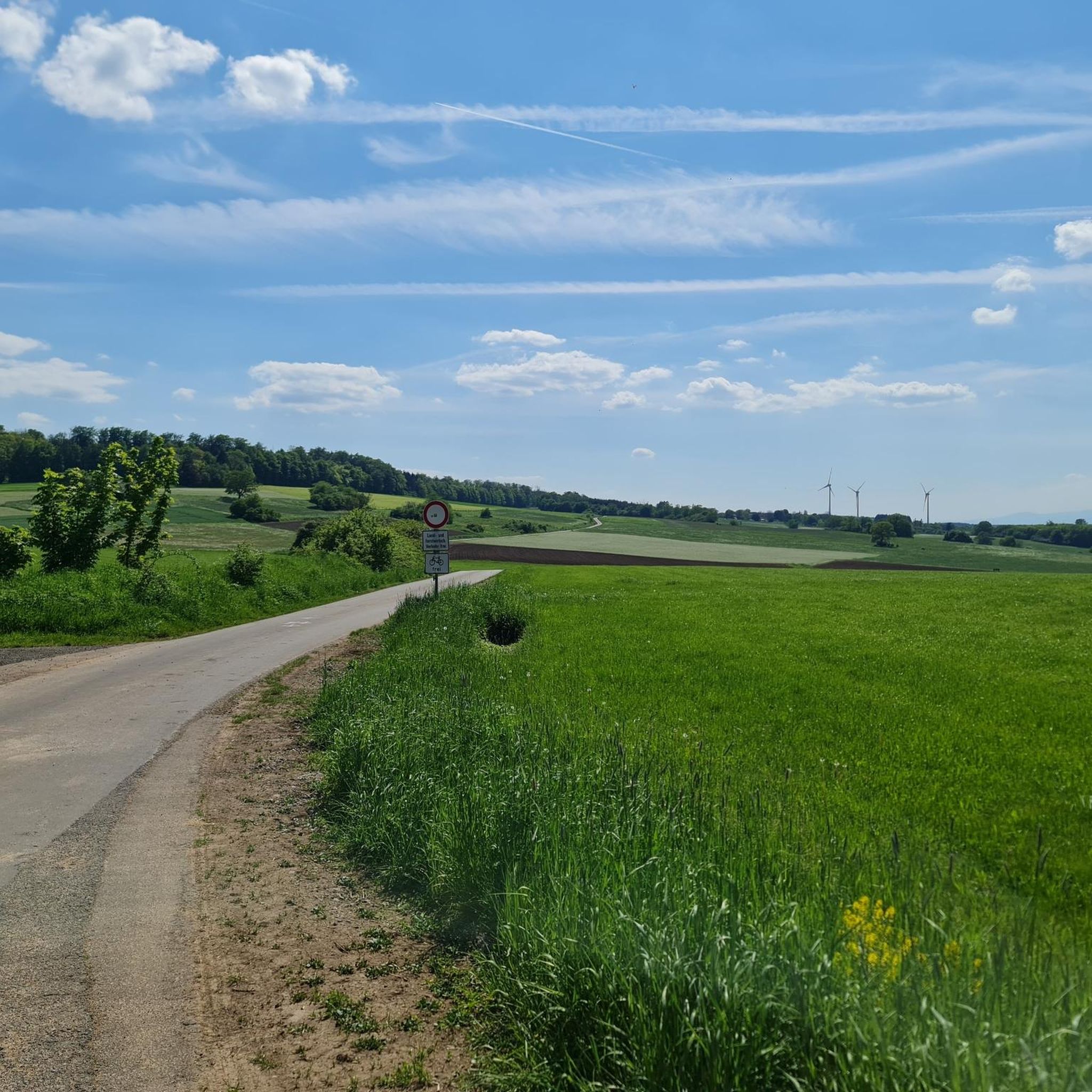
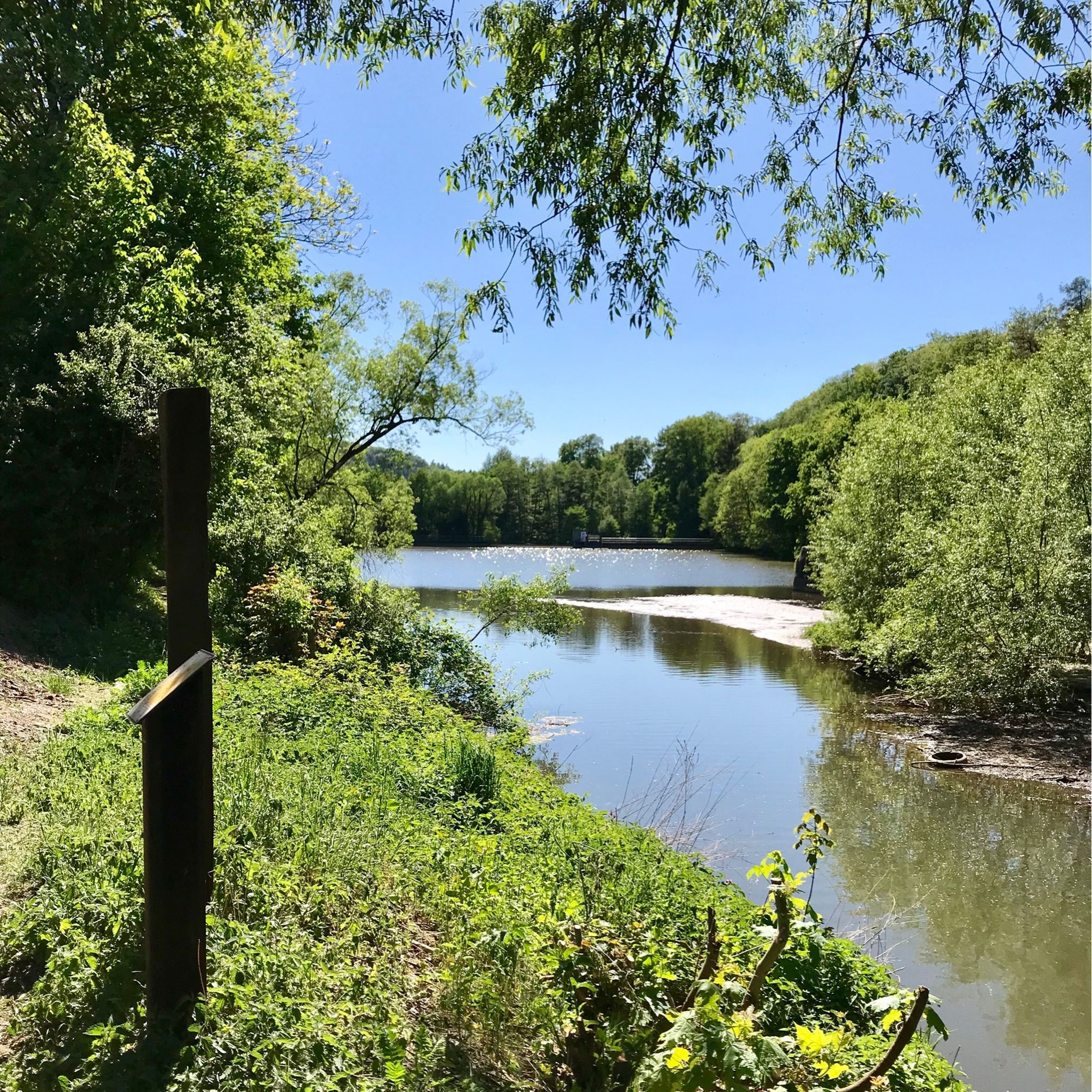
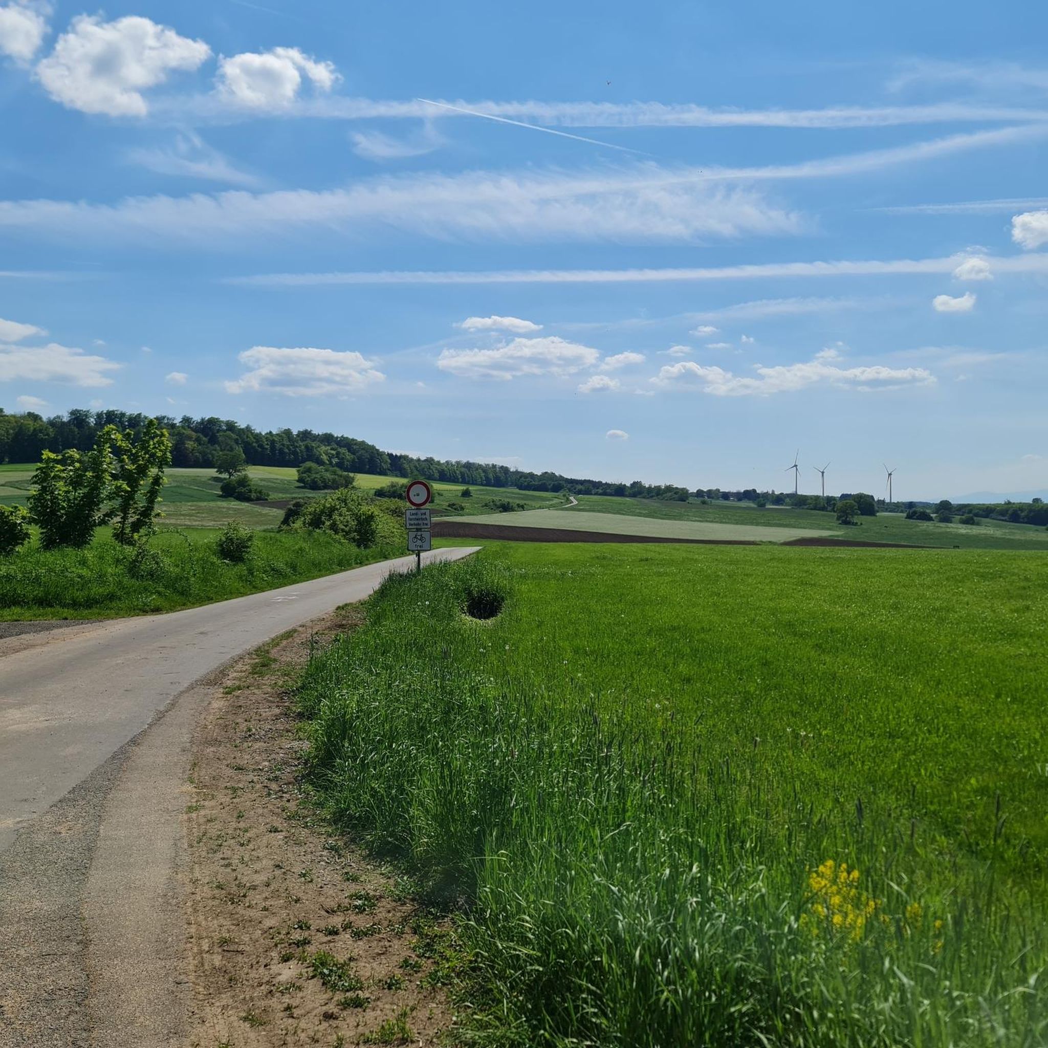
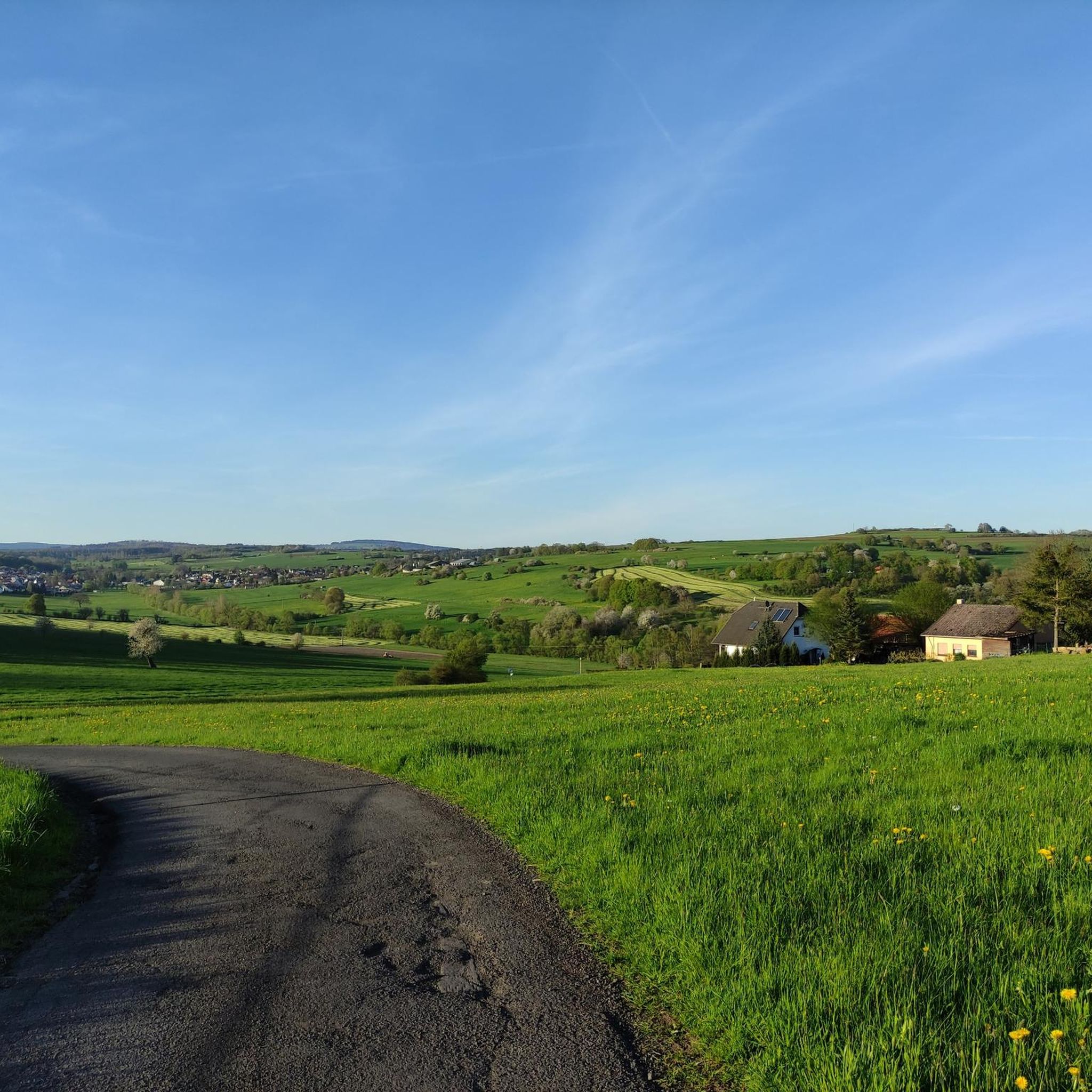

ゲーダーンでのの他の冒険


コミュニティからのヒント

ヒルツェンハインとシュタインベルクの間の区間は、この地域の鬱蒼とした森と緑豊かな牧草地を通ります。単に風光明媚な地域で結ばれているだけでなく、両方の町の歴史は密接に絡み合っています。シュタインベルクは、かつてここで行われていた鉄鉱石の採掘にその名前の由来があります。採掘された鉱石はヒルツェンハイムの製鉄所で処理されていました。どれほど多くの人々がこれらの道を通ったのか、想像するのは難しいです。
1
0
シュönハウゼンからそう遠くないケルンベルクとカフベルクの間には、周囲の風景の素晴らしい眺めが開けます。ベッテンラートヴェークからは、風が豊かな牧草地の茎を踊らせる谷を見渡すことができます。
0
0
火山都市ゲーデルンの地区であるオーバー・ゼーメンからそう遠くない、標高約440メートルの場所にカフベルクがあります。ゼーメンタールが開放的な中岳地帯へと移行するフォーゲルベルクの端に位置し、ヴェッターアウの素晴らしい眺めを楽しめます。この美しい休憩所は、2019年秋からグラウブルク=シュトックハイムとゲーデルン=オーバー・ゼーメンを結ぶベットゥンラートヴェーク沿いにあります。ベンチからは、地平線まで広がる畑の素晴らしい眺めが楽しめます。ちょっとした休憩に最適な場所です。
1
0


Historic raftsman's house on the Schwarzbach stream – a small, traditional wooden building that recalls the former rafting culture in the Vogelsberg region. Today, it's an idyllic spot by the water, perfect for a short break and a glimpse into the region's history.
6
0

The Kinzig is a river approximately 86 kilometers long. It rises in Sterbfritz, flows southwest through the Main-Kinzig district of Hesse, and flows into the Main from the right in Hanau. The Kinzig is a second-order river in low mountain ranges. It overcomes an elevation of 301 meters and has a bed gradient of 3.5 per thousand. The Kinzig's catchment area covers 1,058 square kilometers, and the calculated mean discharge (MQ) at the mouth of the Kinzig is 10.97 cubic meters per second. The Kinzig was first documented in 796 as "iuxta fluvium Kincihen." In 815, the name was written as "Chinzicha," around 900 as "Kincicha"/"Kinzicham," in 1364 as "Kinzige," in 1584 as "Kintzig," in 1607 as "Bintz," in 1681 as "Kintz," in 1716 as "Kins," in 1769 as "Kinzing," and in 1802 as "Kinzig." In the river's headwaters, there was the now-defunct village of Kinzig, mentioned in 815 as "Chirizichheimero." The village and river were often confused by monastery scribes at that time with "Chizzicha" (now Bad Kissingen), both of which were described as being located in the Saalegau. The name presumably derives from the ancient Celtic *ku̯anti̯o- meaning "flat hill, valley." The name was therefore derived from the mountainous region from which the Kinzig flows. Source: Wikipedia
4
0

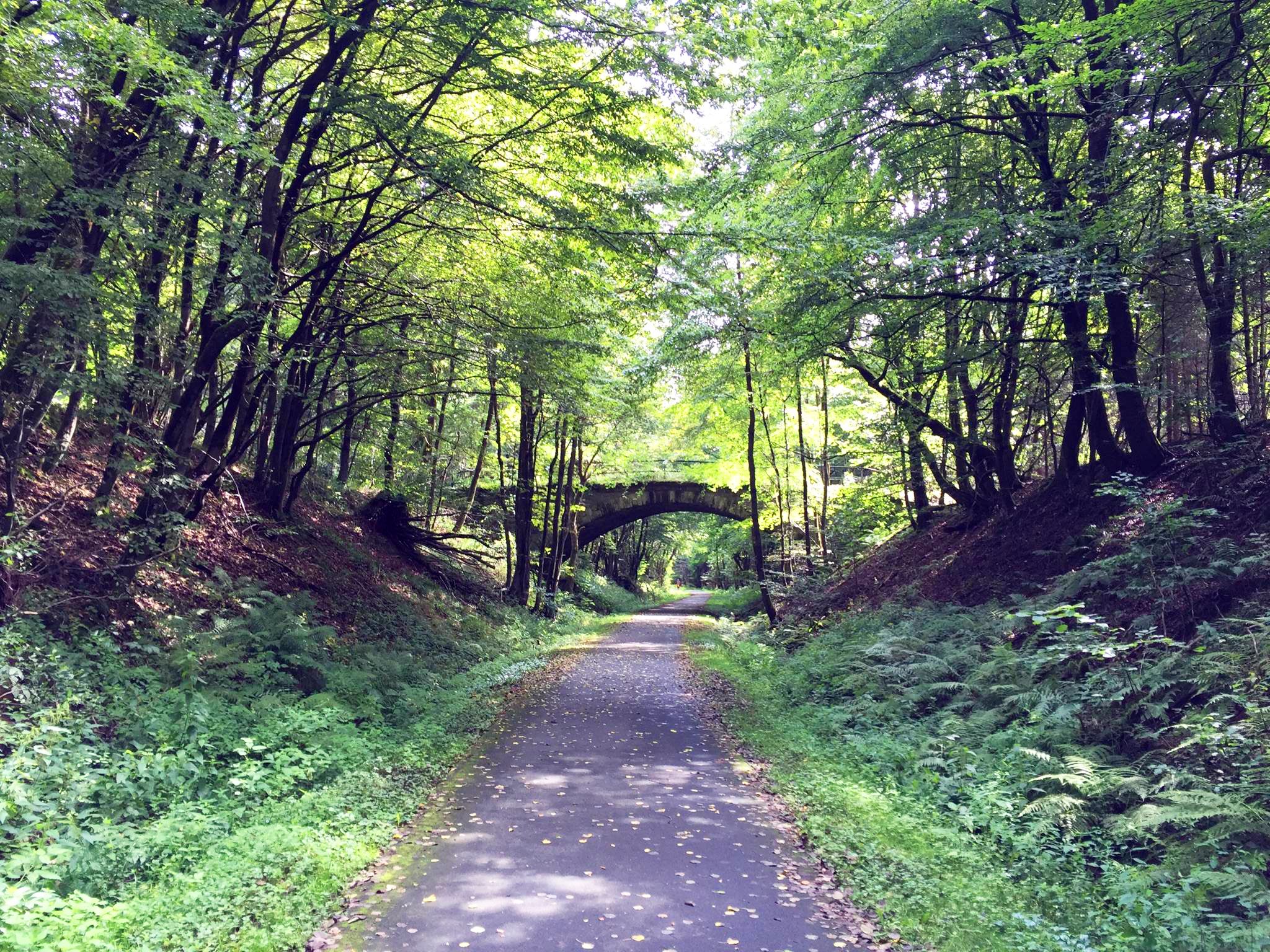
Very nice cycle path with old stone bridges
0
0

komootモバイルアプリでインスピレーションを得よう


さらに探索
他の地域の最高のサイクリングルートを見てみましょう。
