ルートプランナー機能アップデート
App
ログインまたはサインアップ
アプリを入手
ログインまたはサインアップ
ルート
Places to see
オーストリア
オーバーエスターライヒ
シェルディング

コップフィング・イム・インクライス

コップフィング・イム・インクライス周辺のアトラクション&必見スポット - トップ20


コップフィング・イム・インクライスには必見のスポットがたくさんあります。ハイキング愛好家やサイクリング愛好家の方は、ぜひコップフィング・イム・インクライスを探索してこのエリアにある20
の隠れたスポットを訪れてみてください。このエリアの必見スポットを確認し、次の冒険に出かける計画を立てましょう。

最終更新日: 10月 23, 2026

ヨッヘンシュタイン岩島(聖ヨハネ・ネポムク像)

ハイライト • 自然記念物

The rock is located downstream from the Jochenstein power plant. In the 18th century a chapel was built there with the patron saint of the shipmen - St. John Nepomuk. …

翻訳者 Google •

役立つ情報 は

によるものです

ここでのライドを見るスマートフォンに送信
保存
The way over the lock takes you from Germany to Austria.
But be careful: you have to climb a stairwell with 40 steps on each side. A simple pushing aid …

翻訳者 Google •

役立つ情報 は

によるものです

保存

今すぐサインアップして、こんな場所を発見しよう

最高のシングルトラック、ピーク、その他のエキサイティングなアウトドアスポットのおすすめを受け取ろう。

無料新規登録
Those who are not satisfied with the beautiful view of the other shore can take the bike ferry to Engelhartszell. There is, for example, the beautiful Engelszell Abbey with the sensory garden to visit.
engelhartszell.at/Radfaehre

翻訳者 Google •

役立つ情報 は

によるものです

保存
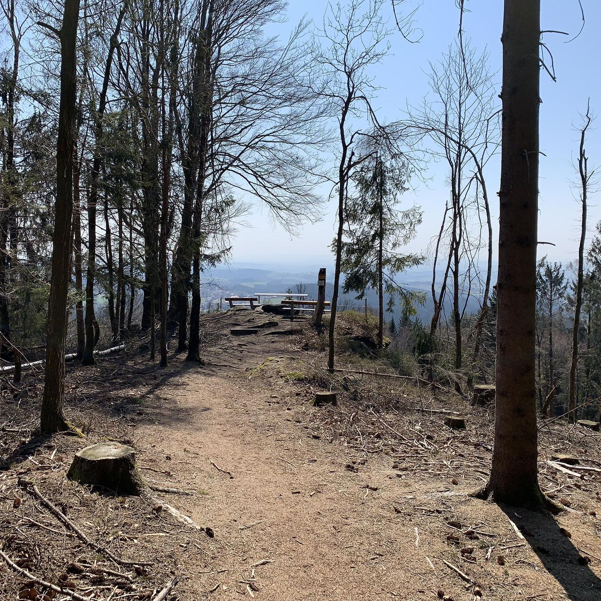
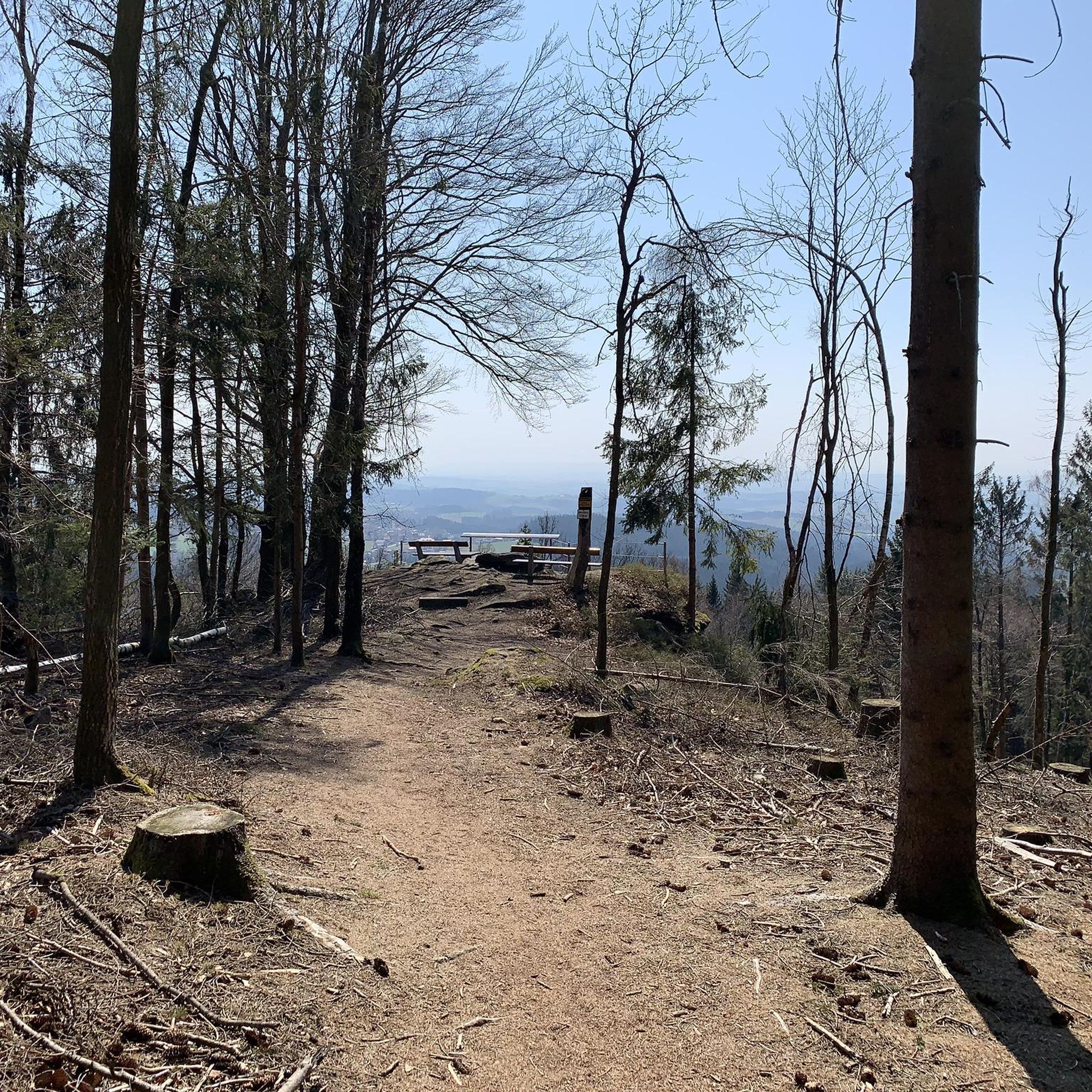
The Haugstein is 895 m above sea level. A. the highest mountain in the Sauwaldes in the Upper Austrian district of Schärding (Innviertel).

翻訳者 Google •

役立つ情報 は

によるものです

保存
Over a length of more than 1,000 m, a wooden structure winds up between the treetops and lets you immerse yourself in the flora and fauna of the forest from …

翻訳者 Google •

役立つ情報 は

によるものです

保存

無料でサインアップして、さらに多くの観光スポットを発見しましょう コップフィング・イム・インクライスでの。

無料新規登録

すでにアカウントをお持ちですか?

無料アカウントで今日から始めよう

次の冒険が待っています。

ログインまたは登録

コップフィング・イム・インクライス周辺で人気

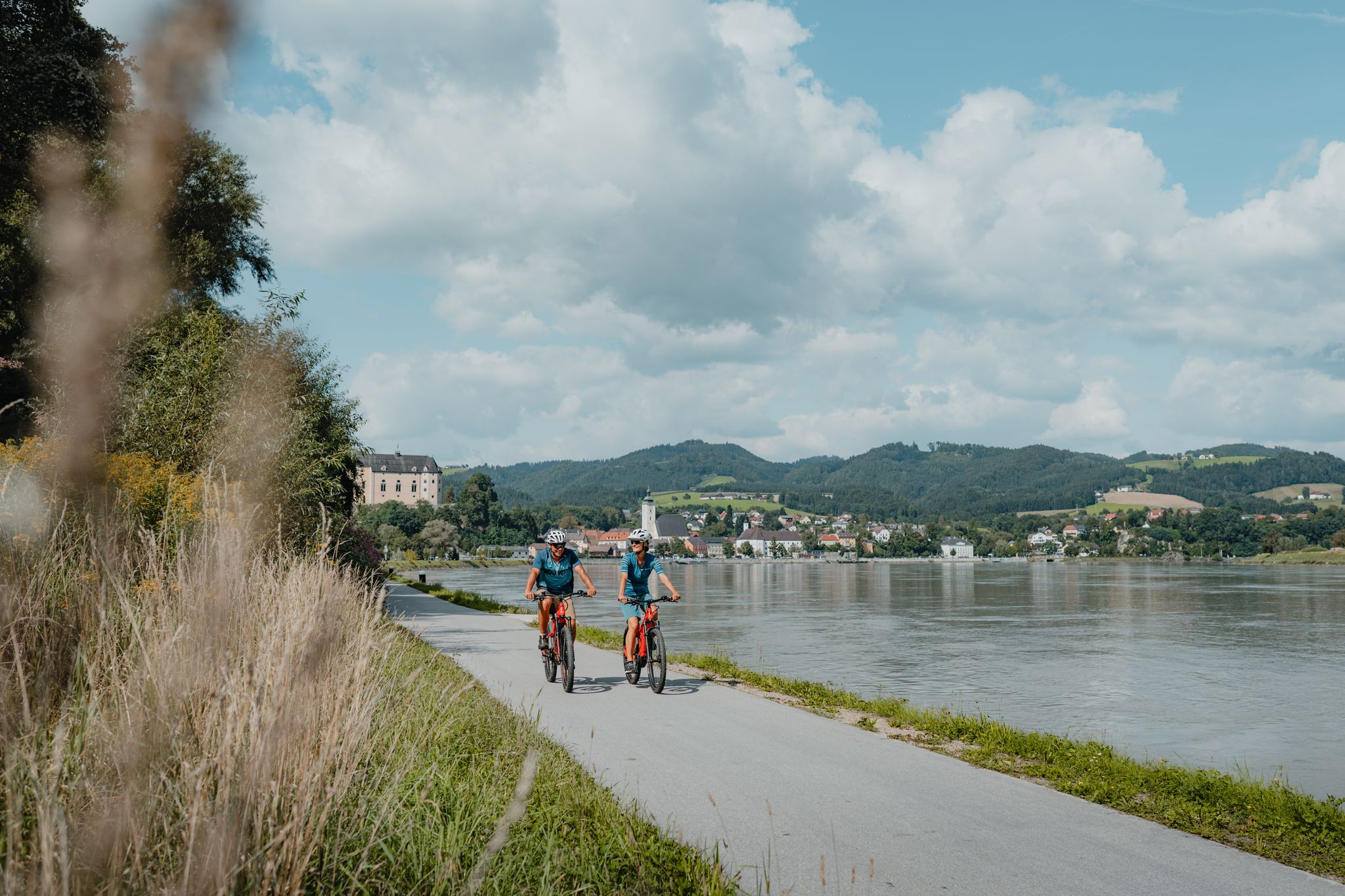
E-bike Tours in the Danube region in Upper Austria

コップフィング・イム・インクライスでのハイキング

コップフィング・イム・インクライスでのサイクリング

コップフィング・イム・インクライスのMTBトレイル

コップフィング・イム・インクライスのロードバイクルート

コップフィング・イム・インクライスのランニングコース

コップフィング・イム・インクライスでの登山&山歩き

コップフィング・イム・インクライスでののグラベルライド

コップフィング・イム・インクライスでのの他の冒険

E-bike Tours in the Danube region in Upper Austria

サイクリングのコレクション によって

Donauregion in Oberösterreich

コミュニティからのヒント

Tanja 🌞
10月 12, 2025, Jochenstein Lock and Hydroelectric Power Plant

Caution cyclists! There are 90 steps to climb. Not feasible for everyone with the heavy e-bikes.

Google翻訳による翻訳•

5

0

Just ring the bell and the ferry will set off.

Google翻訳による翻訳•

4

0

Great tips and information to make you want to visit this place. Thank you for that!

Google翻訳による翻訳•

4

0

The Haugstein is the highest elevation in the Innviertel

Google翻訳による翻訳•

1

1

The Haugstein is 895 m above sea level. A. the highest mountain in the Sauwaldes in the Upper Austrian district of Schärding (Innviertel).

Google翻訳による翻訳•

6

0

The Jochenstein is a rock in the Danube.

Google翻訳による翻訳•

4

0

There is a stone in the Danube

Google翻訳による翻訳•

5

0

The bike ferry between Engelhartszell and Kramesau is a special section of the Danube Cycle Path and offers cyclists a relaxing way to cross the Danube. The crossing is easily organized: ring the bell at the pier, and the ferryman arrives promptly. During the short ride, you can enjoy beautiful views of the Danube landscape – a quiet moment of relaxation. The "Überfuhrhaus" (Transfer House) right next to the ferry invites you to take a break – with drinks, coffee, small snacks, and homemade cakes. A worthwhile stop on any bike tour through the Danube Valley – uncomplicated, charming, and scenic.

Google翻訳による翻訳•

5

2

コップフィング・イム・インクライスでのの人気ルート

コップフィング・イム・インクライスでのハイキング

コップフィング・イム・インクライスでのの人気観光スポット

Natural Monuments

Store rating

komootモバイルアプリでインスピレーションを得よう

無料のkomootアカウントがあれば、無限のアウトドアコースを簡単に見つけてカスタマイズし、ナビで案内できます。

または

今すぐkomootに参加しよう
Store rating

さらに探索

まだ探しているハイライトが見つかりませんか?他の地域のトップアトラクションのガイドを見てみましょう:

エステルンベルクシャルデンベルクヴェルンシュタインアムインフラインベルクブルネンタールミュンツキルヒェンWaldkirchen am WesenEngelhartszell an der Donauザンクト・アエージディフィヒテンシュタインザンクトロマンSanktMarienkirchenbeiSchärdingディールスバッハラインバッハ・イム・インクライスタウフキルヒェンアンデアプラームスベンザンクトフロリアンアムイン卵を吐くエンツェンキルヒェンジークハルティングアンドルフザンクトヴィリバルドマイアーホーフラーブドルフ・アン・デア・プラムDonauleiten Von Passau Bis Jochensteinツェル・アン・デア・プラムアルトシュヴェントリーダウSauwaldRingelholz

近くのアドベンチャーガイド

Hörzinger Waldでやるべきこと

background

新しいピークを征服する準備をしよう

無料でサインアップ
探検する
ルートルートプランナー機能バウチャーを利用ハイキングMTBトレイルロードバイクルートバイクパッキングサイトマップ
アプリをダウンロード
SNSでフォローする

© komoot GmbH

プライバシーポリシー