Springfieldのおすすめライド
4.5
(49)
3,354
ライダー
16
ライド
Springfield周辺でのロードバイクライドをお考えですか?komootはSpringfield周辺のあらゆるロードバイクライドを評価し、人気ルートを厳選しました。Springfield周辺の各ロードバイクルートの詳細をご覧になり、自分に合ったルートを見つけてください。
最終更新日: 9月 6, 2026
63
ライダー
107km
04:48
520m
520m
中程度のロードライド. ある程度のフィットネスレベルが必要です。 全般的に舗装状態が良好で走行しやすい道です。
48
ライダー
63.8km
03:01
350m
350m
中程度のロードライド. ある程度のフィットネスレベルが必要です。 ツアーの一部に、未舗装のため走行が難しい箇所があるかもしれません。

無料新規登録
43
ライダー
85.4km
03:54
450m
450m
中程度のロードライド. ある程度のフィットネスレベルが必要です。 全般的に舗装状態が良好で走行しやすい道です。
38
ライダー
52.4km
02:24
330m
330m
中程度のロードライド. ある程度のフィットネスレベルが必要です。 ツアーの一部に、未舗装のため走行が難しい箇所があるかもしれません。
5.0
(1)
47
ライダー
71.8km
03:44
610m
610m
中程度のロードライド. ある程度のフィットネスレベルが必要です。 全般的に舗装状態が良好で走行しやすい道です。
さらに多くのルートや他のユーザーのおすすめ情報を確認できます。
無料新規登録
すでにアカウントをお持ちですか?
おすすめのツアーは他のkomootユーザーが実際に経験した何千ものアクティビティに基づいています。
無料アカウントで今日から始めよう
次の冒険が待っています。
ログインまたは登録
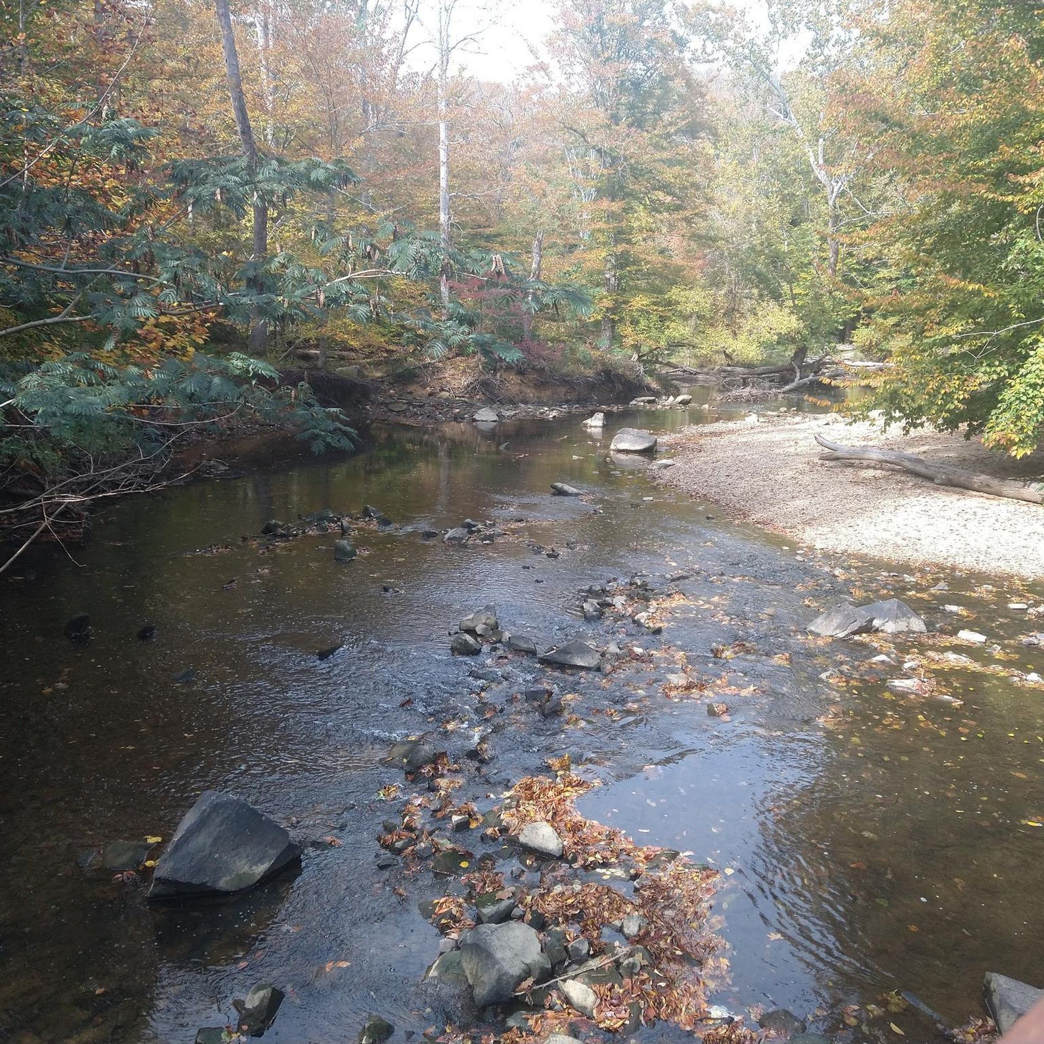

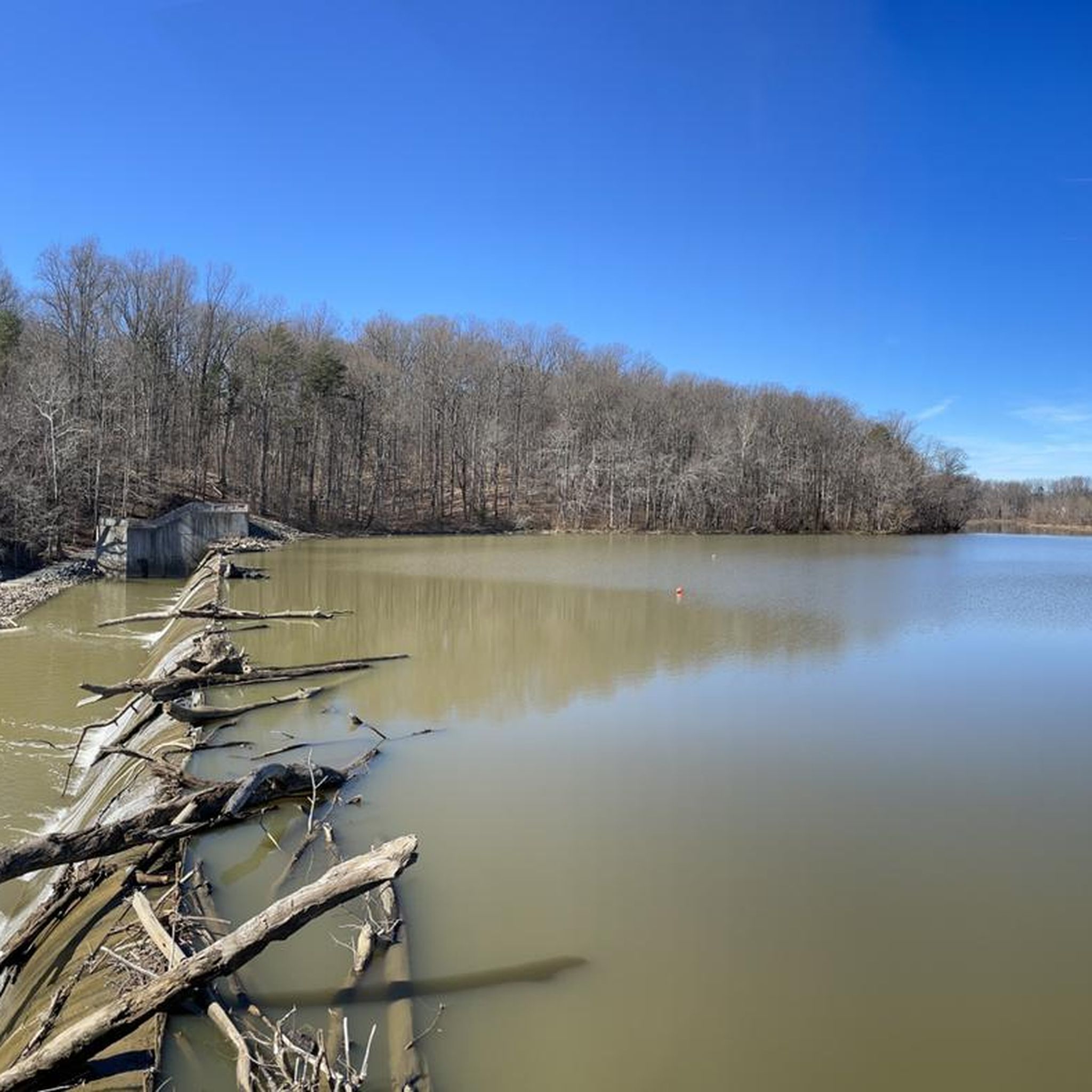
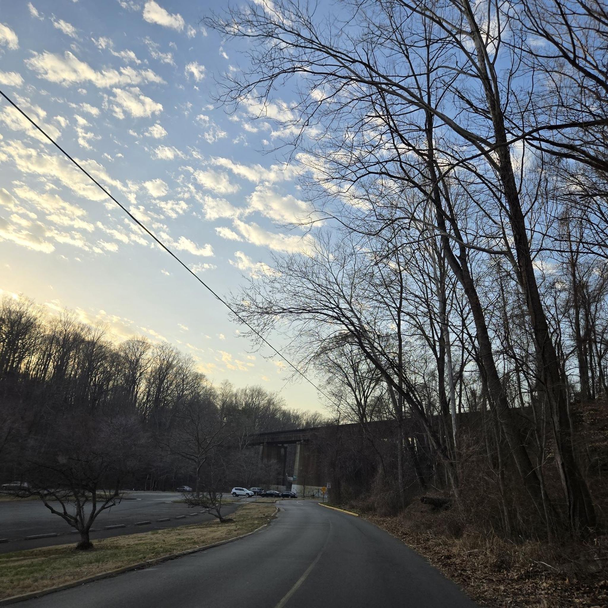

コミュニティからのヒント

Belmont Bay is a lovely stretch of water at the mouth of the Occoquan River. The bay is flanked by three nature reserves: Elizabeth Hartwell Mason Neck National Wildlife Refuge, Mason Neck State Park and the Occoquan Bay National Wildlife Refuge. Keep your eyes peeled for bald eagles and Great Blue Herons. It's also a popular place to go boating.
0
0

The final (or beginning) mile of the C&O Canal stands here, next to the Tide Lock on the Potomac, the true birthplace of the canal. The spot is marked with a stone pillar. Stretching from Cumberland to Washington, DC, this route ends at Mile Post 0, where hikers and bikers can definitively mark the start or finish of their journey along the historic canal. The towpath follows the canal’s full 184.5 miles to its Cumberland, MD, terminus, often extending to 333 miles for those who begin in Pittsburgh on the Great Allegheny Passage (GAP) trail.
1
0

The Capital Crescent Trail follows the north shoreline of the Potomac river downstream into Washington, D.C. Currently the trail is around 7 miles long, but there is an extension planned for the near future.
0
1

This point marks the start of the 185-mile C&O Canal Towpath Trail that runs from Washington D.C. to Cumberland, Maryland. Originally built as a way for mules to tow boats along the canal, it is now converted into a multi-use trail for outdoor enthusiasts of all stripes.
1
0
Gravelly Point Park is overseen by the Nation Park Service as it lies within the George Washington Memorial Parkway. This unique location gives visitors an amazing opportunity to see planes taking off and landing at Ronald Reagan Washington National Airport. There is also an excellent view of the Washington Monument on the other side of the Potomac.
1
0
The Mount Vernon Trail is an 18-mile scenic path in Virginia that runs along the Potomac River, connecting Gateway Park in Rosslyn to George Washington’s Mount Vernon old estate. The trail has great views of the Washington D.C. monuments, the Kennedy Center, and passes through parks, wetlands, and historic sites like Old Town Alexandria. Popular for biking, walking, and running, it also links with other regional trails, including the Custis, Four Mile Run, and Woodrow Wilson Bridge Trails. Developed by the National Park Service with local volunteers, it now attracts approximately a million users annually.
0
0
Rock Creek Trail is a popular spot for foot traffic. Starting from the parking lot off Virginia Avenue, the paved path follows Rock Creek, passing landmarks like the William Howard Taft Bridge and Peirce Mill. Along the route hikers can find picnic areas, restrooms, and drinking fountains. Open year-round, the trail welcomes dogs, with some areas allowing off-leash.
0
0

around Springfieldの人気観光スポット

komootモバイルアプリでインスピレーションを得よう


さらに探索
他の地域の最高のロードサイクリングルートを見てみましょう。
