クシュニッツの峠・トップ20
風景を楽しんだり、上りや下りを満喫したり、峠には楽しみ方がたくさんあります。クシュニッツの素晴らしい峠の一覧を参照して、思い出に残るアドベンチャーに出かけましょう。コミュニティのメンバーがコミュニティのために投稿した峠のハイライトは、他のユーザーが実際におすすめする情報なので、どれも信頼できるものです。気に入った峠にさっそく向かってみましょう。
最終更新日: 10月 13, 2026
ブレンナー・グレンツカムシュトラーセ
ハイライト (セグメント) • トレイル
翻訳者 Google •
役立つ情報 は

ブレンナー峠の廃墟となった軍事用バンカー
ハイライト • 記念碑
Be careful of “loose” stones - they can hit the trail again downhill
翻訳者 Google •
役立つ情報 は

今すぐサインアップして、こんな場所を発見しよう
最高のシングルトラック、ピーク、その他のエキサイティングなアウトドアスポットのおすすめを受け取ろう。
ペイルヨッホ
ハイライト • 山道
翻訳者 Google •
役立つ情報 は

ツヴェルファーニーダー
ハイライト • 山道
翻訳者 Google •
役立つ情報 は

ブレンナー・グレンツカム道路
ハイライト • トレイル
翻訳者 Google •
役立つ情報 は

無料でサインアップして、さらに多くの山道を発見しましょう クシュニッツでの。
すでにアカウントをお持ちですか?
無料アカウントで今日から始めよう
次の冒険が待っています。
クシュニッツ周辺で人気
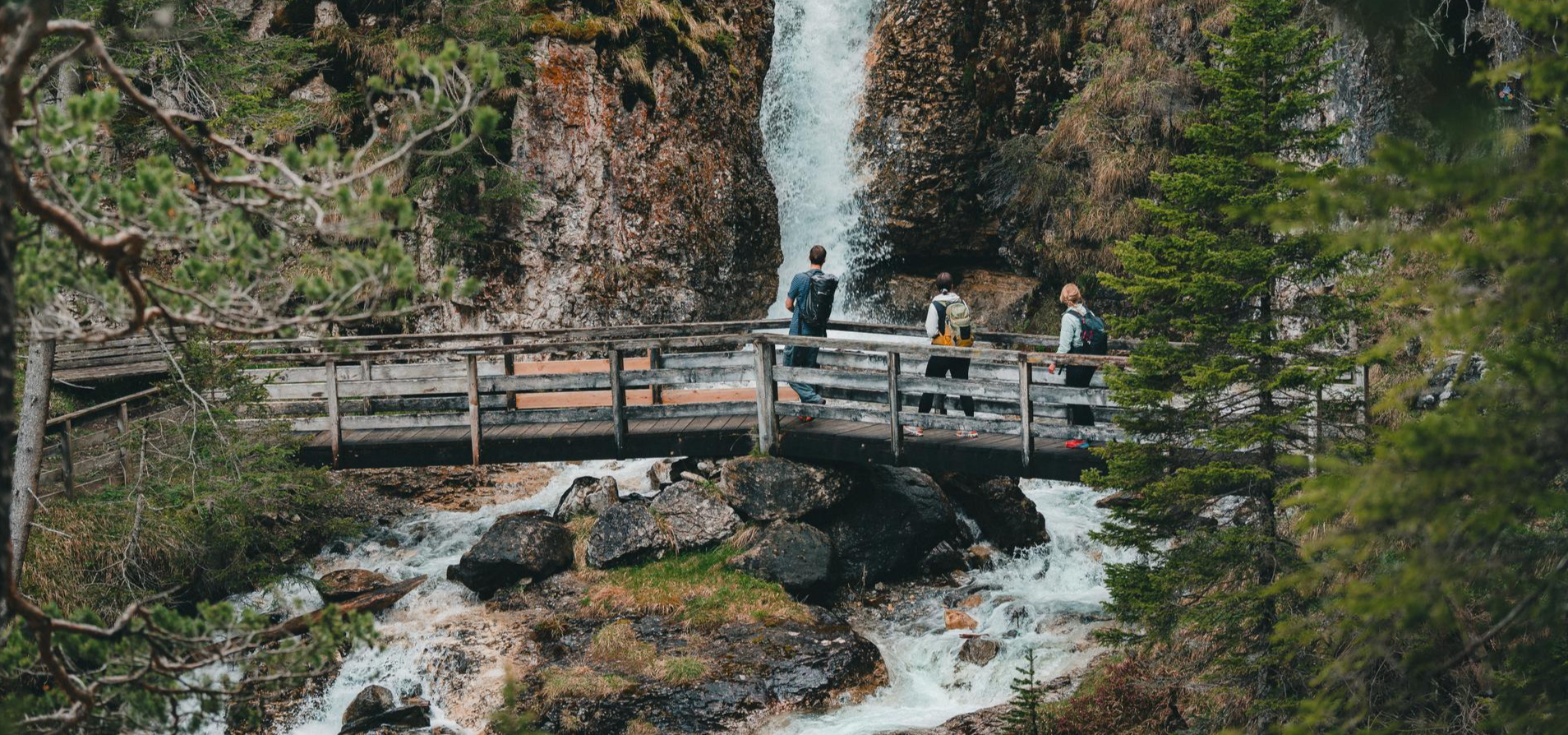
Idyllic mountain lakes and rushing waterfalls – hiking in the Wipptal
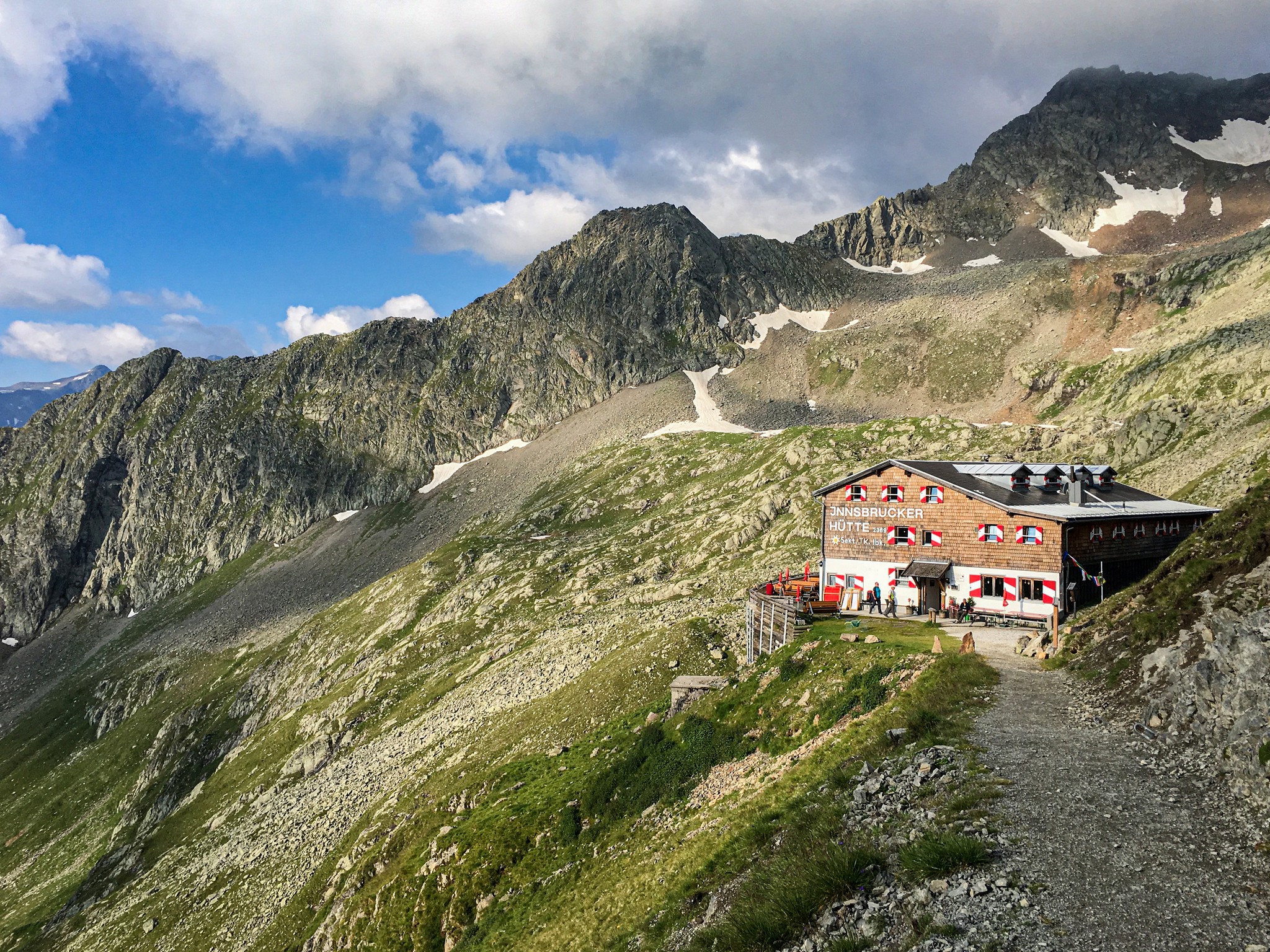
Gschnitztal Hüttenstern – 6 glorious day hikes to mountain huts
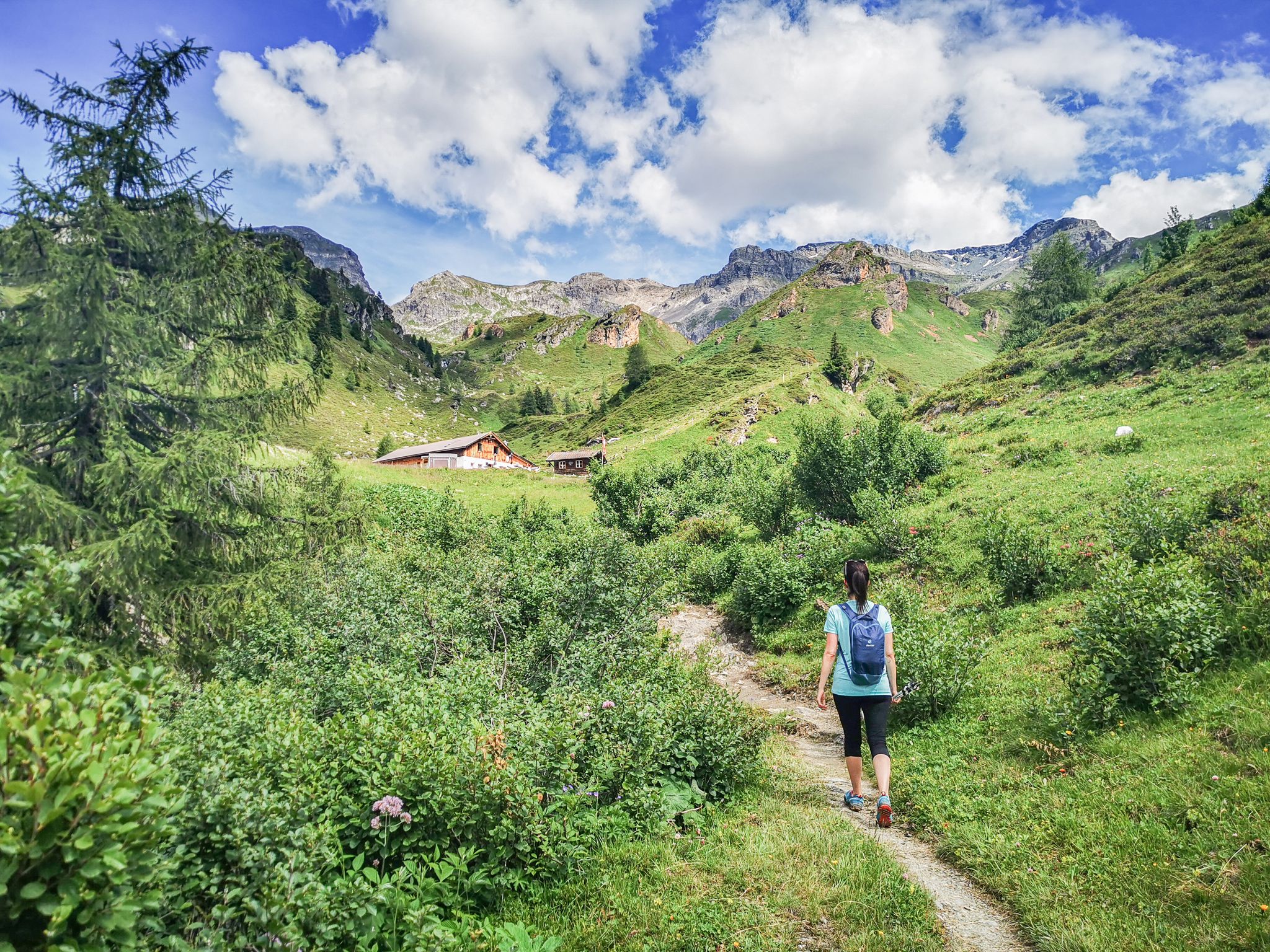
5 culinary alpine and hut hikes in Austria's Wipptal
ストゥバイアーアルペン縦断 - 純粋な冒険10日間
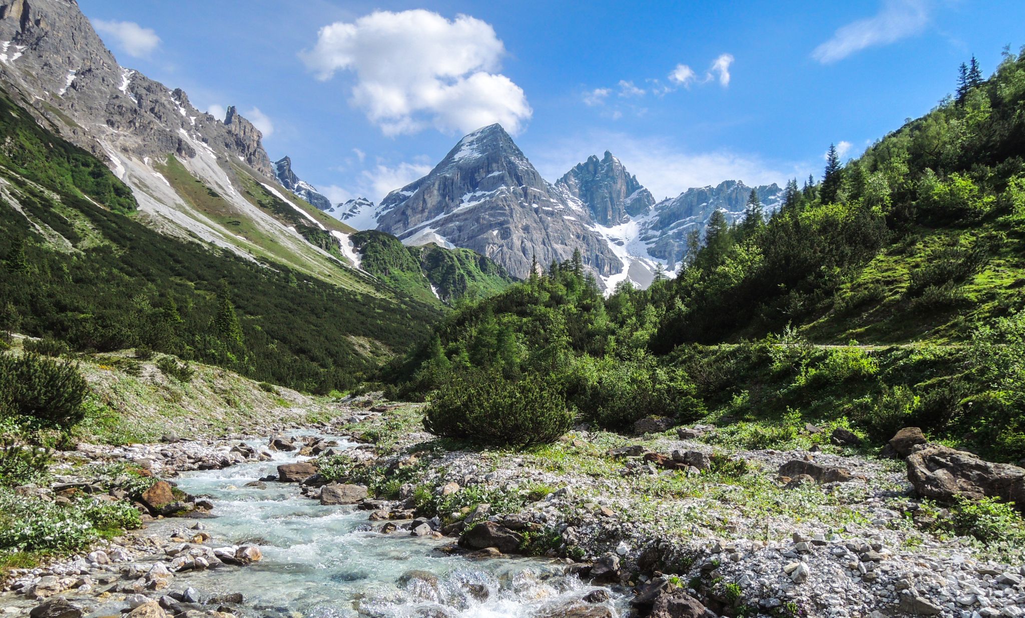
A journey of discovery in Tyrol – hidden places in the Wipptal Valley
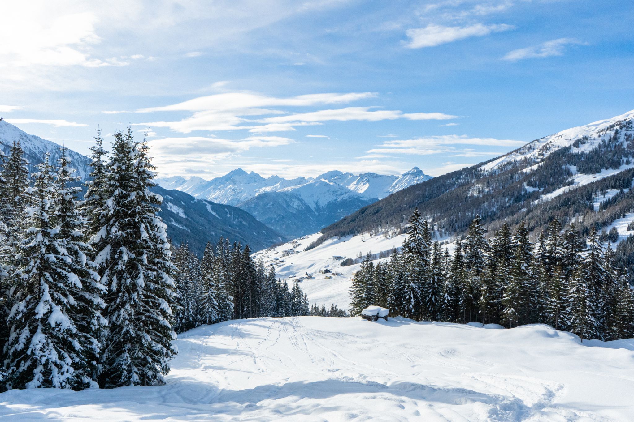
Your winter in Austria’s Wipptal Valley: 10 tips for adventuring in the snow
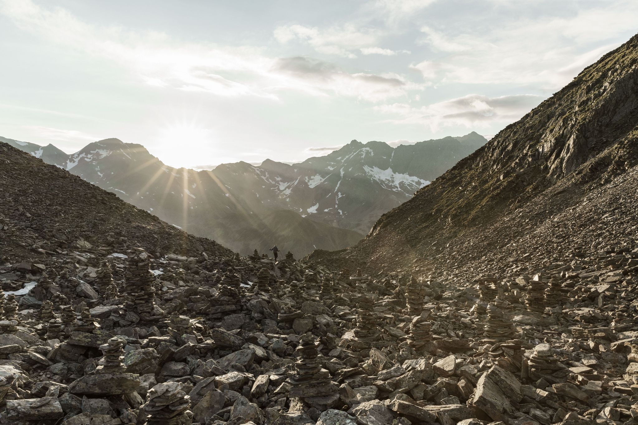
A breath of ALPINE air on the Stubai High Trail — GREAT WALKS
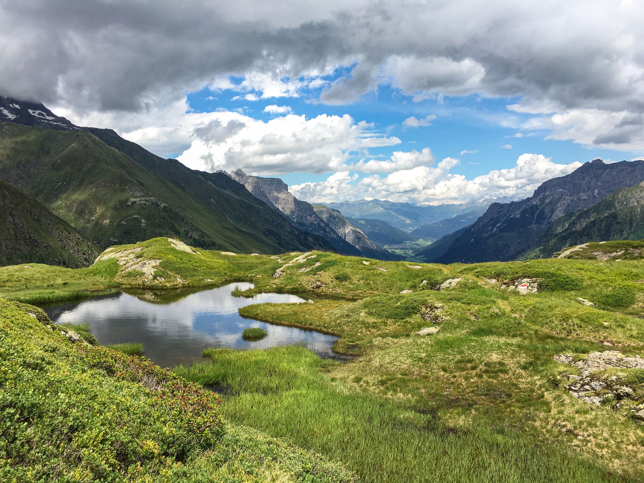
Lonely lakes and thundering waterfalls – magical places in the Wipp Valley
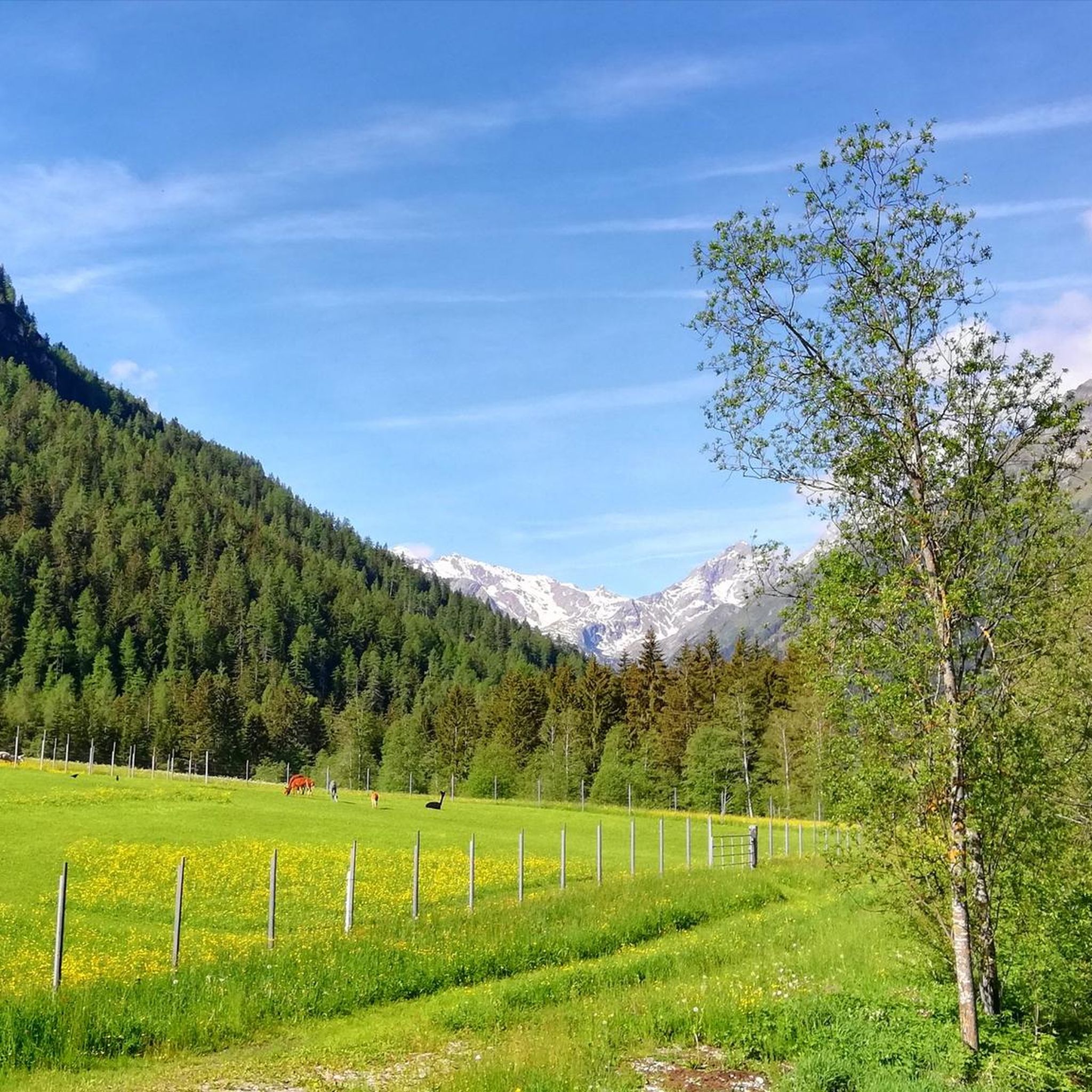
クシュニッツでのハイキング
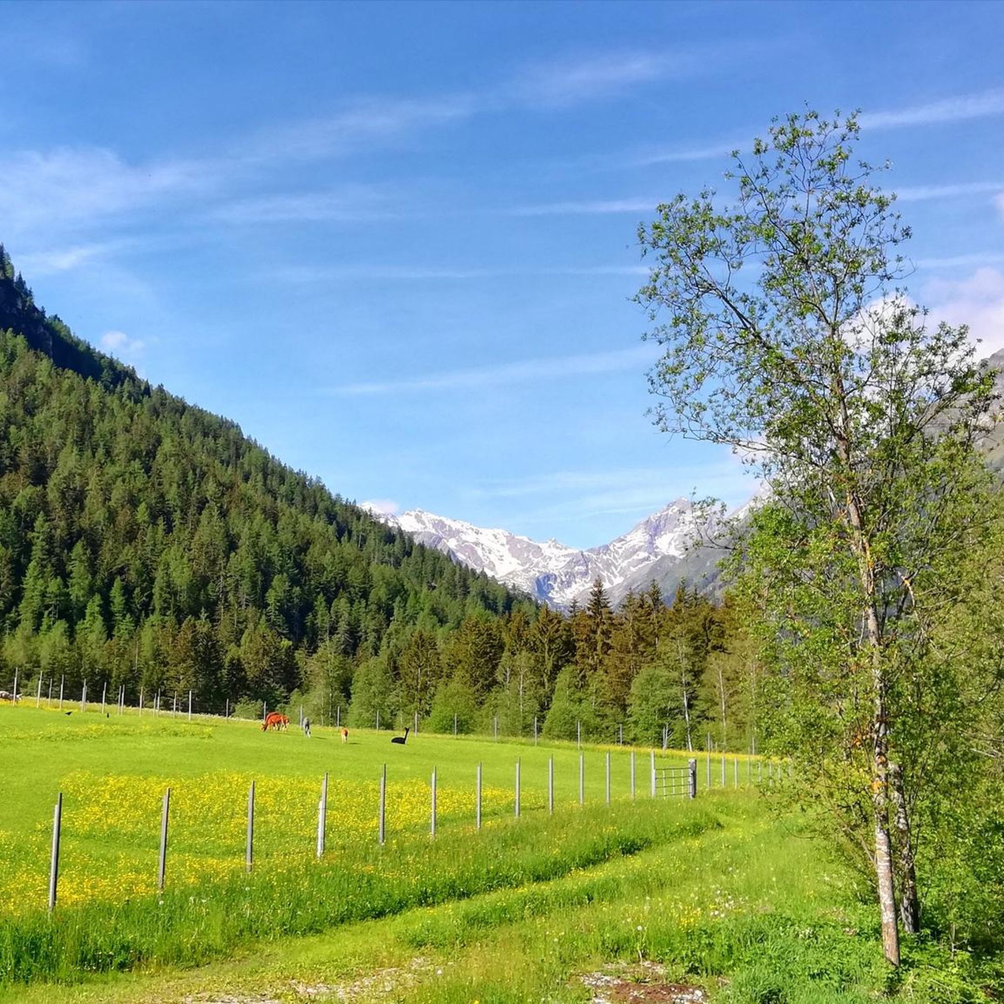
クシュニッツでのサイクリング


コミュニティからのヒント

絶対必見です。アルプス越えの際に時間があれば、ぜひ計画に組み込んでください。ただそこを走るだけで、信じられないような景色、見て触れることができる歴史、ただ見る価値があり、体験する価値があります。
0
0


A beautiful border ridge road with a great panorama!!!
2
0

The Zwölfernieder is a 2,300-meter-high pass below the Elferspitze. It connects the Pinnistal with the Stubai Valley.
2
0
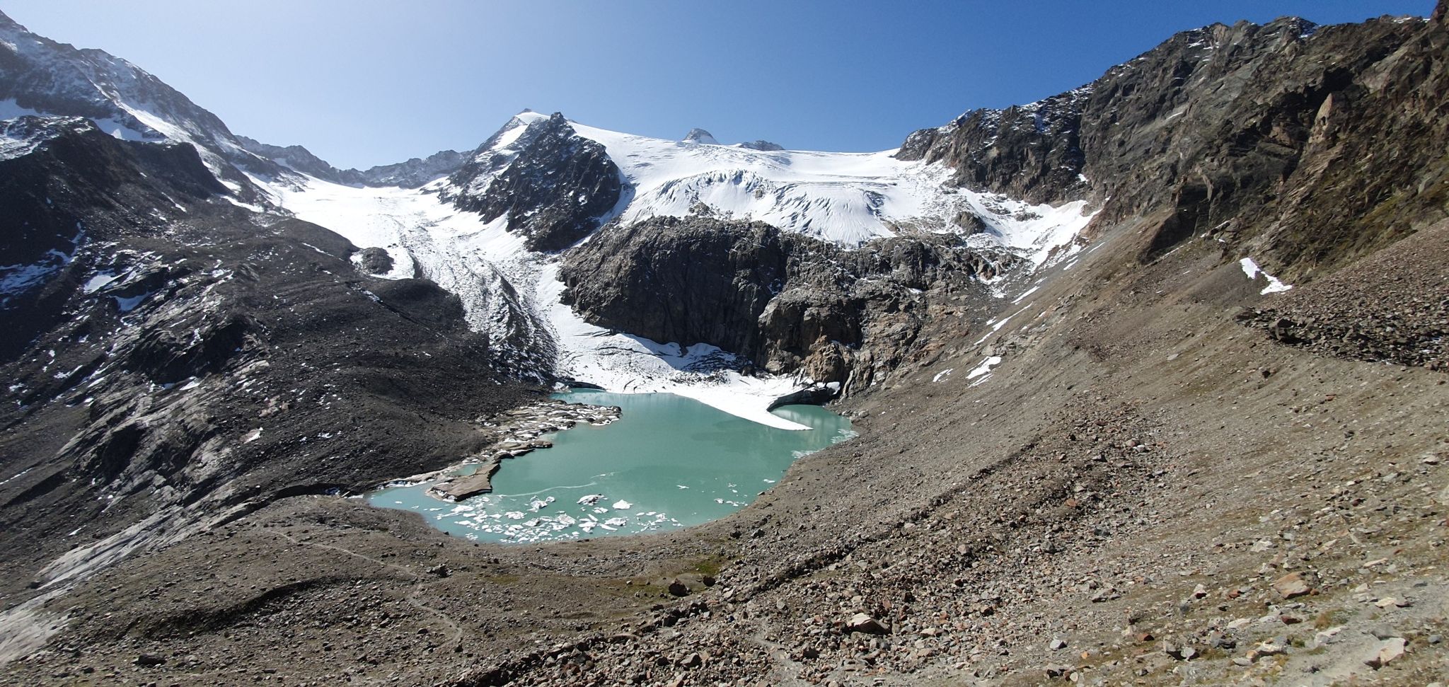
The Beiljoch, also called Peiljoch, is a narrow alpine pass above the Dresdner Hütte. The approach to the pass is secured with wire ropes due to its partially exposed areas. Concentration and surefootedness are required on the climb! Once you reach the pass, you have a beautiful view of the Sulzenausee, which is the end of the Sulzenauferner. Ice floes are constantly floating in the deep blue water.
2
0

Really great access road. Super beautiful views. Doable for all mountain bikers!
2
0

You can see it clearly in the video here (click the blue link to get to the right time): https://youtu.be/vzWTEY3Iyy0?si=ElXSHJP32LK_ZfbT&t=332
2
1

komootモバイルアプリでインスピレーションを得よう


さらに探索
これらのガイドでさらに壮大な山道を見てみましょうクシュニッツでの:
