ゲツィスの湖・トップ20
次の冒険でゲツィスの素晴らしい湖を訪れてみませんか?湖畔の穏やかな雰囲気や、天気が良い日のひと泳ぎは格別です。komootコミュニティがおすすめするゲツィスの素晴らしい湖の一覧を参考にして、次の冒険では湖をもっと満喫しましょう。
最終更新日: 9月 7, 2026
シュタウフェン湖の滝とダム
ハイライト • 滝
翻訳者 Google •
役立つ情報 は

シュタウフェン湖
ハイライト • 湖
翻訳者 Google •
役立つ情報 は

今すぐサインアップして、こんな場所を発見しよう
最高のシングルトラック、ピーク、その他のエキサイティングなアウトドアスポットのおすすめを受け取ろう。
シュヴァルツァー湖(ザッタインス)
ハイライト • 湖
The Black Lake is located in the municipality of Satteins,
The body of water is located in the immediate vicinity of the municipal border between Satteins and …
翻訳者 Google •
役立つ情報 は

ヴィッヒェンシュタイン湖
ハイライト • 湖
The Wichensteiner See is located in the municipality of Oberriet at the eastern foot of the Semelenberg. A clay pit operated on the area of the present …
翻訳者 Google •
役立つ情報 は
ヴィッヒェンシュタイン湖展望台
ハイライト • 展望台
The Wichensteinsee is located in the municipality of Oberriet at the eastern foot of the Semelenberg. A clay pit was operated on the area of today's lake …
翻訳者 Google •
役立つ情報 は
無料でサインアップして、さらに多くの湖を発見しましょう ゲツィスでの。
すでにアカウントをお持ちですか?



コミュニティからのヒント

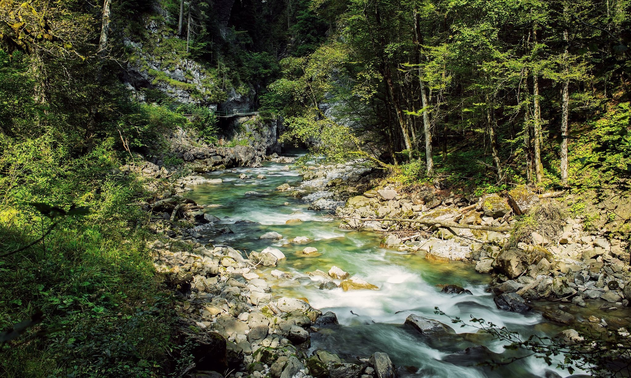
シュタウゼン湖のダム壁は湖の北端を形成しており、ラッペンロッホ渓谷を抜けるハイキングコース上の際立った建造物です。壁のすぐ下では、水が人工の滝となってドゥルンビルン川に流れ落ち、印象的な自然の光景を作り出しています。 貯水池自体はほとんど空でした。これは、アッペルロッホ渓谷の入り口にある新しい水力発電所の建設作業員のせいかもしれません。
9
0


The waterfall is formed by the overflow of the Staufensee reservoir. The reservoir currently has very little water. The weir was recrossed. The path is accessible on the right side (coming from the Rappenloch Gorge).
4
0

Wichenstein Nature Reserve, Oberriet The extensive Wichenstein Nature Reserve, with its biotope and set against the backdrop of an imposing limestone cliff, is an important nesting site for forest, hedge, and water birds. This wetland also provides a habitat for many insects, frogs, and amphibians. Wichenstein, with its over 20 hectares of land, is considered a reserve of supra-regional importance. It offers a place of peace and relaxation. A fire pit is located in the immediate vicinity of the pond. Text / Source: Municipality of Oberriet https://www.oberriet.ch/natur/7484
13
3
Wichenstein Nature Reserve, Oberriet The extensive Wichenstein Nature Reserve, with its biotope and set against the backdrop of an imposing limestone cliff, is an important nesting site for forest, hedge, and water birds. This wetland also provides a habitat for many insects, frogs, and amphibians. Wichenstein, with its over 20 hectares of land, is considered a reserve of supra-regional importance. It offers a place of peace and relaxation. A fire pit is located in the immediate vicinity of the pond. Text / Source: Municipality of Oberriet https://www.oberriet.ch/natur/7484
14
0
Wichensteiner See, Oberriet The Wichensteiner See is located in the municipality of Oberriet at the eastern foot of the Semelenberg. A clay pit operated on the area of the present lake from 1830 to 1972. The lake lies at an elevation of 420 meters above sea level and has a maximum depth of approximately 5.5 meters. It is divided into a smaller northern basin and a larger southern basin. The area was acquired by the municipality of Oberriet in 1976 and declared a nature reserve in 1982. East of the lake lies the "Grube Loo" (Loo Pit) – also a former clay pit – which, together with the Wichensteiner See, is a fen of regional importance and an amphibian spawning area of national importance. The lake is fed, in addition to underground springs, by the Wichensteinerbach stream, which drains the northern foot of the Semelenberg. The outflow structure leads into the Aubach stream. Text / Source: Canton of St. Gallen, Office for Environment and Energy https://www.sg.ch/content/dam/sgch/umwelt-natur/wasser/seen-und-weiher/02-01--gew%C3%A4sserqualit%C3%A4t-seen/kleinseen-und-weiher/Wichtensteiner%20See%20Oberriet.pdf
15
0

Unfortunately there was no water in the lake, so you could walk right through it
3
0

Beautiful platform for bird watching and nature watching.
8
0

komootモバイルアプリでインスピレーションを得よう


さらに探索
まだ完璧な湖が見つかりませんかゲツィスでの?これらの地域のガイドをチェックして、さらに美しい場所を見てみましょう。
