アメリカ合衆国の滝・トップ20
そこへたどり着くまでの移動手段がなんであれ、息を呑むような体験をもたらしてくれる滝。アメリカ合衆国には行ってみたい20
の美しい滝があります。次のアウトドアの旅で行きたい滝を決められるよう、それぞれの滝についての写真や役立つ情報を以下に掲載しています。参考にして、スムーズに次の冒険を計画しましょう。
最終更新日: 8月 30, 2026
スノコルミー滝
ハイライト • 滝
翻訳者 Google •
役立つ情報 は

ヴァーナル滝
ハイライト • 滝
役立つ情報 は

今すぐサインアップして、こんな場所を発見しよう
最高のシングルトラック、ピーク、その他のエキサイティングなアウトドアスポットのおすすめを受け取ろう。
無料新規登録
ネバダ滝
ハイライト • 滝
Nevada Fall is a 594-foot (181 m) high waterfall on the Merced River in Yosemite National Park, California. …
役立つ情報 は

ミストトレイル:ヴァーナル滝&ネバダ滝(ヨセミテ)
ハイライト (セグメント) • 滝
役立つ情報 は

ヨセミテ滝トレイル
ハイライト (セグメント) • トレイル
原文を表示中
•
役立つ情報 は
メアリミア滝
ハイライト • 滝
役立つ情報 は
ワイモク滝
ハイライト • 滝
翻訳者 Google •
役立つ情報 は

ミラージュ ホテル&カジノ
ハイライト • 滝
The …
翻訳者 Google •
役立つ情報 は

ダーク・ホロウ滝
ハイライト • 滝
役立つ情報 は


無料アカウントで今日から始めよう
次の冒険が待っています。
ログインまたは登録
アメリカ合衆国周辺で人気

Like in the movies – road trip through the USA's south
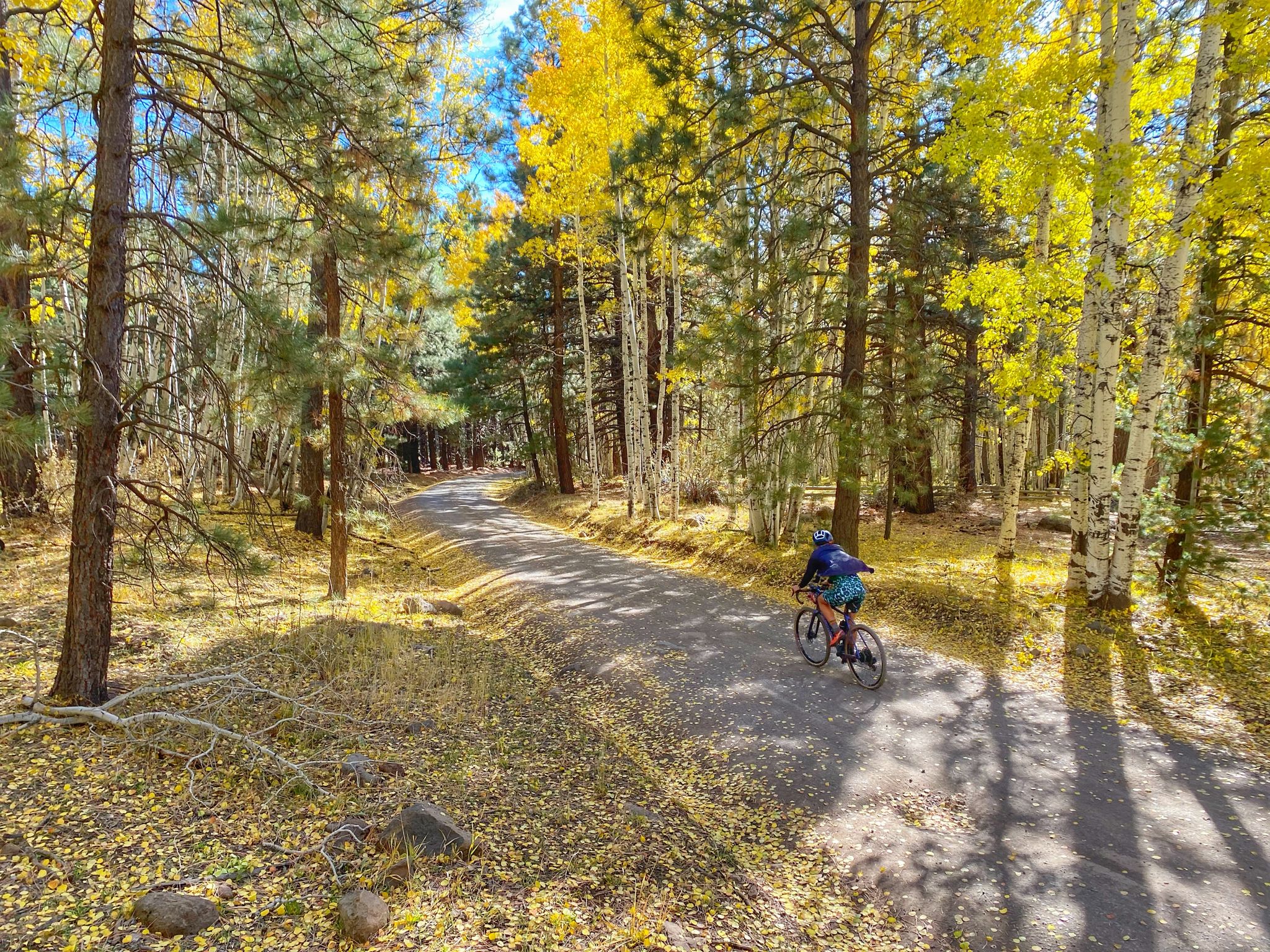
グランドキャニオンからマウントハンフリーズへ — ラン、バイク、ランの冒険
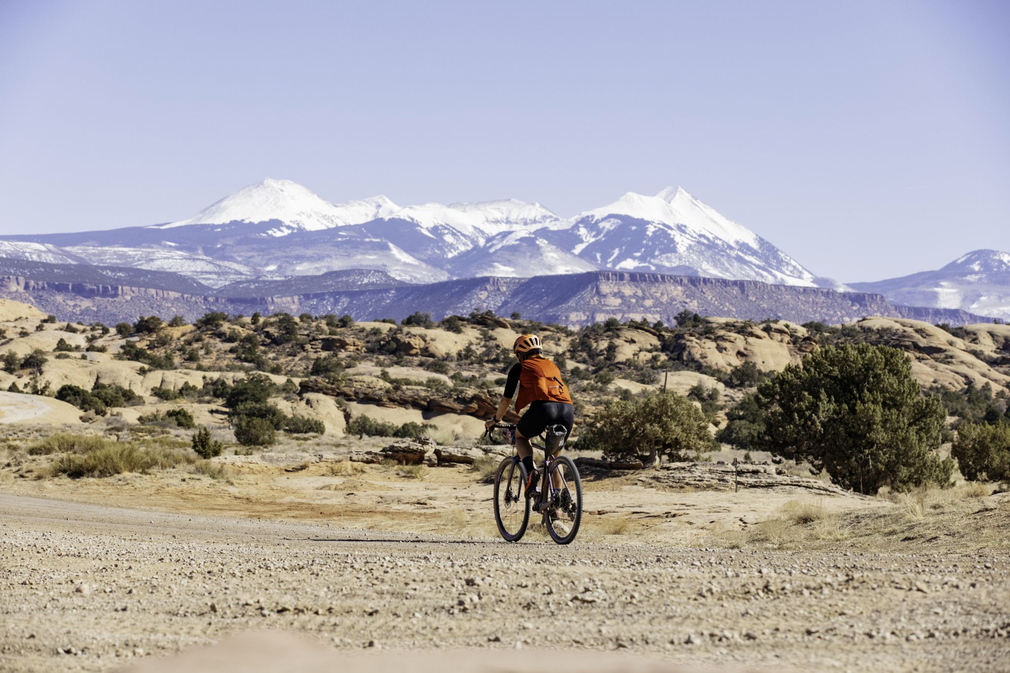
ユータ州のロードトリップ:山のトレールランニングとグラベルライディング

トライアスロン360 – 私の世界を回る旅

伝説のジョン・ミューア・トレイルを通じて、幻のシエラネバダを沿う

ロッキー山脈の凄まじい10日 — コロラドトレイル
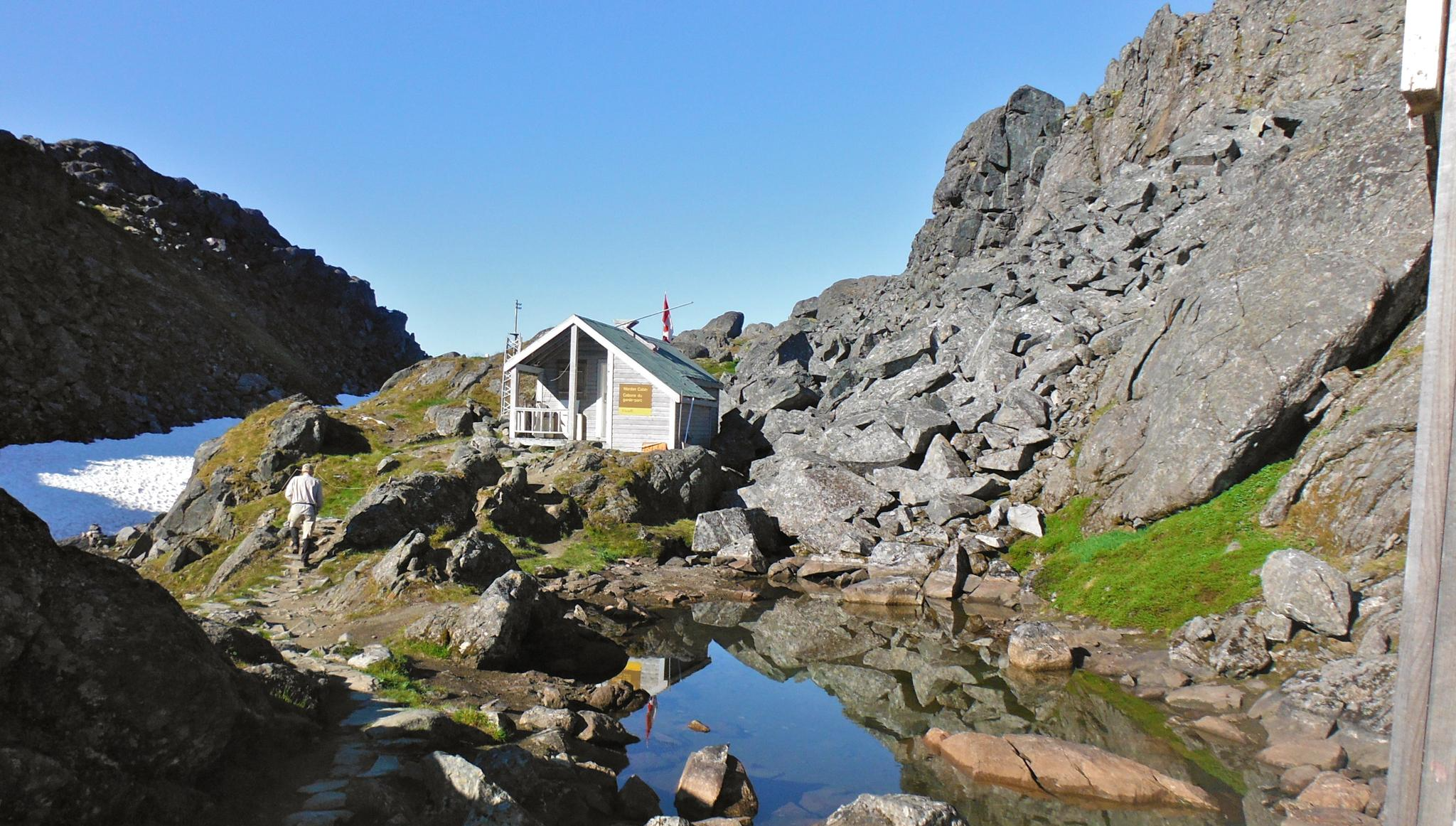
チルクートトレイル — そびえ立つ山々の間のゴールドラッシュの歴史
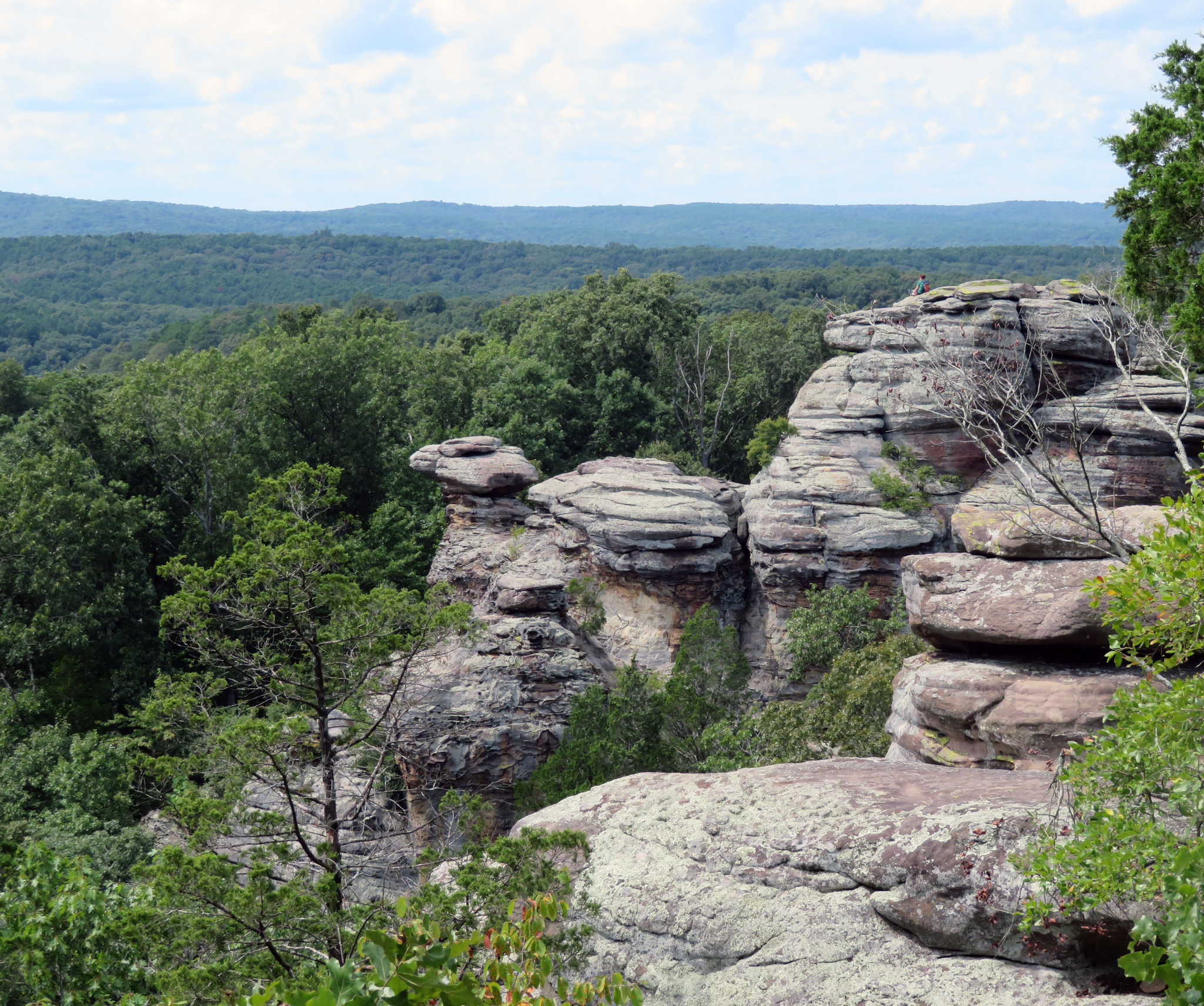
River to River Trail — イリノイを横断するパッチワークの旅
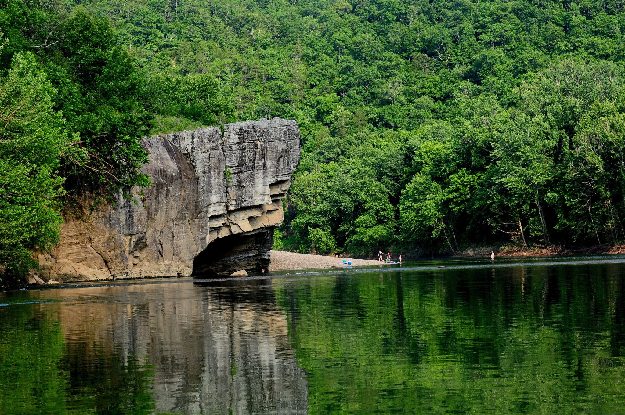
Ozark Highlands Trail: Falling Water Creek Trailhead to Dillard's Ferry — バッファロー川沿いのHiking
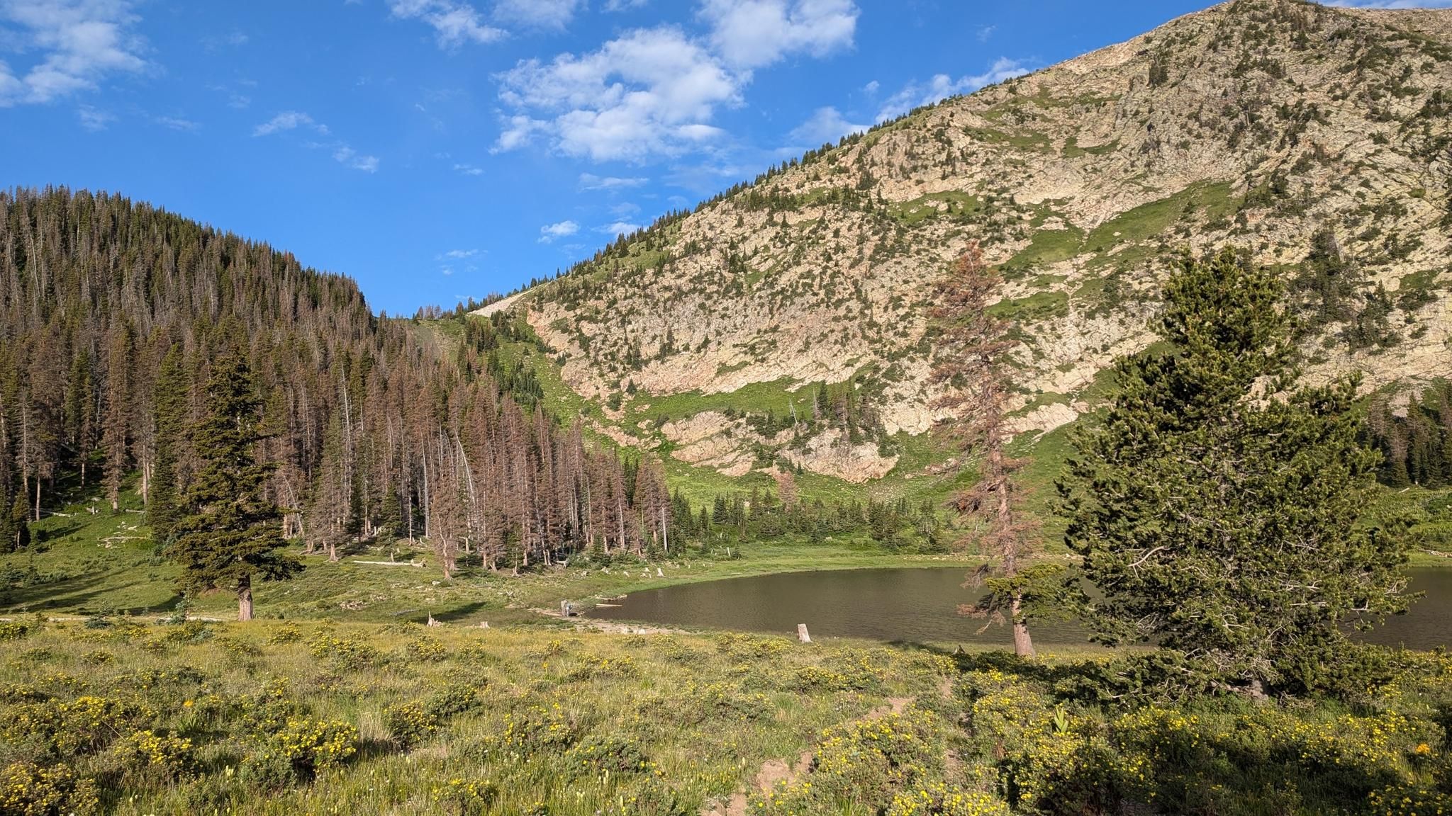
サンタフェからタオスまでのスルーハイク — サングレ・デ・クリスト山脈を横断する旅
アメリカ合衆国でのの他の冒険


コミュニティからのヒント


The Mist Trail is much easier to hike uphill in early summer (snowmelt) than downhill because it becomes very slippery. Instead of returning the same way, it's recommended to head a little further upstream, turning right, onto the John Muir Trail—not only because of the slippery descent, but also because this leads to the best vantage point for Vernal Falls (marked on the map). Especially when the Merced River is full, the view is spectacular. The descent on the John Muir Trail is then much easier. Warning for photographers: During snowmelt, only take photos in the "splash zone" with a truly waterproof (submersible!) camera—and pack any other camera in a completely waterproof bag beforehand and only unpack it again at the top. Several careless camera owners have destroyed their equipment on this trail. I once heard a man at the top complaining about a broken Hasselblad – it was in his backpack, but obviously not completely waterproof. The fine mist penetrates everywhere, and even with a rain jacket, you end up wet like you've just taken a shower. On warm summer days, the trail is extremely crowded, with several thousand visitors on just a few kilometers of trail.
0
1

Brandywine Falls, Sagamore Hills, United States 🇺🇸 Brandywine Falls stands as a magnificent natural spectacle within the verdant embrace of Cuyahoga Valley National Park. This stunning waterfall, plunging over sixty feet, is a testament to the powerful forces of nature that have sculpted the landscape over millennia. The surrounding geological formations, rich in shale and sandstone, provide a dramatic backdrop to the cascading waters, creating a picturesque scene that captivates visitors throughout the year. The diverse flora and fauna of the park further enhance the experience, offering glimpses of wildlife amidst the tranquil beauty of the falls. The area around Brandywine Falls is steeped in history, with remnants of early industrial endeavors and the enduring legacy of the Ohio & Erie Canal. Trails winding through the park offer opportunities to explore this rich past, connecting visitors to the stories of those who lived and worked along these waterways. The interplay of natural beauty and historical significance makes a visit to Brandywine Falls not only a visual delight but also an educational journey, revealing layers of human and geological history within the park. For those seeking to immerse themselves in nature, Brandywine Falls provides an ideal escape. Multiple viewing platforms allow for various perspectives of the falls, ensuring that every visitor can find their perfect vantage point for admiration and photography. Beyond the immediate vicinity of the falls, the extensive trail network within Cuyahoga Valley National Park invites hikers, bikers, and nature enthusiasts to discover hidden gems and breathtaking vistas, making it a perfect destination for outdoor adventure and peaceful contemplation.
1
0

You get really wet when you go up the steps at Verna Fall
0
0

A remarkable natural spectacle, accessible via an easy hike, partly along wooden plank paths. Direct access is prohibited.
0
0

Marymere Falls is a waterfall near Lake Crescent inside Olympic National Park. It is reached via a 0.9-mile dirt trail that meanders through an old-growth forest of fir, cedar, hemlock, and alder trees. The trail includes two wooden bridges and leads to the 90.5-foot falls, fed by Falls Creek. The creek flows into the beautiful, milky blue waters of Barnes Creek, its color milky due to glacial flour.
0
0

Unfortunately, the Mirage closed its doors forever this week and had to make way for something new.
2
1
If there is a lot of water in the Merced River (early summer), then it is definitely worth taking the path from Vernal Falls up to the John Muir Trail, as marked on my route: The photo of the waterfall from there is, in my opinion, one of the most beautiful photos in the entire park. This return route is also recommended for another reason, especially at this time of year: The Mist Trail leads steeply down slippery, wet steps up to half a meter high - and is not pleasant to walk downhill, especially not at this time of year with a lot of water on it. If you really want to do the fog/rain hike, it is better to go uphill. In terms of photo opportunities, early summer is the best time of year in the entire park. Important: Always pack a rain jacket if you are going on a long tour: The weather can change (even contrary to the weather forecast) faster than you can walk back. I have seen people walk the entire route from Half Dome to the valley (around 4 hours) in shorts and a t-shirt in pouring rain, you should avoid that. PS: I did this hike in 2004, back then there was no (affordable) GPS - so the tracking data is fake, the photos and the paths are not. Just in case someone stumbles across the GPS coordinates that correspond exactly to the Komoot map.
0
0

komootモバイルアプリでインスピレーションを得よう


探していたものは見つかりませんでしたか?
近くの素晴らしい場所をもっと探していますか?これらの地域ごとのガイドで、さらに素晴らしい滝を見てみましょうアメリカ合衆国での:
