シンプロンの絶景の山頂・トップ20
絶景を目指して登るのであれ、達成感のために登るのであれ、山頂を訪れることで、シンプロンの美しい自然をもっと満喫することができます。20
もの選択肢の中から、制覇する山頂を決めるのは簡単ではありません。スムーズに次の冒険で目指す山頂を選べるように、シンプロンの素晴らしい山頂をこのガイドにまとめました。
最終更新日: 10月 24, 2026
ヴァイスミース小屋
ハイライト • 山小屋
翻訳者 Google •
役立つ情報 は

ヴァイスミース山頂
ハイライト • 山頂
翻訳者 Google •
役立つ情報 は

今すぐサインアップして、こんな場所を発見しよう
最高のシングルトラック、ピーク、その他のエキサイティングなアウトドアスポットのおすすめを受け取ろう。
サースフェー
ハイライト • 集落
翻訳者 Google •
役立つ情報 は

ハンニッヒ・ベルクシュタシオンとレストラン
ハイライト • 山小屋
翻訳者 Google •
役立つ情報 は

ホーサース山頂&山岳レストラン
ハイライト • 山頂
翻訳者 Google •
役立つ情報 は
無料でサインアップして、さらに多くの山を発見しましょう シンプロンでの。
すでにアカウントをお持ちですか?
無料アカウントで今日から始めよう
次の冒険が待っています。
シンプロン周辺で人気
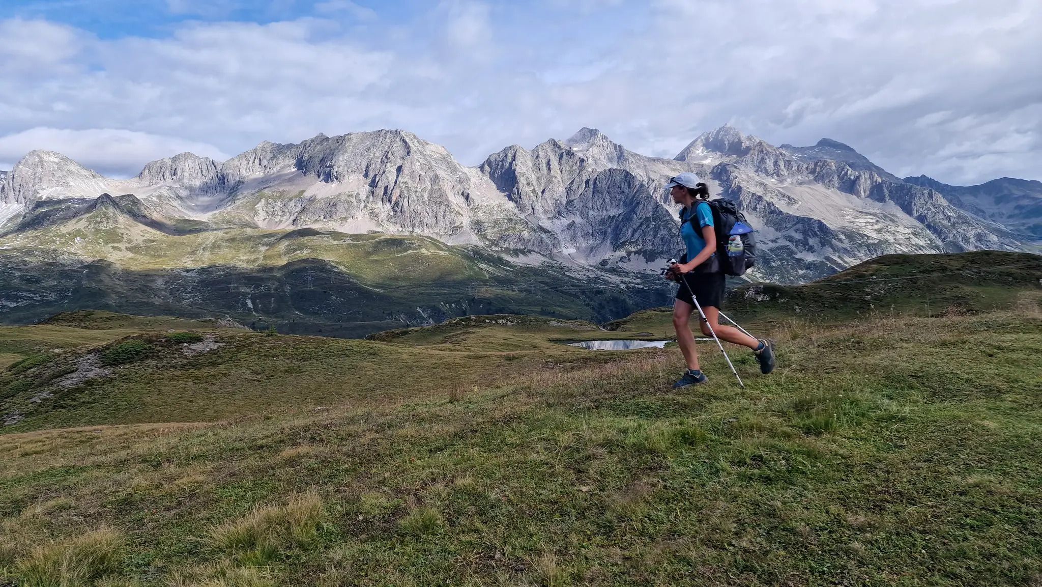
Alpine Passes Trail - サウファーシラールトリアルド 700km インスラールト
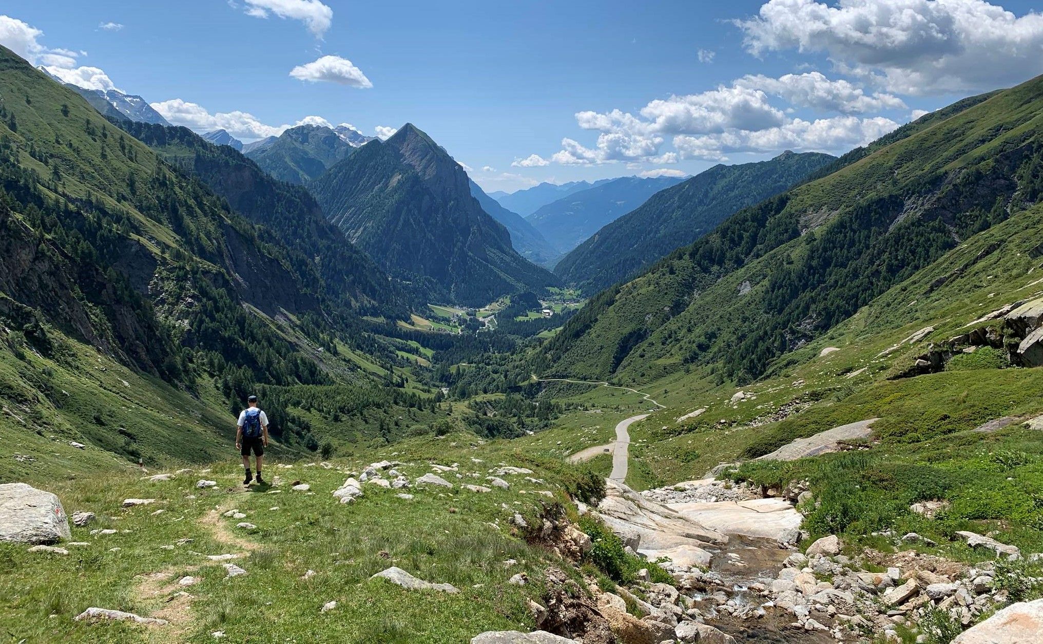
純粋な山の楽しみの34ステージ - スイスのアルプス山峠トレイルでハイキング
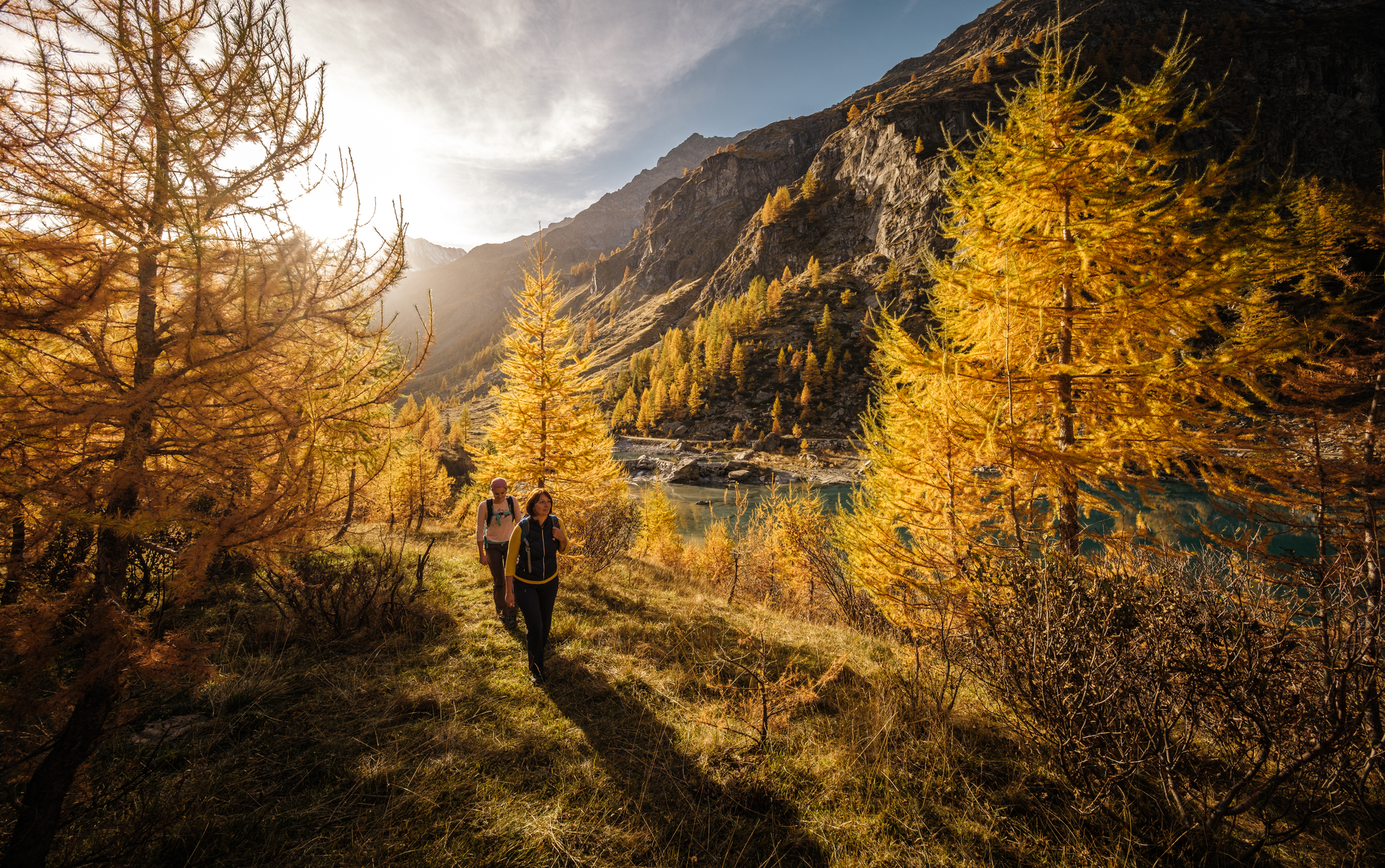
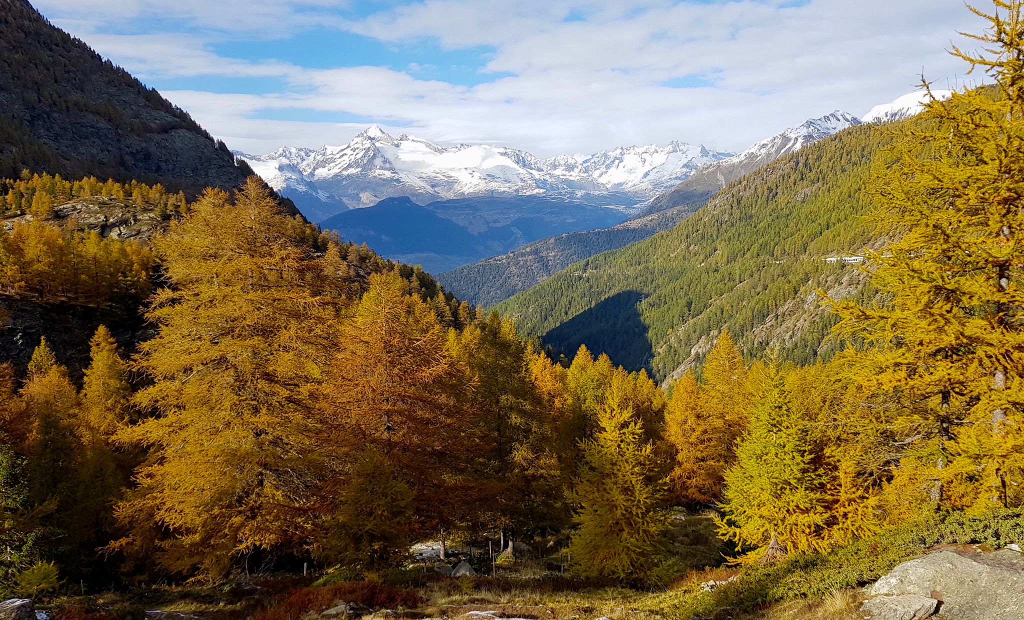
Where the larches turn golden – autumn hikes in Brig Simplon
Devoto Cammino dei Sacri Monti – on the trail of the ancient pilgrims
ViaStockalper - 壮大な自然景観を通じた文化ハイキング
Grandiose glaciers and peaks – panoramic Tours in Switzerland’s Valais
Brig Simplon – Wandern zwischen Pass, See und Schloss

シンプロンのロードバイクルート

シンプロンでのハイキング

シンプロンのMTBトレイル
シンプロンでのの他の冒険


コミュニティからのヒント


The Weissmies is the highest peak of the Weissmies/Lagginhorn/Fletschhorn trio. It is listed on the new maps at only 4017 m; previously, the elevation was given as 4023 m. The six meters of elevation loss is due to the melting of the summit cap, which is made entirely of ice. In return, the secondary peak to the southeast of the highest point (formerly P. 3965) has been upgraded by seven meters to 3972 m.
0
0

When visibility is good, the summit of the Weissmies at 4,013 meters offers a magnificent view of the two other peaks of the Weissmies Group (Fletschhorn and Lagginhorn), as well as the Mischabel Group (with the Dom as its highest point) on the other side of the valley. However, during our ascent, we could see... nothing (fog).
1
1

You could stay here with half board for 85ChF.
22
0
Beautiful mountain restaurant with a great view 😃.
23
0
From here it is only 50m to the summit of the Hohsaas.
17
0
In the immediate vicinity there is a restaurant and the 4,000m trail.
20
0
In a family atmosphere, you will be pampered with Swiss specialties and regional wines at Hohsaas at 3,200 m above sea level.
26
0

komootモバイルアプリでインスピレーションを得よう


