カンダーステッグの峠・トップ20
風景を楽しんだり、上りや下りを満喫したり、峠には楽しみ方がたくさんあります。カンダーステッグの素晴らしい峠の一覧を参照して、思い出に残るアドベンチャーに出かけましょう。コミュニティのメンバーがコミュニティのために投稿した峠のハイライトは、他のユーザーが実際におすすめする情報なので、どれも信頼できるものです。気に入った峠にさっそく向かってみましょう。
最終更新日: 8月 20, 2026
レッチェンパスヒュッテ
ハイライト • 山小屋
翻訳者 Google •
役立つ情報 は

ハーネンムース峠
ハイライト • 山道
翻訳者 Google •
役立つ情報 は

今すぐサインアップして、こんな場所を発見しよう
最高のシングルトラック、ピーク、その他のエキサイティングなアウトドアスポットのおすすめを受け取ろう。
無料新規登録
ゲンミ峠トレイル
ハイライト • トレイル
翻訳者 Google •
役立つ情報 は

チンドベッティ峠
ハイライト • 山道
More info: sac-cas.ch/de/huetten-und-touren/sac-tourenportal/chindbettipass-3246/berg-und-alpinwandern
翻訳者 Google •
役立つ情報 は

セフィネンフルゲのサドル
ハイライト • 山道
翻訳者 Google •
役立つ情報 は

無料でサインアップして、さらに多くの山道を発見しましょう カンダーステッグでの。
無料新規登録
すでにアカウントをお持ちですか?
無料アカウントで今日から始めよう
次の冒険が待っています。
ログインまたは登録
カンダーステッグ周辺で人気
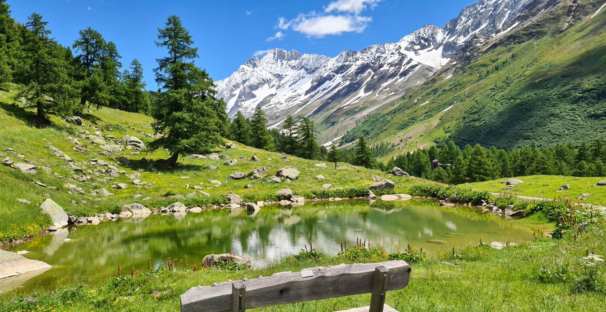
スイスのローチベルグパノラマトレイルでのアルプス眺め4日間
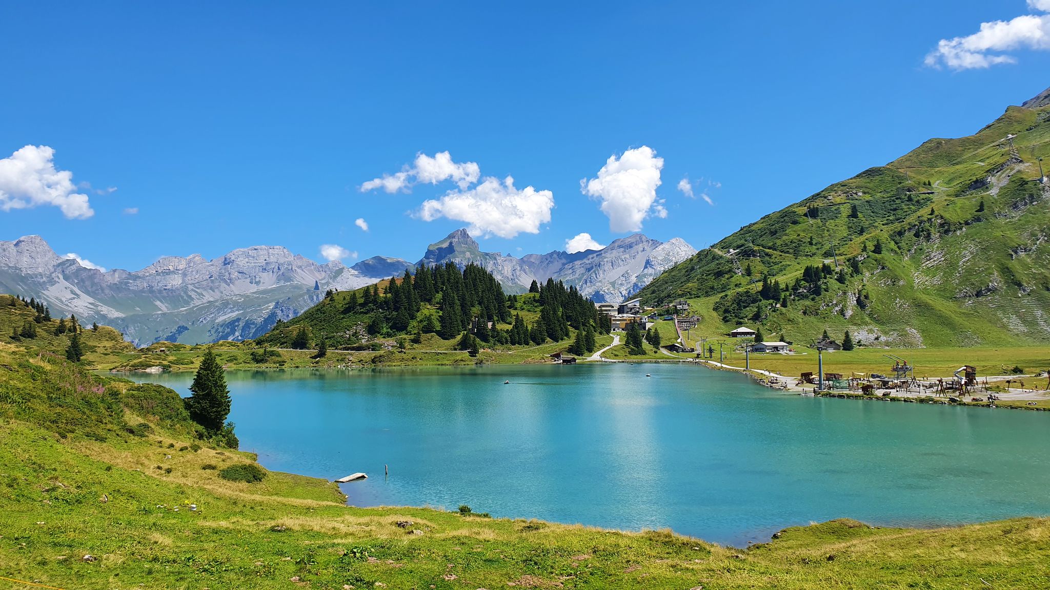
Via Alpina - サーシラバールが一十の目的なる証程
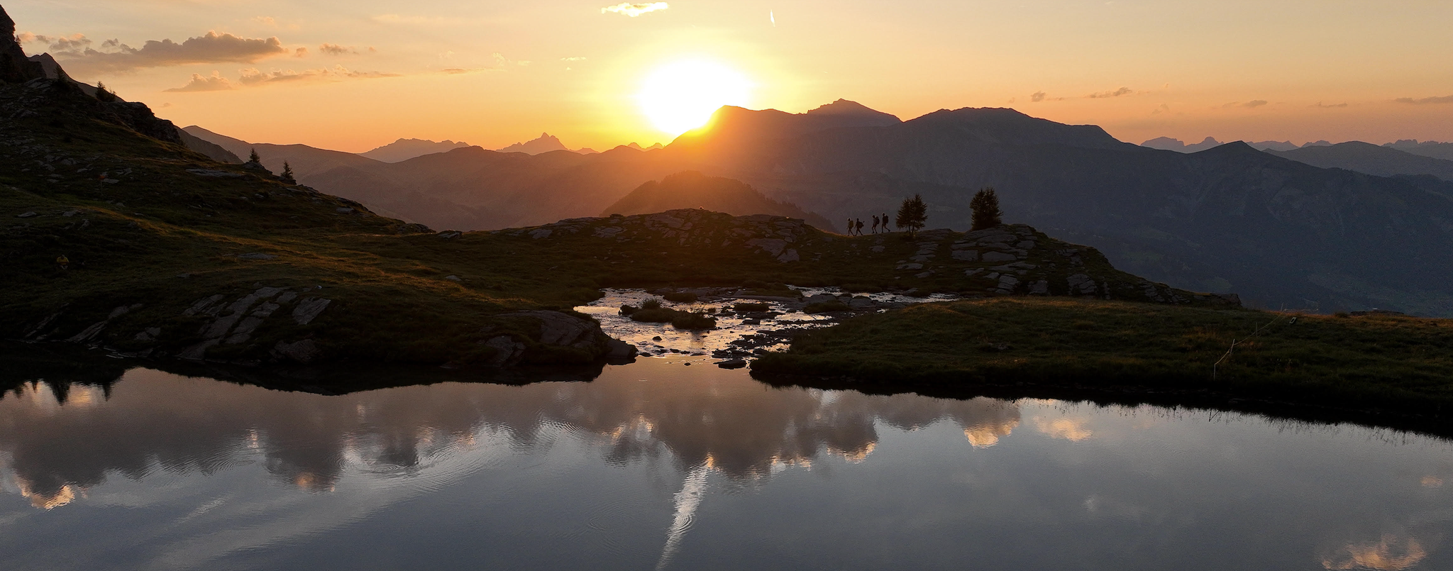
Late Summer: Great Hiking in Adelboden-Lenk-Kandersteg
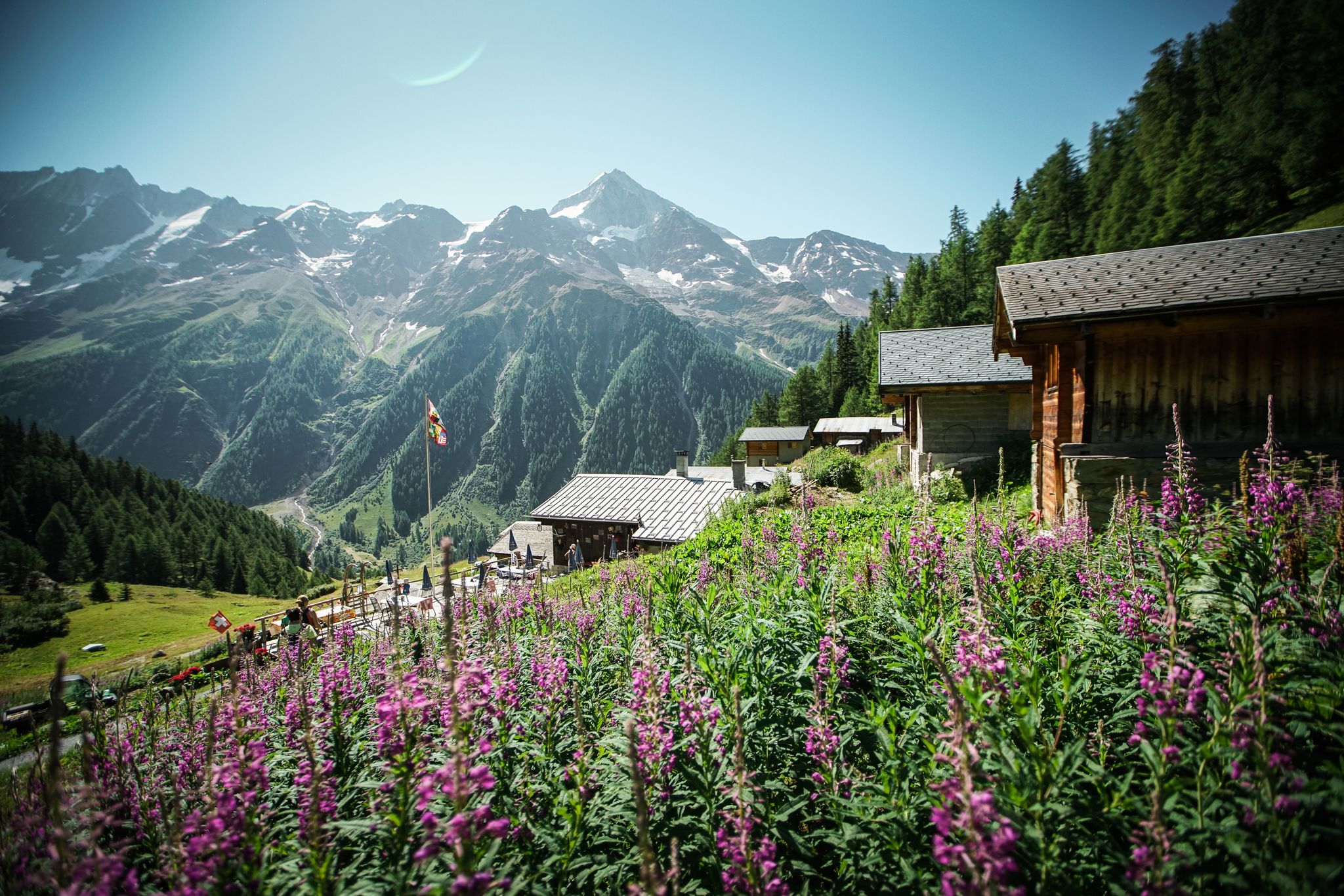
Mountain air, myths and beauty – hiking in the Lötschental
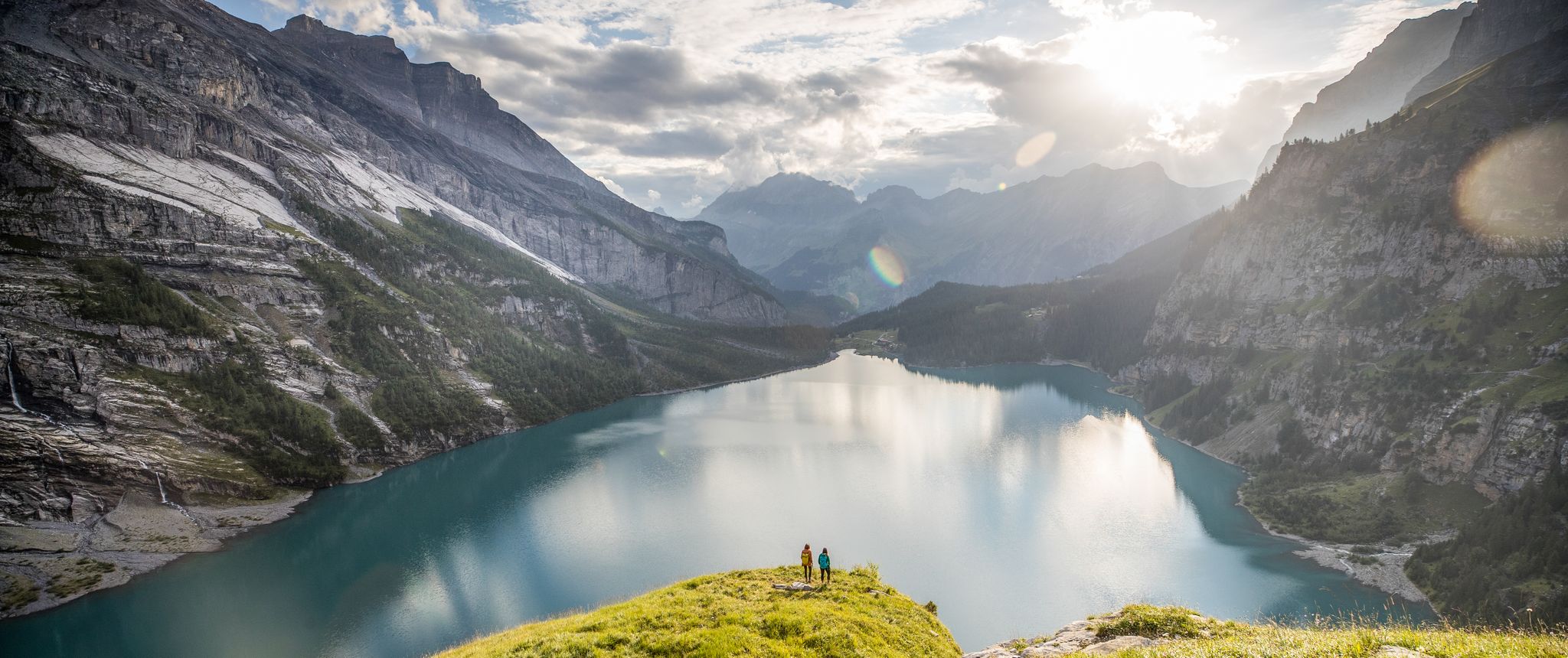
Glittering mountain lakes around Bern – Blogger Hike Challenge 2019
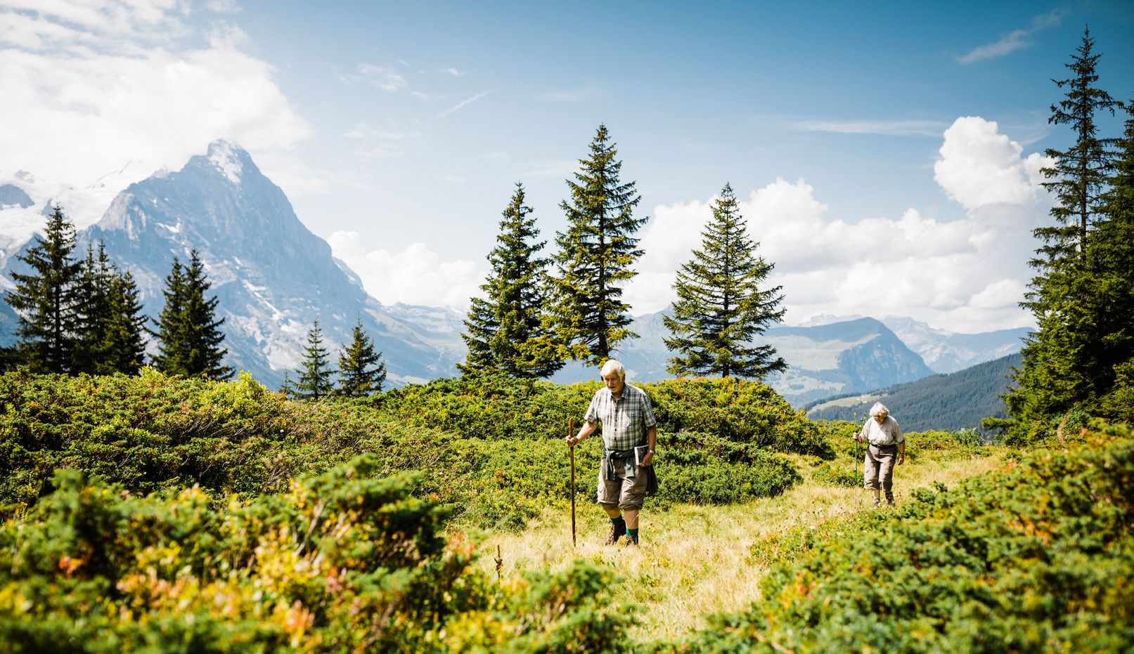
Hiking in Bernese Oberland — where Goethe left his mark
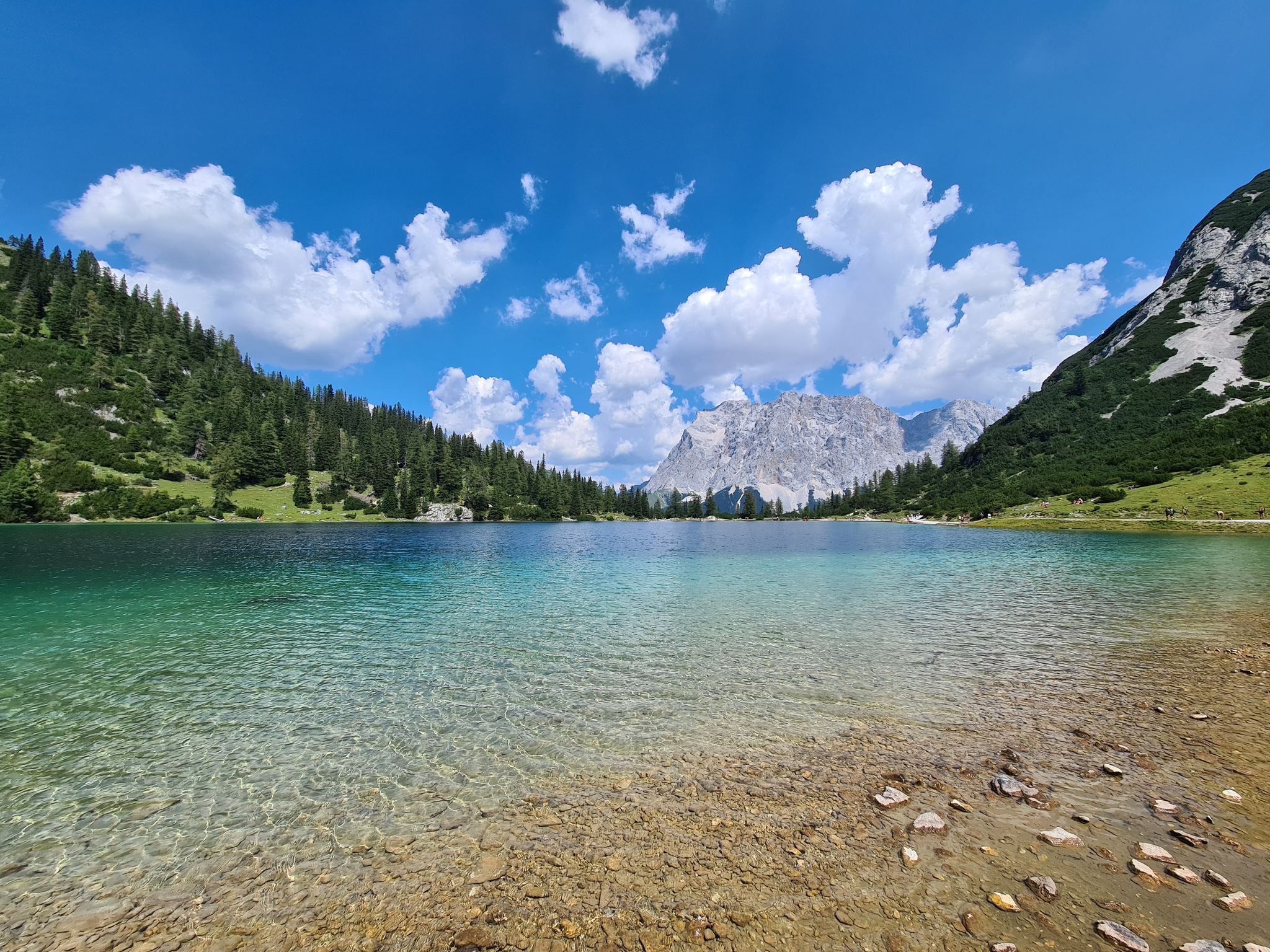
最高のアルペンの湖
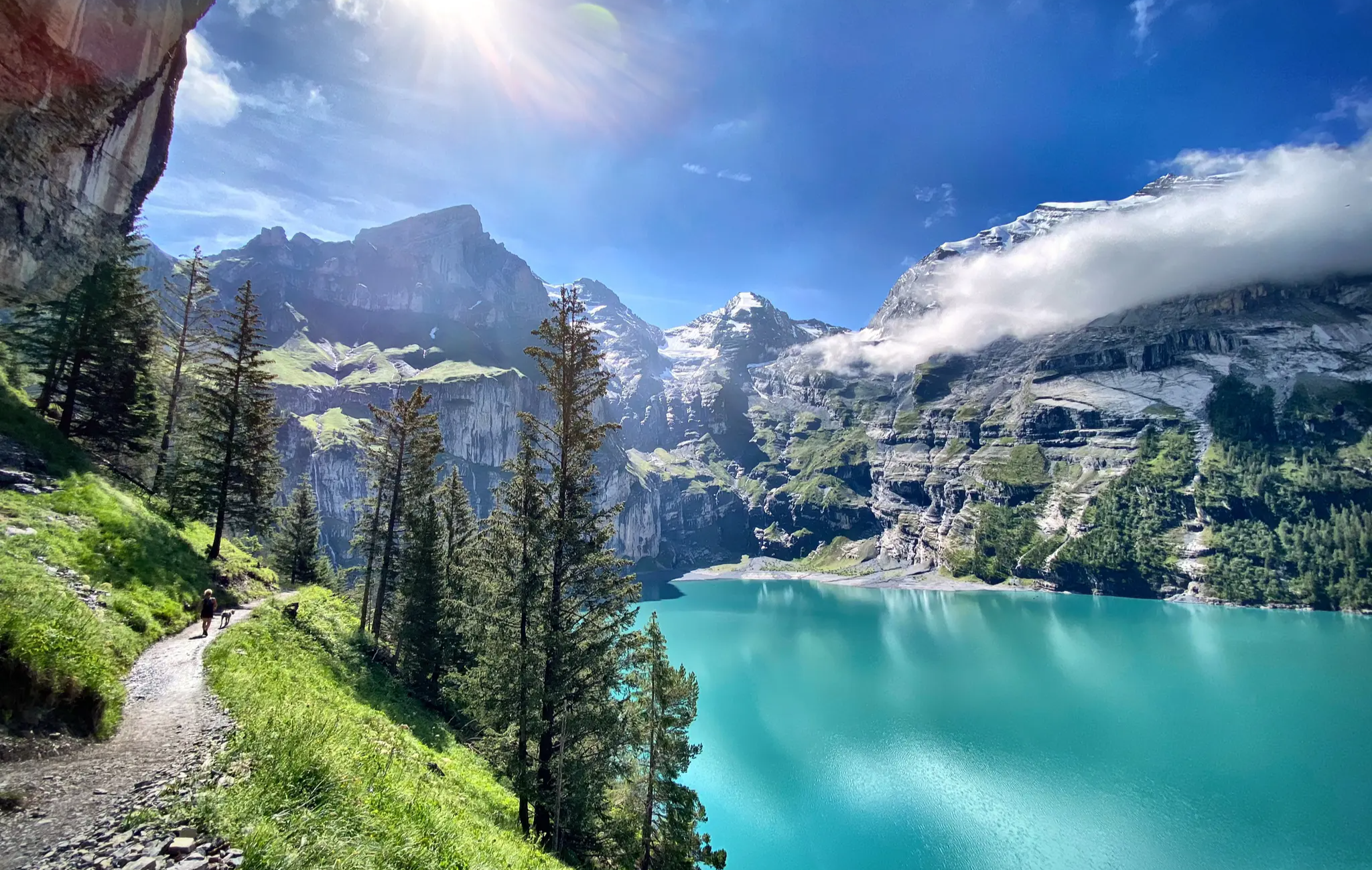
Berner Oberlandtraverse – Zwischen Fels, Firn und Fluh
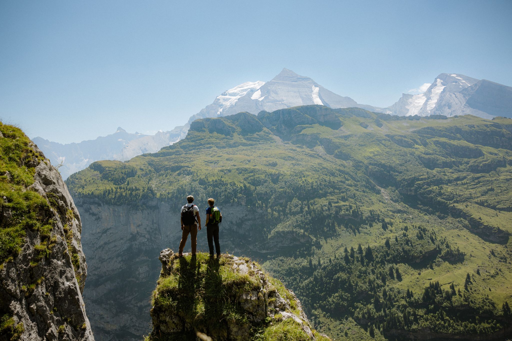
Top 5 Wanderungen in Adelboden-Lenk-Kandersteg
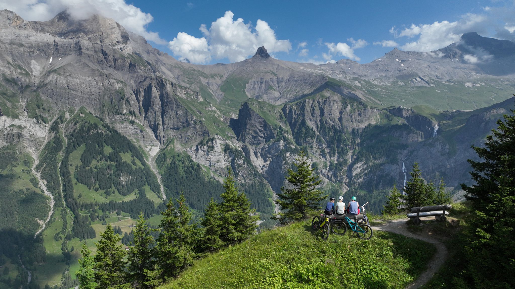
Top 5 Biketouren in Adelboden-Lenk-Kandersteg
カンダーステッグでのの他の冒険


コミュニティからのヒント

The Chindbetti Pass (2,627 m above sea level) is an alpine pass between Engstligenalp (Adelboden) and Kandersteg. Profile: ⛰ Location: Connects the Engstligental and Gasterntal valleys 🚶♂️ Difficulty level: Mountain hike T3 – good fitness and surefootedness required 🕒 Time required: From Engstligenalp, approx. 2–2.5 hours From Sunnbüel/Kandersteg via Gasterntal, approx. 3.5–4 hours 🔭 View: Views of Wildstrubel, Tschingellochtighorn, Balmhorn, and the Gasterntal valley 🌸 Best time: July–October (often snowfields in the past) 📌 Special features: Part of the Via Alpina – perfect for combining with a ridge hike or the ascent of the Tschingellochtighorn
1
0

Prepare your legs, be careful, some steps are broken
1
0

6月4日のアップデート:ルートは約2メートルの不安定な雪に覆われています。トレイルの標識は見えません、雪に覆われたステップも見えません。多くの雪の橋(特に峠のGriesalp側で危険)。良い天気でも危険な状況。登山用具(アイゼンとピッケルは必須!)を使ったエキスパートハイキング、単独では行わないでください。楽しんでください!
2
1

A totally brilliant path, beautiful, idyllic, wildly romantic
0
0

Unfortunately, the Hahnnstall had no served terrace on Monday and Tuesday (host Sunday ?¡ 🤔)
1
0

I wouldn't recommend the paved road with its concrete slabs. The restaurant on the pass is also too expensive.
2
0

Here the mountain hiking trails branch off towards Gemmibahn, Lämmerenhütte, Gemmiweg
5
0
The Gemmi Pass is a 2268 m above sea level[1][2] high mountain pass in Switzerland. It is located in the Valais municipality of Leukerbad in the Bernese Alps and forms a north-south connection between Kandersteg in the Kandertal (canton of Bern) and Leukerbad in the valley of the Dala. The pass is on the ridge between the Daubenhorn (2942 m above sea level) in the west and the Plattenhörner (up to 2855 m above sea level) in the east. The border with the canton of Bern is much further north and lower. https://de.m.wikipedia.org/wiki/Gemmipass
6
0

komootモバイルアプリでインスピレーションを得よう


さらに探索
これらのガイドでさらに壮大な山道を見てみましょうカンダーステッグでの:
