水路の峠・トップ20
風景を楽しんだり、上りや下りを満喫したり、峠には楽しみ方がたくさんあります。水路の素晴らしい峠の一覧を参照して、思い出に残るアドベンチャーに出かけましょう。コミュニティのメンバーがコミュニティのために投稿した峠のハイライトは、他のユーザーが実際におすすめする情報なので、どれも信頼できるものです。気に入った峠にさっそく向かってみましょう。
最終更新日: 9月 29, 2026
オルベルク峠
ハイライト • 山道
翻訳者 Google •
役立つ情報 は

ムルクゼー・フルッゲル峠
ハイライト • 山道
Beautiful view of the Murgsee
翻訳者 Google •
役立つ情報 は

今すぐサインアップして、こんな場所を発見しよう
最高のシングルトラック、ピーク、その他のエキサイティングなアウトドアスポットのおすすめを受け取ろう。
フーパス
ハイライト • 山道
翻訳者 Google •
役立つ情報 は

バルビエラーグラート峠
ハイライト • 山道
The Barbielergrat is a mountain pass high above the St. Gallen Rhine Valley. Its pass is at an altitude of 1971 meters above sea level between …
翻訳者 Google •
役立つ情報 は
GamserruggとChäserruggの鞍部
ハイライト • 山道
翻訳者 Google •
役立つ情報 は

無料でサインアップして、さらに多くの山道を発見しましょう 水路での。
すでにアカウントをお持ちですか?
無料アカウントで今日から始めよう
次の冒険が待っています。
水路周辺で人気
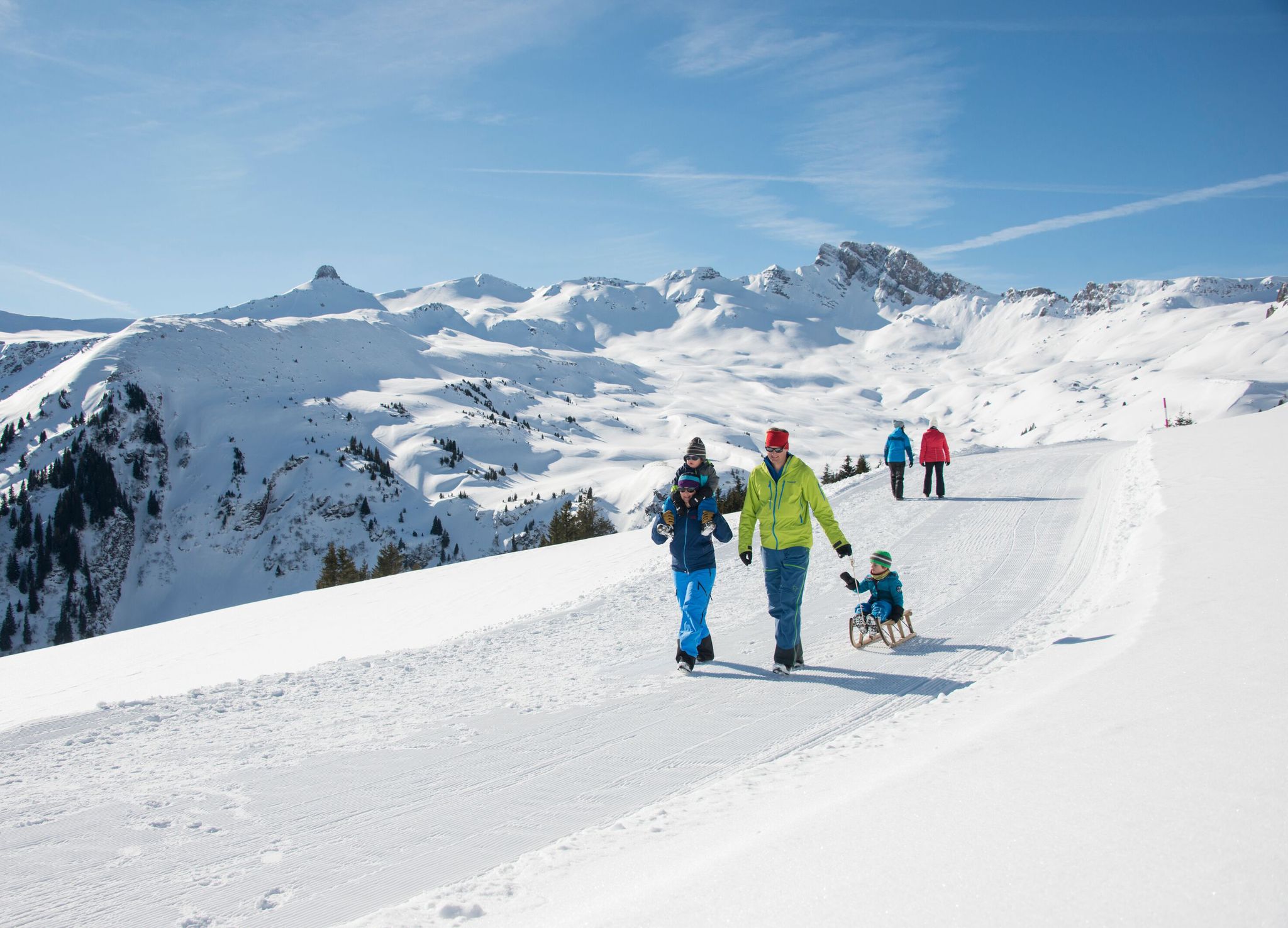
Family-friendly winter hikes in Eastern Switzerland

アルプスが創成された場所 - サルドナ・ワールドヘリテージ・トレイル
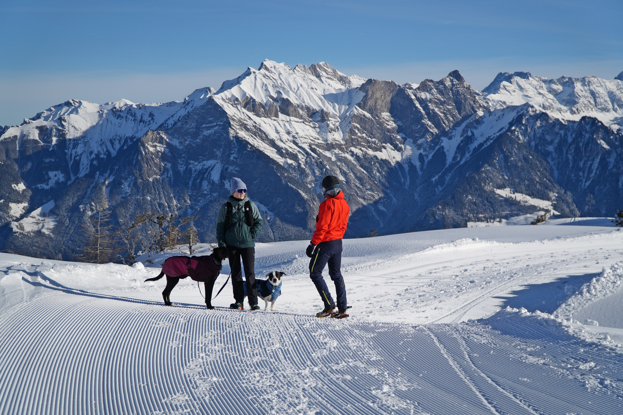
Enchanting winter hikes with dogs in Eastern Switzerland
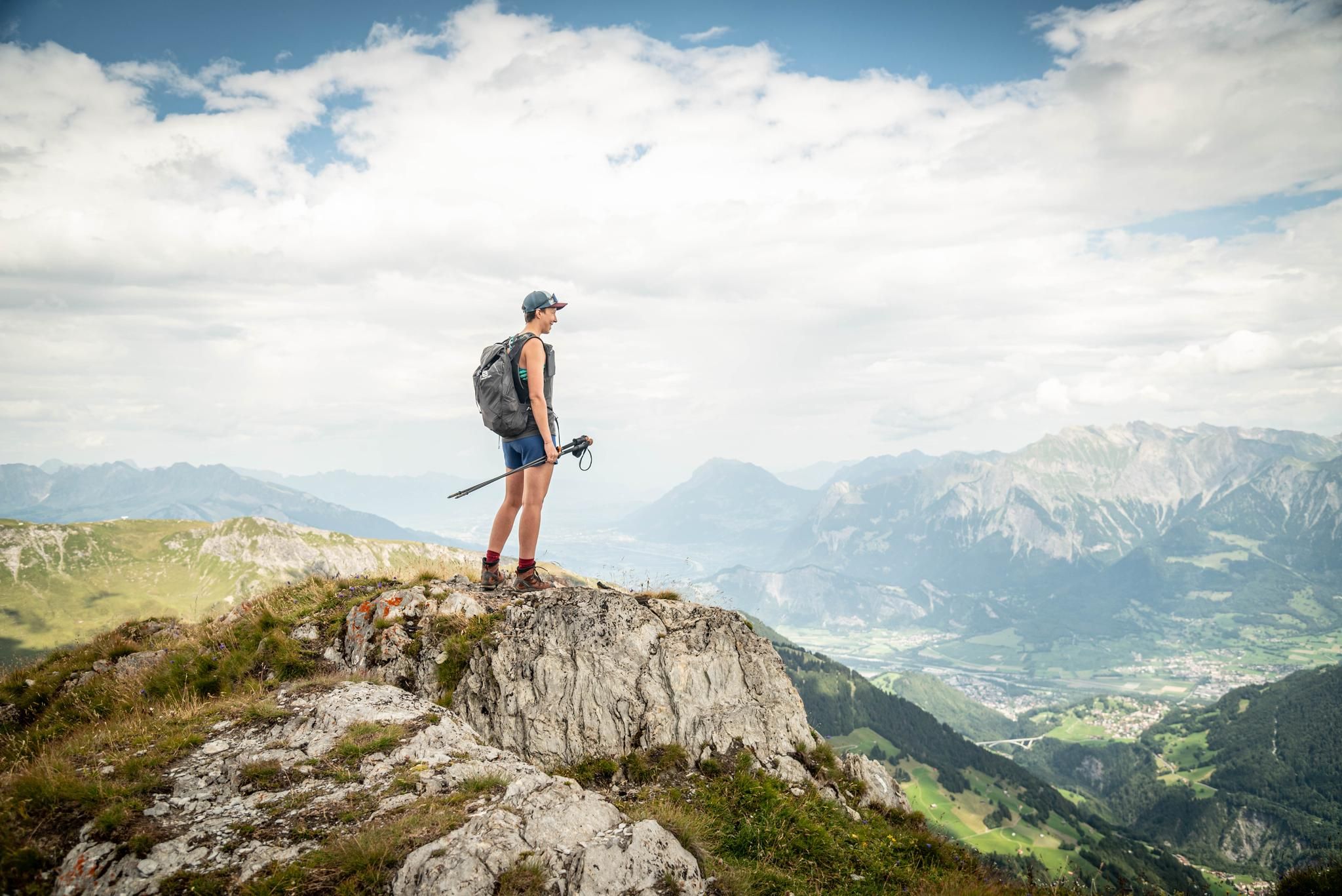
Peak bagging hikes in Heidiland

Blue lakes, wide panoramas & autumnal splendour – hiking in Heidiland
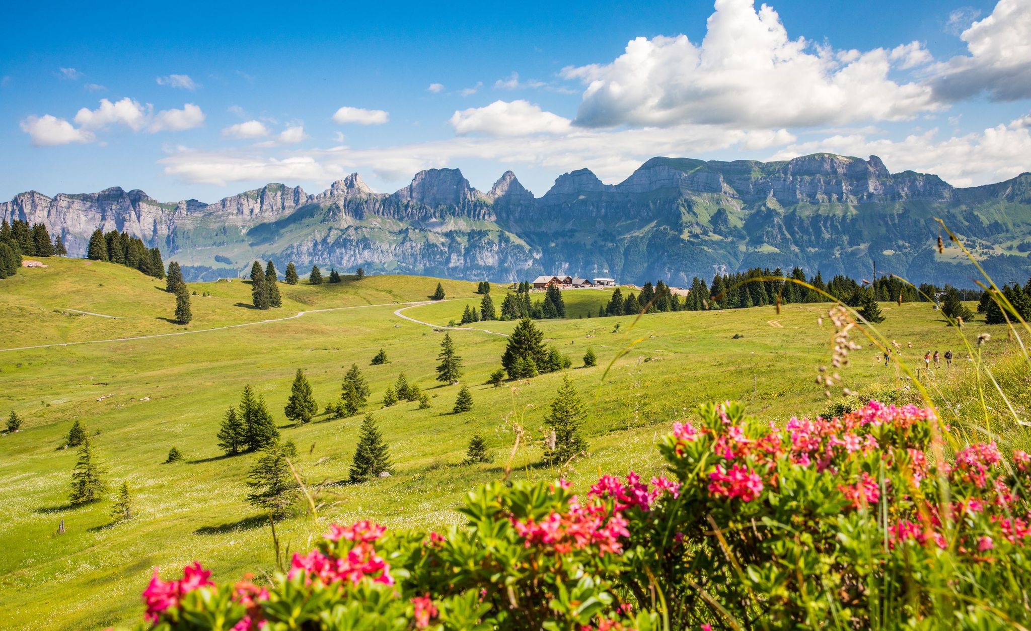
Pure Swiss mountain idyll – hikes in Heidiland
水路でのハイキング
水路のMTBトレイル
水路でのサイクリング
水路のロードバイクルート
水路でのの他の冒険


コミュニティからのヒント


Alp Foo is an alpine settlement in the municipality of Mels in the canton of St. Gallen, located approximately 2 km east of the Foo Pass, which forms the border between the cantons of Glarus and St. Gallen. It is a well-known landmark in the Glarus Alps region and is mentioned in connection with the Via Alpina hiking trail network, which runs over the Foo Pass. Source: Foo Pass - Wikipedia https://share.google/azdTqQUdEkStTrtoe
5
0

Do this tour during the week and often you will be alone
0
0

Landscape like in Jurassic World. Spotted chamois and marmots. Of course, only if you're quiet.
0
0
In my opinion, you can't go wrong at this crossroads! The paths are worthwhile in every direction.
10
0

The Gamperfin Inn invites you to stop by. It offers a beautiful, natural setting.
1
0

Pass crossing Murgseefurgglen / Mürtschenfurgglen 1985 m above sea level SG / GL (saddle) Beautiful view of the Murgsee
10
0

The landscape is very beautiful, with a view of the Alpstein, the Kreuzberge, and also towards Fulfirst and Alvier. Technically easy to drive, a wide gravel road.
1
0

komootモバイルアプリでインスピレーションを得よう


さらに探索
これらのガイドでさらに壮大な山道を見てみましょう水路での:
