Exportのおすすめツーリングルート
5.0
(5)
107
ライダー
9
ライド
Exportでおすすめのサイクリングルートをお探しですか?行きたいルートを簡単に決められるように、このページではExport周辺の人気バイクライドをご紹介します。 ぜひ、お気に入りのルートを見つけてください。
最終更新日: 10月 15, 2026
5.0
(1)
23
ライダー
11.3km
00:41
50m
50m
初級者向けバイクライド. あらゆるフィットネスレベルに適しています。 全般的に舗装された状態です。あらゆるスキルレベルに適しています。
5.0
(2)
18
ライダー
中程度の自転車ライド. ある程度のフィットネスレベルが必要です。 全般的に舗装された状態です。あらゆるスキルレベルに適しています。

5.0
(1)
21
ライダー
16.4km
01:01
80m
80m
初級者向けバイクライド. あらゆるフィットネスレベルに適しています。 全般的に舗装された状態です。あらゆるスキルレベルに適しています。
13
ライダー
中程度の自転車ライド. ある程度のフィットネスレベルが必要です。 全般的に舗装された状態です。あらゆるスキルレベルに適しています。
10
ライダー
7.57km
00:29
40m
40m
初級者向けバイクライド. あらゆるフィットネスレベルに適しています。 全般的に舗装された状態です。あらゆるスキルレベルに適しています。
さらに多くのルートや他のユーザーのおすすめ情報を確認できます。
すでにアカウントをお持ちですか?
おすすめのツアーは他のkomootユーザーが実際に経験した何千ものアクティビティに基づいています。
無料アカウントで今日から始めよう
次の冒険が待っています。
Export周辺で人気


コミュニティからのヒント

Entrance to the Funk Bikeway on Heritage trail
0
0

Here at the edge of B&Y Park you can pick up the Westmoreland Heritage Trail. This wide, flat trail is open to pedestrians and cyclists and due to its surface most of it is also accessible to those with disabilities or mobility issues.
0
0
Duff Park may seem like any other woodland park, but it holds a secret, because here you'll find one of the last remaining old growth forests in Pennsylvania. In addition, it's a recognized Wild Plant Sanctuary by the Pennsylvania Department of Conservation and Natural Resources.
0
0

Duff Park is a great green park near Murrysville. The park has a flat bike trail, the Funk Bikeway, that runs along Turtle Creek. There are also some more challenging trails in the park. In addition to the bike trails, the park has picnic tables, a pavilion, and restrooms.
1
0
Nice view of Turtle Creek. The Westmoreland Heritage Trail follows the creek, so there are several good spots to see the creek. The trail crosses the creek via a bridge at this point, so it is an especially good viewing spot.
0
0

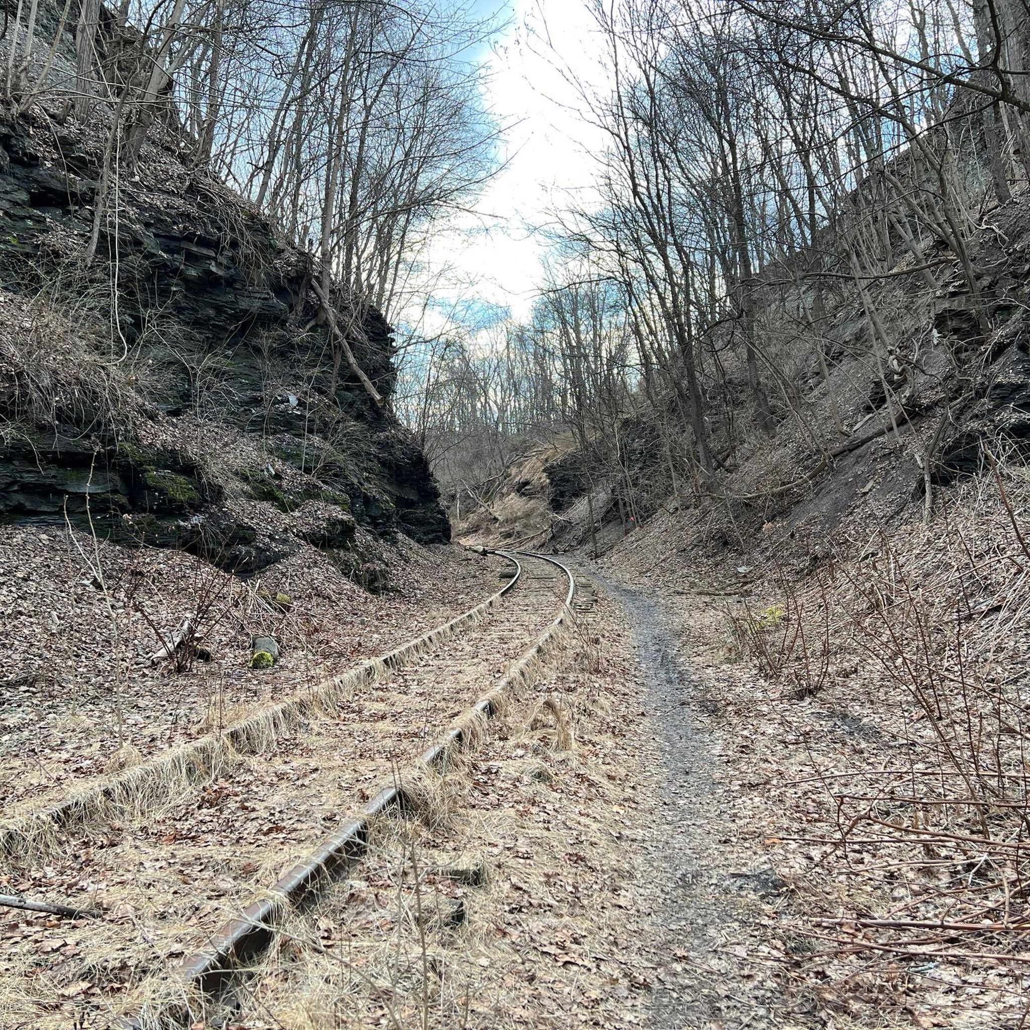
The Westmoreland Heritage Trail is a scenic rail-trail that follows the path of the former Turtle Creek Branch of the Pennsylvania Railroad. The trail passes through diverse landscapes, including woodlands and farmlands. It features historical markers and interpretive signs, offering insights into the region's industrial and cultural heritage.
0
0
Boyce Park'´is a popular recreational area in Allegheny County. During the winter, the park features ski slopes and the only downhill skiing hill in the whole county. In the warmer months, it offers picnic areas, playgrounds and hiking trails leading through wildflowers and along open meadows.
0
0
The Westmoreland Heritage Trail is a scenic rail-trail that follows the path of the former Turtle Creek Branch of the Pennsylvania Railroad. The trail passes through diverse landscapes, including woodlands and farmlands. It features historical markers and interpretive signs, offering insights into the region's industrial and cultural heritage.
0
0
around Exportの人気ルート
around Exportの人気観光スポット

komootモバイルアプリでインスピレーションを得よう


さらに探索
他の地域の最高のサイクリングルートを見てみましょう。
