アムデンの峠・トップ20
風景を楽しんだり、上りや下りを満喫したり、峠には楽しみ方がたくさんあります。アムデンの素晴らしい峠の一覧を参照して、思い出に残るアドベンチャーに出かけましょう。コミュニティのメンバーがコミュニティのために投稿した峠のハイライトは、他のユーザーが実際におすすめする情報なので、どれも信頼できるものです。気に入った峠にさっそく向かってみましょう。
最終更新日: 8月 19, 2026
フォルダー・ヘーイ峠
ハイライト • 山道
翻訳者 Google •
役立つ情報 は

リジパス
ハイライト • 山道
翻訳を表示中
役立つ情報 は

今すぐサインアップして、こんな場所を発見しよう
最高のシングルトラック、ピーク、その他のエキサイティングなアウトドアスポットのおすすめを受け取ろう。
無料新規登録
リジパス・トレイル
ハイライト (セグメント) • トレイル
翻訳を表示中
役立つ情報 は

フォルダー・ホーイ峠への登り
ハイライト (セグメント) • 山道
翻訳者 Google •
役立つ情報 は


無料アカウントで今日から始めよう
次の冒険が待っています。
ログインまたは登録


アムデンでのの他の冒険


コミュニティからのヒント

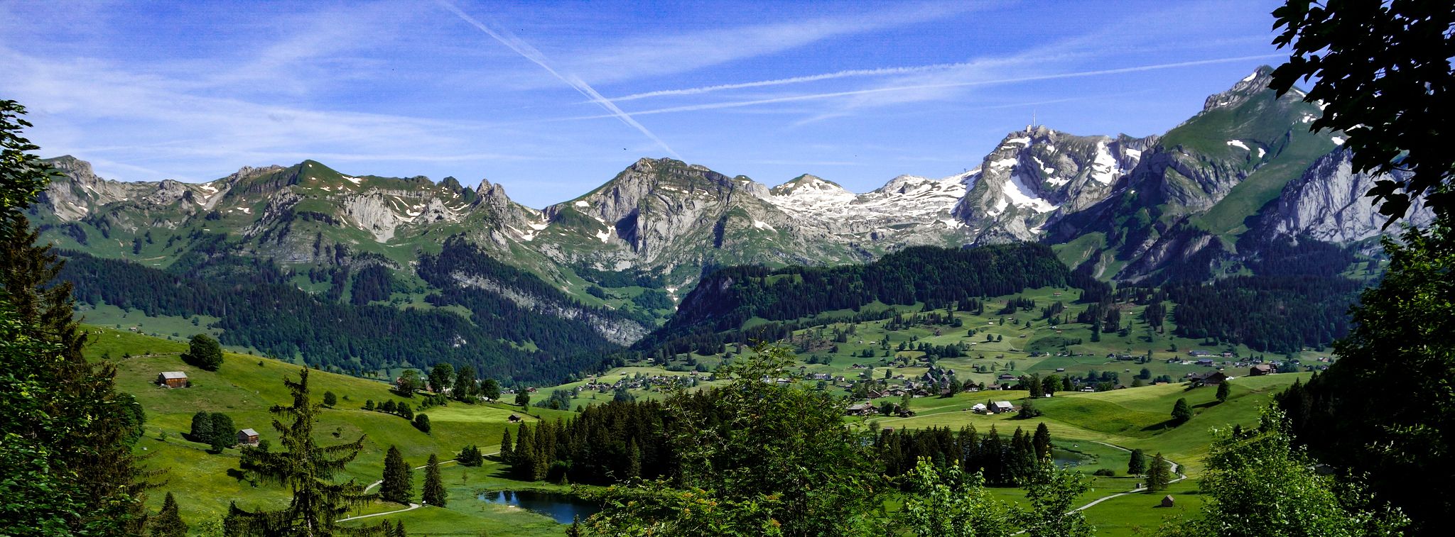
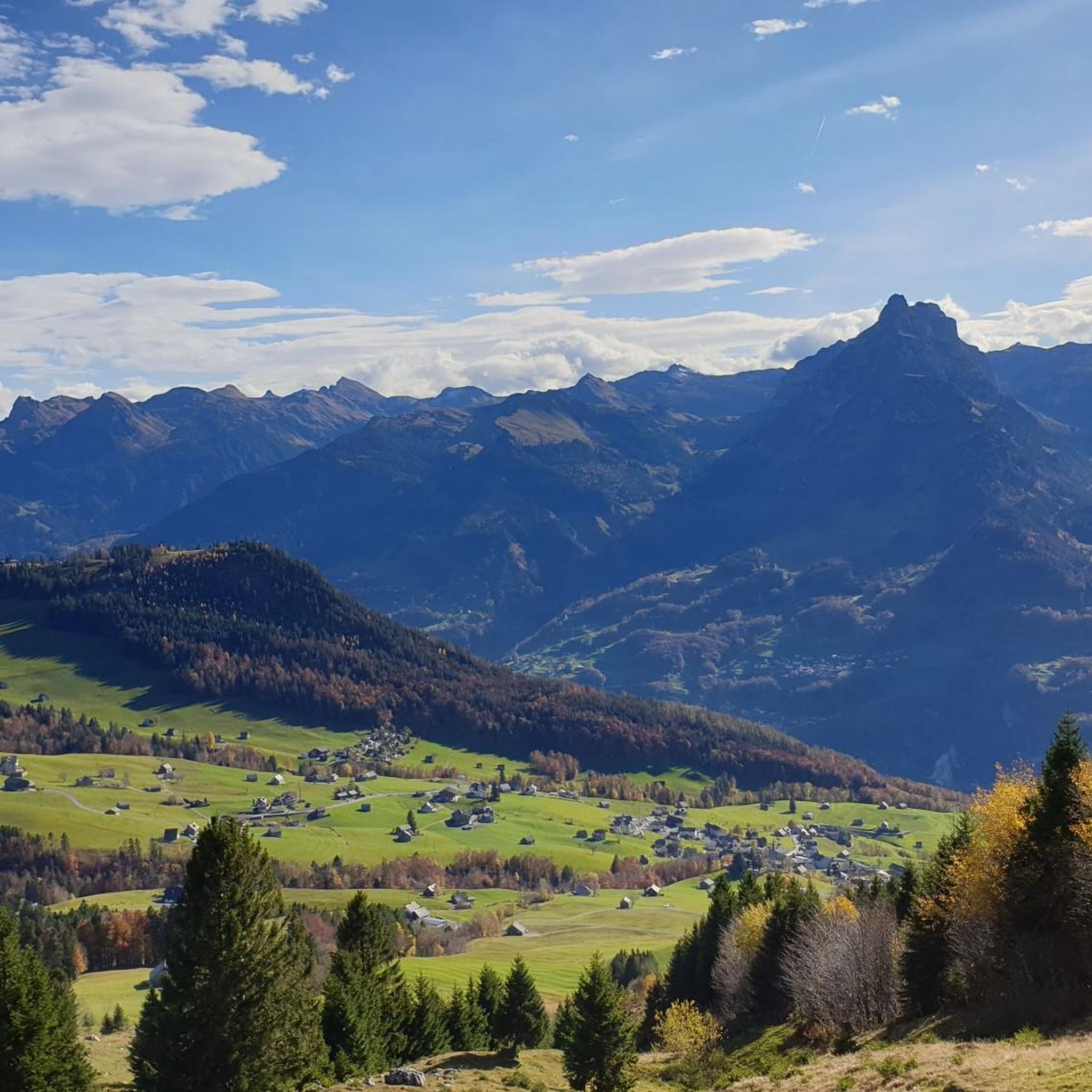
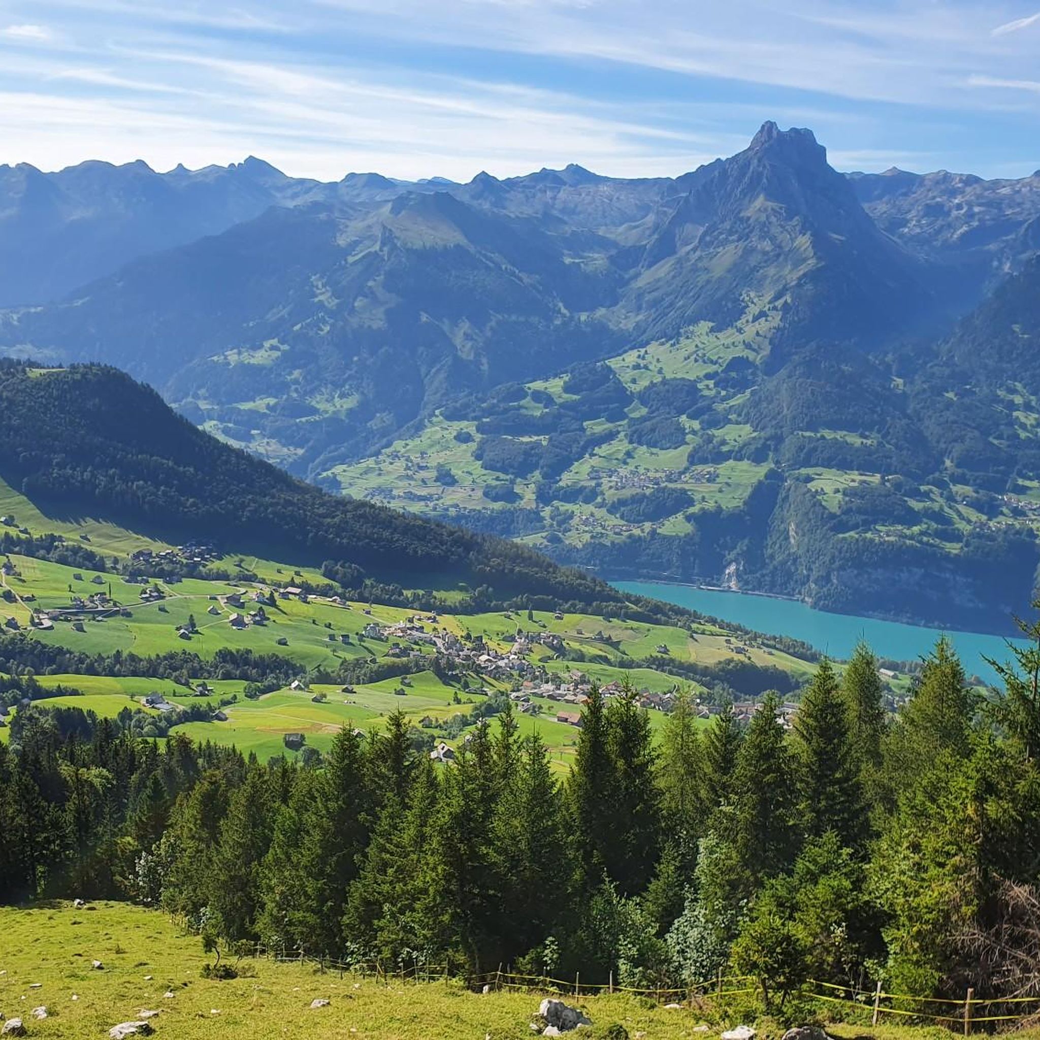
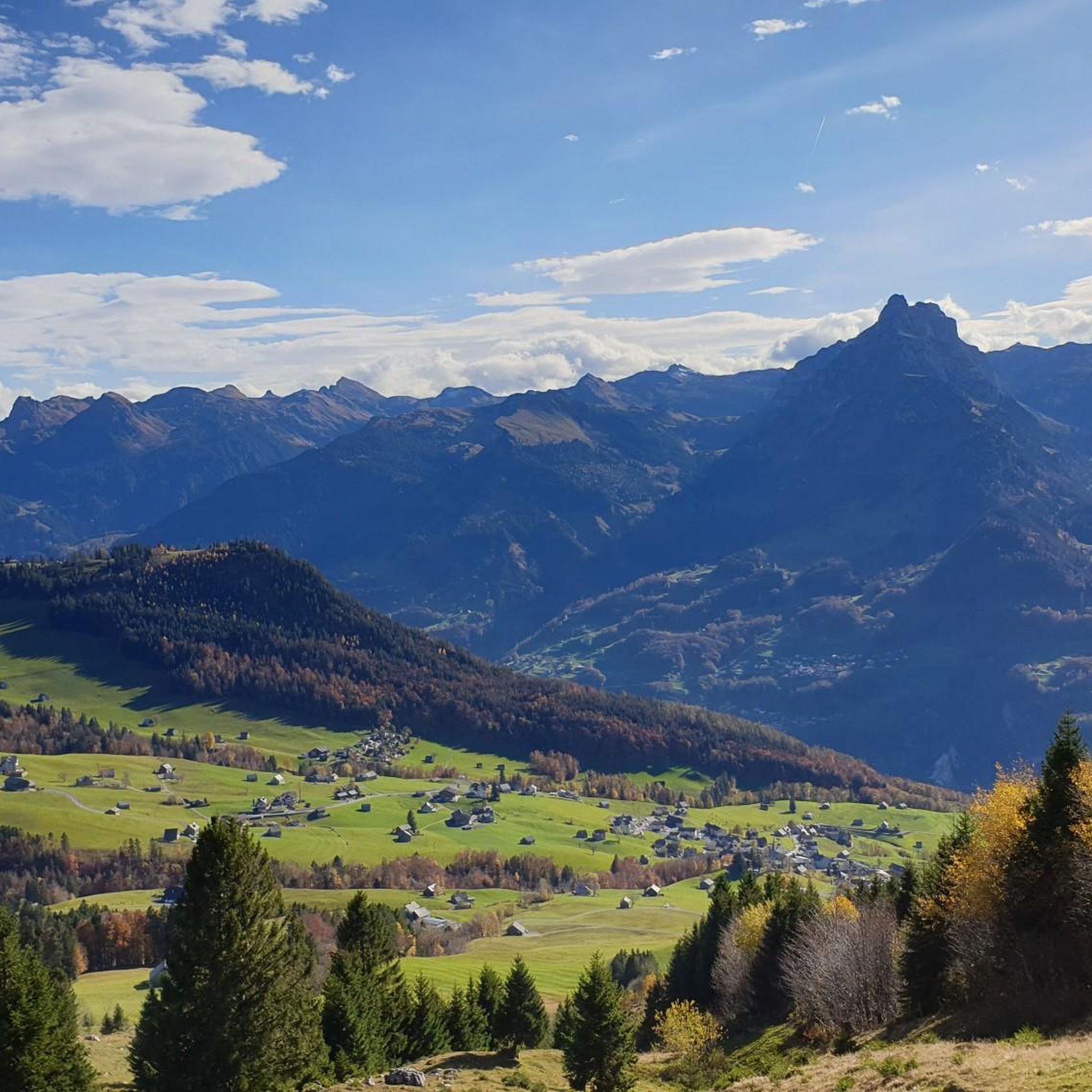
峠は、国の重要性を持つ高層湿原の景観の中にあり、北はザンティスから南はトーディまでのパノラマビューを提供しており、ミュルツェンシュトックが特に際立っています。 フォルダー・ヘーエからは、クールフュルステンをよく見渡すことができ、周辺地域は自然や写真愛好家にとって特に魅力的な景観です。
1
0


Away from the hustle and bustle. Relatively challenging and beautiful.
0
0

Absolutely beautiful views, all on hard surface and can be driven on with any bike.
1
0

Vorder Höhi Alp "pass height 1537 m" The Vorder Höhi is the pass that connects Amden with Starkenbach A 3rd class road begins in the Vorderberg district of the municipality of Amden at 1151 m above sea level. M.; it may only be driven on with a motorized vehicle with a special permit. This transition from the Walensee region to Toggenburg gained in importance for a short time in 1973/74 when the access road from Weesen to Amden was endangered by an imminent rockfall. (see landslide of Amden) The pass at 1537 m above sea level. M. is located east of the Gulmen. Text/Source: Wikipedia https://de.wikipedia.org/wiki/Vorder_H%C3%B6hi
8
0

There is a fountain with fresh drinkable water here...
2
0
Perfect for a break to recharge your batteries for the rest of the ascent to the Lütispitz or Alpspitz
4
0

komootモバイルアプリでインスピレーションを得よう


