クヒル周辺のアトラクション&必見スポット - トップ20
クヒルには必見のスポットがたくさんあります。ハイキング愛好家やサイクリング愛好家の方は、ぜひクヒルを探索してこのエリアにある20
の隠れたスポットを訪れてみてください。このエリアの必見スポットを確認し、次の冒険に出かける計画を立てましょう。
最終更新日: 9月 26, 2026
ケーニヒスゼー湖
ハイライト • 湖
翻訳者 Google •
役立つ情報 は

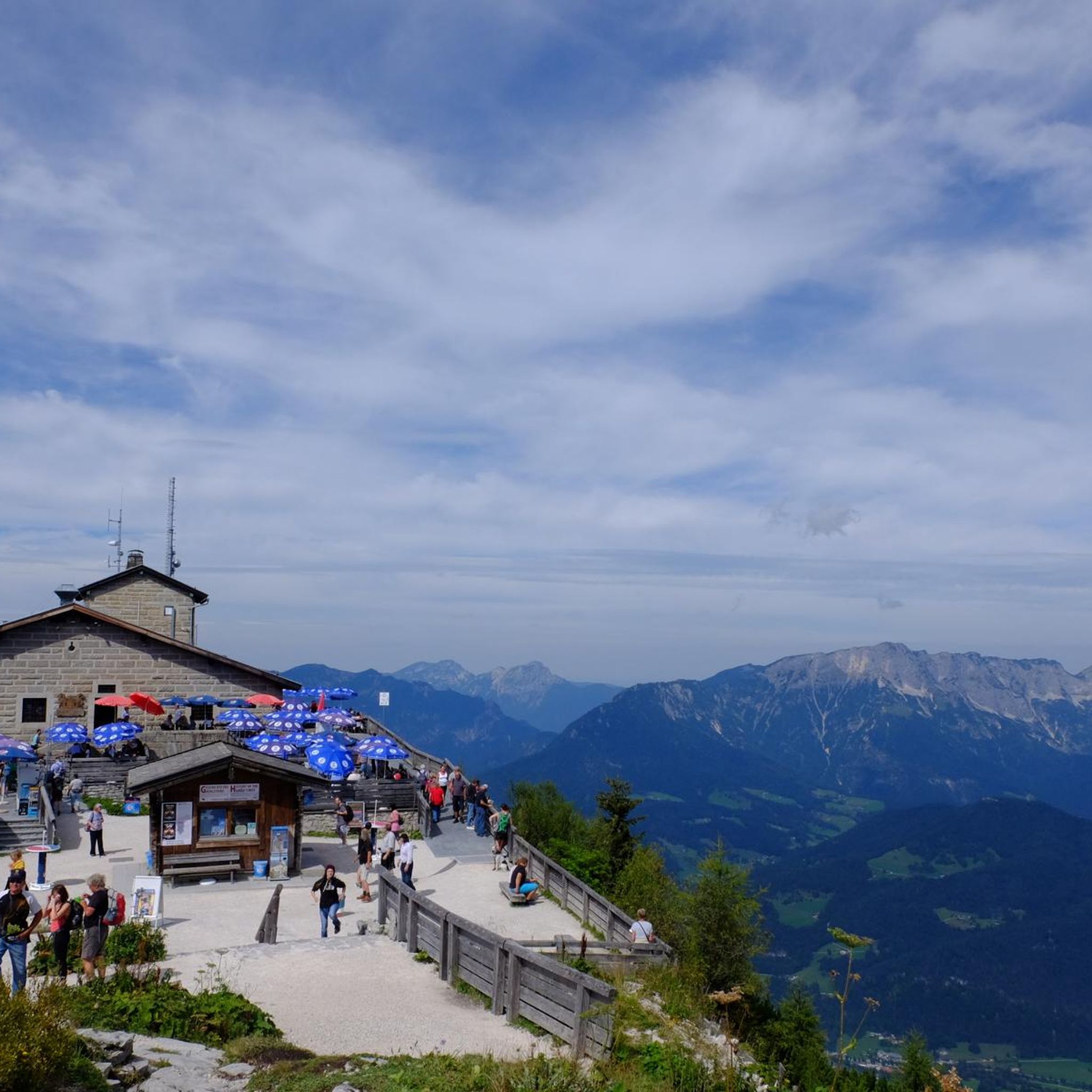
マラーヴィンケルからのケーニヒスゼーの眺め
ハイライト • 展望台
翻訳者 Google •
役立つ情報 は

今すぐサインアップして、こんな場所を発見しよう
最高のシングルトラック、ピーク、その他のエキサイティングなアウトドアスポットのおすすめを受け取ろう。
アルムバッハ渓谷(Almbachklamm)
ハイライト (セグメント) • 峡谷
翻訳者 Google •
役立つ情報 は
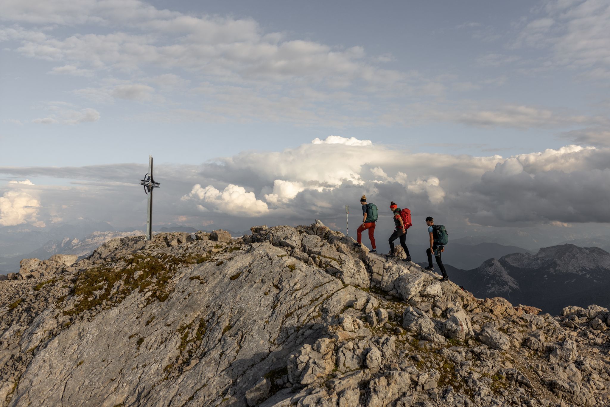
グリュンシュタイン山頂
ハイライト • 山頂
There is also the Isidor via ferrata with various routes.
翻訳者 Google •
役立つ情報 は

ケーニヒス湖の聖バルトロメー巡礼教会
ハイライト • 宗教的な場所
翻訳者 Google •
役立つ情報 は
無料でサインアップして、さらに多くの観光スポットを発見しましょう クヒルでの。
すでにアカウントをお持ちですか?

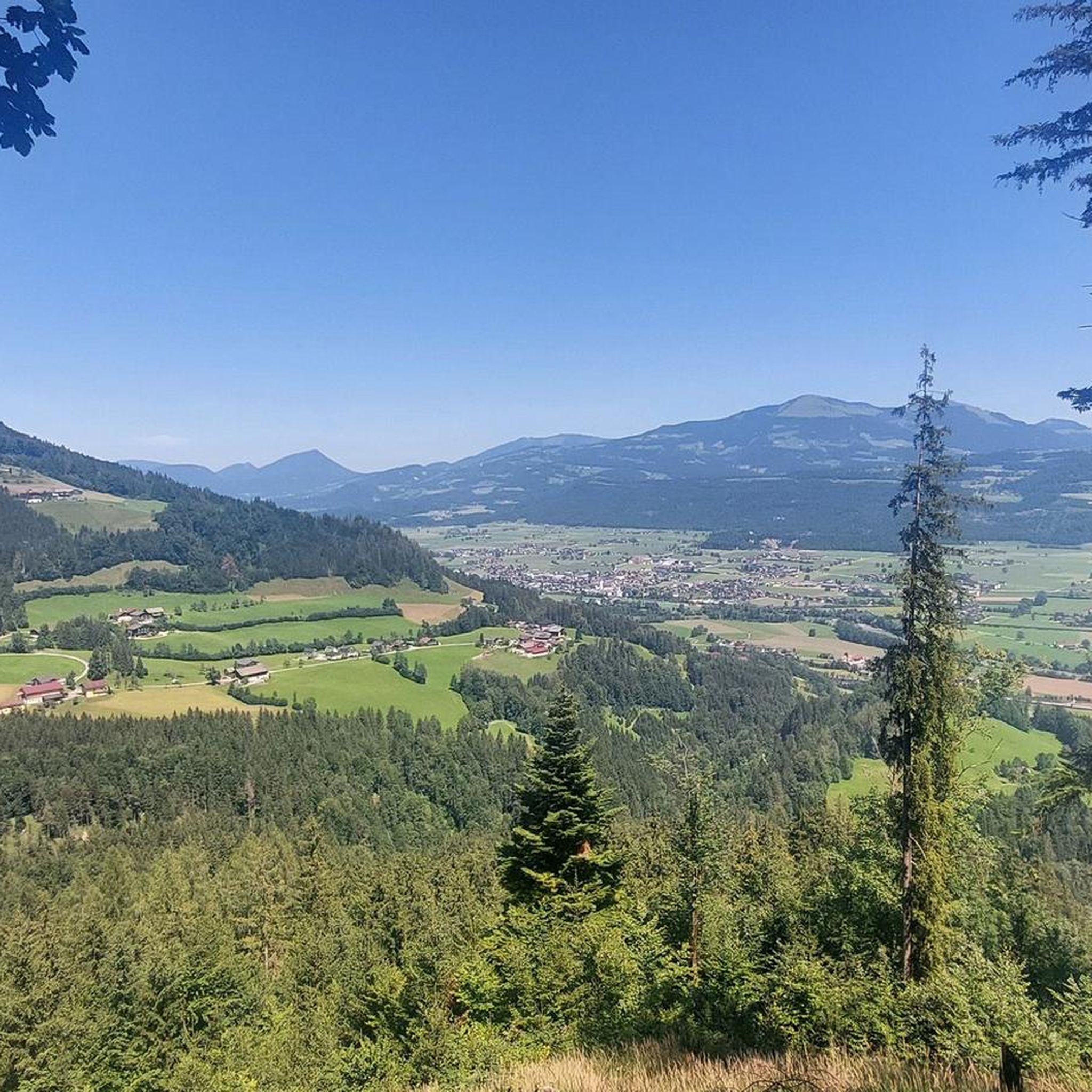
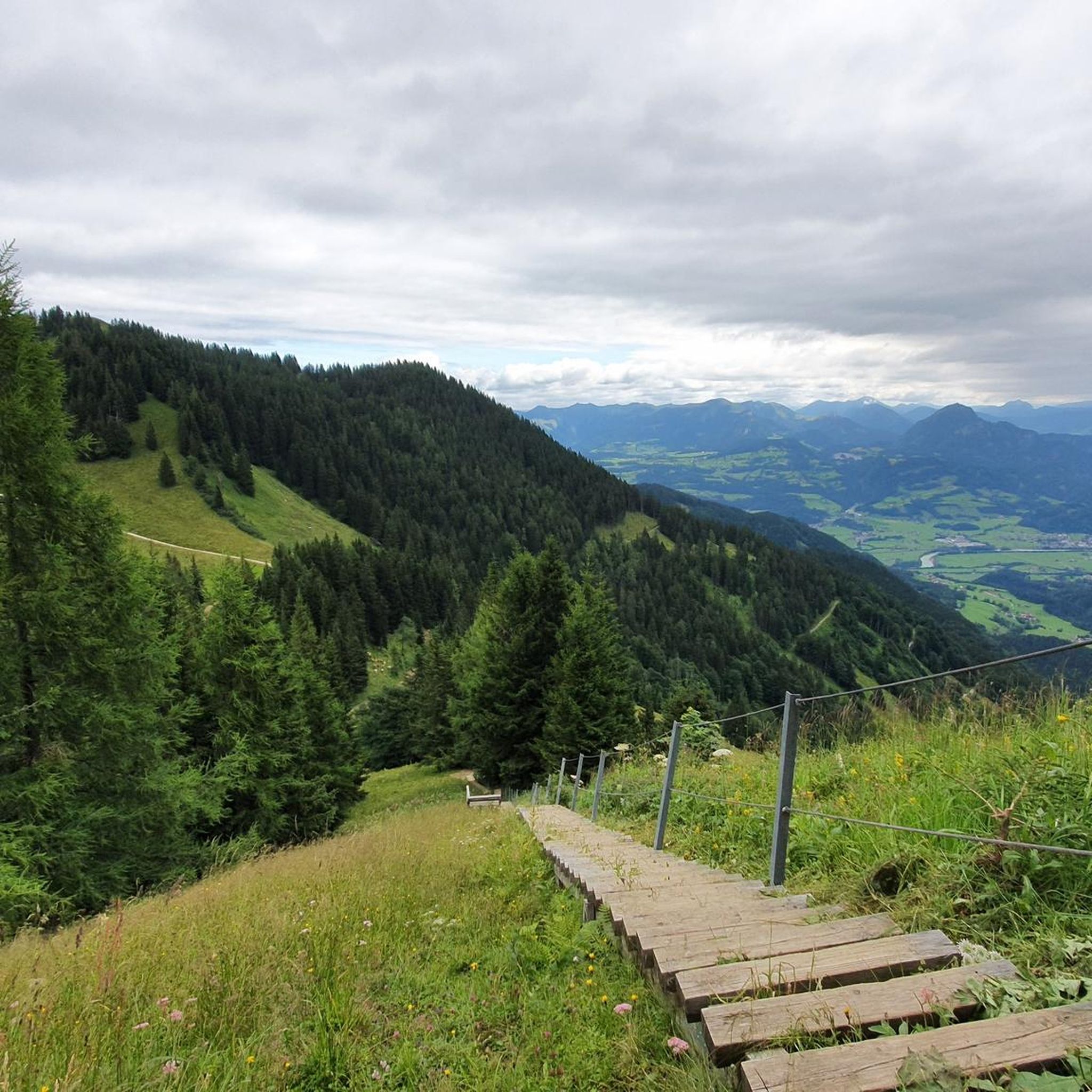
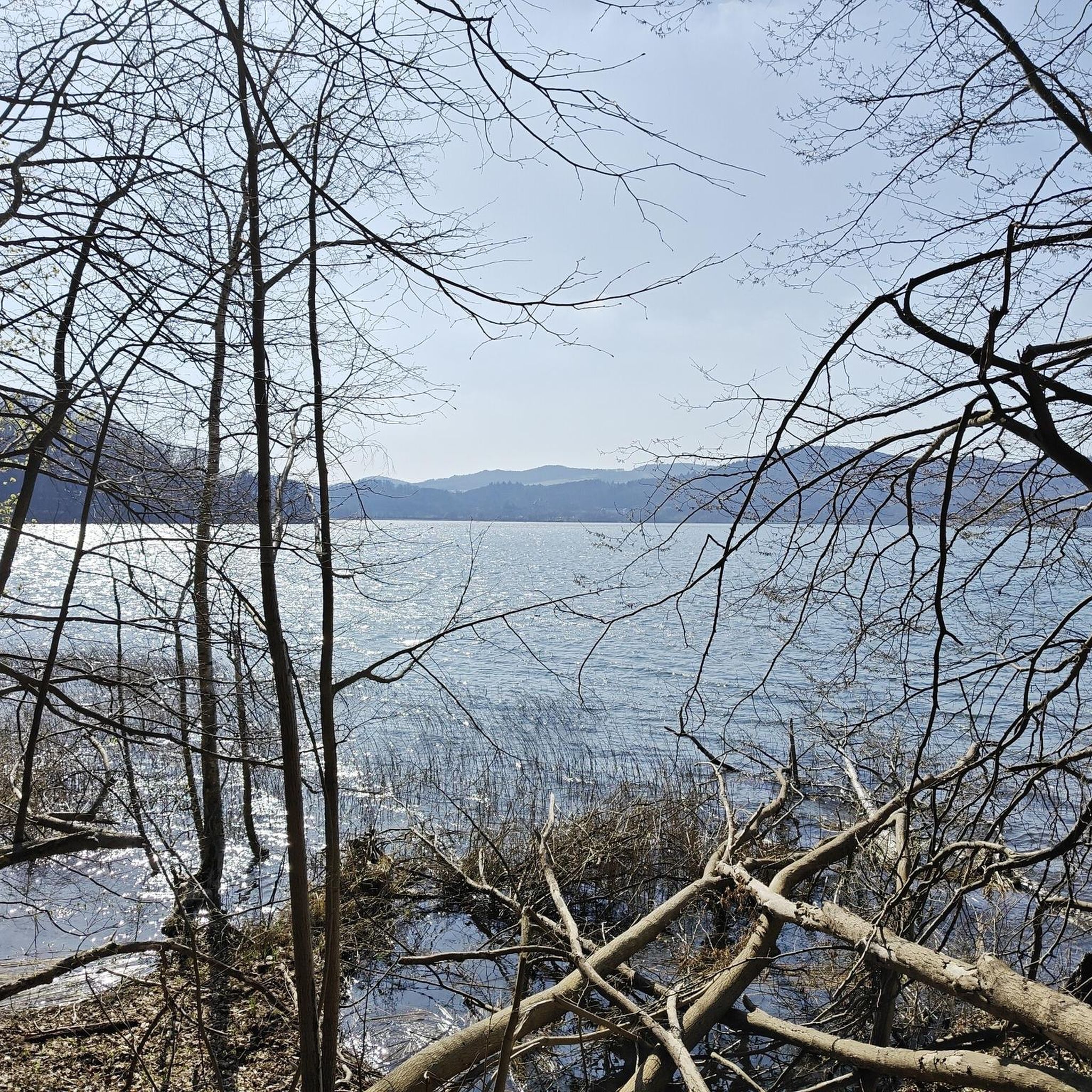
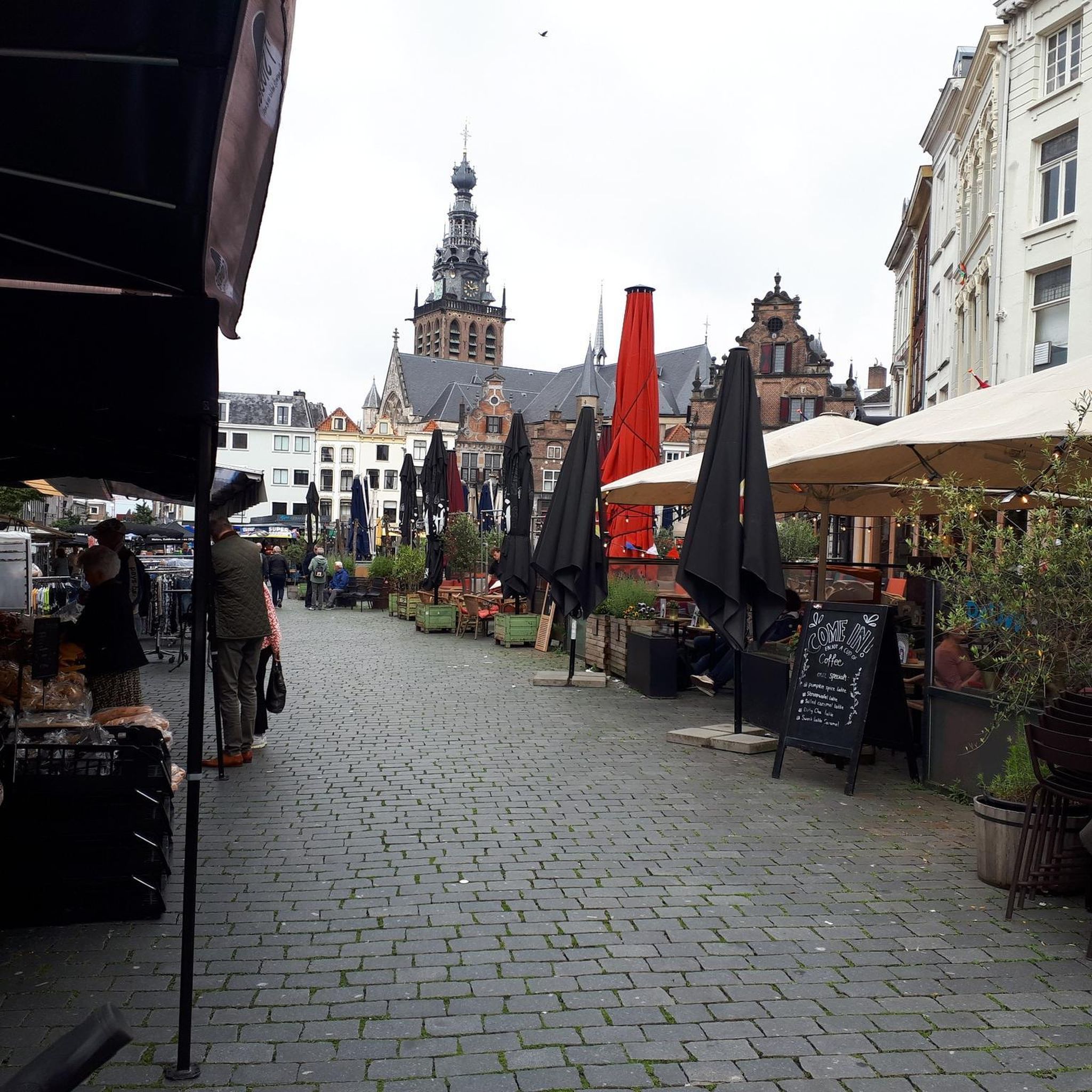


コミュニティからのヒント

A beautiful mountain with a panoramic view of the Watzmann and Berchtesgaden. There is also the Isidor via ferrata with various routes.
23
0

The path leads over 29 footbridges and bridges and several stone stairs through the wild Almbachklamm near Marktschellenberg. Even a tunnel is crossed. At the foot of the Untersberg, the Almbach has formed a deep gorge in the terrain. The path through the Almbachklamm is three kilometers long. Trees line your path, the bubbling and roaring torrent flows next to you. Right at the entrance to the gorge you can visit the oldest marble ball mill in Germany. An adventure for the whole family – even in summer. The Almbachklamm is usually open from the beginning of May to the end of October. However, there may be changes due to weather conditions (it's best to check on the website before starting your tour). The starting point is the free Almbachklamm car park on Kugelmühlweg in Marktschellenberg. If you come by public transport, you can use bus lines 836 and 840. Further information is available at https://www.berchtesgaden.de/almbachklamm.
5
5

The view of the front can be seen on every postcard. However, the view of the back of St. Bartholomä can be enjoyed on a very short walk.
14
0

Here you have a wonderful view of Schönau and Berchtesgaden. The Watzmann is enthroned on the other side.
7
0

Please note that this bike/MTB highlight is off the official cycle path network. In the national park, cycling is only permitted on the paths that have been approved for this purpose, in order to protect the sensitive habitats of animals and plants and to avoid conflicts between user groups. Therefore I ask you to explore this highlight only on foot. Currently, according to the 1992 regulation and the 2012 amendment, cycling is only allowed on the following roads: 1. Hirschbichlstraße (state road 2099) and from the Bindalm bus stop to the alpine huts on the Bindalm; 2. Eiskar forest road to the fork in the path to the Schartennalm; 3. Eckau-Forststraße to Eckau-Alm with turnoff to the Schwarzederer-Wendeplatte; 4. Schappachstraße and Hammerstielstraße to Kühroint - turning point in front of the Archenkanzel - and forest road to Herrenroint; 5. Gotzenstraße and Hochbahnweg to Gotzenalm and access to the Stahlhaus; 6. Ligeretstrasse. The supplement to approved cycle paths from 2012 is in the Official Journal for the district of Berchtesgadener Land No. 20 from 05/15/2012 on page 127ff. (https://www.lra-bgl.de/t/das-landratsamt/amtsblaetter/). The ordinance is based on Art. 31 Para. 1 and Art. 43 Para. 2 No. 3 of the Bavarian Nature Conservation Act (BayNatSchG). We would be very grateful for your help to protect nature! If you have any further questions, please do not hesitate to contact us. https://www.nationalpark-berchtesgaden.de/
0
0


komootモバイルアプリでインスピレーションを得よう


さらに探索
まだ探しているハイライトが見つかりませんか?他の地域のトップアトラクションのガイドを見てみましょう:
