ドルンビルン周辺のアトラクション&必見スポット - トップ20
ドルンビルンには必見のスポットがたくさんあります。ハイキング愛好家やサイクリング愛好家の方は、ぜひドルンビルンを探索してこのエリアにある20
の隠れたスポットを訪れてみてください。このエリアの必見スポットを確認し、次の冒険に出かける計画を立てましょう。
最終更新日: 10月 23, 2026
ラッペンロッホ渓谷
ハイライト (セグメント) • 峡谷
Rappenlochschlucht and Alploch are accessible again
Hiking enthusiasts of all ages can rejoice: The Alplochschlucht and the Rappenloch are accessible again.
As usual, the best place to start the tour is from Gütle. From the Rappenlochstadl, the route continues as usual to the "Spiegelkurve" and over the footbridge past the rockfall towards Staufensee. The hiking routes to the Alploch can then be continued as usual with the option of extending to Kirchle, Ebnit or onto the Karren.
Gastronomy
The gastronomy around the Rappenlochschlucht looks forward to your visit. You can stop off here before, during or after your round:
Gasthof Güle
Rappenlochstadel
Kiosk Ebensand
Camping Dornbirn
Rockfall
In March of this year, another rockfall with 10,000 cubic meters of rock occurred in the Rappenloch below the temporary bridge. The temporary bridge has now been dismantled for safety reasons and a new bypass road has been built. The rock clearance work has also been completed.
rappenloch.at/startseite/rappenloch-und-alplochschlucht-begehbar
翻訳者 Google •
役立つ情報 は

アルプロッホ滝
ハイライト • 滝
翻訳者 Google •
役立つ情報 は

今すぐサインアップして、こんな場所を発見しよう
最高のシングルトラック、ピーク、その他のエキサイティングなアウトドアスポットのおすすめを受け取ろう。
ラッペンロッホ渓谷のウォーターステップ
ハイライト • 構造物
翻訳者 Google •
役立つ情報 は

カレン展望台
ハイライト • 展望台
How to get to the root path: From the cart track mountain station you have to walk first direction Staufenspitze. At the second intersection, the root path is already on the trail sign turn off. After a few minutes, the turnoff comes, where the white-blue-white root path begins.
翻訳者 Google •
役立つ情報 は

渓谷入口の滝
ハイライト • 滝
展望台と上の道からは、約20メートルの落差を持つ滝を特に良く見ることができます。
翻訳を表示中
役立つ情報 は

シュタウフェン湖の滝とダム
ハイライト • 滝
翻訳者 Google •
役立つ情報 は

ホーアー・フレッシェン山頂の十字架
ハイライト • 山頂
The approach from the other side via the Binnelgrat or Valüragrat, on the other hand, is only recommended for mountaineers who are experienced in the mountains and who do not suffer from vertigo.
翻訳者 Google •
役立つ情報 は

ボックスベルク山頂(フォアアールベルク)
ハイライト • 山頂
翻訳者 Google •
役立つ情報 は
キルヒレ・ロック・カテドラル
ハイライト • 洞窟
翻訳者 Google •
役立つ情報 は

ホッホエルペレコプフ
ハイライト • 山頂
翻訳者 Google •
役立つ情報 は

無料でサインアップして、さらに多くの観光スポットを発見しましょう ドルンビルンでの。
すでにアカウントをお持ちですか?
無料アカウントで今日から始めよう
次の冒険が待っています。
ドルンビルン周辺で人気
ルラコストャンドの多間道会のマージラード - Min Weag
ライン自転車道は源流から北海まで
Between moors, meadows and glaciers – discover Vorarlberg's natural beauty
Lake and Alps Adventure – explore 100 dreamy places in our cycling region!
Discover Vorarlberg by gravel bike – twelve superb Tours
6 exciting regions in Vorarlberg – 6 fantastic bike rides
Refreshing cool downs – gorge hikes in Vorarlberg
Fun on every path – alpine hiking in Austria’s Vorarlberg
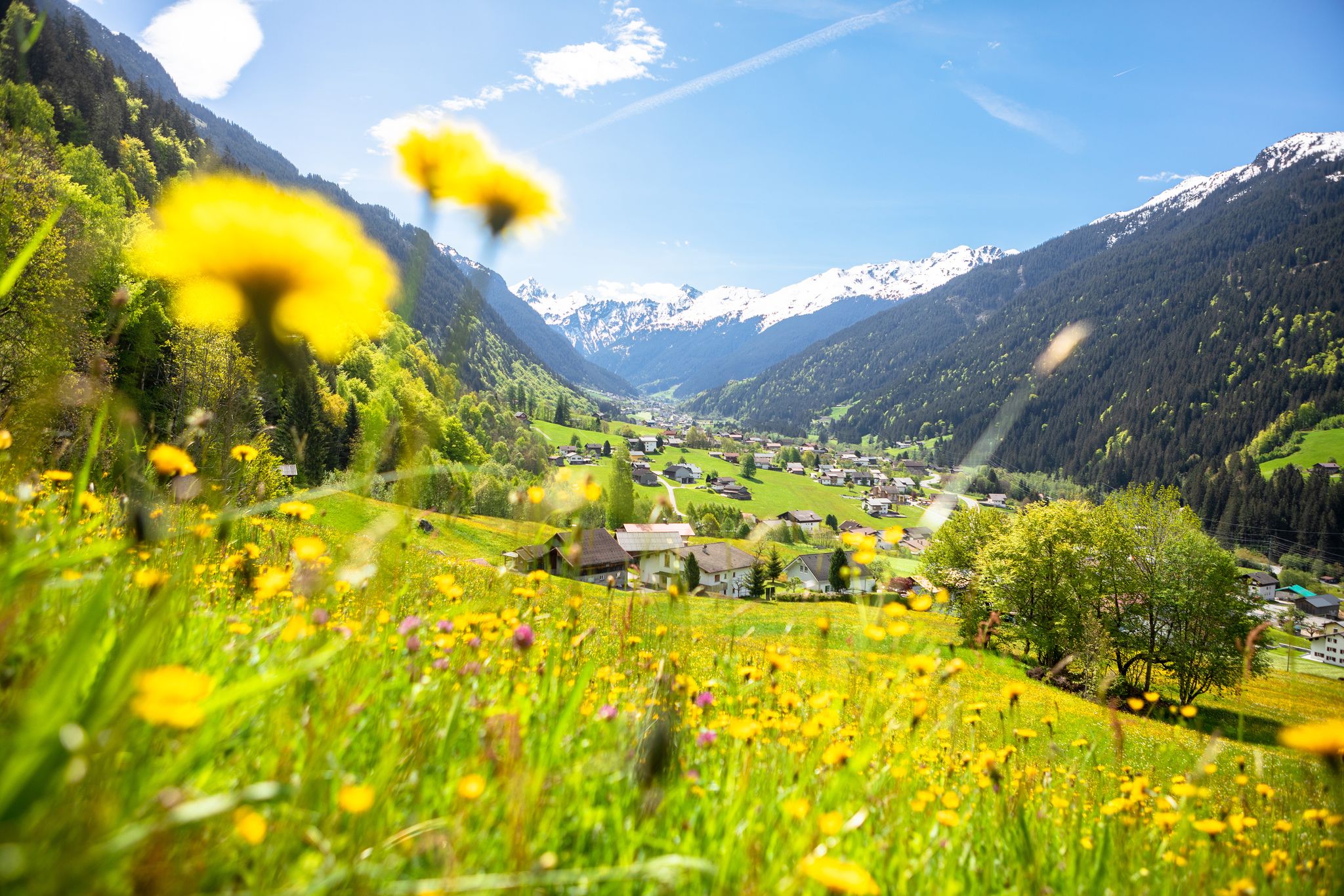
Nature awakens – spring hikes in Vorarlberg
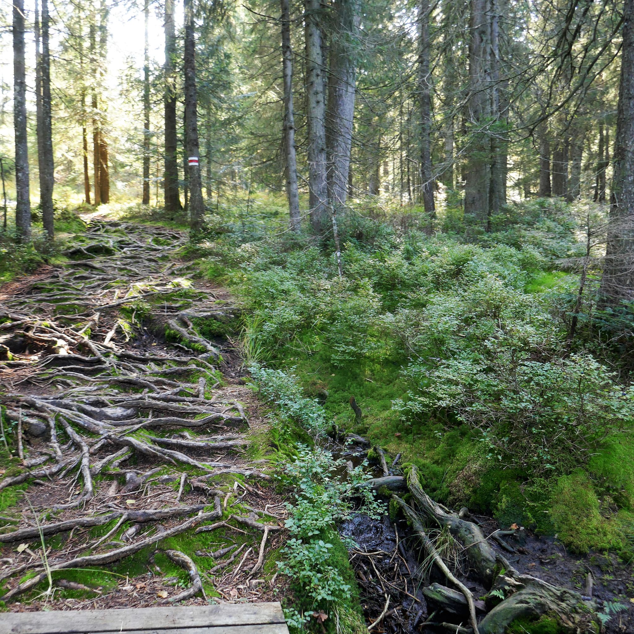
ドルンビルンでのハイキング
ドルンビルンでのの他の冒険


コミュニティからのヒント

標高600メートルを超えるStaufenseeは、Dornbirner Achの歴史的なダムです。現在、ダムは堆積物の除去作業が行われています。
4
0

シュタウゼン湖のダム壁は湖の北端を形成しており、ラッペンロッホ渓谷を抜けるハイキングコース上の際立った建造物です。壁のすぐ下では、水が人工の滝となってドゥルンビルン川に流れ落ち、印象的な自然の光景を作り出しています。 貯水池自体はほとんど空でした。これは、アッペルロッホ渓谷の入り口にある新しい水力発電所の建設作業員のせいかもしれません。
9
0
Rappenlochschluchtの入り口にある滝は、ハイキングの最初の見どころの一つです。ここはDornbirner Achが堰や堰堤を越えて狭い渓谷に流れ落ちる場所で、特に雨の後や雪解けの時期には印象的な自然の光景を見せてくれます。 展望台と上の道からは、約20メートルの落差を持つ滝を特に良く見ることができます。
10
0

Very beautiful waterfall in the gorge.
1
1

Already visible from the Rattenloch Stadl.
1
0

The waterfall is formed by the overflow of the Staufensee reservoir. The reservoir currently has very little water. The weir was recrossed. The path is accessible on the right side (coming from the Rappenloch Gorge).
4
0
Right at the beginning of the Rappenloch Gorge there are beautiful views of the Dornbirner Ache with its waterfalls.
2
0

The waterfall was created by a dam. It's still very impressive.
8
0

komootモバイルアプリでインスピレーションを得よう


探していたものは見つかりませんでしたか?
近くの素晴らしい場所をもっと探索したいですか?ガイドを見てみましょう:
