ヘルマゴルの峠・トップ20
風景を楽しんだり、上りや下りを満喫したり、峠には楽しみ方がたくさんあります。ヘルマゴルの素晴らしい峠の一覧を参照して、思い出に残るアドベンチャーに出かけましょう。コミュニティのメンバーがコミュニティのために投稿した峠のハイライトは、他のユーザーが実際におすすめする情報なので、どれも信頼できるものです。気に入った峠にさっそく向かってみましょう。
最終更新日: 10月 13, 2026
ラゴ・ディ・プラモッロ
ハイライト • 湖
翻訳者 Google •
役立つ情報 は

ガートナーコーフェルからの眺め
ハイライト • 展望台
翻訳を表示中
役立つ情報 は

今すぐサインアップして、こんな場所を発見しよう
最高のシングルトラック、ピーク、その他のエキサイティングなアウトドアスポットのおすすめを受け取ろう。
プラモッロ峠、イタリア・オーストリア国境
ハイライト (セグメント) • 山道
翻訳者 Google •
役立つ情報 は

ガイルベルクザッテル峠
ハイライト • 山道
翻訳者 Google •
役立つ情報 は

クライツベルク峠
ハイライト • 山道
翻訳者 Google •
役立つ情報 は

オーバードラウブルクからガイルベルクザッテルへの北側登り
ハイライト (セグメント) • 山道
翻訳者 Google •
役立つ情報 は

パッソ・ディ・モンテ・クローチェ・カルニコ/プレッケン峠
ハイライト • 山道
翻訳者 Google •
役立つ情報 は

トレーポラッハからナッスフェルト峠への登り
ハイライト (セグメント) • 山道
翻訳者 Google •
役立つ情報 は

ヴィンディッシェ・ヘーエ
ハイライト • 山道
翻訳者 Google •
役立つ情報 は

ヴァレンティントール
ハイライト • 山道
翻訳者 Google •
役立つ情報 は

無料でサインアップして、さらに多くの山道を発見しましょう ヘルマゴルでの。
すでにアカウントをお持ちですか?
無料アカウントで今日から始めよう
次の冒険が待っています。
ヘルマゴル周辺で人気
#Winterlove — 14 tips for your winter adventure in Austria
バイエルンからアドリア海まで - クロアチアへのバイクパッキング冒険 2023
驚きと自分自身を見つける–カーリンティアのマリア聖地巡礼の道
山と国境を渡るーオーストリアのハイ&ホーリーピルグリマジュトレイル

オーストリアのボヘミア森林からカルニックアルプスまでのハイキング - ルペルティトレイル
アースリアールドルックルーランドがないません - バートの路後
サザンアルプストレイル - オーストリアのシュタイアの葡萄園とカルニックアルプス
The Milky Way on the Carnic High Route – hiking the alpine cheese dairies
Gravel Carinthia
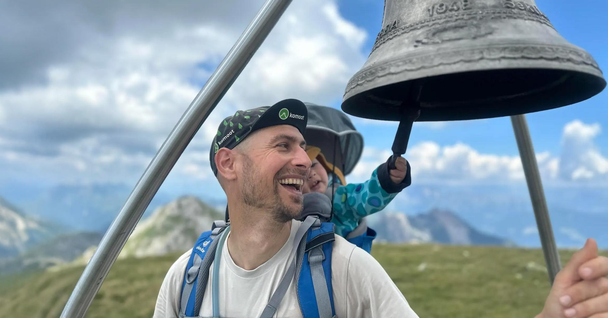
Summit hikes for families – discovery routes with a view in Carinthia
ヘルマゴルでのの他の冒険


コミュニティからのヒント

オーストリア/イタリア国境線直結の、非常に印象的で効果的な山岳湖。砂利道で周回でき、水面に多くの美しい鏡像が見られます。湖の周りには木製のベンチやデイベッドも設置されており、くつろぐのに最適です。
0
0


The small reservoir at the Nassfeld pass is beautiful, but unfortunately overrun by camper vans and motorcyclists on weekends.
0
0

...even if there is a prohibition sign here, this is the entrance! 🥾
3
0

The descent towards Tröpolach was tackled in pouring rain, which is why the impressions may be somewhat influenced. The asphalt is very nice, with a few bends in the upper section with good asphalt and a view towards the valley. However, as you speed up towards Tröpolach, you mainly ride through wooded areas, so you don't get much of a view. Instead, you whiz down long straights with easily visible waves, interrupted by a few bends in the lower section, in downhill style. The asphalt varies between good and brittle. There is also more traffic on the north side, as the upper Nassfeld seems to be a popular destination for day trippers.
0
0
As a pass, the Kreuzberg is rather unspectacular. There is no view here, and there is not much to linger on. It is more of a transit pass that connects the two valleys. Coming from Hermagor, it is a very long climb that becomes tough at the end. Coming from Greifenburg, it is very tough, especially after Pobersach/Waisach, it is just miserably steep with over 15% towards the turnoff to the very beautiful Weissensee. This means that there is a lot of traffic, especially on the northern slope - both downhill and uphill. Sports cars are also often tested here, so there can be some tricky situations here too. Better than driving early in the morning or later in the day when the excursion traffic has passed. Otherwise, it is mostly good asphalt!
1
0
Nice thing! Lots of bends and a consistent gradient mean that once you've found your rhythm, you can just wind your way up the hill and conquer the hill very quickly. In my experience, it's also good for a 20-minute test if you want to do one on the hill. The only thing that makes the situation a little less pleasant is the fact that the transit character means there's a lot of traffic - especially trucks.
1
0
Connecting saddle between Oberdrauburg and Kötschach-Mauthen. Coming from the north, a beautiful climb where you can really let off steam, with various bends and longer straight sections; coming from the south, it's rather unspectacular. The type of mountain also leads to increased traffic. So it's better not to go at rush hour or during travel times, but rather early or late.
0
0

komootモバイルアプリでインスピレーションを得よう


探していたものは見つかりませんでしたか?
地域ごとに整理されたさらに素晴らしい山道を見つけましょうヘルマゴルでの:
さらに探索
これらのガイドでさらに壮大な山道を見てみましょうヘルマゴルでの:
