カプルーンの滝・トップ20
カプルン周辺の最高の滝はオーストリアアルプスにあり、そこでは川が劇的な渓谷を削り、数多くの滝を作り出しました。この地域は、水の力によって形作られた景観が特徴で、岩肌を流れ落ち、深い裂け目を通過する小川があります。これらの自然の地形は、この地域を探索する訪問者に多様な体験を提供します。
カプルン周辺の最高の滝
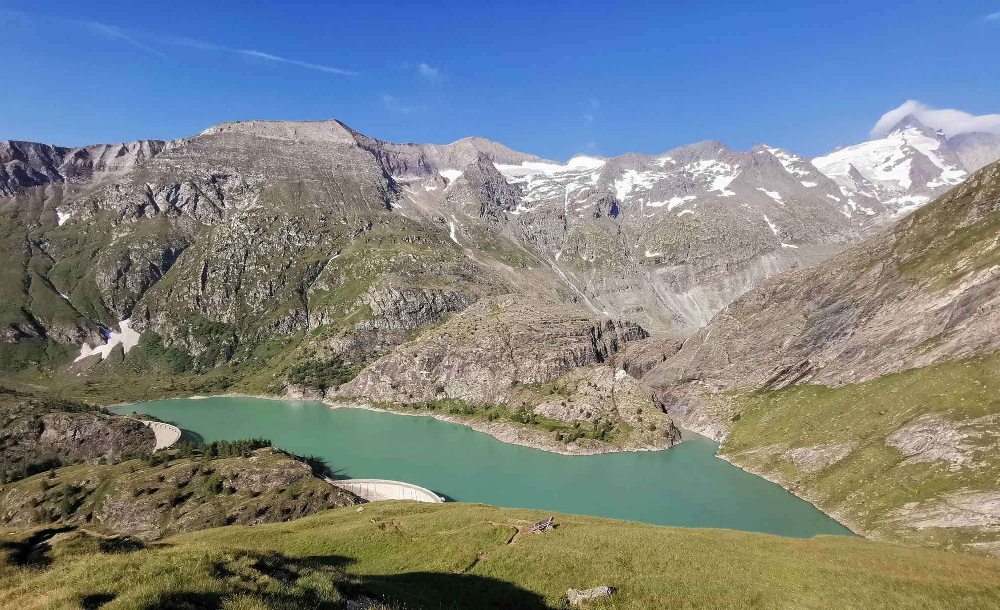
- 最も人気のある滝は、ジークムント・トゥーン渓谷の終点を示す人工建造物であるクラム湖ダムと放水路です。クラム湖の絵のように美しい景色を楽しめます。
- もう一つの必見スポットは、ライターバッハ川が岩肌を流れ落ちる滝であるライターフォール滝です。興味深い小道からは、滝を横から見ることができます。
- 訪問者は、滝体験であるヴァルヒャーアルム滝体験も気に入っています。滝アドベンチャートレイルは、いくつかの滝を通り抜け、滝を間近で観察できます。
- カプルンは、自然の滝、ダムの滝、そして渓谷内の滝で知られています。この地域には、力強い急流から穏やかな滝まで、見るべき、探索すべき様々な滝があります。
- カプルン周辺の滝は、komootコミュニティによって高く評価されており、1000件以上の「いいね!」と、訪問者によって共有された600枚以上の写真があります。
最終更新日: 9月 7, 2026
Klammseeの堰堤と越流
ハイライト • 記念碑
翻訳者 Google •
役立つ情報 は

ワイルドバッハの力 ― パノラマルート
ハイライト • トレイル
翻訳者 Google •
役立つ情報 は

今すぐサインアップして、こんな場所を発見しよう
最高のシングルトラック、ピーク、その他のエキサイティングなアウトドアスポットのおすすめを受け取ろう。
ライターファールの滝
ハイライト • 滝
翻訳者 Google •
役立つ情報 は

ライターバッハ滝トレイル
ハイライト • トレイル
翻訳者 Google •
役立つ情報 は

無料アカウントで今日から始めよう
次の冒険が待っています。
カプルーン周辺で人気
オーストリアの最高峰、グロスグロクナー山を巡る
14 stages through the national park valleys – Hohe Tauern Bike Trail
Aiming high – alpine summit hikes around Zell am See-Kaprun

Joyful mountain biking – Tours with a view of Lake Zell
Hiking adventures for the whole family in Zell am See-Kaprun
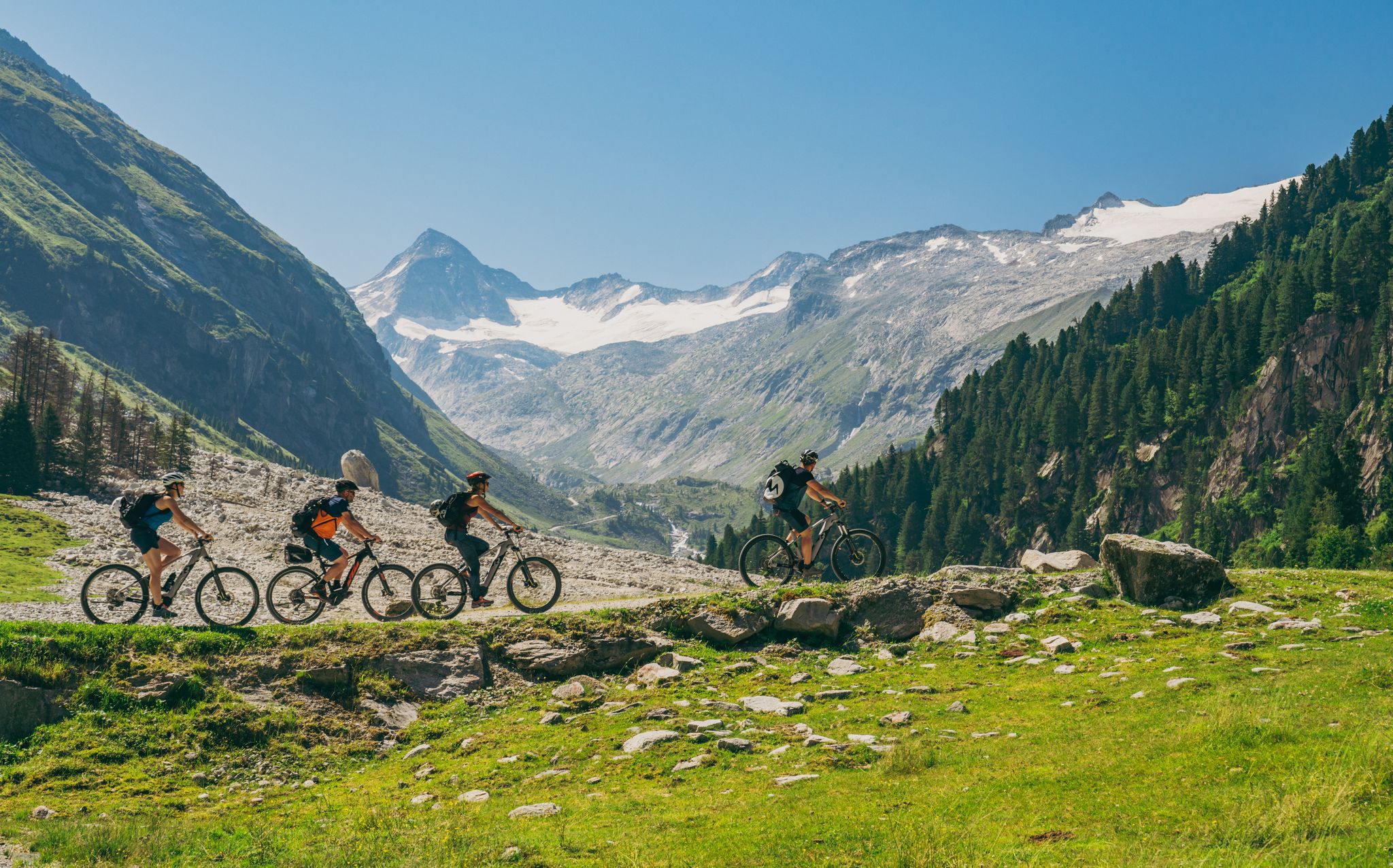
Ride to the alpine pastures in Austria's Hohe Tauern National Park Region
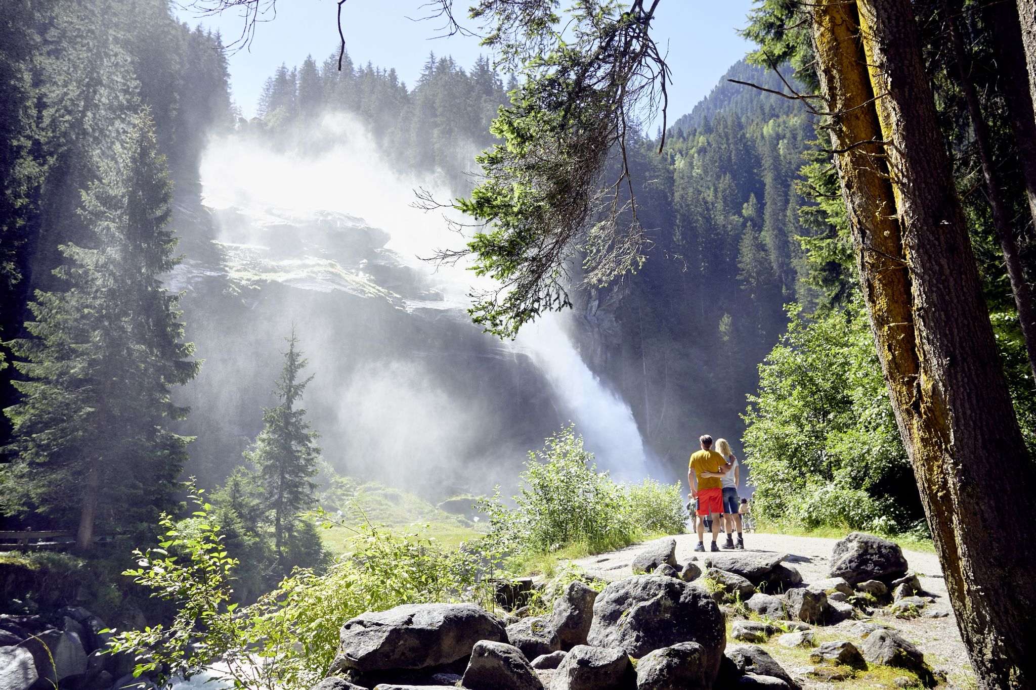
オーストリアースダ地の何民にちは人気がないます。
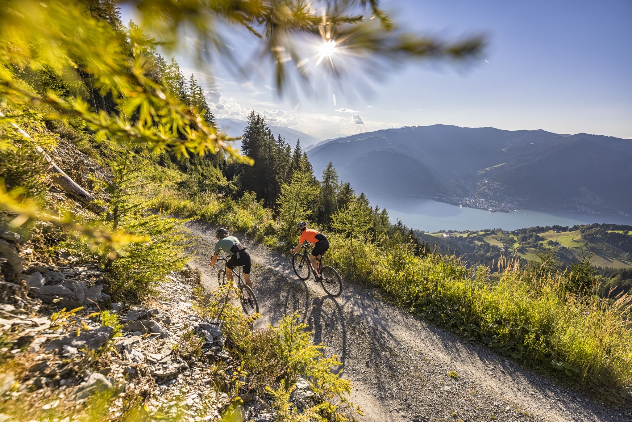
Gravel adventures in Austria’s SalzburgerLand

On a voyage of discovery in Austria’s High Tauern National Park
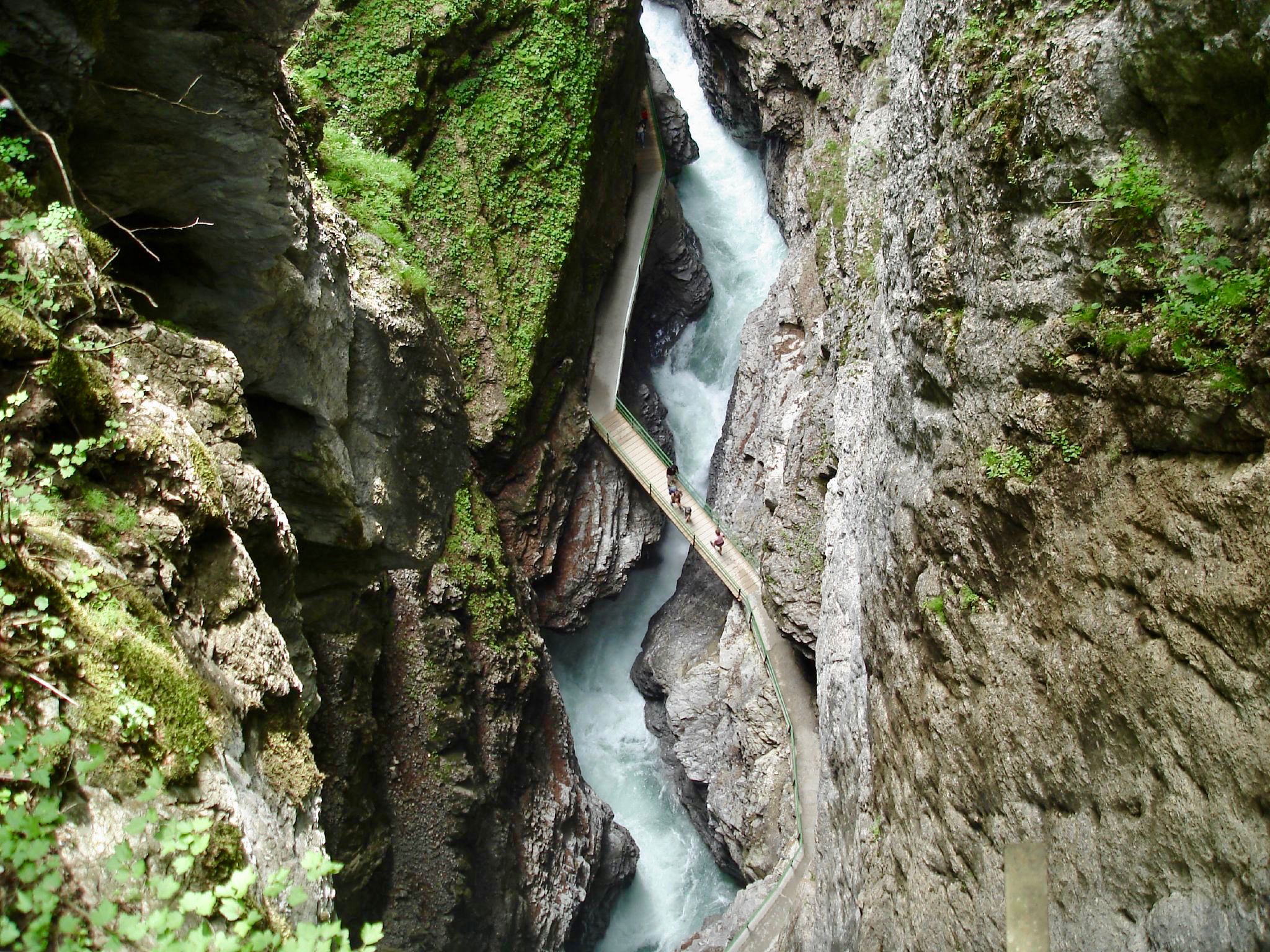
The most beautiful gorges of the Alps
カプルーンでのの他の冒険


コミュニティからのヒント

Exciting and charming suspension bridge in an interesting rocky landscape. It spans the narrow rocky gorge through which the Möll rushes wildly from the upper Sandersee down to the Margaritzen reservoir.
1
0

It is only a few minutes from the chapel to the waterfall. It is definitely worth investing the time. Especially when it is not yet so dry and large amounts of water are coming from the mountains,
0
0

It is not a waterfall. It is the overflow of the Klammsee. A dam wall for the power plant group's own use plant in Kaprun. Beautifully embedded at the end of the gorge.
1
1

Experience the impressive effect of the torrents: from round washouts to majestic waterfalls - a landscape shaped by the power of water. In the Hohe Tauern, torrents make their way through hard rock, forming round washouts, scours and whirlpools as well as impressive waterfalls. The gorge features arise as long as the steep side slopes remain stable. The rocks, mainly from the Wildschönau slate, are almost 500 million years old and tectonically assigned to the Upper Eastern Alpine. However, the soft shales are susceptible to weathering, favoring V-shaped valleys and rounded peaks. Slate formations do not allow deep gorges to form, which is why side slopes often slide. Disasters such as mudflows and floods force the stream to be blocked and retention barriers to be built to protect the towns. The forest also plays a crucial role in protecting against erosion. Maple-ash forests or gray alder slope forests stabilize the slopes and minimize the risk of mudslides and landslides. Protective measures such as avoiding clear-cutting and promoting natural forest communities are crucial for the preservation and stability of the mountain landscape.
0
0
The Leiterbach flows from the Leiterköpfe (three peaks above in the west) along the steep slopes down to the Möll or into the Mölltal. Shortly before the confluence it falls over rock faces into the depths. This interesting path leads from the hiking trail through the Mölltal first to a wooden bridge over the Leiterbach below the waterfall at this point and then in serpentines on the steep slope east of the stream and the waterfall up to the Trogalm or vice versa. There are exciting views of the waterfall from the side. Compare this with HL. "Great waterfall" further down the wooden bridge!
1
0
The Leiterbach flows from the Leiterköpfe (three peaks above in the west) along the steep slopes down to the Möll or into the Mölltal. Shortly before the confluence it falls over rock faces into the depths. An interesting path leads from the hiking trail through the Mölltal, first to a wooden bridge over the Leiterbach below the waterfall at this point and then in serpentines on the steep slope east of the stream and the waterfall up to the Trogalm (see HL: "Challenging hiking trail"). There are exciting views of the waterfall from the side.
1
0

Idyllic but challenging hiking trail between Trogalm and Briccius Chapel. Steep, rocky and rooted sections.
0
0

komootモバイルアプリでインスピレーションを得よう


さらに探索
少し遠出するのは嬉しいですか?それなら、これらのガイドで最高の滝を見てみましょうカプルーンでの:
