グムンデンの天然記念物・トップ20
グムンデンが誇る美しい風景を見てみたいなら、グムンデンの素晴らしい天然記念物・トップ20
に行ってみましょう。あなたにぴったりの場所が見つかるよう、素晴らしい天然記念物を探索するために必要なすべての情報を集めました。次のアウトドアの冒険に出かける計画の参考にしましょう。
最終更新日: 10月 13, 2026
フォアダー・ゴザウゼー(前ゴザウ湖)
ハイライト • 湖
翻訳者 Google •
役立つ情報 は

ラウダッハ湖
ハイライト • 湖
翻訳者 Google •
役立つ情報 は
今すぐサインアップして、こんな場所を発見しよう
最高のシングルトラック、ピーク、その他のエキサイティングなアウトドアスポットのおすすめを受け取ろう。
グローサー・ゾンシュタイン山頂
ハイライト • 山頂
翻訳者 Google •
役立つ情報 は

Steineck
ハイライト • 山頂
翻訳者 Google •
役立つ情報 は

フォアダラー・ゴザウゼー
ハイライト • 湖
翻訳者 Google •
役立つ情報 は
カースベルク山頂の十字架
ハイライト • 山頂
翻訳者 Google •
役立つ情報 は
ホーエル・ダッハシュタイン
ハイライト • 山頂
翻訳者 Google •
役立つ情報 は

グローサー・プリール
ハイライト • 山頂
翻訳者 Google •
役立つ情報 は

エーヴィゲ・ヴァント
ハイライト (セグメント) • 自然記念物
翻訳者 Google •
役立つ情報 は

グリュンベルク山頂と樹冠歩道
ハイライト • 山頂
翻訳者 Google •
役立つ情報 は

無料でサインアップして、さらに多くの自然記念物を発見しましょう グムンデンでの。
すでにアカウントをお持ちですか?
無料アカウントで今日から始めよう
次の冒険が待っています。
グムンデン周辺で人気
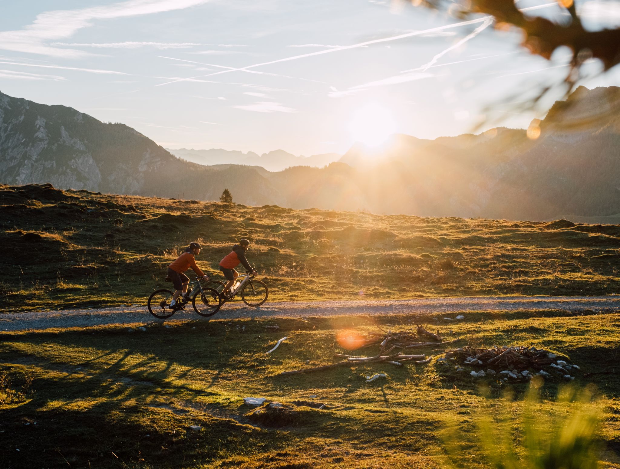
Beyond the pavement – explore Austria's wild nature on a gravel bike
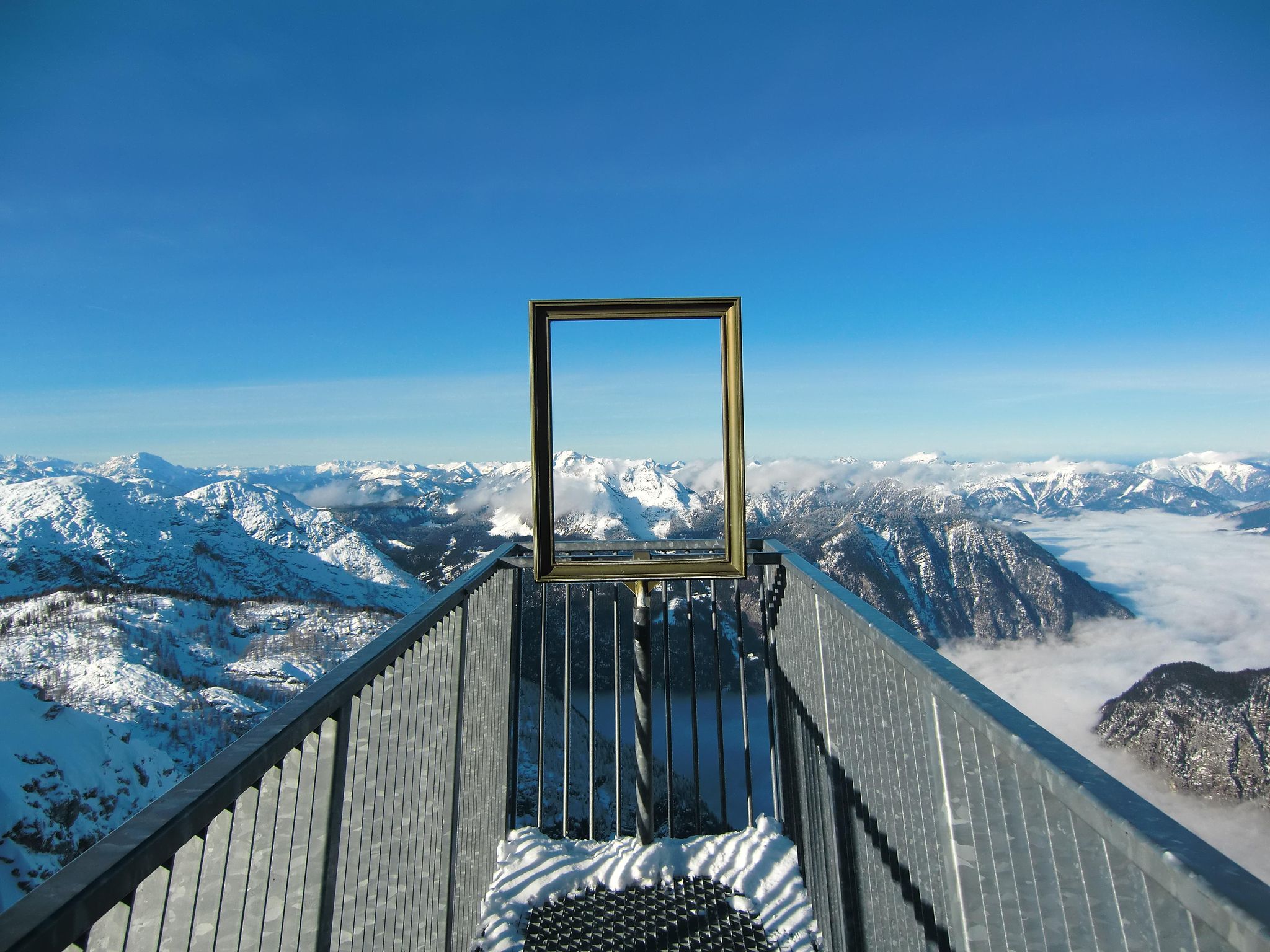
#Winterlove — 14 tips for your winter adventure in Austria
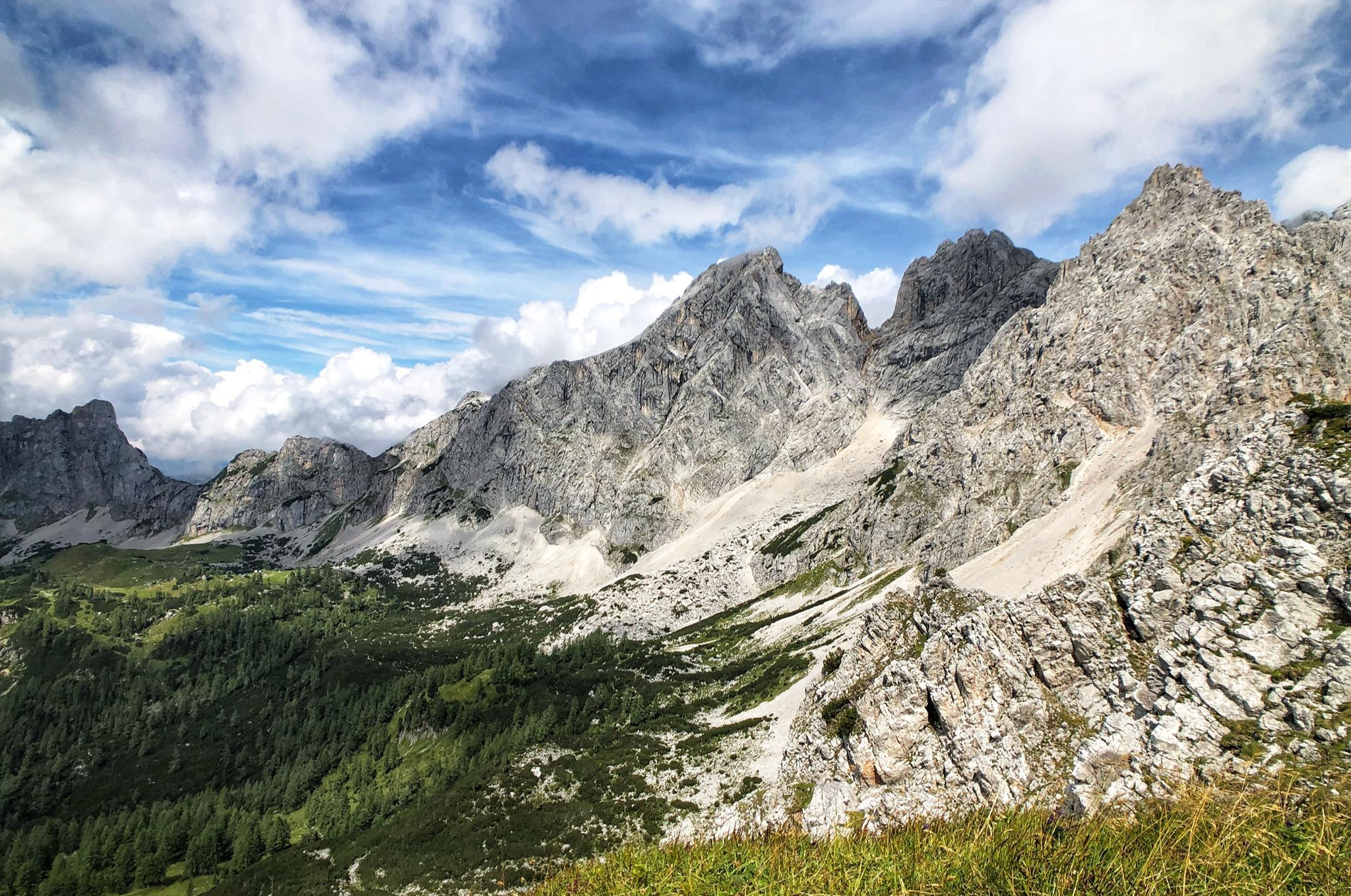
八日間のダックスタイン山地 – ダックスタイン・ルントヴァンデルヴェーク
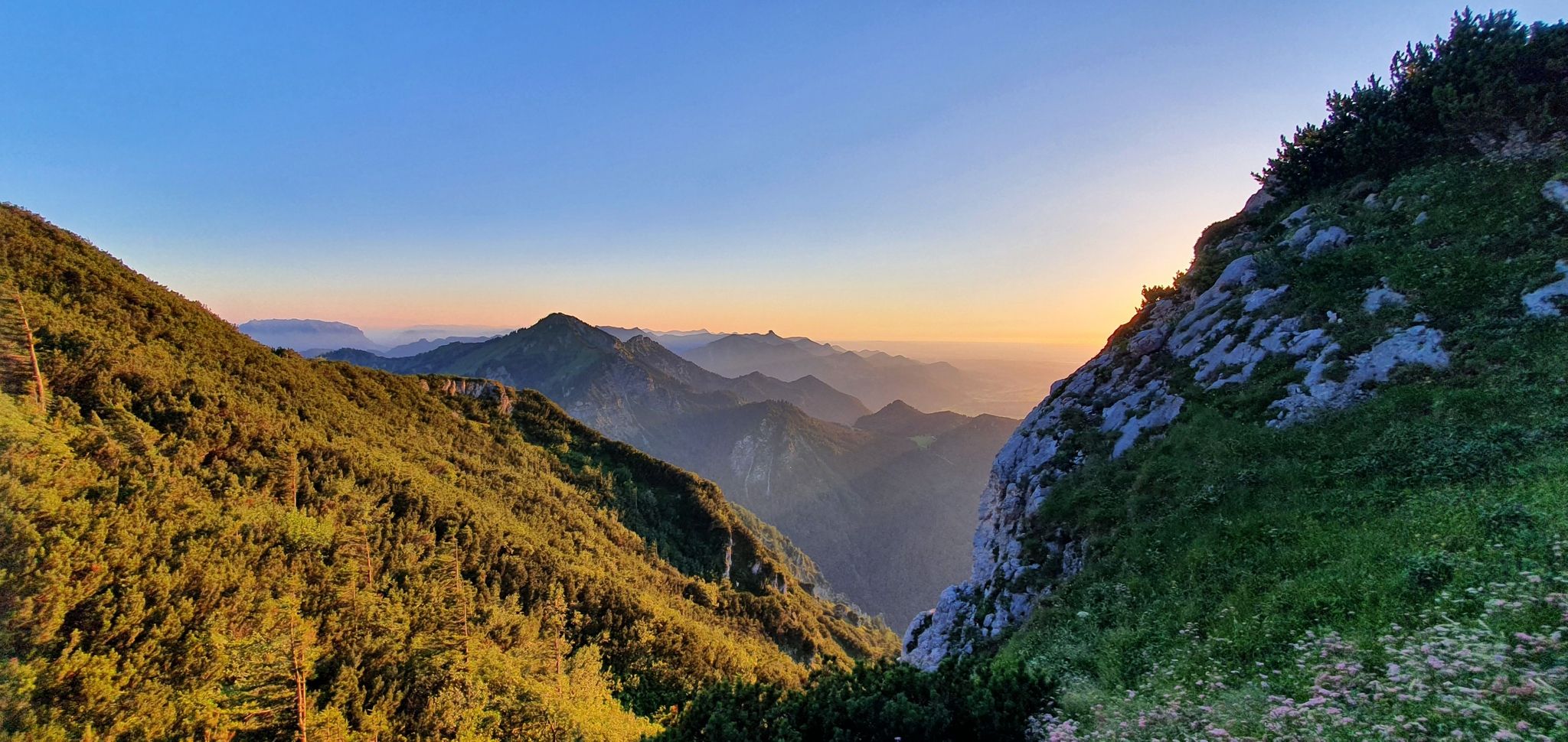
白い金の跡を追う:ザルツ・アルペンシュタイグ

オーストリアを49日間でハイキング - 北アルプストレイル01
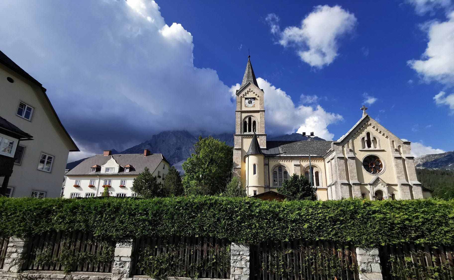
アースリアールドルックルーランドがないません - バートの路後
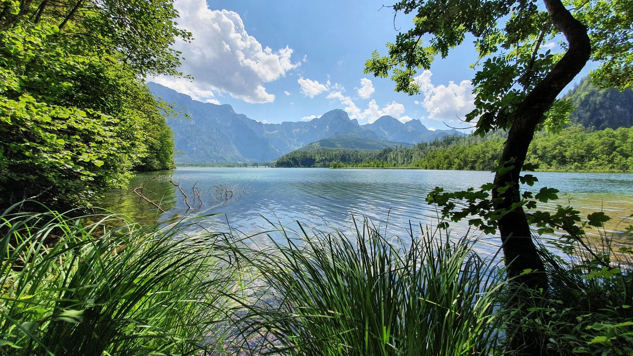
ウィーンからバット・ライヘンハルまでのハイキング、フォーラルプンヴェク04
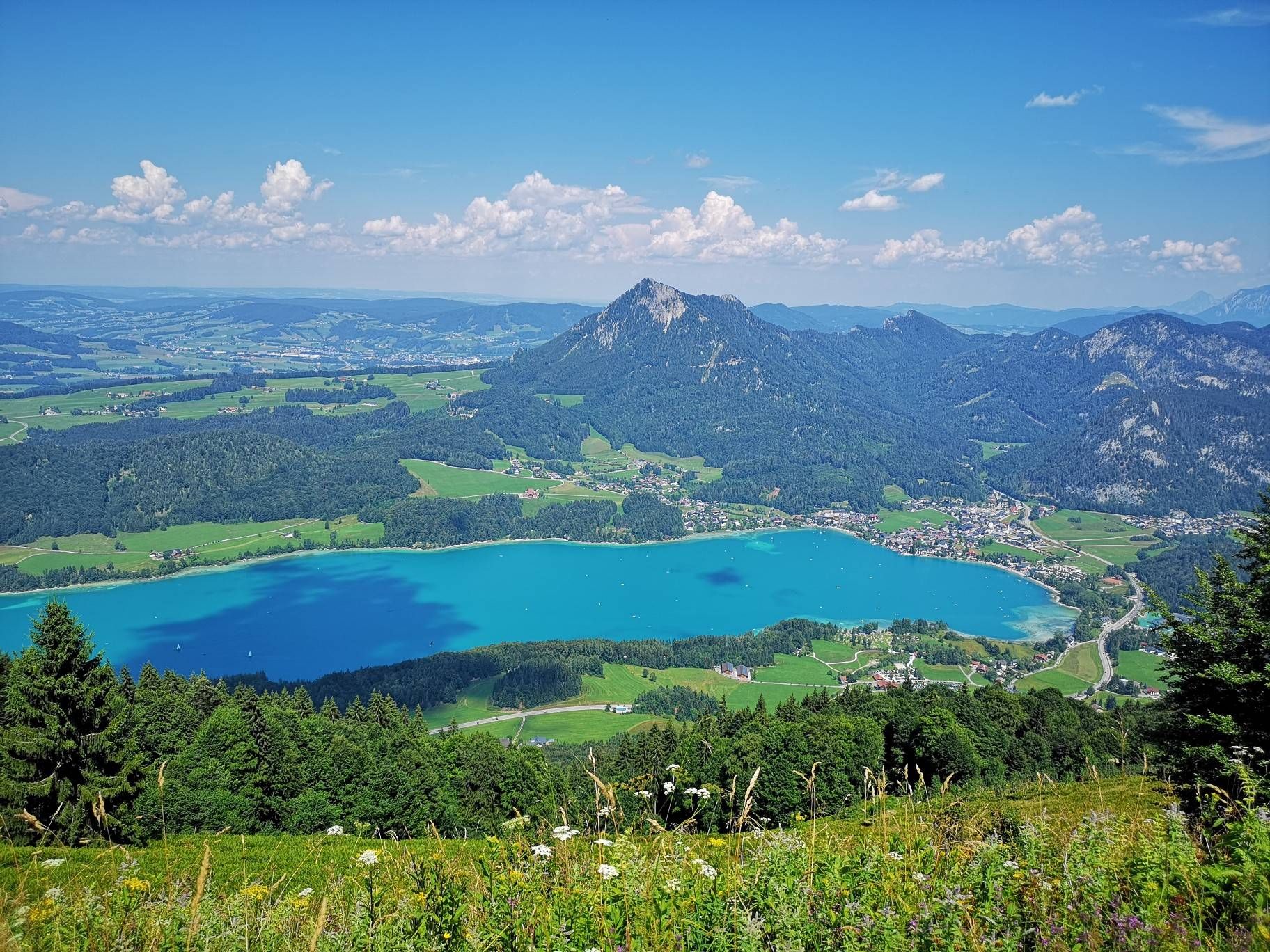
オーストリアのザルツカメルグートでの長距離ハイキング - 山と湖がたくさん
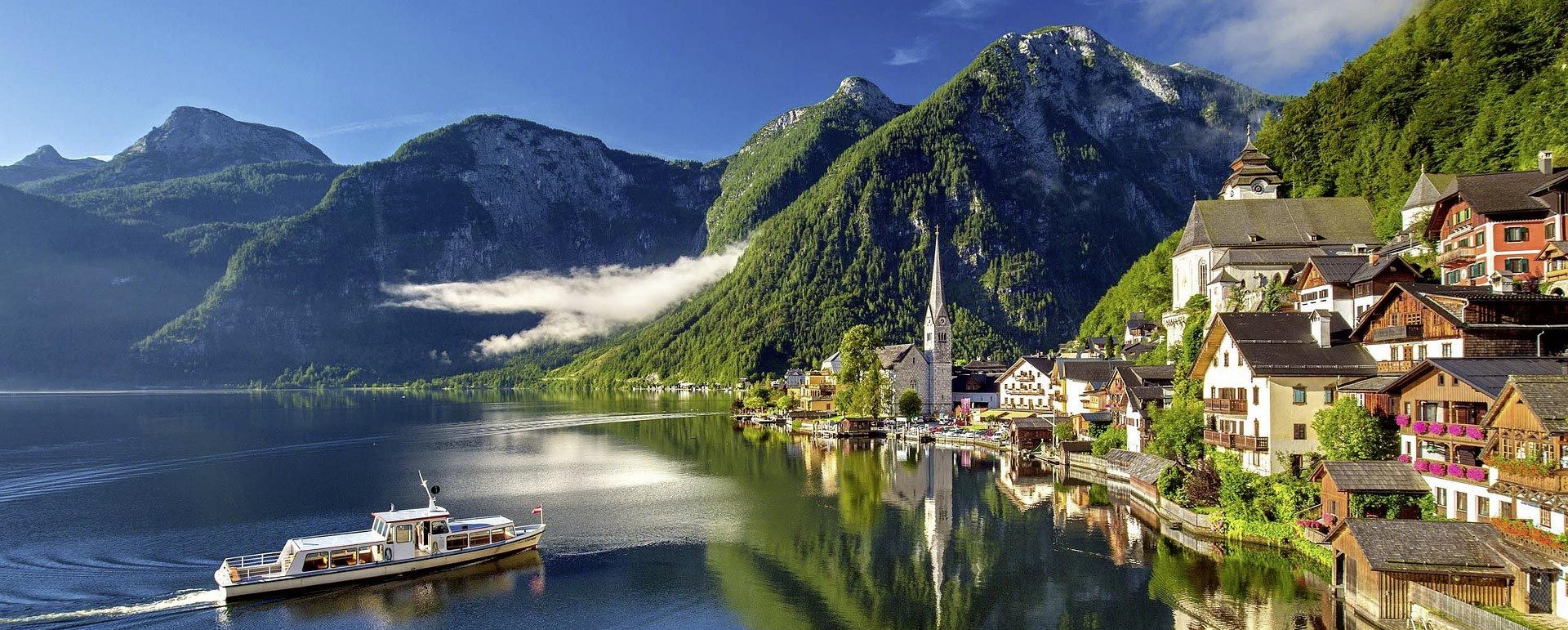
カイゼルのようにサイクリング – オーストリアのザルツカメルグートの湖から湖へ
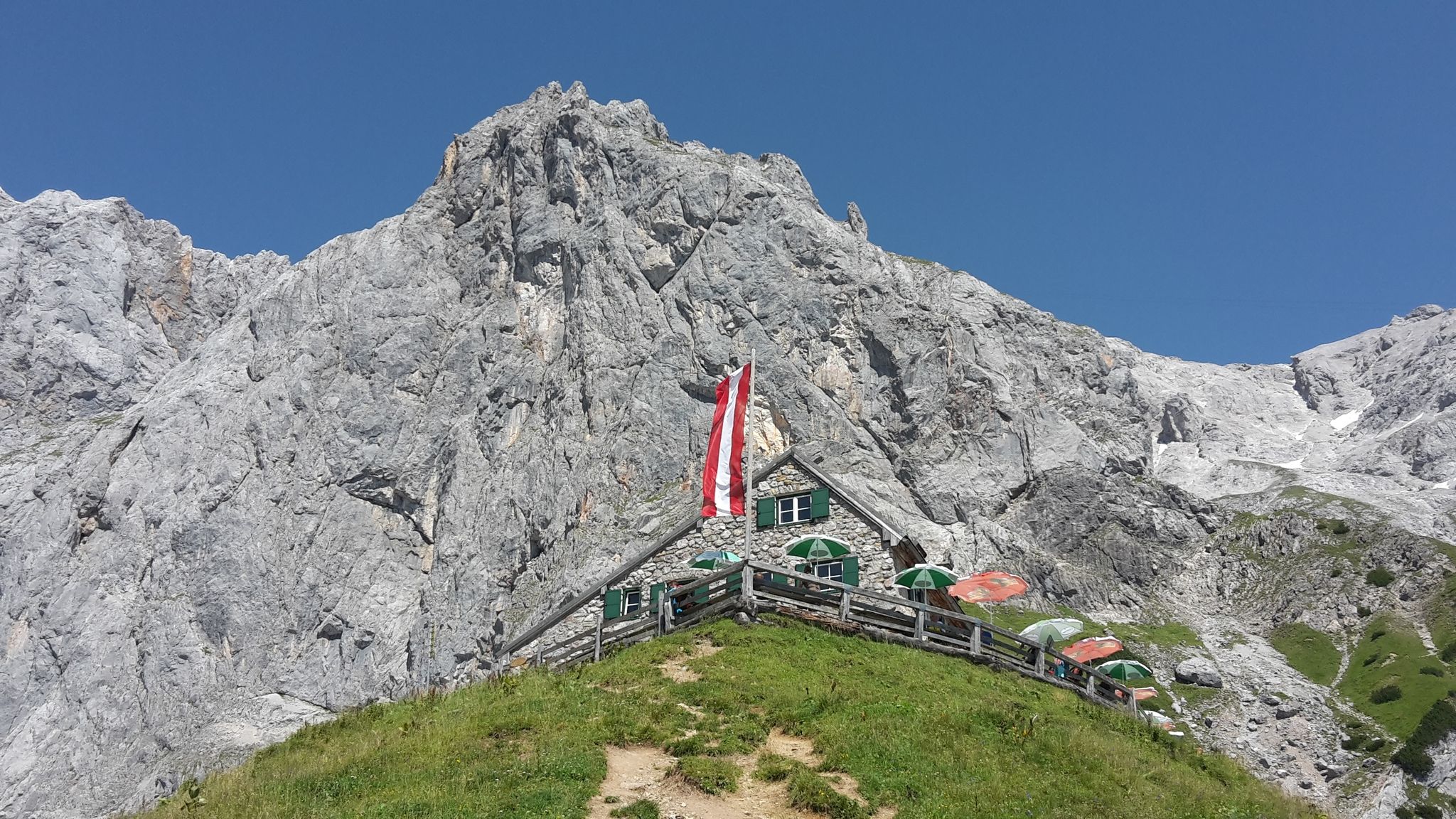
Dachstein hut loop:好きな小屋をDachstein massifで探してね
グムンデンでのの他の冒険


コミュニティからのヒント

Beautiful view of the Traunstein and the Totes Gebirge.
6
0

Recommended in combination with the small Sonnstein, but not on its own, as the view is only possible from the very front at the edge and the view from the small Sonnstein is much nicer and there is more to see from there.
1
0

Great hike. Also suitable for children aged 12 and over.
0
0

Dachstein coming from the south is quite a challenge. At least 800 meters of often vertical rock face are very impressive. The shoulder climb is underestimated by many tourists. For me, the first 30 meters or so of the start is more of a "C". And you think the KS is short. Wrong. The climb overcomes the summit structure in several stages and is quite long. But it is really 🥰if the weather is right. To descend, I took the Randkluftsteig to the glacier. It is anything but trivial at the bottom because there is no rope for the last 20 meters. But there are steel pins and a few clamps. You can only be properly secured with a rope partner. OK, it might be a B but be careful‼️. The Randkluft itself can also be bad. So for this variant, crampons, a partner and a short rope are advantageous. It took me a total of 4 hours and I didn't think I was slow.
3
4

Great view of the Traunstein and the surrounding area. If you walk quickly, you can reach the summit in 1 hour. The path from the summit to the right further down is partly overgrown but recognizable (waterproof shoes are an advantage if you are out and about in the morning...wet, tall grass)
1
0

Beautiful path from the Sepp Huber Haus to the summit over rocks, pastures, meadows and through a mountain pine forest
0
0

Highest mountain in Upper Austria that is located entirely in Upper Austria. End point of the Priel via ferrata and a great mountain with a great view.
1
1

600 meters up from Ebensee in one go! It's quite something! 😅
5
0

komootモバイルアプリでインスピレーションを得よう


探していたものは見つかりませんでしたか?
地域ごとのトップハイライトをチェックして、さらに素晴らしい自然のモニュメントを見つけましょうグムンデンでの:
さらに探索
これらのガイドで、最高の洞窟を探す範囲を広げましょうグムンデンでの:
