グログニッツの絶景の山頂・トップ20
絶景を目指して登るのであれ、達成感のために登るのであれ、山頂を訪れることで、グログニッツの美しい自然をもっと満喫することができます。20
もの選択肢の中から、制覇する山頂を決めるのは簡単ではありません。スムーズに次の冒険で目指す山頂を選べるように、グログニッツの素晴らしい山頂をこのガイドにまとめました。
最終更新日: 10月 24, 2026
ヒルシェンコーゲル ミレニアムスヴァルテ展望塔
ハイライト • 展望台
翻訳者 Google •
役立つ情報 は

クルムバッハシュタイン
ハイライト • 山頂
The modern Naturfreundehaus Knofeleben …
翻訳者 Google •
役立つ情報 は

今すぐサインアップして、こんな場所を発見しよう
最高のシングルトラック、ピーク、その他のエキサイティングなアウトドアスポットのおすすめを受け取ろう。
アラビヒル山頂
ハイライト • 山頂
翻訳を表示中
役立つ情報 は

ルッカーテ・ヴァントの岩場と展望スポット
ハイライト • 展望台
翻訳者 Google •
役立つ情報 は
エルツコーゲル山頂と稜線トレイル
ハイライト (セグメント) • 山頂
翻訳者 Google •
役立つ情報 は

無料でサインアップして、さらに多くの山を発見しましょう グログニッツでの。
すでにアカウントをお持ちですか?

コミュニティからのヒント

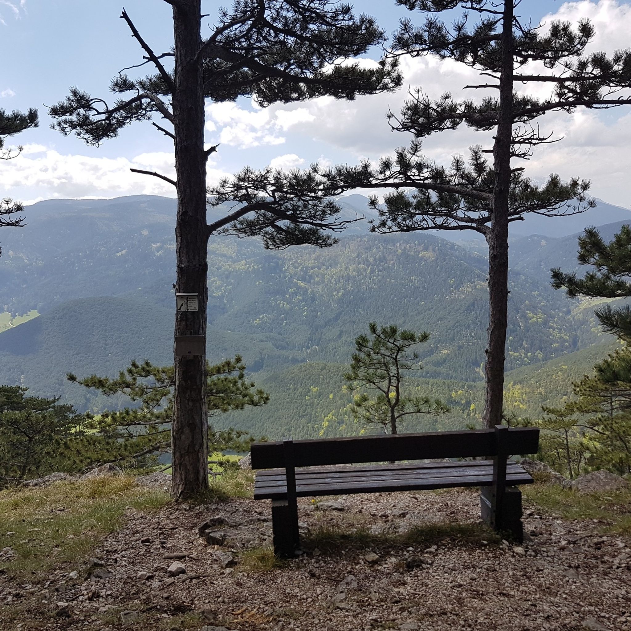
アラビッヒルは、ヴェクセルゲビートにある標高1,595メートルの眺めの良い頂です。広々とした開けた山頂は、天気が良ければ、特にホッホヴェクセル、ブリュッケ・ヴェルト、シュネーベルク、ラクス、ゼメリング、シュトゥレック方面への素晴らしいパノラマビューを提供します。山頂には典型的な山頂の十字架はありませんが、標識と休憩用のベンチがあり、眺めの良い場所での休憩を誘います。
3
1


Nice big round, I'll definitely go again
3
0
The Dr. Erwin Pröll Millennium Observatory on the Hirschenkogel is a modern observation tower and a true highlight of the region. From its spacious platform, you can enjoy breathtaking 360-degree views of the Vienna Alps, the Rax Mountains, the Schneeberg Mountains, and far into Styria. The tower is easily accessible by cable car or on foot, making every visit to the Hirschenkogel a special experience.
5
0
The observation tower on the Hirschenkogel is perched right next to the mountain station and offers spectacular panoramic views of the Semmering region. From the platform, an impressive panorama opens up over the Rax, the Schneeberg, and the Styrian mountains, all the way to the Vienna Basin. The climb to the tower is worthwhile at any time of year and makes the Hirschenkogel a special highlight of the region.
4
0
The observation tower on the Hirschenkogel is a striking highlight, located right next to the cable car mountain station. From the platform, you can enjoy a 360-degree panoramic view of the Semmering region, the Rax, the Schneeberg, and far into Styria. Especially in clear weather, the climb is worthwhile to enjoy the impressive views and experience the surrounding mountains from a new perspective.
5
0
The Erzkogel summit lies on the scenic ridge between Dürriegel and Sonnwendstein, offering sweeping views over the Semmering region, the Rax, and the Schneeberg. The narrow ridge path gently climbs and descends through open passages and sparse forests, making it a particularly varied section of the hike. Here, you can enjoy both the tranquility of nature and impressive panoramas.
7
0

The Semmering Hirschenkogel, at 1,340 meters (summit), is an important sports and recreation area in Austria on the border between Lower Austria and Styria. The central location, good public transport connections, and the outstanding range of activities in the Semmering region make it an easily accessible and popular destination, both in winter for skiing, snowboarding, and tobogganing, and in summer for biking, climbing, and hiking. As a reward, excellent cuisine awaits you at various mountain huts!
3
0

komootモバイルアプリでインスピレーションを得よう


さらに探索
これらのガイドでさらに素晴らしい頂上を見てみましょうグログニッツでの:
