ザマーベルクのおすすめMTBライド
4.6
(451)
2,585
ライダー
58
ライド
ザマーベルク周辺には魅力的なマウンテンバイクルートがいくつもありますが、冒険を始めるにはその場所とルートを把握する必要があります。ここでは、komootが提供するザマーベルク周辺でのマウンテンバイクルートのコレクション全体を評価して選び抜いた、人気ルートをご紹介します。各ライドの詳細をぜひご覧ください。
最終更新日: 9月 14, 2026
4.7
(115)
469
ライダー
26.2km
02:30
780m
780m
難しいマウンテンバイクライド. ある程度のフィットネスレベルが必要です。 高度なライディングスキルが必要です。ツアーの一部で自転車を押して歩く必要があるかもしれません。
4.6
(58)
289
ライダー
22.4km
02:08
730m
730m
中程度のマウンテンバイクライド. ある程度のフィットネスレベルが必要です。 あらゆるスキルレベルに適しています。

4.5
(27)
104
ライダー
24.0km
02:01
590m
590m
中程度のマウンテンバイクライド. ある程度のフィットネスレベルが必要です。 あらゆるスキルレベルに適しています。
4.1
(15)
111
ライダー
23.5km
02:19
750m
750m
難しいマウンテンバイクライド. ある程度のフィットネスレベルが必要です。 高度なライディングスキルが必要です。ツアーの一部で自転車を押して歩く必要があるかもしれません。
4.8
(25)
107
ライダー
37.0km
03:26
1,080m
1,080m
難しいマウンテンバイクライド. 標準以上のフィットネスレベルが必要です。 高度なライディングスキルが必要です。ツアーの一部で自転車を押して歩く必要があるかもしれません。
さらに多くのルートや他のユーザーのおすすめ情報を確認できます。
すでにアカウントをお持ちですか?
おすすめのツアーは他のkomootユーザーが実際に経験した何千ものアクティビティに基づいています。
無料アカウントで今日から始めよう
次の冒険が待っています。


コミュニティからのヒント


The Kranzhorn and the opposite Wildbarren formed the gateway to the Inn Valley Glacier during the Würm Ice Age. On the German side, the mountain belongs to the municipality of Nußdorf am Inn in the Rosenheim district, and on the Austrian side to the municipality of Erl in the Kufstein district. Since 1504, the border between Bavaria and Austria has run through the middle of the summit plateau. The border was definitively established in 1670, and some of the boundary stones can still be found next to the hiking trails. The summit of the mountain therefore bears two summit crosses and is visible from afar in the Inn Valley. Source: https://de.wikipedia.org/wiki/Kranzhorn
0
0


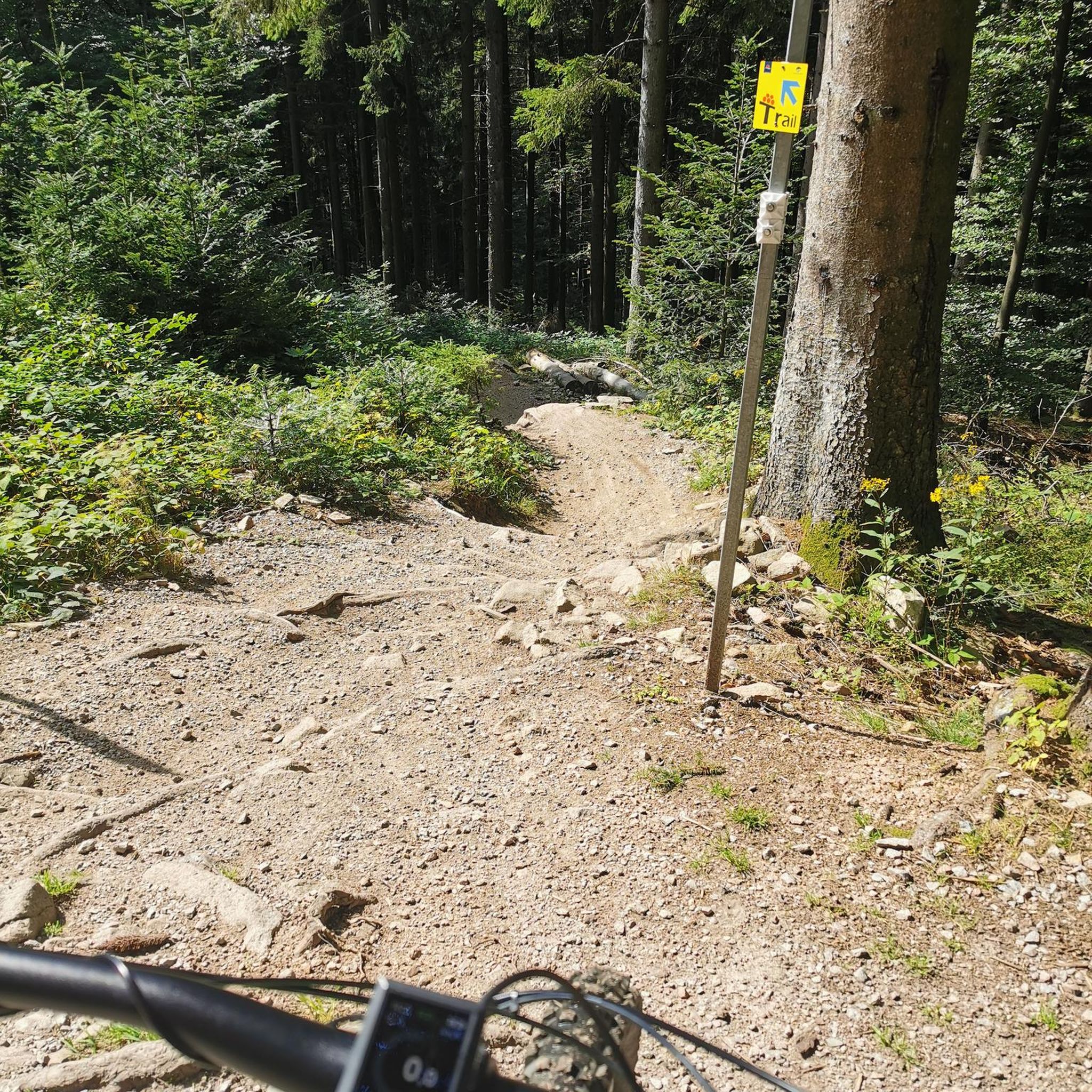
Very nice trail with some small challenging sections
0
0

komootモバイルアプリでインスピレーションを得よう


さらに探索
他の地域の最高のMTBトレイルを見てみましょう。
