アイツィングのおすすめライド
4.6
(128)
2,473
ライダー
262
ライド
アイツィング周辺でのロードバイクライドをお考えですか?komootはアイツィング周辺のあらゆるロードバイクライドを評価し、人気ルートを厳選しました。アイツィング周辺の各ロードバイクルートの詳細をご覧になり、自分に合ったルートを見つけてください。
最終更新日: 10月 18, 2026
31
ライダー
69.0km
02:59
370m
370m
中程度のロードライド. ある程度のフィットネスレベルが必要です。 全般的に舗装状態が良好で走行しやすい道です。
5.0
(2)
53
ライダー
54.8km
02:18
290m
290m
中程度のロードライド. ある程度のフィットネスレベルが必要です。 全般的に舗装状態が良好で走行しやすい道です。

3.5
(2)
22
ライダー
中程度のロードライド. ある程度のフィットネスレベルが必要です。 全般的に舗装状態が良好で走行しやすい道です。
5.0
(1)
39
ライダー
25.2km
01:09
110m
100m
初級者向けロードバイクライド. 全般的に舗装状態が良好で走行しやすい道です。
5.0
(2)
32
ライダー
33.8km
01:32
140m
140m
初級者向けロードバイクライド. 全般的に舗装状態が良好で走行しやすい道です。
さらに多くのルートや他のユーザーのおすすめ情報を確認できます。
すでにアカウントをお持ちですか?
おすすめのツアーは他のkomootユーザーが実際に経験した何千ものアクティビティに基づいています。
無料アカウントで今日から始めよう
次の冒険が待っています。
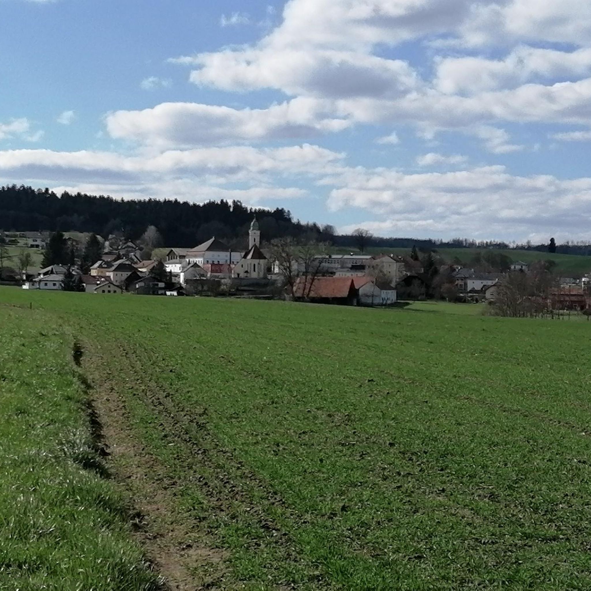
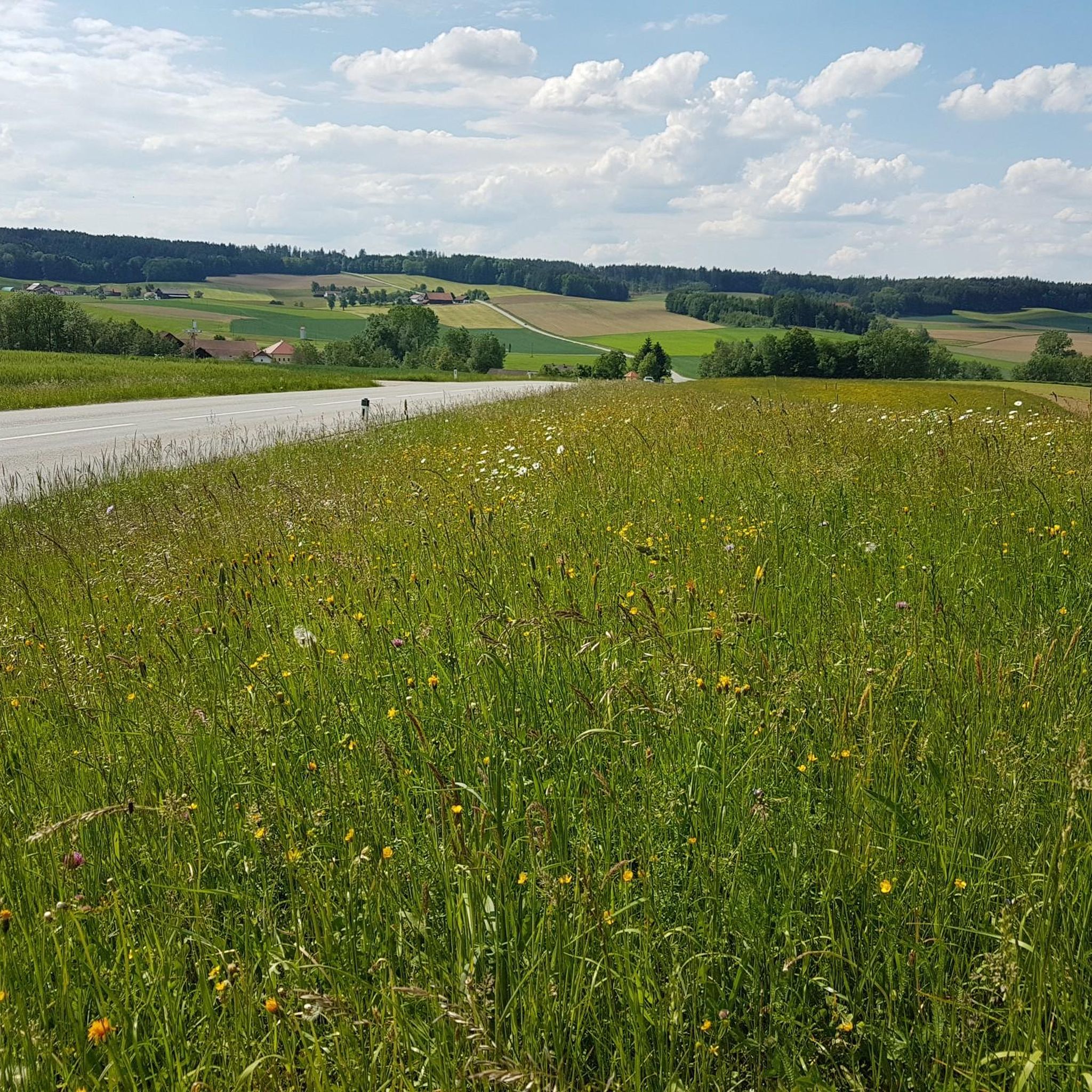
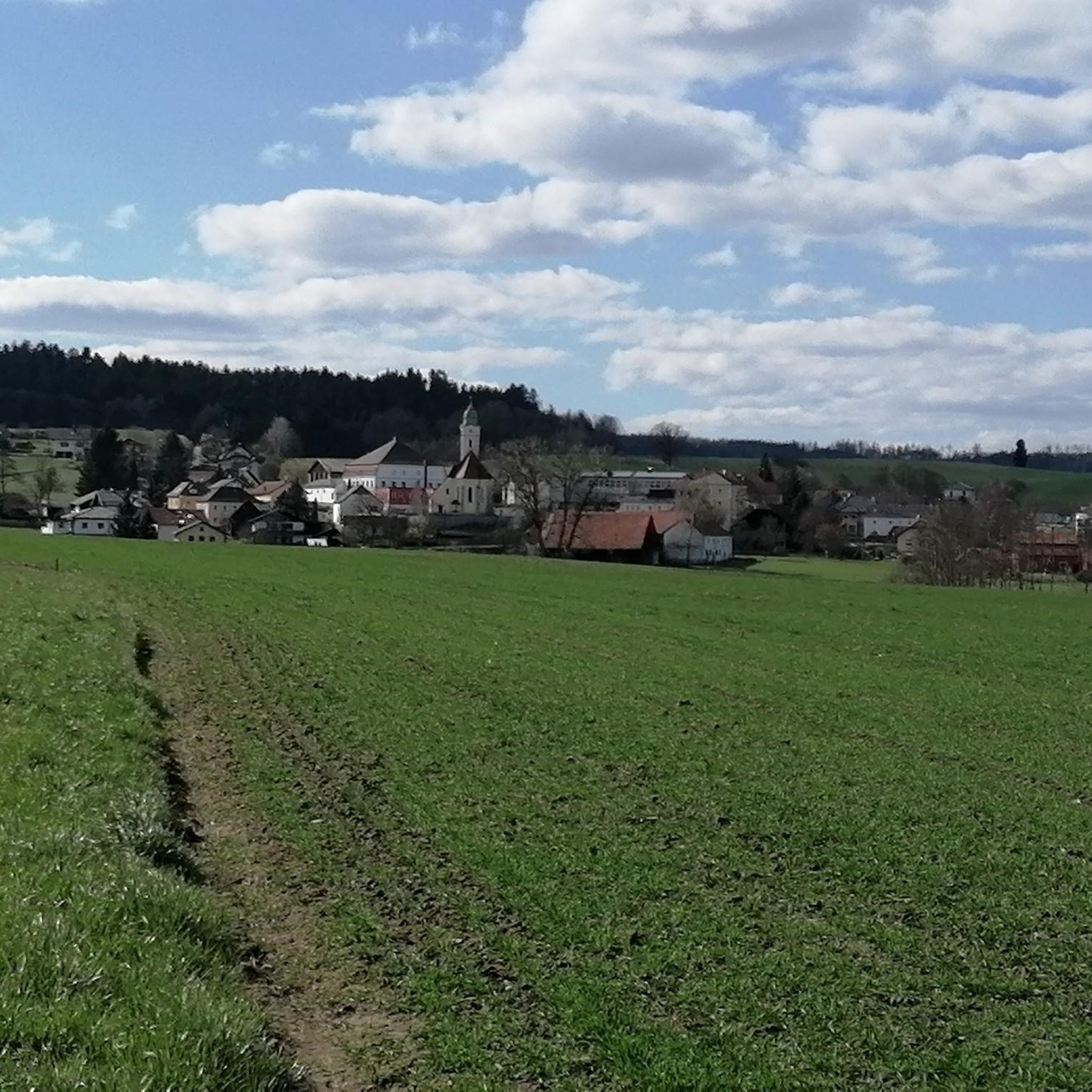
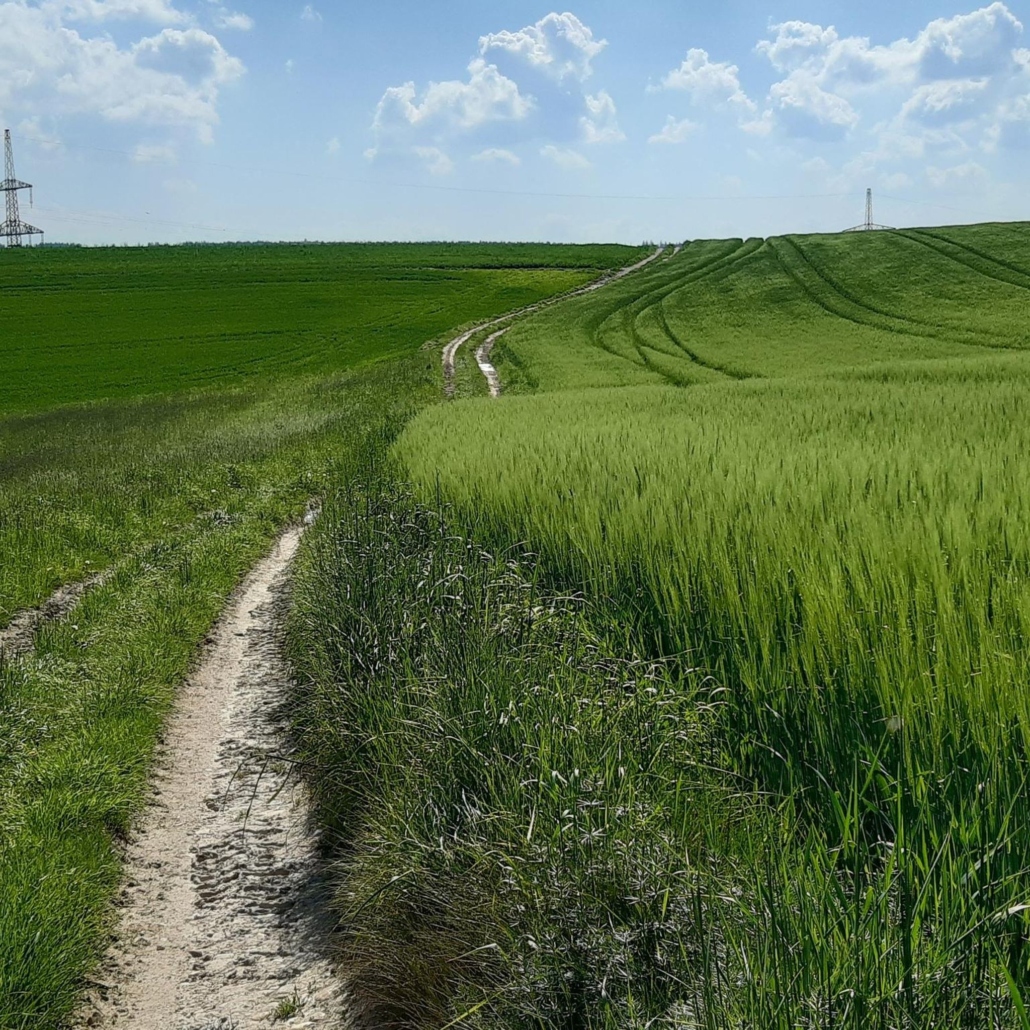
コミュニティからのヒント


Schloss Neuhaus am Innはドイツのバイエルン州にあり、イン川の谷の素晴らしいパノラマビューを提供しています。
0
0

完璧な写真を撮るための城の景色を望む最適なホットスポット。アイスクリームパーラーも敷地内にあります。
3
0

Ried is situated in the heart of the Innviertel hill country, in a depression of the Alpine foothills north of the Hausruck Forest. The town's name derives from the Middle High German word "Riet" (also: "Rieth," "Reet," "Rohr," and similar terms), meaning reeds growing on riverbanks and marshy ground. A spot where the gradient of the two rivers, Oberach and Breitsach, slowed and saturated the soil gave the town its name. The two rivers converge north of the old town to form the Rieder Bach, a stream that flows for 2.6 kilometers before emptying into the Antiesen River outside the town limits. Ried im Innkreis lies at an altitude of 433 meters. It extends 3.2 kilometers from north to south and 3.6 kilometers from west to east, covering a total area of 6.7 square kilometers.
3
0
Ried im Innkreis is a town in western Upper Austria with 12,766 inhabitants, located approximately 80 kilometers west of Linz and 60 kilometers northeast of Salzburg. It is the district capital of the Ried district and a regional center within the Innviertel region. It is also the center of the Ried im Innkreis judicial district.
2
0

The small church "on the hill" has a long tradition. It was named after the Capuchin friars.
0
0
The parish church of Kirchdorf am Inn is located in the municipality of Kirchdorf am Inn in Upper Austria. It is the Roman Catholic parish church of the Assumption of Mary.
0
0
アイツィングでのの人気観光スポット

komootモバイルアプリでインスピレーションを得よう


さらに探索
他の地域の最高のロードサイクリングルートを見てみましょう。
