ルート

プランナー

機能

アップデート

App

ログインまたはサインアップ

アプリを入手

ログインまたはサインアップ

ルート
Places to see
Mountain Peaks
ドイツ
ラインラントプファルツ州
Rhein-Hunsrück-Kreis

ゲミュンデン

ゲミュンデンの絶景の山頂・トップ11


絶景を目指して登るのであれ、達成感のために登るのであれ、山頂を訪れることで、ゲミュンデンの美しい自然をもっと満喫することができます。11
もの選択肢の中から、制覇する山頂を決めるのは簡単ではありません。スムーズに次の冒険で目指す山頂を選べるように、ゲミュンデンの素晴らしい山頂をこのガイドにまとめました。

最終更新日: 8月 31, 2026

エラースプリング

ハイライト • 山頂

The tower is fenced wide. Therefore, the summit offers less beautiful views than it used to be on the Soonwaldsteig from the heights.

翻訳者 Google •

役立つ情報

によるものです

ここでのハイキングを見る

スマートフォンに送信

保存

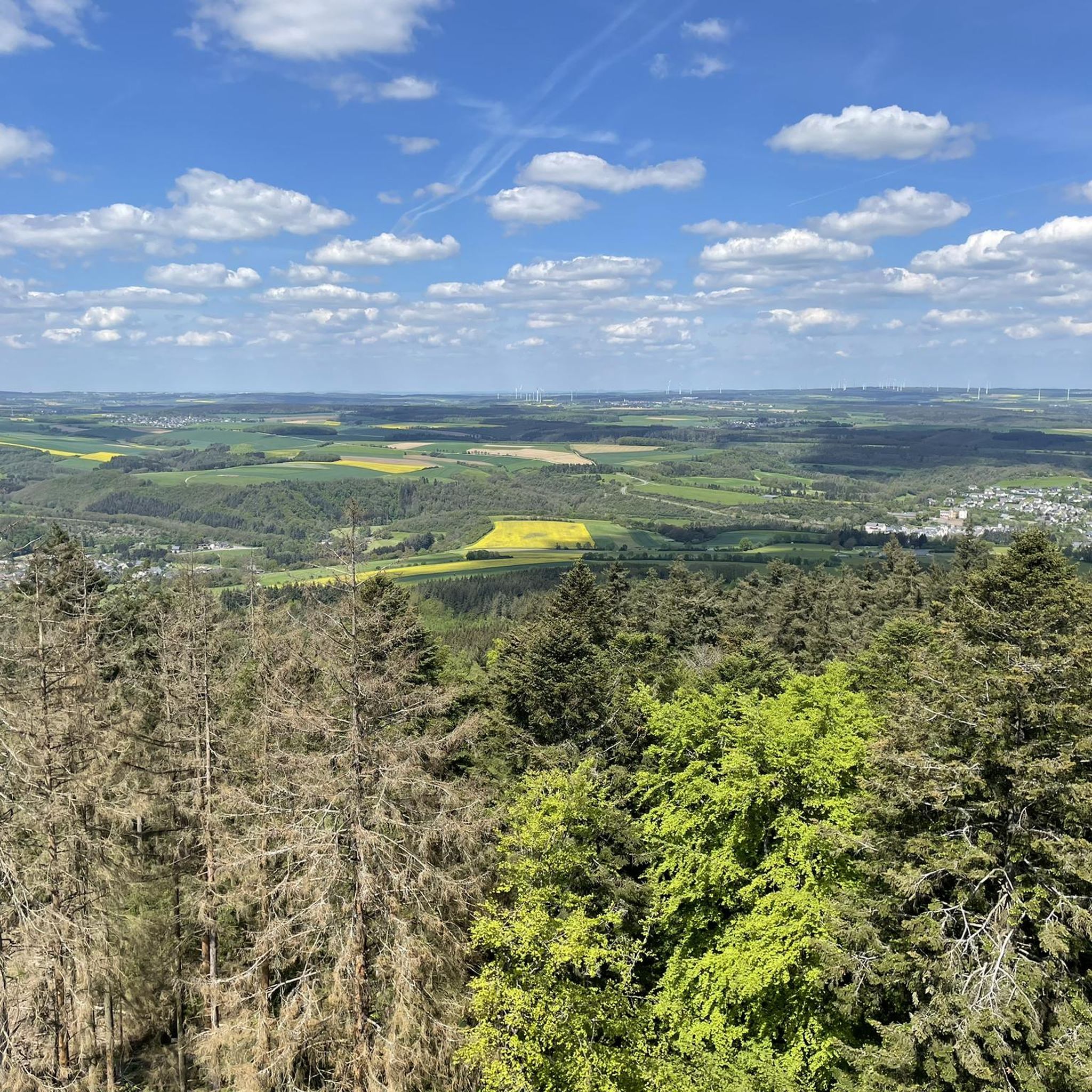
The 16 meter high keep can be climbed via a narrow steel staircase. The ascent is rewarded with a 360-degree panoramic view of the Hunsrück plateau.

翻訳者 Google •

役立つ情報

によるものです

保存

今すぐサインアップして、こんな場所を発見しよう

最高のシングルトラック、ピーク、その他のエキサイティングなアウトドアスポットのおすすめを受け取ろう。

無料新規登録

アルテブルク塔

ハイライト • 記念碑

At an altitude of around 620 meters, the Alteburg is one of the highest mountains in the Soonwald. On top of the wooded summit stands since 1893, the 20-meter high …

翻訳者 Google •

役立つ情報

によるものです

保存

he Simmerkopf in the Soonwald is 653 m above sea level. NHN the highest elevation in the Rhein-Hunsrück district. The mountain lies on the municipality of Riesweiler. The summit is …

翻訳者 Google •

役立つ情報

によるものです

保存

ヒーレベルク山頂の十字架

ハイライト • 山頂

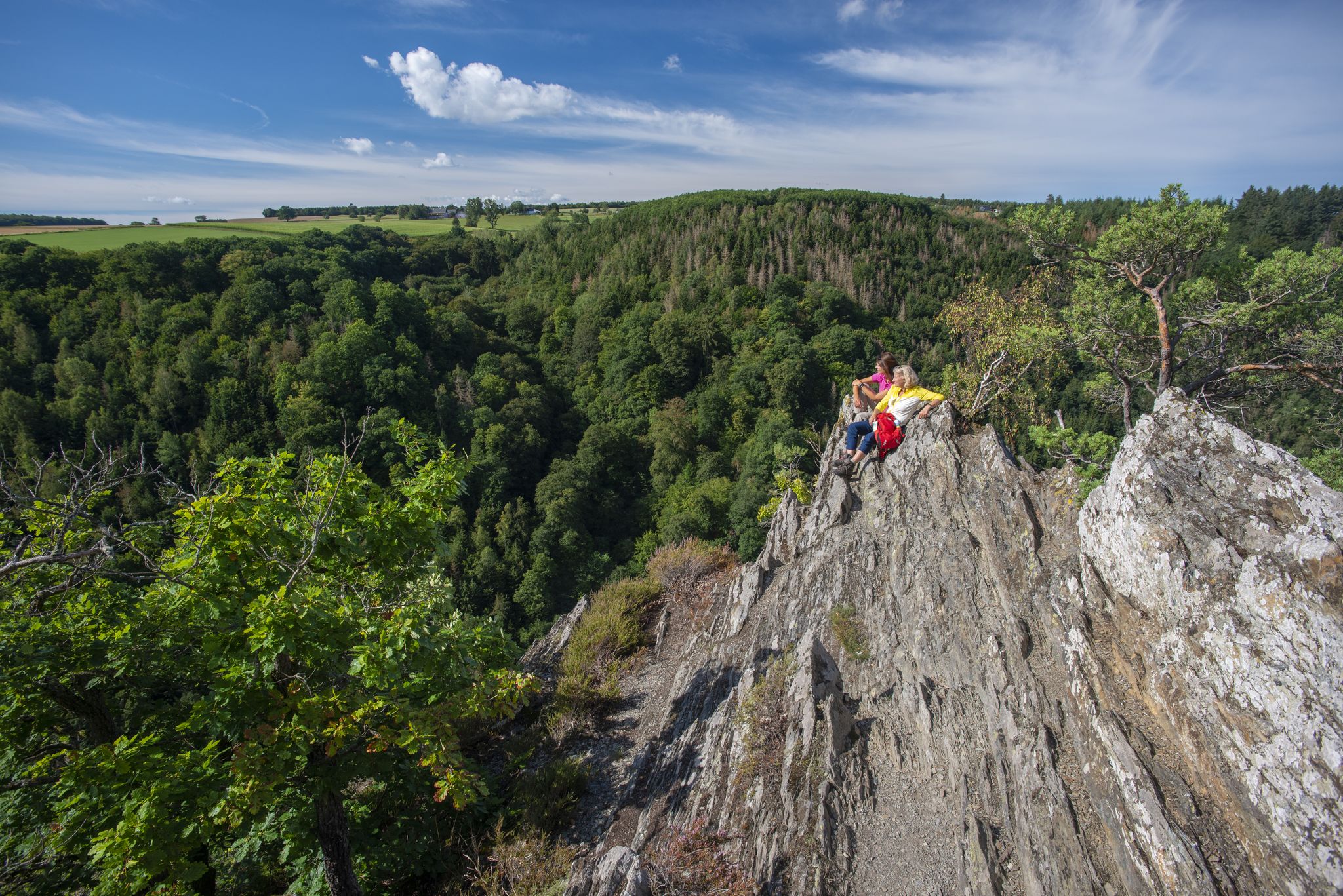
Above the barbecue area in Kellenbach, the Müchelberg massif, visible from afar, rises. A steep path leads along the rock ridge to the summit cross, where a bench invites you …

翻訳者 Google •

役立つ情報

によるものです

保存

無料でサインアップして、さらに多くの山を発見しましょう ゲミュンデンでの。

無料新規登録

すでにアカウントをお持ちですか?

無料アカウントで今日から始めよう

次の冒険が待っています。

ログインまたは登録

ゲミュンデン周辺で人気

Dream Loops with great views in the Hunsrück

泥棒の足跡を追え - シンデルハンネス自然冒険トレイル

ゲミュンデンでのハイキング

ゲミュンデンのMTBトレイル

ゲミュンデンでのサイクリング

ゲミュンデンのロードバイクルート

ゲミュンデンのランニングコース

ゲミュンデンでののグラベルライド

ゲミュンデンでのの他の冒険

Dream Loops with great views in the Hunsrück

ハイキングのコレクション によって

Wander- und Bike-Region Hunsrück-Nahe

コミュニティからのヒント

Heike
2月 8, 2026, Gipfelkreuz Hieleberch

You absolutely must do this climb; the view is priceless.

Google翻訳による翻訳

0

0

Right next to the cross there is a table with a bench, a great place for a rest.

Google翻訳による翻訳

1

0

JR on Tour
4月 22, 2024, Ellerspring

This impressive tower can be seen from far away

Google翻訳による翻訳

1

0

Great forest lots of opportunities for biking

Google翻訳による翻訳

1

0

Great view of Kelenbach from the bench at the summit cross

Google翻訳による翻訳

0

0

An imposing tower and especially with snow and sun - it is fenced in but you can walk around the fence

Google翻訳による翻訳

0

1

Northeast of the Ellerspring summit is the 107 m high Ellerspring radio tower, which was built as a type tower FMT 11 in reinforced concrete. It is owned by Deutsche Telekom AG. TV and radio stations used to be fed into the cable from there. The tower supplied the districts of Bad Kreuznach, Birkenfeld, Mainz-Bingen and Alzey-Worms as well as the Rhein-Hunsrück district and Donnersberg district. Today it only serves as a reserve for TV and radio, but forwards the signal for cable TV via radio relay to the Bad Kreuznach radio tower for supplying Bad Kreuznach. Source: http://wikimapia.org/29299283/de/Funkmeldeturm-Ellerspring

Google翻訳による翻訳

3

0

“Each of these crosses can tell its own story and what motivated people to erect“ their ”cross at this point. (...) These crossroads were erected as visible signs and attract the eyes of many people. The cross is a symbol of life. It stands as a sign of our Christian hope and wants to direct our gaze to Jesus Christ, who overcame death (...). The cross is part of our life, just as it was part of the life of Jesus. So I hope that many people ... visit the crossroads, whether as places of silence and breathing before God, whether as places of congregation meeting, prayer and praise of God. " (Dean Rainald M. Ollig in "Wegekreuze")

Google翻訳による翻訳

0

8

ゲミュンデンでのの人気ルート

ゲミュンデンでのハイキング

ゲミュンデンでのの人気観光スポット

Places to see

Store rating

komootモバイルアプリでインスピレーションを得よう

無料のkomootアカウントがあれば、無限のアウトドアコースを簡単に見つけてカスタマイズし、ナビで案内できます。

または

今すぐkomootに参加しよう

Store rating

さらに探索

これらのガイドでさらに素晴らしい頂上を見てみましょうゲミュンデンでの:

ペルシードオーバーヴェーゼルラインベレンアルゲンタールリープスハウゼンディヒテルバッハベンツヴァイラーメルシュバッハエラーン(Hunsrück)リースヴァイラーヴァルバッハシュノルバッハボッパルトラヴェンギールスブルクキッセルバッハメンガーシートDörthザルゲンロートダムシャイトジンメン/ハンスリュックヘナウオールヴァイラーベルクヴァイラーホルツバッハヴォッペンロートゲールヴァイラーアルトワイデルバッハハルゼンバッハニーダーブルクウォムラスムターシートフンゲンロートザンクトゴアーライニンゲンエンメルスハウゼンノラスバーデンハルトウッツェンハインビルクハイムプファルツフェルトボイリヒオッパーツハウゼンヘッケンシュウォールベルゲンハウゼンヴィーベルスハイムロデルヌハウスバイミュールプファートマイッツボルンプライゼンハウゼンニーダートモルスハウゼンシュリアーシートベルトハイムドンマースハウゼンメルムートネイクラッツェンブルクゴンダースハウゼンテルリンゲンキルヒベルク(フンスリュック)ディレンドルフディッケンシートリンデンシートライヤーシートナンハウゼンコルヴァイラーブーデンバッハゾアシートニーダークンブトカイデルハイムキュムトヒェンローダートリンガーハーンマイスボルンブラウンシュホルンツィルスハウゼンメルスドルフウーラーキュルツ(フンスリュック)ウンツェンベルクブーバッハリーゲンロートLaufersweilerヒルシュフェルト(Hunsrück)ディルニーダーゾーレン

近くのアドベンチャーガイド

ゲールヴァイラーでやるべきこと

background

新しいピークを征服する準備をしよう

無料でサインアップ

探検する
ルートルートプランナー機能バウチャーを利用ハイキングMTBトレイルロードバイクルートバイクパッキングサイトマップ
アプリをダウンロード
SNSでフォローする

© komoot GmbH

プライバシーポリシー