ハルターン・アム・ゼーの天然記念物・トップ20
ハルテルン・アム・ゼー周辺の最高の自然記念物は、主にホーエ・マルク自然公園内に位置しています。この公園は、湖、荒野、森が特徴的な地域です。この地域は、重要な貯水池や古代の文化景観を含む、多様な自然の特徴で知られています。これらの場所は、アウトドアレクリエーションや多様な生態系の体験の機会を提供します。ハルテルン・アム・ゼーは、探検やアクティビティのための自然な環境を提供します。
ハルテルン・アム・ゼー周辺の最高の自然記念物
- 最も人気のある自然記念物は、ルール地方北部向けの飲料水ダムとして機能する湖、ハルテルナー貯水池です。景色の良い景色を提供し、人気のサイクリングやハイキングコースに囲まれています。
- もう一つの必見スポットは、ハルテルナー貯水池よりも混雑が少ないことが多い湖、フルルナー貯水池です。レクリエーションのための静かな環境を提供し、ガイド付きハイキングで探索できます。
- 訪問者は、古代の文化景観であるウェストルーペラー荒野も気に入っています。この荒野は希少な動植物の避難場所であり、7月から9月にかけて紫色の花を咲かせます。
- ハルテルン・アム・ゼーは、湖、荒野、河川システムで知られています。この地域は、貯水池からユニークな生態学的サイトまで、さまざまな自然記念物を提供しています。
- ハルテルン・アム・ゼー周辺の自然記念物は、komootコミュニティによって高く評価されており、4000以上の「いいね!」と300以上の写真が共有されています。
最終更新日: 10月 13, 2026
ハルテルナー貯水池
ハイライト • 湖
翻訳者 Google •
役立つ情報 は

フッレルナー貯水池
ハイライト • 湖
翻訳者 Google •
役立つ情報 は

今すぐサインアップして、こんな場所を発見しよう
最高のシングルトラック、ピーク、その他のエキサイティングなアウトドアスポットのおすすめを受け取ろう。
ダッテルンとオルフェン間の古い旅路
ハイライト • 川
翻訳者 Google •
役立つ情報 は

ヴェストルパー・ハイデ(西)
ハイライト • 自然
翻訳者 Google •
役立つ情報 は

Westruper Heide - トレイルヘッドと駐車場
ハイライト • 自然
翻訳者 Google •
役立つ情報 は

無料でサインアップして、さらに多くの自然記念物を発見しましょう ハルターン・アム・ゼーでの。
すでにアカウントをお持ちですか?
無料アカウントで今日から始めよう
次の冒険が待っています。
ハルターン・アム・ゼー周辺で人気
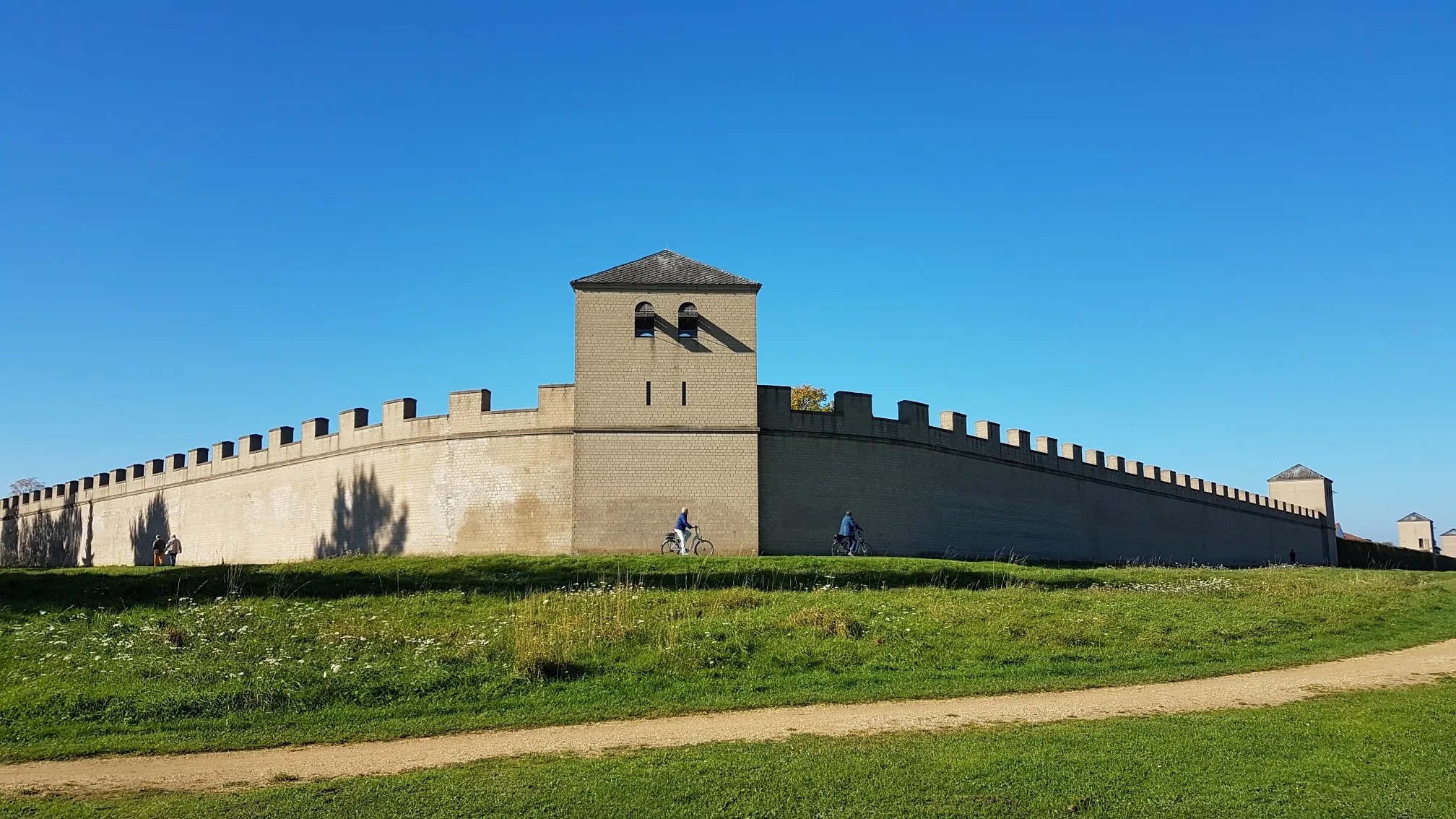
ウォーターとヒストリー – 6 日間のローマー・リッペルート
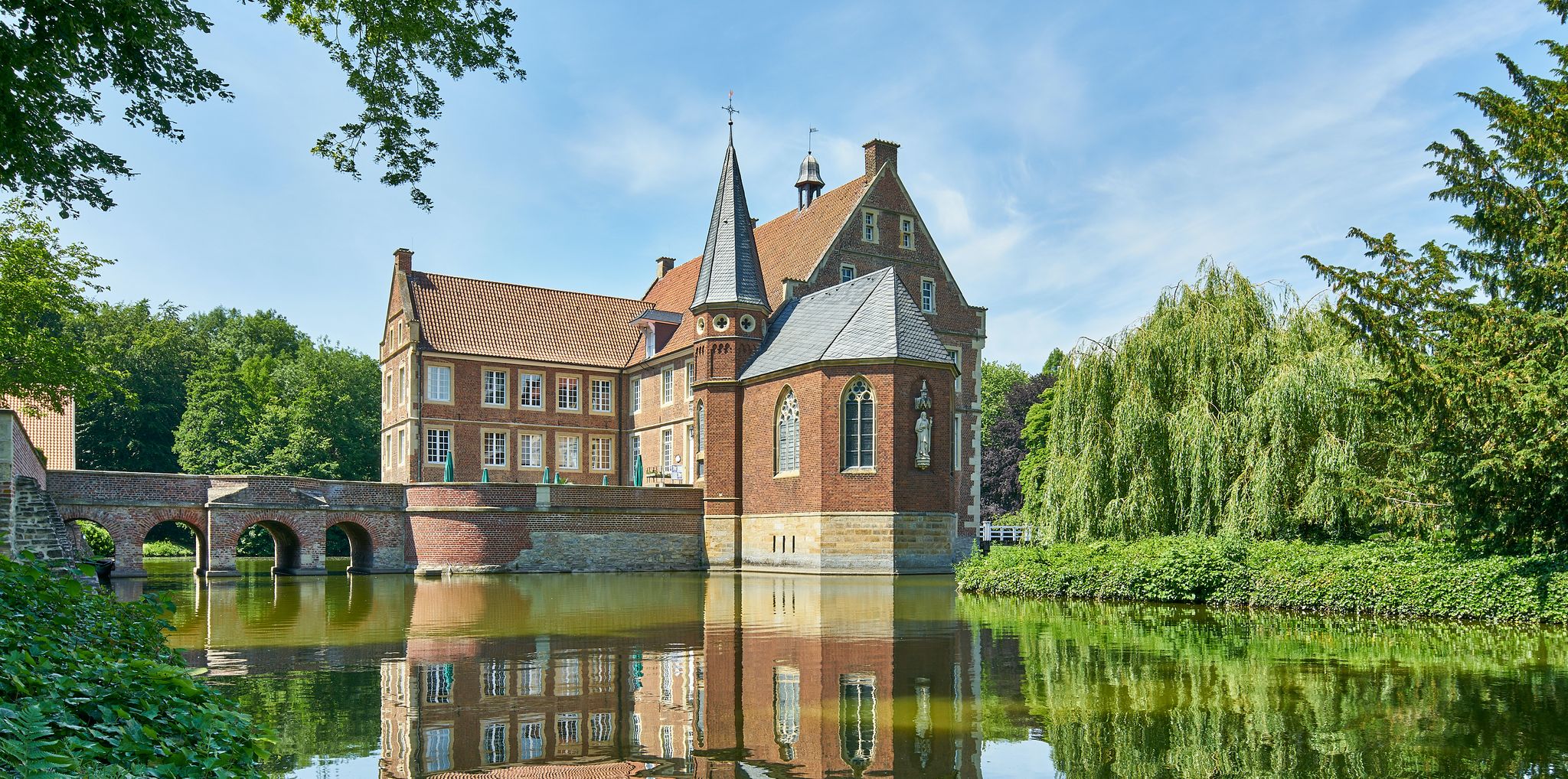
自転車でミュンスターラントの歴史的な宝物を発見してください – 100城ルート
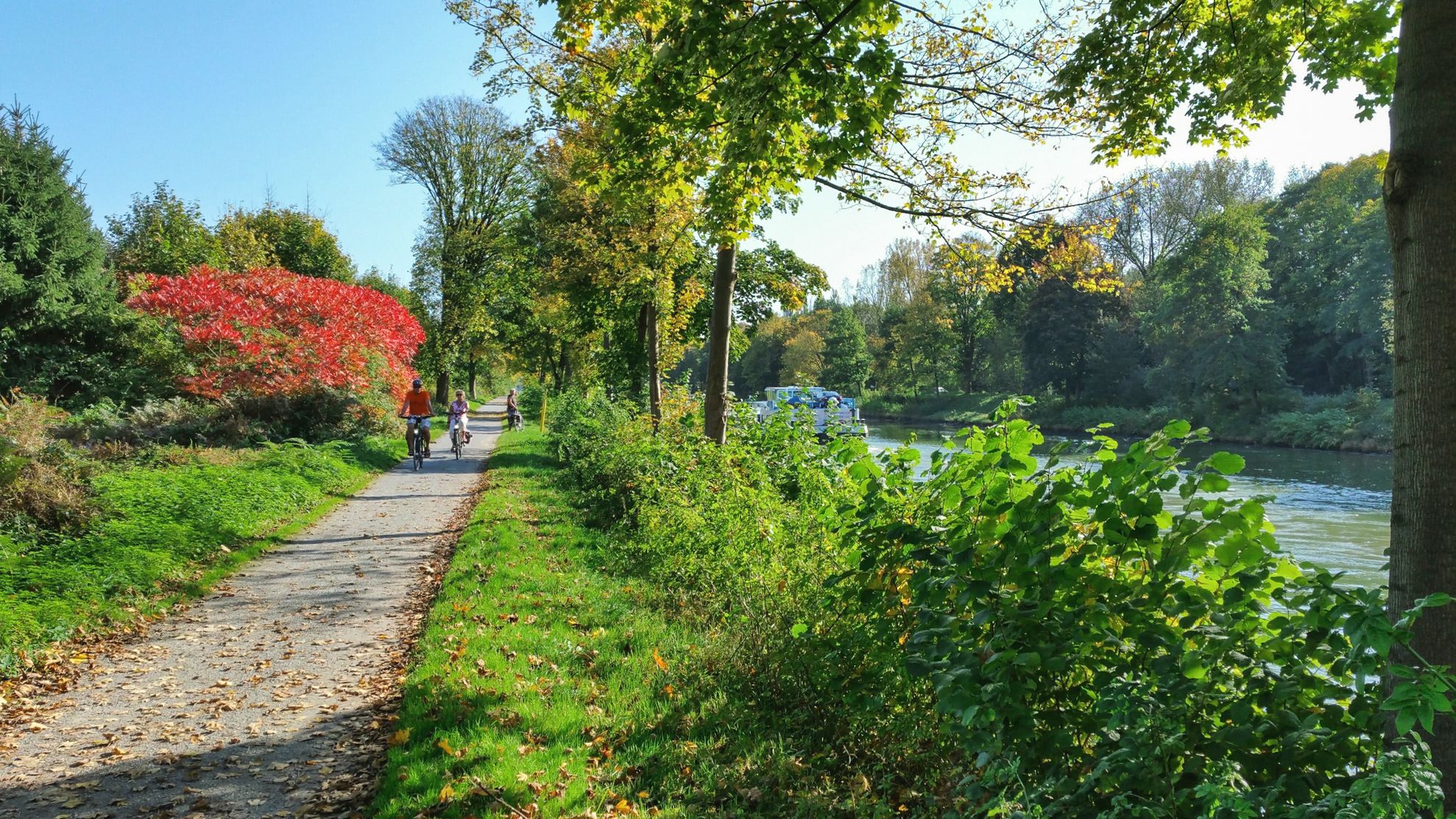
ウォーター&歴史 – ローマー・リッペルートで6日間

Spoil heaps, heathland, autumn trails – hiking in Recklinghausen

Discover NRW on a gravel bike
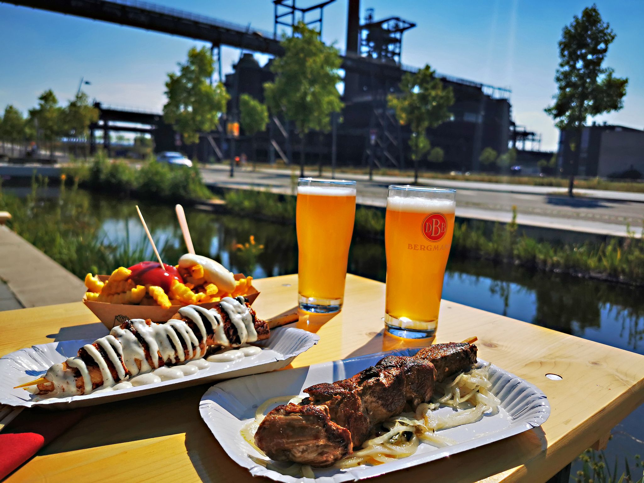
Long live the break – bike tours with beer gardens & culinary delights
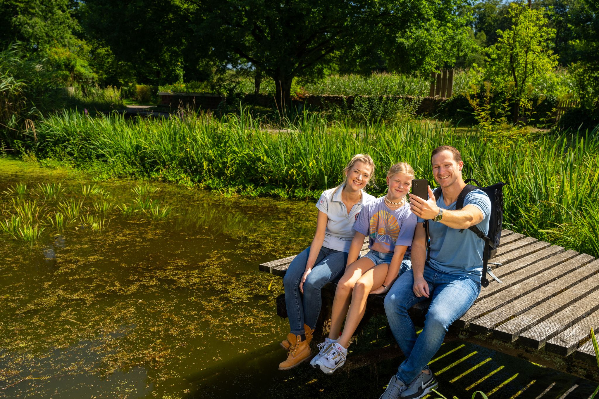
Hiking and discoveries – family walks in the Hohe Mark Nature Park
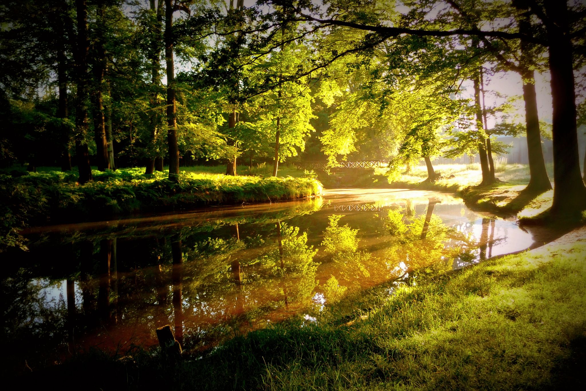
Forests, water & wildlife – cycling Tours in the Hohe Mark Nature Park
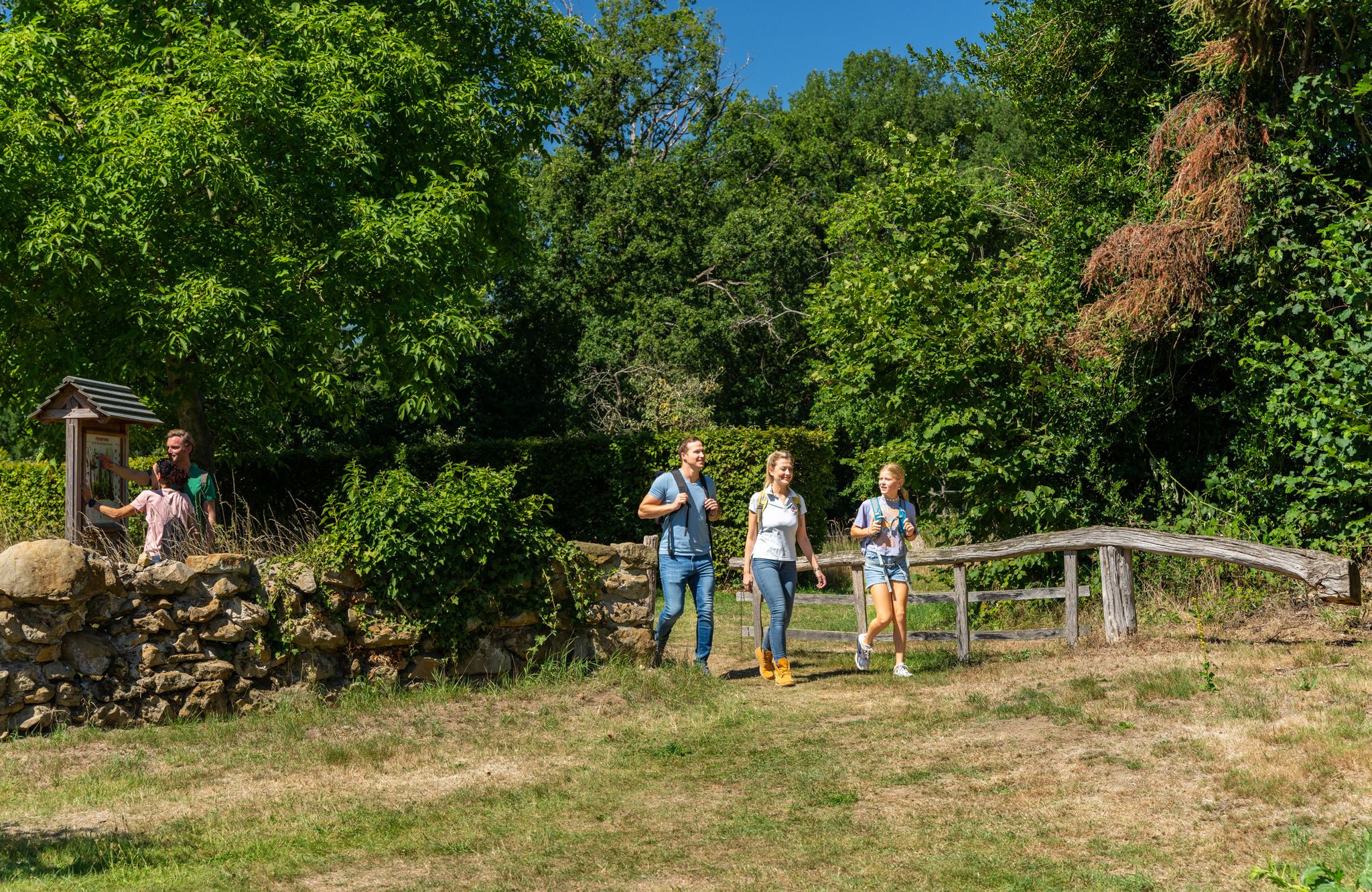
LandStreifer – circular hiking trails to Germany’s Hohe Mark Steig
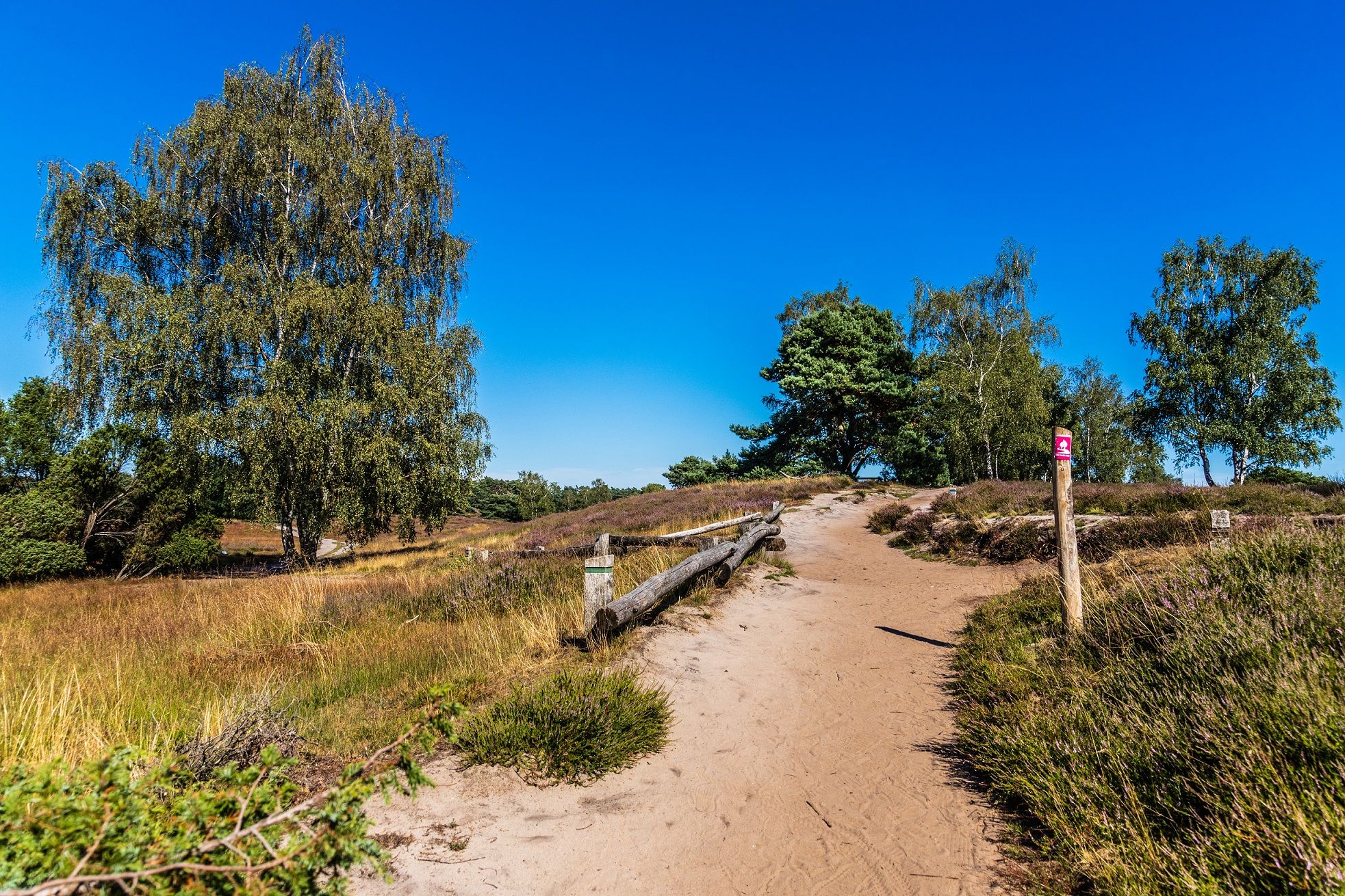
あなたの自然とのきずな — ドイツのHohe Mark Steig
ハルターン・アム・ゼーでのの他の冒険


コミュニティからのヒント

Beautiful hiking trails of different lengths 🥾
11
1

The well-developed network of paths has various themed routes and leaves plenty of space for exploring on the marked paths. Of course, there are also enough benches for long breaks. Interesting knowledge about the creation of the heath landscape is conveyed to visitors on information boards.
25
0
While large areas of the region were still covered with heathland at the beginning of the 19th century, today the Westruper Heide is a remnant of that time. The approximately 90-hectare heath is in the immediate vicinity of the Haltern reservoir.
21
0

The Hullern reservoir is the Stever dammed for drinking water production. This lake only has a "sandy beach" during long periods of drought, like here in August 2022. The SteverLandRoute runs along the banks of the Hullern and Halterner reservoirs and offers beautiful views of the lake from the cycle path, which is otherwise inaccessible. The fourth stage of the Steverland route always leads along the shore of the lake. The SteverlandRoute is the family bike path in Münsterland. Take a look at our collection! :)
11
0

Through the heath in bloom,... terrific 🤩!!!
9
0

With its important past as a Roman base around the birth of Christ, Haltern am See has had town rights since 1289 and is a historical, up-and-coming medium-sized town, located at the northernmost point of the Lippe, embedded in the Hohe Mark, Haard and Borkenberge forest areas. The current urban area of Haltern am See was created as part of the municipal territorial reform in North Rhine-Westphalia in 1975. At that time, the town and the Haltern district, consisting of the communities Kirchspiel-Haltern (Holtwick, Lavesum and Sythen), Hullern and Lippramsdorf, were merged and expanded south of the Lippe to include the communities of Flaesheim (formerly part of the Datteln district) and Hamm-Bossendorf (parts of the Hamm community formerly part of the Marl district). The allocation of districts south of the Lippe to Haltern meant crossing a centuries-old border. A border that was the reason and prerequisite for the granting of town rights to Haltern by the sovereign and Prince-Bishop of Münster, Everhard von Diest, in the 13th century. Since 1908, Haltern am See has had a pumping station to pump drinking water for the northern Ruhr area. Water extraction has been steadily expanded; it helped the city to earn its decorative name "Haltern am See" and reached its provisional end point with the completion of the Hullerner Lake in 1985. A side effect of the area-intensive water management is the increased recreational value of the Haltern landscape, which, free of industry, has become even more attractive to visitors and locals thanks to the creation of the lakes. Today, the Haltern lakes with their boathouses, sailing harbor and seaside resort are the destination of many people seeking relaxation. But Haltern am See has more to offer visitors than just the lake. The attractive and varied landscape is often referred to as the lungs of the Ruhr area. The city is the heart of the Hohe Mark Nature Park. The extensive forests of the Haard and the Hohe Mark, as well as the Westruper Heide, Holtwicker Heide and Sebbelheide nature reserves, are accessible via a dense network of hiking, cycling, horse riding and walking trails. The pedestrian zones of the old town and the modern town centers of Sythen, Flaesheim, Lippramsdorf, Hullern and Lavesum are popular shopping and meeting places for residents and visitors alike.
13
2

The Old Ride is a disused section of the Dortmund-Ems Canal. The 8 1/2 km long section extends from the Datteln canal junction to behind Olfen. A beautiful footpath and cycle path leads directly along the water.
11
0

Beautiful section of the route in the direction of Olfen. You should definitely drive down along the water (not up on the road) to really enjoy it.
10
0
ハルターン・アム・ゼーでのの人気ルート
ハルターン・アム・ゼーでのの人気観光スポット

komootモバイルアプリでインスピレーションを得よう


さらに探索
これらのガイドで、最高の洞窟を探す範囲を広げましょうハルターン・アム・ゼーでの:
