エーギング・アム・シーのおすすめツーリングルート
4.4
(275)
1,204
ライダー
66
ライド
エーギング・アム・シー周辺でのおすすめのサイクリングルートを参考にして、このエリアを最大限に楽しみましょう。ここでご紹介するのは、エーギング・アム・シー周辺の人気バイクライドです。ぜひ、自分に合ったルートを見つけてください。
最終更新日: 10月 27, 2026
4.7
(29)
112
ライダー
22.2km
01:25
260m
260m
中程度の自転車ライド. ある程度のフィットネスレベルが必要です。 ほとんどが舗装路です。
4.8
(38)
151
ライダー
19.9km
01:11
140m
140m
初級者向けバイクライド. ほとんどが舗装路です。

4.6
(14)
48
ライダー
25.4km
01:33
210m
210m
中程度の自転車ライド. ある程度のフィットネスレベルが必要です。 ほとんどが舗装路です。
4.4
(12)
27
ライダー
34.2km
02:22
430m
430m
中程度の自転車ライド. ある程度のフィットネスレベルが必要です。 ほとんどが舗装路です。
4.7
(3)
9
ライダー
21.7km
01:41
390m
390m
中程度の自転車ライド. ある程度のフィットネスレベルが必要です。 ほとんどが舗装路です。
さらに多くのルートや他のユーザーのおすすめ情報を確認できます。
すでにアカウントをお持ちですか?
おすすめのツアーは他のkomootユーザーが実際に経験した何千ものアクティビティに基づいています。
無料アカウントで今日から始めよう
次の冒険が待っています。


コミュニティからのヒント

カトリック聖エギディウス教区教会は、Eging am Seeの中心部にある歴史的な教会です。
0
0


The market town is located in the Three Castles Region at the edge of the southern Bavarian Forest.
0
0

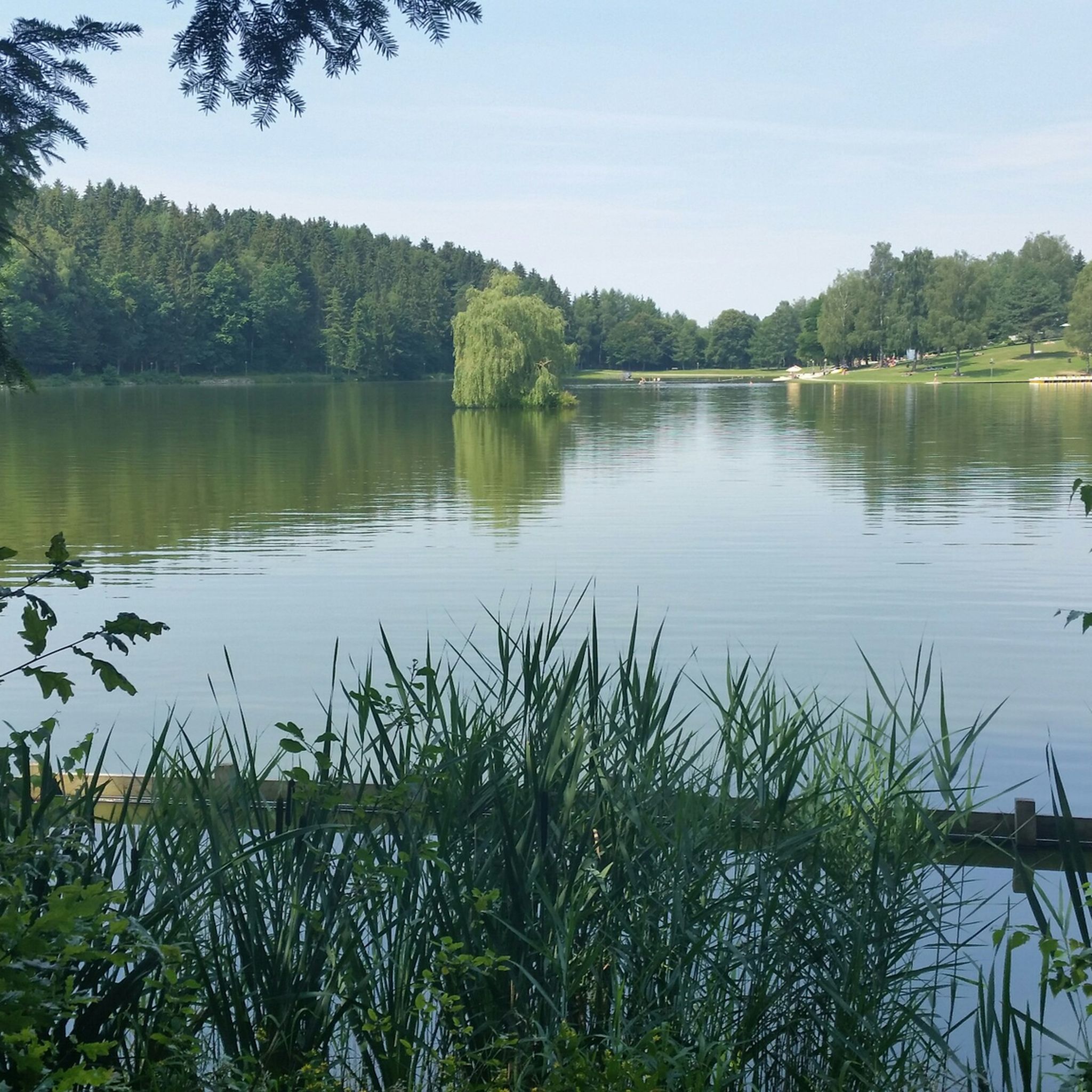
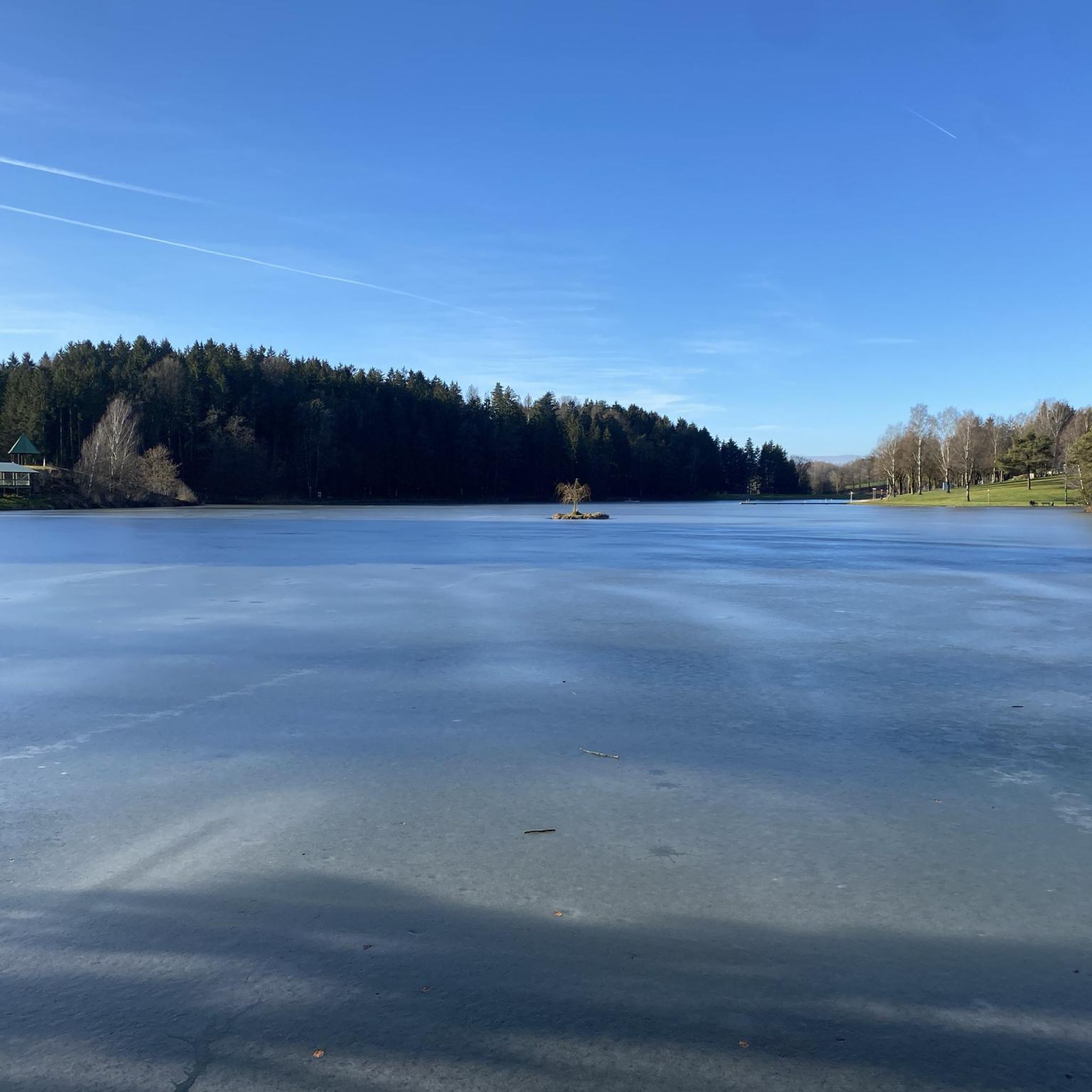
The Dreiburgensee, formerly known as the Rothauer See, lies between the climatic health resort of Thurmansbang and Tittling in the Bavarian Forest. It was named after the surrounding Ilz Valley and Dreiburgenland, including Saldenburg Castle, Englburg Castle, and Fürstenstein Castle. The lake was first documented in 1703. It had been created shortly before as a fish farm by Lieutenant Field Marshal Max Josef Graf von Tauffkirchen zu Guttenburg. The dammed lake, with a length of 700 m and a maximum width of 200 m, has a surface area of 8 hectares and a maximum depth of 7 m. The border between the districts of Passau and Freyung-Grafenau runs across the lake. A roughly 2 km circular path along the lake's shore invites you to take leisurely strolls. In summer, the Dreiburgensee is a popular bathing spot with restaurants, hotels, and sunbathing lawns. In winter, you can ice skate and play curling on the frozen lake. Beavers have also been living at the lake for several years. By building a large dam at the lake's inlet, they have created a biotope of approximately 6 hectares, where rare bird species such as the black stork and the great egret can be seen. The Bavarian Forest Museum Village, one of the largest open-air museums in Europe, is located directly on the lake. https://www.bayerischer-wald.de/attraktion/dreiburgensee-1edb7f4942
3
0

In the middle of the idyllic landscape, gigantic concrete pillars rise to great heights (up to 99 meters) to support the highway. Impressive! It's worth taking a few minutes to admire the structure, which was built in 1978.
0
0

When you stand under it you feel queasy
1
0
エーギング・アム・シーでのの人気観光スポット

komootモバイルアプリでインスピレーションを得よう


さらに探索
他の地域の最高のサイクリングルートを見てみましょう。
