バートベルトリッヒ周辺のアトラクション&必見スポット - トップ20
バートベルトリッヒには必見のスポットがたくさんあります。ハイキング愛好家やサイクリング愛好家の方は、ぜひバートベルトリッヒを探索してこのエリアにある20
の隠れたスポットを訪れてみてください。このエリアの必見スポットを確認し、次の冒険に出かける計画を立てましょう。
最終更新日: 10月 9, 2026
カルモント・ヴィア・フェラータ
ハイライト (セグメント) • 登山
翻訳者 Google •
役立つ情報 は

カールモント山頂の十字架から眺めるモーゼル川の蛇行
ハイライト • 展望台
翻訳者 Google •
役立つ情報 は

今すぐサインアップして、こんな場所を発見しよう
最高のシングルトラック、ピーク、その他のエキサイティングなアウトドアスポットのおすすめを受け取ろう。
カールモントのブドウ畑とヴィア・フェラータ
ハイライト • 登山
翻訳者 Google •
役立つ情報 は

カールモント山頂下に広がるモーゼル川の蛇行のパノラマビュー
ハイライト • 展望台
翻訳者 Google •
役立つ情報 は

カルモント・ホーエンヴェーク
ハイライト • トレイル
翻訳者 Google •
役立つ情報 は

無料でサインアップして、さらに多くの観光スポットを発見しましょう バートベルトリッヒでの。
すでにアカウントをお持ちですか?
無料アカウントで今日から始めよう
次の冒険が待っています。
バートベルトリッヒ周辺で人気
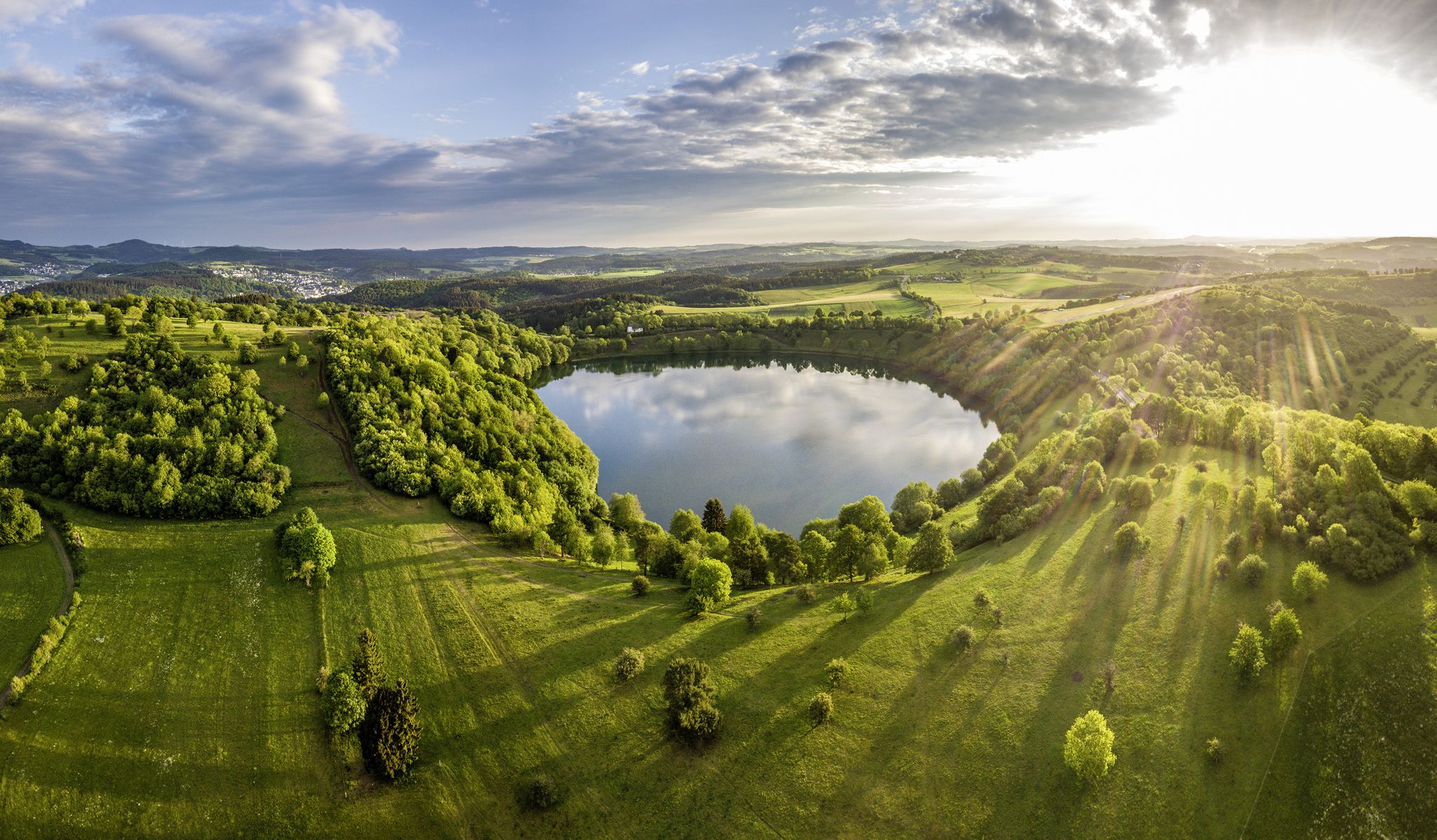
Germany’s Most Beautiful Hiking Trails in the Vulkaneifel

Excellent paths in the Vulkaneifel – Explore the HeimatSpuren
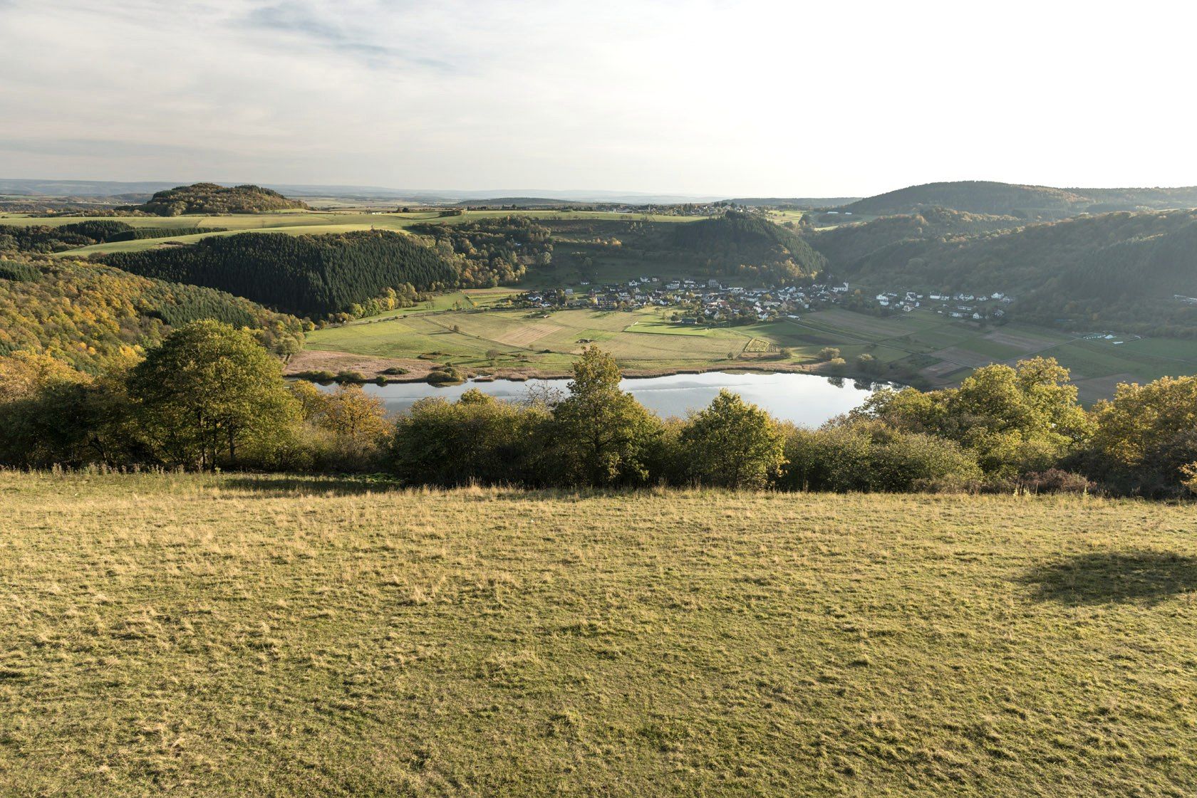
グースラティトラードの水果とライバールの強加がるないりません - ドイイリアイルダウンスの長小の出地
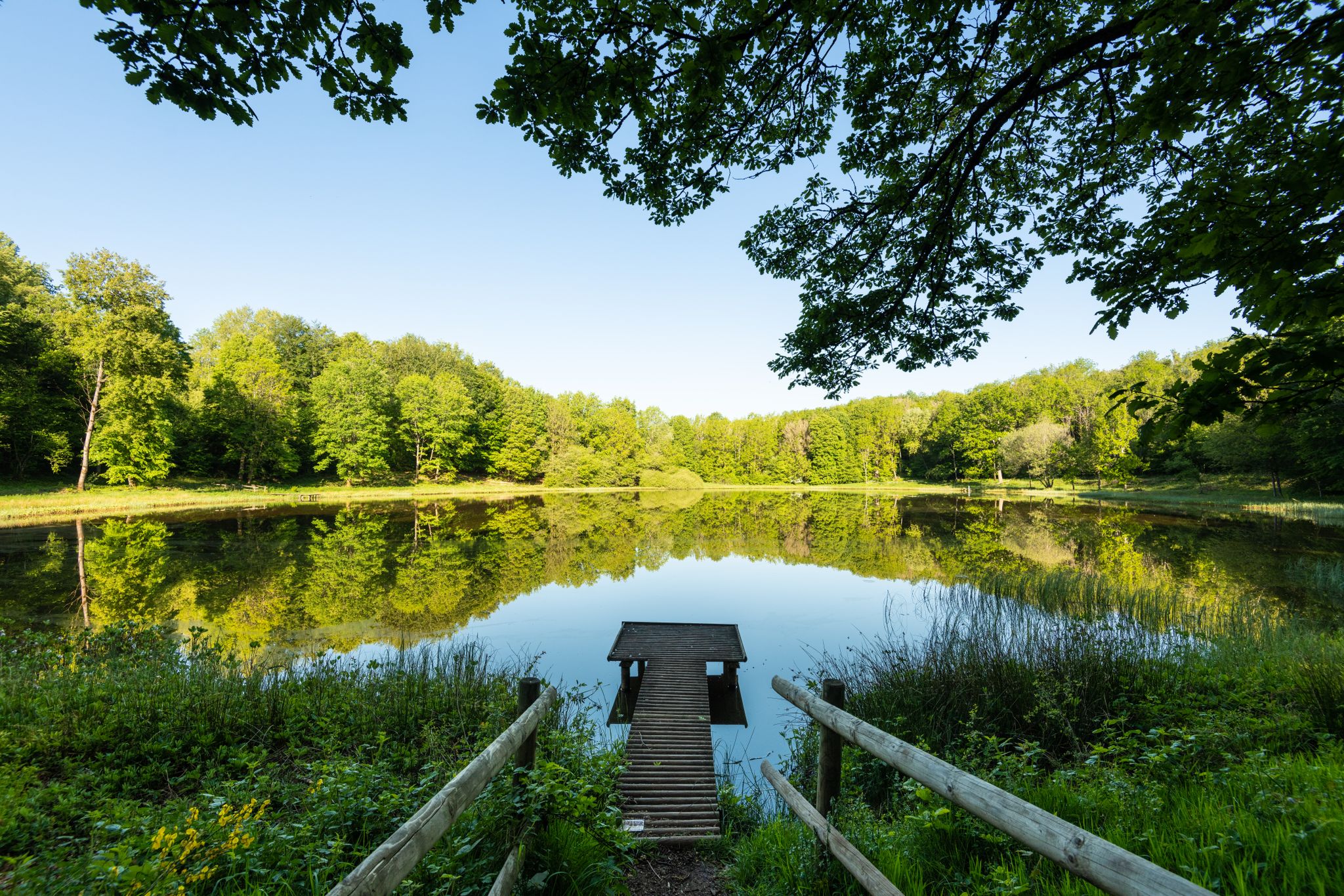
Award-winning hikes – explore the Volcanic Eifel on acclaimed trails
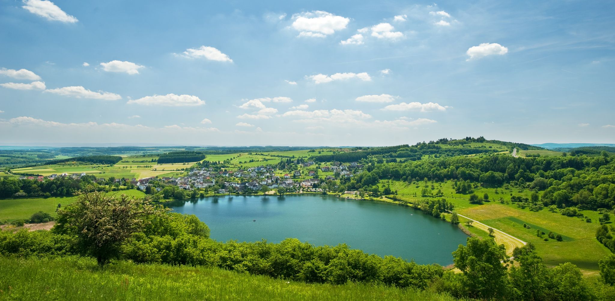
Lava pits & fairytale lakes – hiking through Vulkaneifel in Germany
バートベルトリッヒでのハイキング
バートベルトリッヒのMTBトレイル
バートベルトリッヒでのサイクリング
バートベルトリッヒのロードバイクルート
バートベルトリッヒのランニングコース


コミュニティからのヒント

🥾🥾⛰️The Calmont is a steep vineyard with a 65 degree incline↗️ & a height of 378 meters↕️. The Calmont via ferrata🥾🥾🪜 leads through the vineyard, impassable rocky sections are overcome with climbing aids. The hike on the Calmont high trail with the Calmont summit cross and “Vierseenblick” offers fantastic views🎨🖌. Difficult passages are equipped with rock steps, rope safety devices, steel ladders, iron brackets and footholds. 🧭The Calmont region is located on the Terraced Moselle, just under 20 kilometers from Cochem. Thanks to the German Alpine Association and many volunteers from the surrounding communities of Bremm, Ediger-Eller and Neef. Because they all made sure that the mountain was accessible in the first place🥾🥾🎒.
8
0

The Calmont is an almost 400 meter high steep vineyard with a 65 degree incline, the slope of which has a vertical wave shape with hollows due to erosion. The Calmont via ferrata leads up and down through the vineyard over narrow, partly rooty and numerous rocky passages. Difficult passages are equipped with rock steps, rope safety devices, 6 steel ladders, 22 iron brackets and 16 stepping pins.
12
1

From this vantage point you have one of the best valley views of the Moselle loop.
76
0
The Calmont is a prominent peak on the Moselle. The highest elevation is 380 meters high. Interestingly, the Calmont summit cross is not at the highest point, but below it. This may be because the Calmont is a ridge above the Moselle. The location of the summit cross offers a prominent view of the Moselle - better than from the highest point. Therefore, the summit cross makes much more sense at this point. Source: https://www.calmont-klettersteig-moselschleife.de/calmont/
78
0
The Calmont via ferrata is more of a mountain trail than a via ferrata. Passages of the "via ferrata" are made safer with handrails, ladders, step bars and stepping pins. However, hikers who are not sure-footed also have the option of bypassing the short section of the "via ferrata".
73
10

You don't need any special climbing equipment. Good hiking shoes are sufficient.
14
2

It is particularly beautiful in October when the leaves change color. Shortly after 10 a.m. we walked from Eidiger-Eller, first over the Todesangst and the Höhenweg, so we were above the Moselle loop at the right time. There is a rest area with a bench, from where we could watch how the fog revealed the colorful landscape.
13
0

Beautiful hiking tour with a view of the Moselle loop. 😍
13
0
バートベルトリッヒでのの人気観光スポット

komootモバイルアプリでインスピレーションを得よう


さらに探索
まだ探しているハイライトが見つかりませんか?他の地域のトップアトラクションのガイドを見てみましょう:
