シュトゥーバイアルプスの絶景の山頂・トップ20
絶景を目指して登るのであれ、達成感のために登るのであれ、山頂を訪れることで、シュトゥーバイアルプスの美しい自然をもっと満喫することができます。20
もの選択肢の中から、制覇する山頂を決めるのは簡単ではありません。スムーズに次の冒険で目指す山頂を選べるように、シュトゥーバイアルプスの素晴らしい山頂をこのガイドにまとめました。
最終更新日: 9月 12, 2026
ヴェッタークロイツコーゲル山頂
ハイライト • 山頂
翻訳者 Google •
役立つ情報 は

インスブルッカー・ヒュッテ
ハイライト • 山小屋
翻訳者 Google •
役立つ情報 は

今すぐサインアップして、こんな場所を発見しよう
最高のシングルトラック、ピーク、その他のエキサイティングなアウトドアスポットのおすすめを受け取ろう。
セーレス山頂
ハイライト • 山頂
翻訳者 Google •
役立つ情報 は

Dortmunder Hütte
ハイライト • 山小屋
翻訳者 Google •
役立つ情報 は

ズルツコーゲル山頂
ハイライト • 山頂
翻訳者 Google •
役立つ情報 は

ベッヒャーハウス(リフージョ・ジーノ・ビアージ)
ハイライト • 山小屋
翻訳者 Google •
役立つ情報 は

ヴィルダー・フライガーの頂上
ハイライト • 山頂
翻訳者 Google •
役立つ情報 は

ツィシュゲレス山頂
ハイライト • 山頂
翻訳者 Google •
役立つ情報 は

ミュラー小屋(3145m)
ハイライト • 山小屋
翻訳者 Google •
役立つ情報 は
エルファー山のケーブルカー山頂駅
ハイライト • 休憩所
翻訳者 Google •
役立つ情報 は

無料でサインアップして、さらに多くの山を発見しましょう シュトゥーバイアルプスでの。
すでにアカウントをお持ちですか?
無料アカウントで今日から始めよう
次の冒険が待っています。
シュトゥーバイアルプス周辺で人気
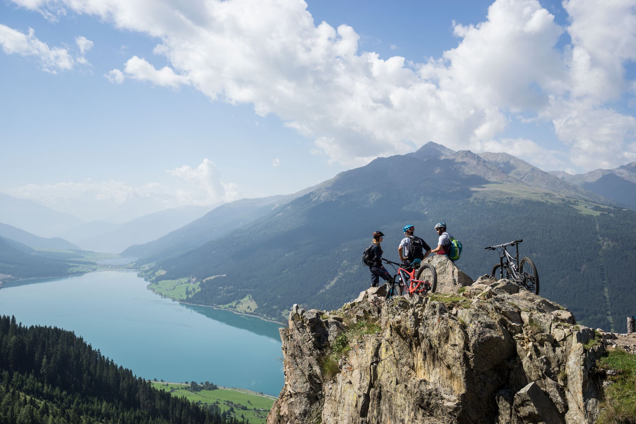
High into the Tyrolean mountain world – mountain biking in Tyrol
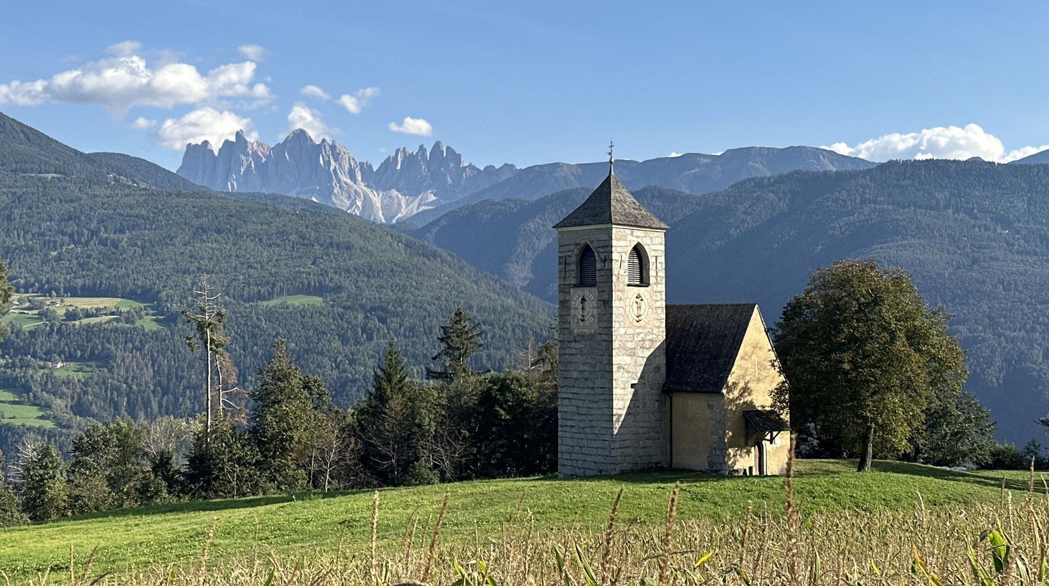
歴史と自然と精神性 - ビア・ロメア・ジェルマニカの冒険
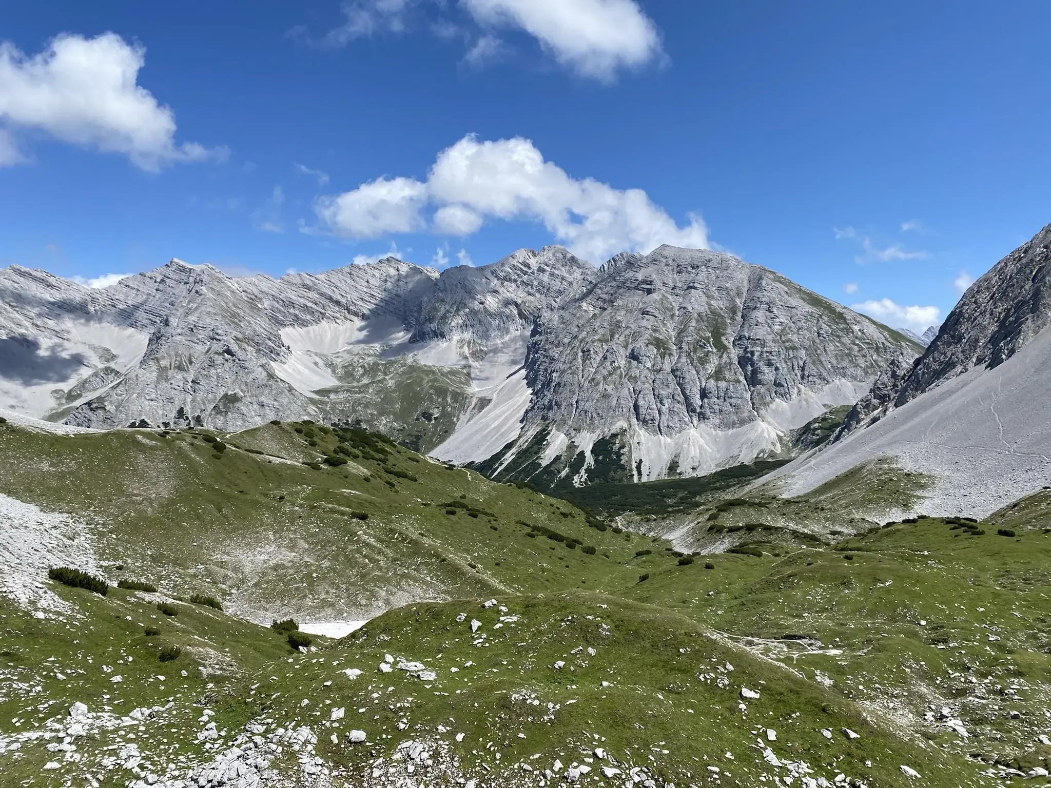
カルヴェンデル交差点 - インスブルックからシルベンシュタインシュパイヘルまで

クラシックアルプスの交差点から遠く - L1 ガルミッシュからブレッシャまで
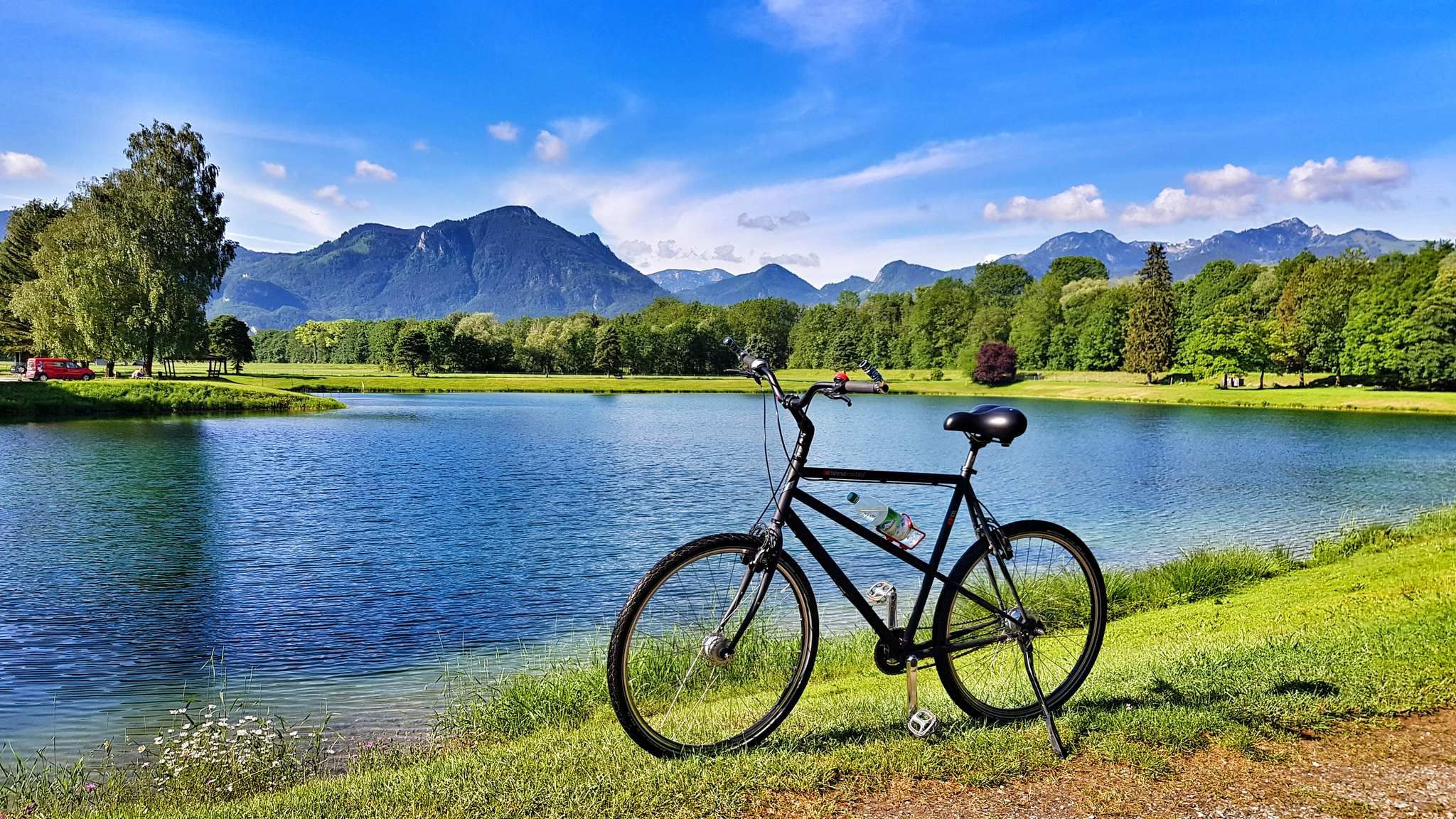
From a babbling brook to a mighty river - the Inn Cycle Path
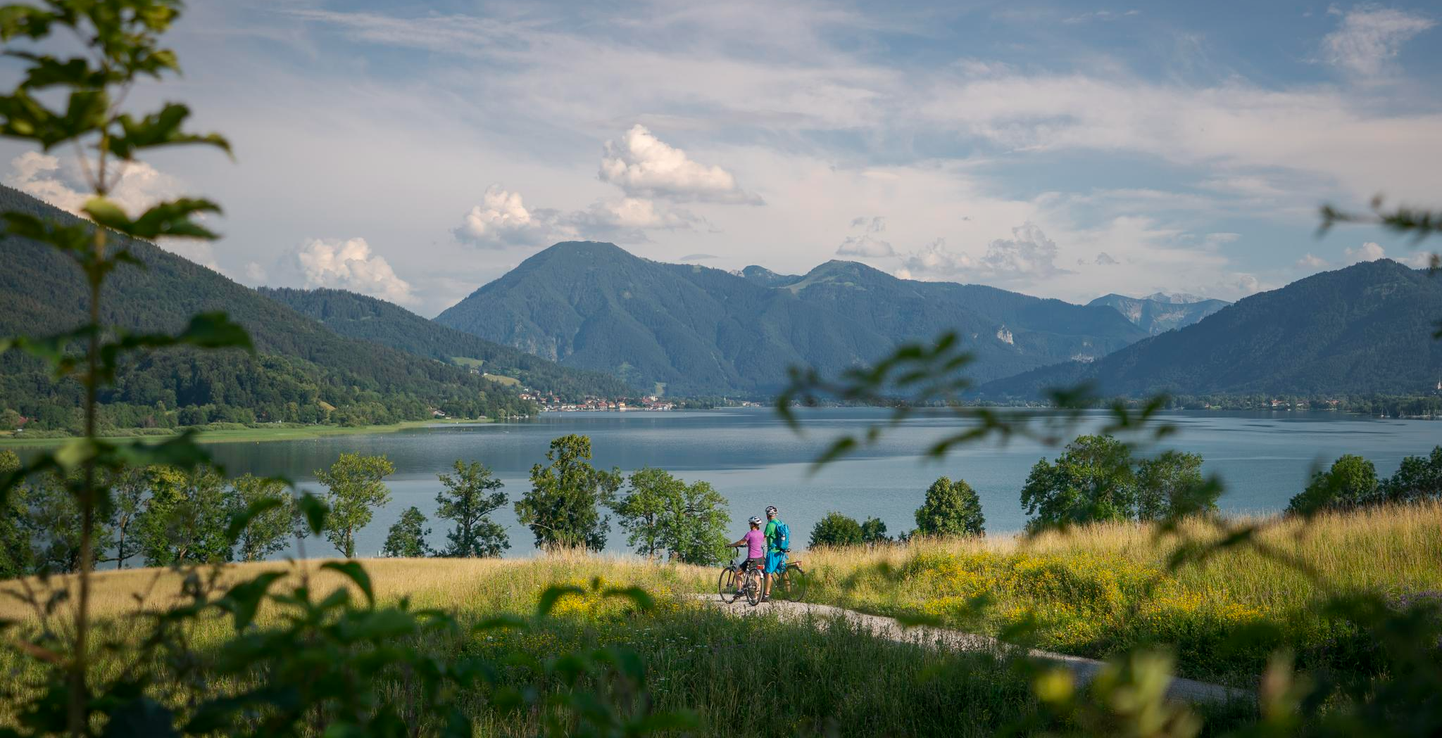
美しいアルプス横断 – ミュンヘン-ヴェネツィア長距離サイクリング・パス
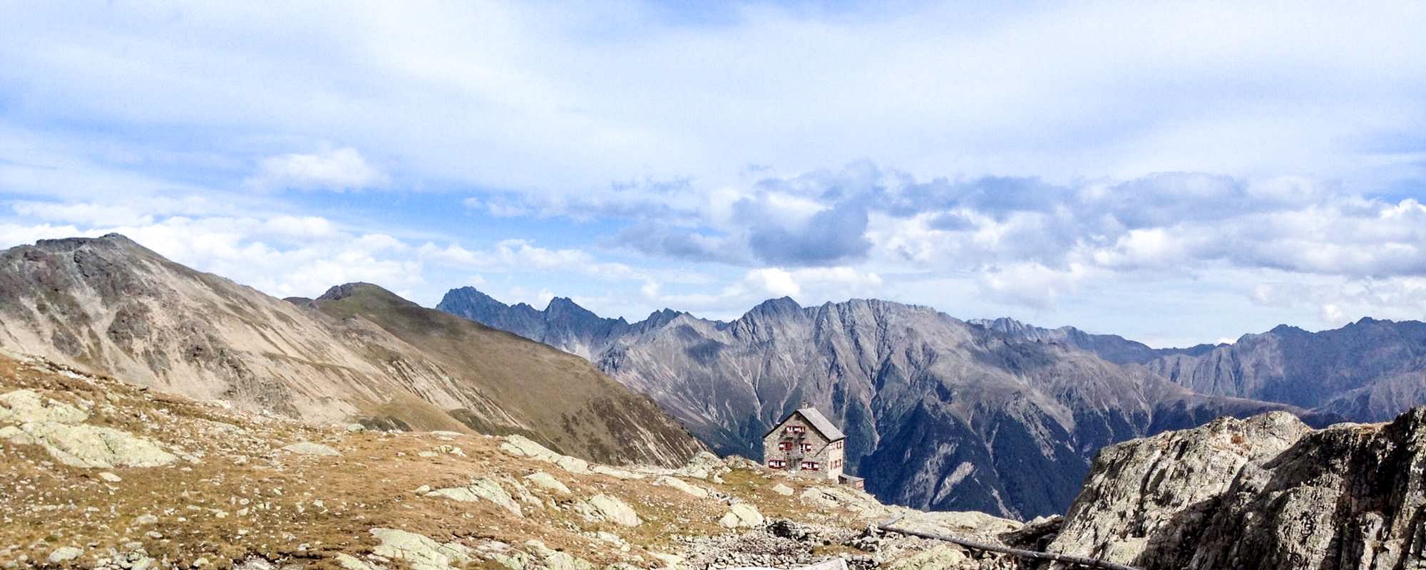
4 romantic huts high above the Ötztal
ALPINE。SOLITARY。BREATHTAKING。The Pfunderer High Route
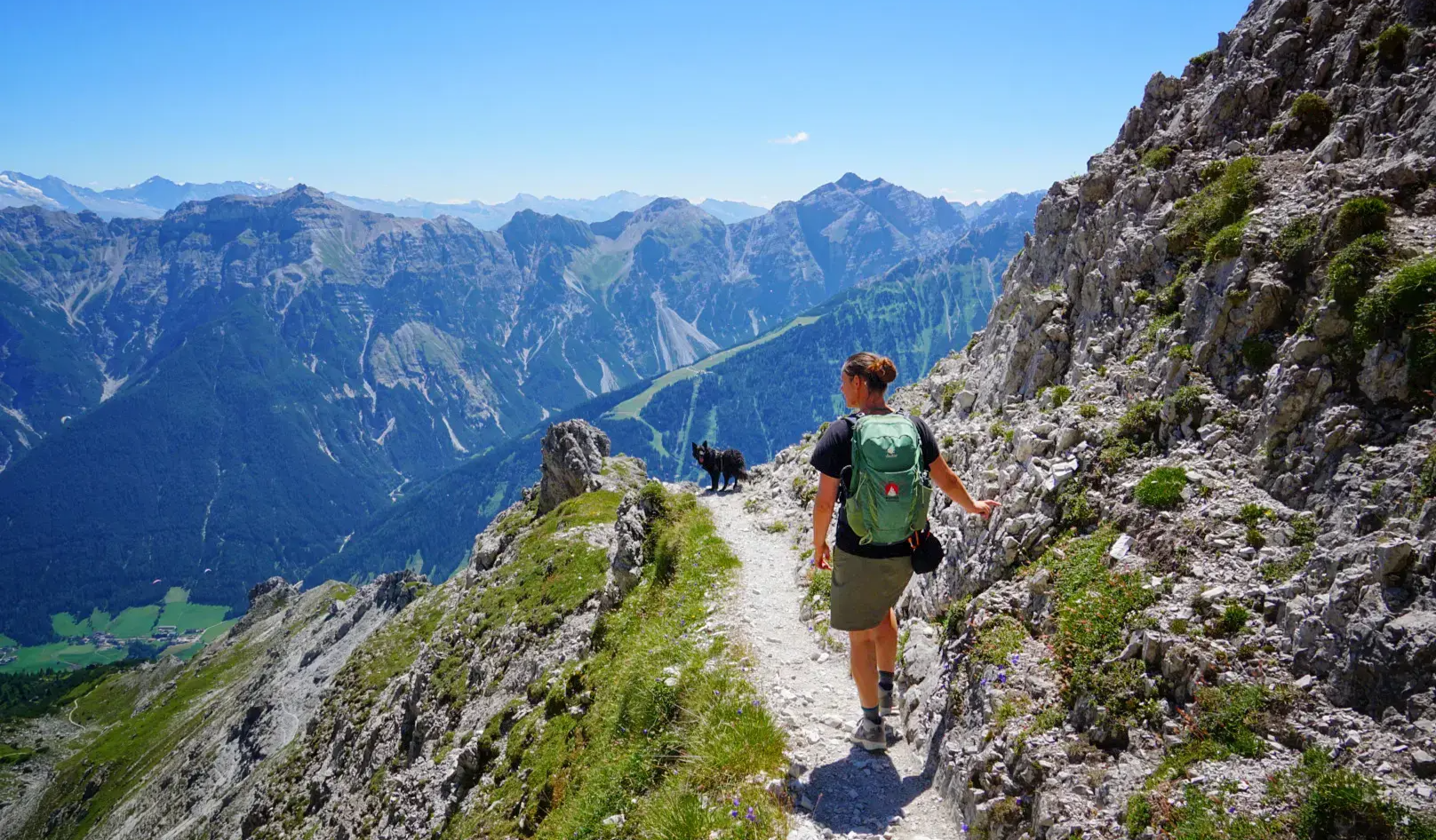
Stubai Valley Hiking Paradise – routes for the perfect break
Idyllic mountain lakes and rushing waterfalls – hiking in the Wipptal
シュトゥーバイアルプスでのの他の冒険


コミュニティからのヒント

ジョシュアからのヒントはすべてを非常によく説明しています。東からの登りは困難ですが、高所恐怖症がなく、足元がしっかりしていれば可能です。Zischgenscharteは現在閉鎖されており、おそらくそのまま閉鎖され、Schöntaljochを通る道は公式な道ではないため、Zischgelesを通るルートは、WestfalenhausとPforzheimer Hütteの間の最も良い道であると思われます。
0
0


If conditions are right, it's not a too difficult hike from the mountain station.
1
0


Beautiful hut, which is easy to reach from the Karalm. Very friendly hosts and the food is excellent! The hut is also the start and finish point of the Stubai High Trail.
1
0

The ascent from Praxmar via Köllenzeiger/Oberstkogel is mainly along narrow but easily accessible mountain paths. Only a few places are narrower on more exposed steep slopes, but it can happen that landslides, earthy/gravelly areas have to be overcome. The ridge path is very wide at the beginning and only becomes more demanding in the last 150m below the summit. This is where the scrambling/easy climbing to the summit begins. The key point is a sloping slab directly on the ridge, which has to be climbed over for 4-5m. Directly below the summit is another slab, but this is secured with a chain and pins. Great panoramic view from the summit and a fairly large summit plateau for a relaxing break. The descent via the Satteljoch/Marlerbachtal begins steeply on gravel before you reach the ridge, which has little difference in altitude. On the ridge you have to climb around/over a few places before you go down over the scree field into the valley. From here on, the terrain is mostly easy. The path often runs along the stream and invites you to stop for a refreshment. The ascent from Praxmar is signposted as 4 hours on both options, but can certainly be done more quickly for experienced hikers. The paths are mostly well marked. Suitable as a first 3000m peak if surefootedness and easy climbing are not a problem.
7
2

Especially in summer, lots of paragliders take off from there, which has led to some exciting moments for both the kids and us parents. Not every takeoff looks like a dream takeoff!
2
0

It takes about 30-45 minutes, depending on your fitness level, to climb up to the Elferhütte. Before or on the way back, the Elfer panoramic restaurant right at the mountain station offers a good selection of hot and cold dishes.
2
0
シュトゥーバイアルプスでのの人気ルート

komootモバイルアプリでインスピレーションを得よう


さらに探索
これらのガイドでさらに素晴らしい頂上を見てみましょうシュトゥーバイアルプスでの:
