エバーシュタルツェルのおすすめツーリングルート
4.8
(29)
227
ライダー
33
ライド
エバーシュタルツェルでおすすめのサイクリングルートをお探しですか?行きたいルートを簡単に決められるように、このページではエバーシュタルツェル周辺の人気バイクライドをご紹介します。 ぜひ、お気に入りのルートを見つけてください。
最終更新日: 10月 18, 2026
5.0
(2)
26
ライダー
34.6km
02:08
270m
270m
中程度の自転車ライド. ある程度のフィットネスレベルが必要です。 ほとんどが舗装路です。
4.5
(4)
20
ライダー
32.3km
02:19
200m
200m
難しい自転車ライド. ある程度のフィットネスレベルが必要です。 ツアーの一部で自転車を押して歩く必要があるかもしれません。

5.0
(2)
20
ライダー
37.5km
02:34
490m
490m
難しい自転車ライド. 標準以上のフィットネスレベルが必要です。 ほとんどが舗装路です。
5.0
(4)
13
ライダー
31.5km
02:01
240m
240m
難しい自転車ライド. ある程度のフィットネスレベルが必要です。 ツアーの一部で自転車を押して歩く必要があるかもしれません。
11
ライダー
22.6km
01:30
190m
190m
中程度の自転車ライド. ある程度のフィットネスレベルが必要です。 ほとんどが舗装路です。
さらに多くのルートや他のユーザーのおすすめ情報を確認できます。
すでにアカウントをお持ちですか?
おすすめのツアーは他のkomootユーザーが実際に経験した何千ものアクティビティに基づいています。
無料アカウントで今日から始めよう
次の冒険が待っています。

コミュニティからのヒント

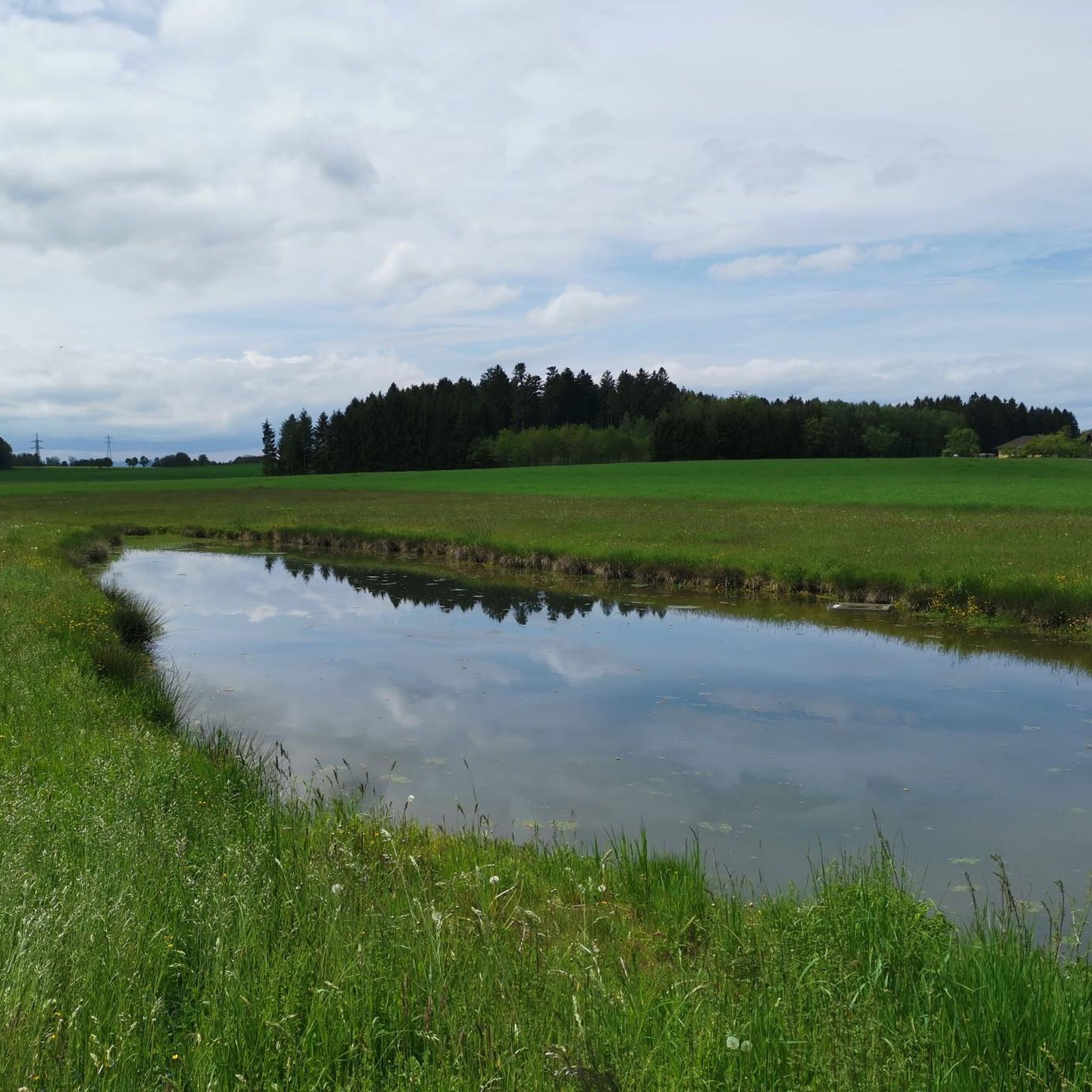
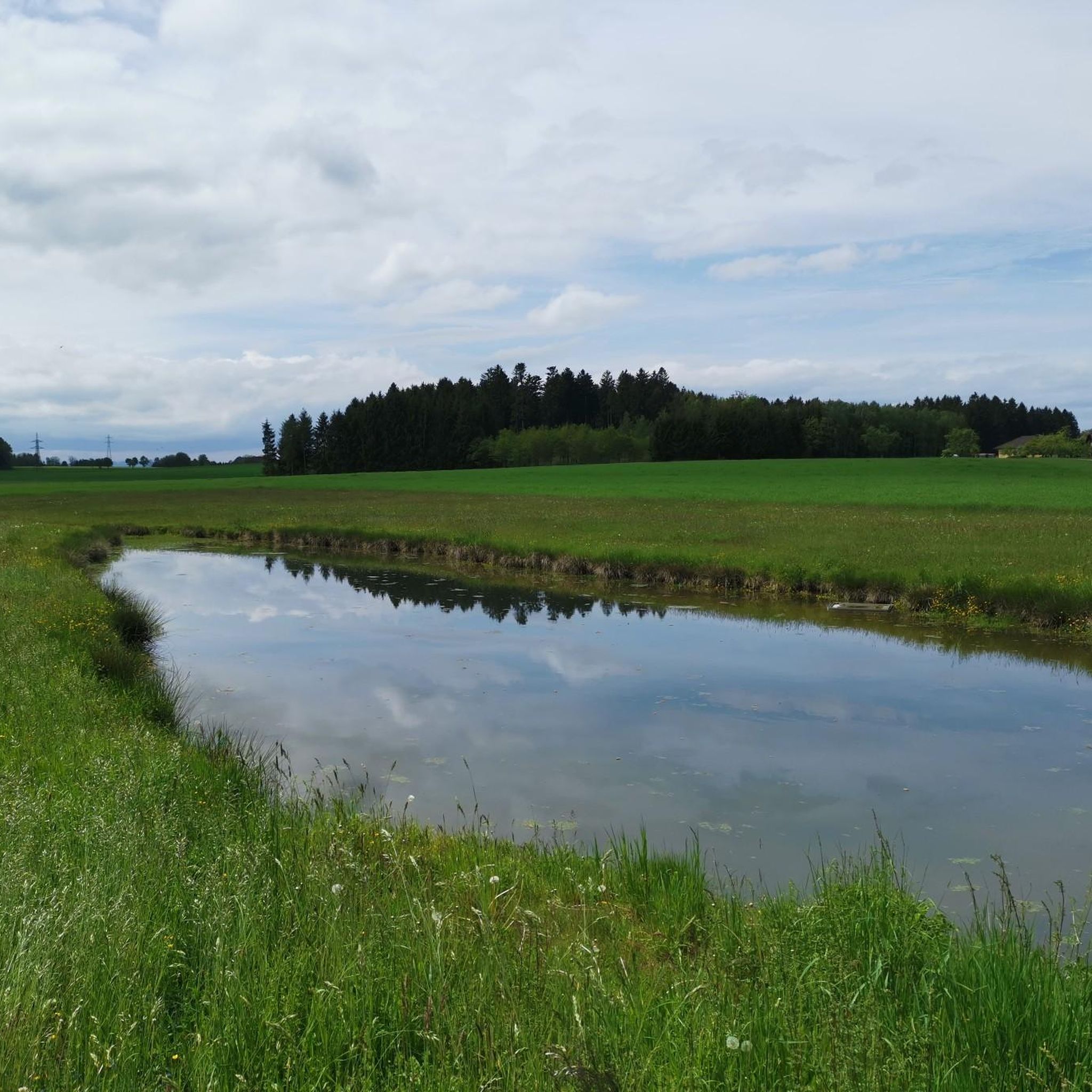
アルム川の河口からアルムシュテークまでのアルム川沿いの区間は、「ゆったり」とした移動手段なら誰にでも最適な素晴らしい道です。徒歩でもペダルを踏む場合でも 😀
0
0
水位に関係なく、ここでは2つの川の色の違いがはっきりとわかります。はるかに短い山岳河川であるアルム川は、通常、2つの大きな湖をすでに通過したトラウン川よりもはるかに澄んでおり、したがって明るいです。
0
0
水位に関係なく、ここでは2つの川の異なる色合いがはっきりとわかります。アルム川ははるかに短い山岳河川であり、通常はトラウン川よりもはるかに澄んでおり、したがって明るいです。トラウン川はすでに2つの大きな湖を通過しています。
0
0


シュタイネルキッチンにある風から保護された休憩所
0
0

The **Steinerkirchen an der Traun Parish Church** is an important religious building in the municipality of **Steinerkirchen an der Traun**, located in the **Wels-Land** district of **Upper Austria**. Here are some interesting facts about the church: 1. **History**: - The church is dedicated to the **Roman Catholic Parish** of **Saint Martin** and has a long tradition in the region. 2. **Architecture**: - The parish church is a **listed monument** and is distinguished by its architectural features, which reflect the history and style of the region. 3. **Parish Life**: - The parish is led by **Mag. P. Alois Mühlbachler**, who supports the parish in spiritual and organizational matters. 4. **Activities**: - The parish regularly hosts **worship services**, **events**, and **community activities** that promote the social life of the community. 5. **Contact Information**: - The parish church is a central location for the faithful and provides information on events and activities of importance to the community. The parish church of Steinerkirchen an der Traun is therefore an important part of the cultural and spiritual life of the region.
0
1

beautiful church invites for a short visit
0
1

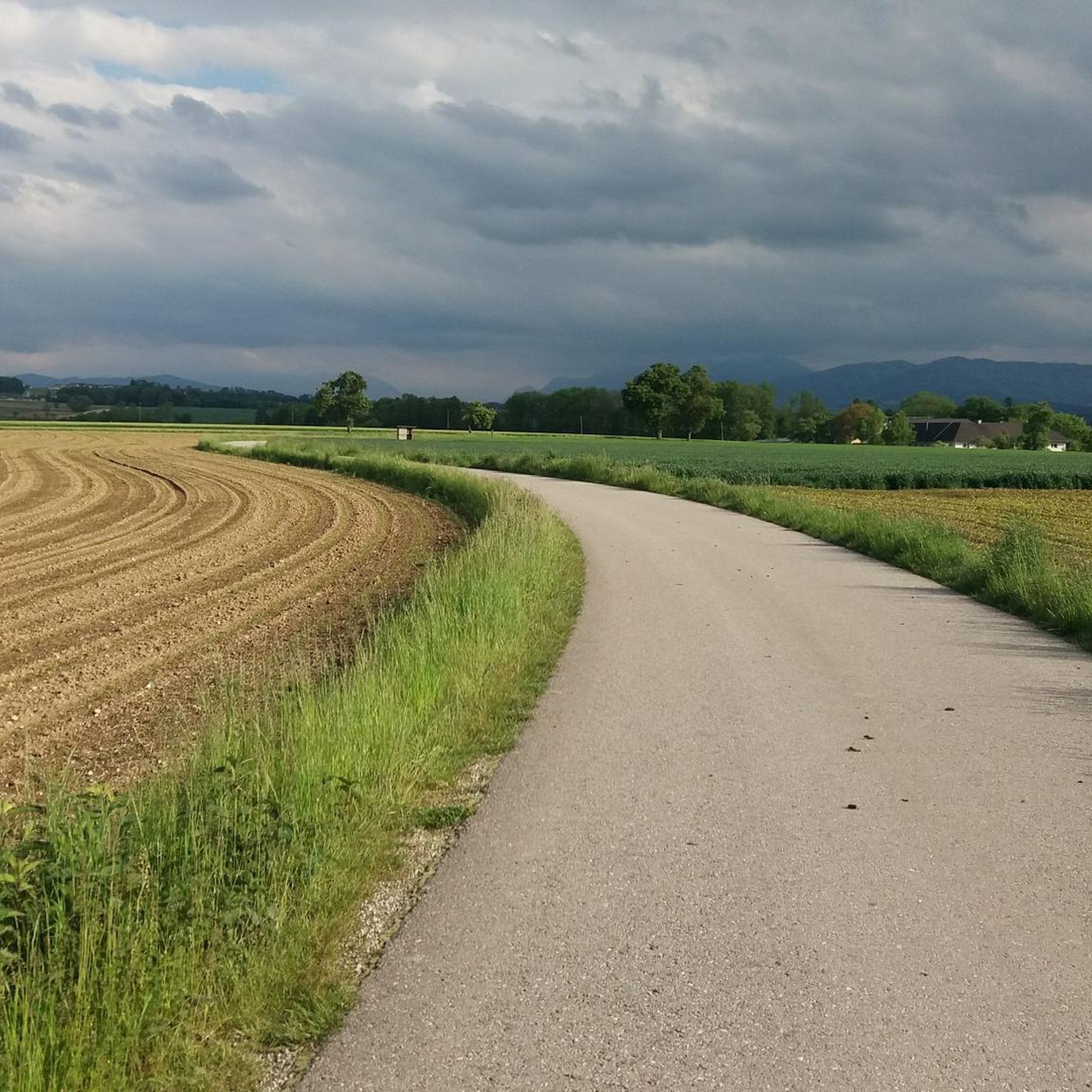
The route is shorter but very steep. Furthermore, the paved road ends after 300 meters, and the forest path is challenging even with an e-bike. I recommend not turning right and riding the curve.
0
0
エバーシュタルツェルでのの人気観光スポット

komootモバイルアプリでインスピレーションを得よう


さらに探索
他の地域の最高のサイクリングルートを見てみましょう。
