コルシカ島の湖・トップ20
次の冒険でコルシカ島の素晴らしい湖を訪れてみませんか?湖畔の穏やかな雰囲気や、天気が良い日のひと泳ぎは格別です。komootコミュニティがおすすめするコルシカ島の素晴らしい湖の一覧を参考にして、次の冒険では湖をもっと満喫しましょう。
最終更新日: 9月 26, 2026
メロ湖
ハイライト • 湖
翻訳者 Google •
役立つ情報 は

ブカトッジョの滝
ハイライト • 滝
翻訳者 Google •
役立つ情報 は

今すぐサインアップして、こんな場所を発見しよう
最高のシングルトラック、ピーク、その他のエキサイティングなアウトドアスポットのおすすめを受け取ろう。
ニノ湖
ハイライト • 湖
翻訳者 Google •
役立つ情報 は

バスタニ湖
ハイライト • 湖
翻訳者 Google •
役立つ情報 は

クレノ湖
ハイライト • 湖
翻訳者 Google •
役立つ情報 は
ロトゥビーチ
ハイライト • ビーチ
翻訳者 Google •
役立つ情報 は

タマローネ・ビーチ
ハイライト • 湖
翻訳者 Google •
役立つ情報 は

アレザニダム
ハイライト • 記念碑
翻訳者 Google •
役立つ情報 は

レ・ポッツィ・デ・バステリカ
ハイライト • 湖
翻訳者 Google •
役立つ情報 は
モンテ・ロトンド山頂
ハイライト • 山頂
For GR20 hikers hiking north-south, there is an indescribable look back at the last stages, including the …
翻訳者 Google •
役立つ情報 は
無料でサインアップして、さらに多くの湖を発見しましょう コルシカ島での。
すでにアカウントをお持ちですか?
無料アカウントで今日から始めよう
次の冒険が待っています。
コルシカ島周辺で人気
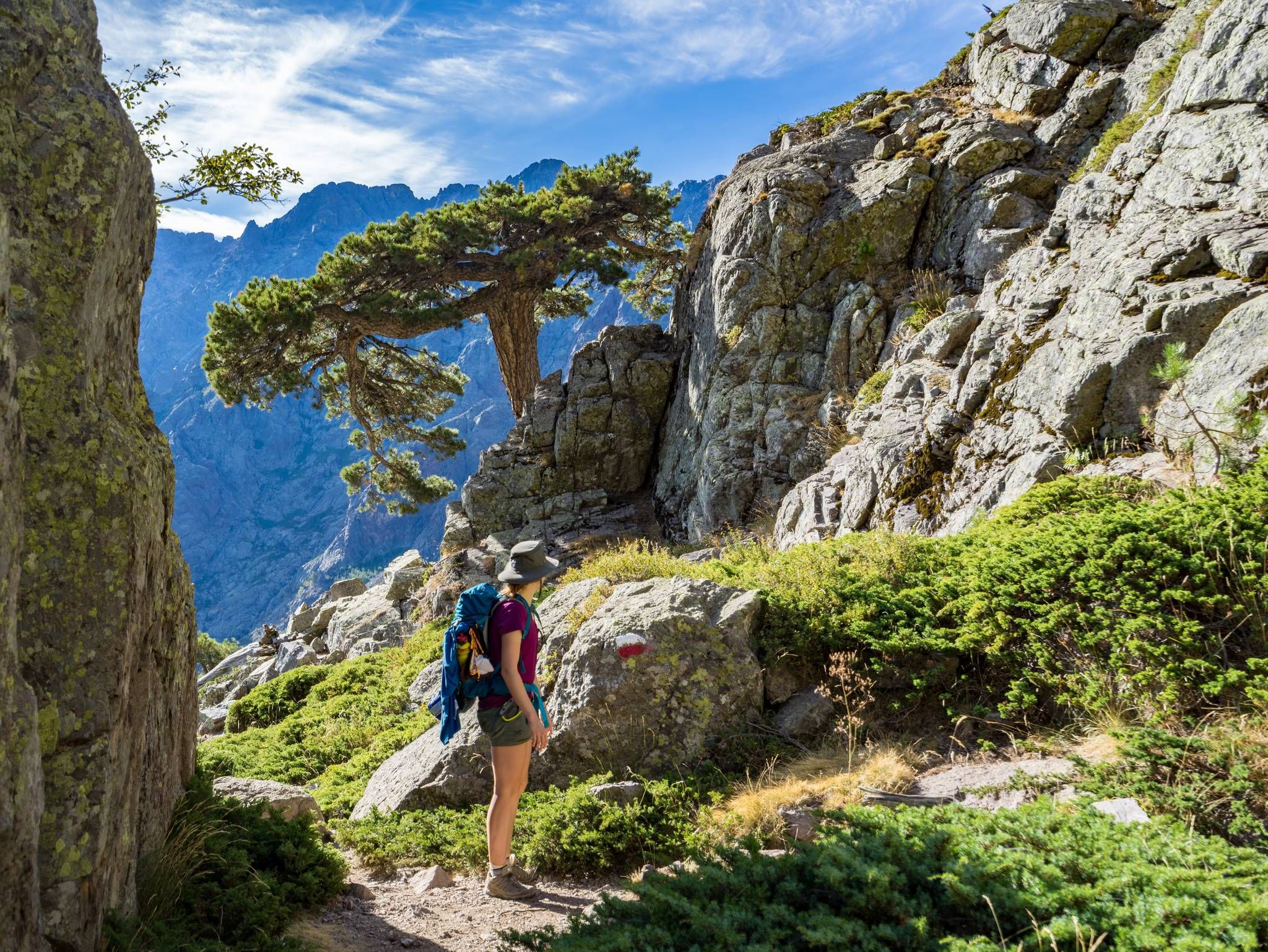
GR20を通ってコルシカを横断する – ヨーロッパで最も過酷な長距離ハイキング・トレイル
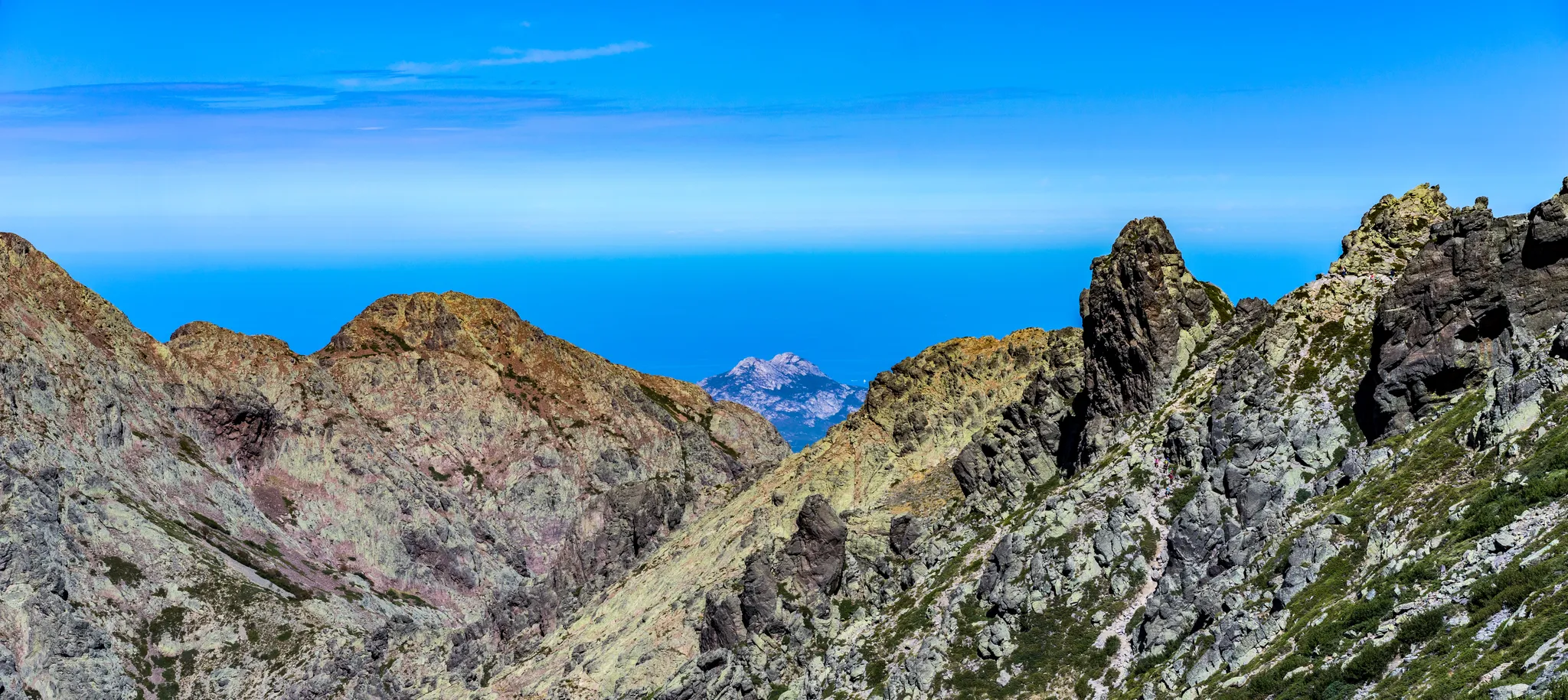
山から海まで - マレ・エ・モンティ北
コルシカのGR20の山峰と避難所で6日間バックパッキング
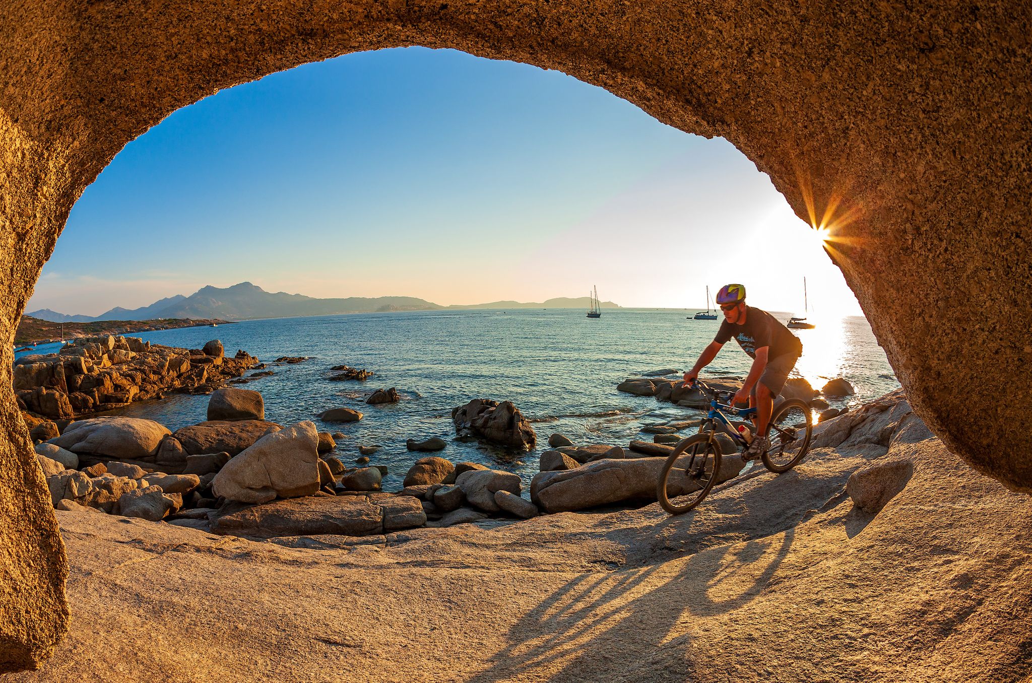
Mountain biking in Corsica – routes between Balagne and Castagniccia
Corsica's discovery hikes — between sea and mountains
The Ajaccio region on foot and by bike – loops between sea and mountain
ラ・グランド・トラヴェルセ・ド・ラ・コルス・ア・ヴェロ — ラ・GT 20
コルシカの素晴らしいハイキング – 自然の地
アルタ・ロッカの心臓部 - マーレ・ア・マーレ・スード(コルシカ)

ハイキングトゥザサミッツ–フランスの最高点
コルシカ島でのの他の冒険


コミュニティからのヒント


Tamarone Beach is located on the east coast of Corsica near Macinaggio (municipality of Rogliano) and is considered one of the most beautiful, quiet beach destinations in Cap Corse. 🌊 Brief description: Nature & surroundings: Approximately 500 meters of fine sandy beach, framed by Mediterranean scrubland (maquis), pebble and rocky coves. The vegetation appears wild and untouched. Water & marine life: Crystal-clear turquoise water with good visibility – ideal for swimming, snorkeling, or sports activities such as paddleboarding and kitesurfing. Access: Accessible via a 2.5 km unpaved road by car or on foot via the "Sentier des Douaniers" (Customs Path) – accordingly, it is rather quiet and unspoiled. Services & infrastructure: Parking available, seasonal paillote (beach café) nearby. Several smaller, quieter coves are located nearby. Posidonia seagrass grows in places on the sand. In a nutshell: Tamarone is a protected sandy beach with fine sand and crystal-clear water, nestled in a wild coastal landscape. It impresses with its tranquil atmosphere and its direct location on the historic coastal path – perfect for anyone who wants to enjoy the unspoiled nature and the sea.
2
0

The hiking area at Lake Melosee is currently (as of May 2024) closed because the access road is not passable!
2
0


Great gem with wonderful views. The track has its steeper moments, but that's not too bad. The surface isn't always the best either, but it's not dramatic with a tire width of more than 25 mm. Definitely go there because there is almost no traffic and it is really impressive.
0
0

We did the climb from the Restonica valley in early July. Heavy rainfall in May caused exceptionally large snowfields below the couloir. Orientation and finding a way was therefore more difficult than under normal circumstances. In particular, the descent on what is actually the same path required a good sense of direction, very confusing, also due to randomly placed cairns that ended in dead ends below the couloir (sometimes on the mighty, too steep granite slabs, which abruptly bordered snowfields and forced to turn back... with then new attempts). In total we have 15km, 3200m difference in altitude (ascent, descent), 6.5 hours in motion and 11.5 hours total time (2 x 45min breaks, remaining time for photos, path search) needed. Tip: be sure to inquire about the snow situation beforehand. possibly Bring a toddle, a snow plate for sticks and a rope. Luckily the snow was very soft, so we didn't need all that. Sticks are mandatory!
0
2

Beautiful lake surrounded by pastures and meadows, which can also be circumnavigated on a hike
0
0


komootモバイルアプリでインスピレーションを得よう


さらに探索
まだ完璧な湖が見つかりませんかコルシカ島での?これらの地域のガイドをチェックして、さらに美しい場所を見てみましょう。
